Selden Pass to Mather Pass (48.7 PCT Miles)

Morning clouds and first light reflected on Marie Lake.

Heart Lake, with its infinity edge and still as a mirror.
Dawn of Day 86 was chilly as we awoke next to Marie Lake. We did have the good fortune of still air and nearly clear skies, much appreciated after yesterday's threat of rain and many windy nights. We headed up towards Selden Pass just as sunlight touched the tips of the surrounding peaks and each time we looked back, the views of Marie Lake and the mountains stretching all the way north to the Silver Divide just kept improving. The pass at 10,900' was sunkissed as we arrived, and we briefly basked in the warmth before dropping down the south side into a narrow chute guarded by Whitebark pines and sheer granite walls. The taller granite wall to our west had a slight pink tinge and morning light reflected this color down into the shaded section below. We exited the chute and walked through a narrow meadow before reaching Heart Lake. Its surface was glasslike on this still morning, and we savored the reflections of the surrounding peaks and the infinity-pool appearance of the far shore. Passing Heart Lake, we came across the first section of trail that Huckleberry and I had worked on during out PCTA service trip. We marveled at the appearance of "our" check steps and the surrounding meadow restoration. Two years ago, this section was heavily rutted, washed out, and overgrown with willows. The short stretch of wide and level trail tread with large even granite check steps may not seem like much, but knowing how many person-hours of work went into this result and seeing the difference in the trail and surrounding meadow, we were proud of the work we did with that trail crew. All the way down to Sallie Keyes Lakes, we took time to relish the spots where worked on the trail on that weeklong trip. We jumped on check steps I had helped install, confirming they were still solid, and oohed at the retaining wall Huckleberry spent most of two days helping to construct. The trail crew leader Andrew had said during our trip that the work we were doing had to withstand both hikers and horses walking on it for 100 years or more. So far, it looks like our little contributions will stand the test of time.

Huckleberry standing at the end of our team's trail work.
NB: If you are interested, there is a report on our website about this volunteer trip. The PCTA along with local affiliate groups organize many service trips each year on the PCT. If you spend any time at all in the wilderness, I think that doing trail work is a rewarding and wonderful way to give back, and really makes you see how much effort goes into constructing and maintaining these trails which are easy to take for granted.

Emerging like trolls from under the bridge and seeing the brewing storm clouds.
After saying good-bye to our worksite, we started the long descent towards Florence Lake. The forested slopes, were populated primarily by Lodgepole pines at first though as we dropped in elevation we came through Red fir then Jeffrey pines, Western juniper and even aspens. We had views out past Kaiser Pass and the Central Valley of CA beyond, identifiable by the brown haziness on the horizon. We continued past the junctions for Florence Lake and then Muir Trail Ranch, where we had stopped in to resupply on our JMT trip, but today we just waved hello and goodbye and hiked on towards Piute Creek. This waterway marks the boundary between the John Muir Wilderness and Kings Canyon National Park, with a huge steel bridge over the creek that has often served as a rest and snack stop on previous trips in this region. While Huckleberry started on some "hiker laundry" (rinsing dirt and sweat from socks in the rushing water), I spread out the rainfly to dry out from the previous night's frost then joined her by the creek. We hung out like trolls under the bridge on a broad apron of granite, snacking on Somersaults and wishing the watermelon-flavored GU brew we had was really slices of the fresh fruit. Not long after we sat down, we looked up to find that the slight cloudy sky to our west had changed dramatically and now there seriously ominous clouds covering much of the sky, moving quickly, and headed our way. We packed up beat tracks up the trail along the South Fork San Joaquin River towards Evolution Basin to see if we could stay ahead of the clouds.

The aspen corridor along the San Jaoquin River.

Huckleberry walking along Evolution Creek under the passing rain storm.

The last of the evening light on Mt Mendel, Mt Darwin and Mt Spencer above our "private" Evolution Lake.
Having crossed into Kings Canyon National Park, we are now in the heart of the Sierra and the portion that we know most intimately. Starting with our JMT hike 9 years ago, we have spent part of almost every summer and early autumn in this region, both on and off-trail. We remembered that the last time we were on this exact stretch of trail, it was an early season (late July) trip in a year of high snow. Both Piute Creek and the South Fork of the San Joaquin River were raging with snowmelt so that we actually altered our plans to avoid fording Piute Creek even far upstream from this point. Instead we followed the JMT to Evolution Basin and and there were several large snowfields on the banks of the San Joaquin. Not so much today. The trail had evidence of rain from the previous afternoon's storm and that along with the advancing grey wall of sky behind us prevented us from lollygagging much.

First light on peaks north of Evolution Lake.

The new version of our trustworthy home for nearly the past 3 months. TNF Mica 2.
The climb up to Evolution Basin was familiar and as always we enjoyed the fantastically shaped Western junipers along with the views to the opposite canyon wall awash in fall colors from patches of aspen and willows. Rain was visible falling on near ridgelines and as we neared the top of the steepest section, the first few rain drops started to fall on us. Once the grade eased, we pulled out our umbrellas against a steadily heavier rain and made our way along the creek towards the spot where the trail crosses. The ford was less than knee deep and walking across was a refreshing break as the day was still pretty warm despite the current burst of rain. The rain conveniently stopped as we were drying our feet off, and the sun started to make an appearance through clearing clouds. From McClure Meadow we had our first views of the Hermit and the ridgelines of Mt Mendel and Mt. Darwin. We reached our destination of Evolution Lake just as the sun was dropping below the mountains to our west. Happily, we appeared to have the generally popular lake to ourselves and found a wonderful campsite close to the outlet. There was time for a brief and chilly rinse off before dark. We enjoyed dinner by headlamp and spent a short time stargazing and marveling at how many stars we could seen on yet another cold night before retiring to the warmth of our sleeping bags.

Granite boulders and backlit autumn colors between Sapphire and Wanda Lakes.

Mt. Davis and Wanda Lake (background) from Muir Pass.

Interior detail of Muir Hut. Solidly built 80+ years ago.
The morning of Day 87 was again frosty, as has become the norm for us. As we continued the long but not difficult climb towards Muir Pass we passed a few other tents far along the shore of the lake, with no evidence of anyone stirring. We realized how lucky we had been to find our perfect and deserted campsite, with no evidence of these others sharing our "private" lake. The mere fact that we felt like we had the entire basin to ourselves while several others were in fact nearby was simply magical. The entire lake was still in deep shade and a thick layer of frost covered the plants along the trail as we crossed the inlet on stepping stones and continued our chilly climb. Nearing Sapphire Lake, we got our first sunlight of the morning and were able to remove some layers accordingly. While the temperature was still brisk, we had sun and bluebird skies as we reached Wanda Lake. There were a several more people (all JMTers) camped here, and many were just stirring. One foursome sheepishly offered "all of our stuff got frozen last night, so we have to let it dry," apparently a little embarrassed to still be in camp so late in the morning. Although we smiled and commiserated, we remarked after passing that this would never do on a full PCT thru-hike, or they'd still be in Oregon! Heading on towards Muir Pass it was starkly beautiful as we were surrounded by granite slopes, occasional snow fields, rare trees, and the deep blue of the upper lakes. Above us, we could see the wide pass and the distinctive rock shelter built in the 1930s to commemorate John Muir. Wispy clouds emerged from behind the high peaks then dissipated as they traveled across the sky. We call these peaks "cloud generators" and the resulting clouds can either be innocent like these were, or quite ominous. We reached the pass by 10am and took a break to have a snack and explore the shelter. While we've been here numerous times before, we always marvel at the little stone hut. It's a solidly built circular structure about 12' in diameter made with locally sourced rock. At one time it had a functional fireplace that has since been sealed.Although we smiled and commiserated, we remarked after passing that this would never do on a full PCT thru-hike, or they'd still be in Oregon! Heading on towards Muir Pass it was starkly beautiful as we were surrounded by granite slopes, occasional snow fields, rare trees, and the deep blue of the upper lakes. Above us, we could see the wide pass and the distinctive rock shelter built in the 1930s to commemorate John Muir. Above all of this wispy clouds emerged from behind the high peaks then dissipated as they traveled across the sky. We call these peaks "cloud generators" and the resulting clouds can either be innocent like these were, or quite ominous. We reached the pass by 10am and took a break to have a snack and explore the shelter. While we've been here numerous times before, we always marvel at the little stone hut. It's a solidly built circular structure about 12' in diameter made with locally sourced rock. At one time it had a functional fireplace that has since been sealed.

Helen Lake and the Black Divide as we head south from Muir Pass.

Aspen leaves littering the trail along the valley of Palisade Creek.

Full fall foliage on display along the canyons as we climbed towards the Golden Staircase.
On the way down we approached one of my favorite lakes in all of the Sierra, Helen Lake. It is nestled in a high cirque above tree line along the Black Divide. The lake is a wonderously deep blue and it is simply stunning surrounded at this point by the lighter granite slopes and the darker multihued slopes. From this lake we started our long drop into LeConte Canyon. In the upper reaches of the canyon we passed a few smaller lakes, and saw several snow fields in the deeper recesses. We meandered along the Middle Fork of the Kings River as it grew from a trickle near Wanda Lake to a full-fledged River we would think twice about fording. Since Wanda Lake, there had been a steady cool wind that made us keep on a few layers and it wasn't until almost noon that we had finally descended enough that the air had a warm feel to it despite the bright sun. After stopping to remove another layer, I realized that these last few September days were probably the end of our Indian Summer. It had been warm enough for short sleeves and shorts by mid-morning for the past few days, but it felt like those days were behind us now. Even in the lowest elevation of this canyon, in the mid 8000' range, it was long-sleeved weather to me. The air is now filled with the unmistakable smell of autumn leaves from all of the aspen leaves that litter the trail. This smell is one I know well from many autumn days spent raking leaves where I grew up, in Minnesota. LeConte canyon also marks one of the longest climbs in both distance and elevation from a valley floor up to the top of a pass along the length of the PCT in all of the Sierra Nevada. From the low point around 8000', we will climb up to Mather Pass at 12,100' over just 11 miles. Our original goal was to get about half of the climb out of the way today and save the rest for tomorrow, but as the day wore on we decided to adjust our goal and found a campsite along upper Palisade Creek at ~9000' instead, saving the entire serious climb for a single morning.

Stag party in Upper LeConte Canyon.
This section of the trail has been teaming with wildlife, in contrast to previous weeks and miles. In the late morning we passed a group of 4 stags grazing along the trail. They nonchalantly glanced at us as we walked by mere feet from them, I guess they know it's a) hunting season and b) there's no hunting allowed in the national park. Down in the depths of the canyon we saw plenty of scatolgic evidence of bears, though we had not seen an actual bear for about 2 weeks. In mid afternoon as we were chatting away I looked up and saw a young subadult bear walking in front of us on the trail. I stopped Hucklebery and the bear looked at us both quizzically before running back towards the creek. Finally, as we crossed Glacier Creek nearing our night's campsite, a porcupine ambled across the trail not seeming to even notice us, and kept walking into the undergrowth without a care in the world. Apart from the ubiquitous stripped ground squirrels, Douglas squirrels and Clark's Nutcrakers, this was the most wildlife we'd seen in one day this entire trip.

Upper Palisade Lake with a view up to Mather Pass.
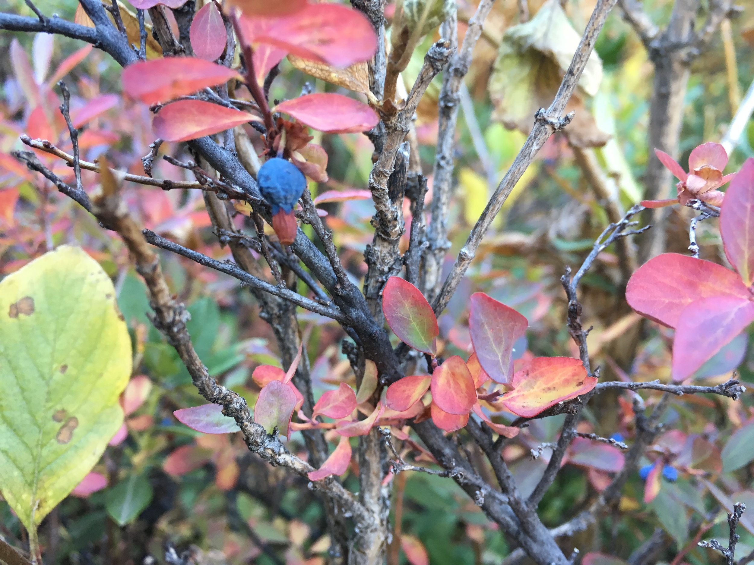
Last of the Sierra huckleberries. A little drybut oh so tasty. A worthy distraction along the Golden Staircase.
The next morning we climbed up the "golden staircase", a long series of granite steps and short, steep switchbacks from the valley up to the Palisade lakes. At the first shelf, less than a mile from our campsite and at the spot we'd initially considered camping last night, we were greeted with a booming "hello, fellow hiking enthusiasts!" There were a few tents and 3 JMTers, and while it was a sweet spot we were glad we had stopped at our private campsite down on the canyon floor as it would have been a crowd with two more. We chatted briefly and assumed we might see them between here and the pass, as they had nearly broken camp. We continued the steep climb to Palisade Lakes, where the PCT/JMT intersects with the Sierra High Route that heads off-trail over Cirque Pass into Palisade Basin. The SHR is a largely off-trail route that covers a similar section of the wilderness as the JMT, but as the name implies it stays as high up on the ridges and passes as possible, avoiding the long drops into lower elevations. We've hiked several sections of the SHR and it has helped us to become so familiar with off-trail travel in this section of the Sierra. Around noon we made it to Mather Pass. It's not the highest of the Sierra passes, but from the north the climb up is long and arduous, and reaching the pass still feels like a major accomplishment. We had stunning 360 degree views, warm sunshine and (shockingly) no wind. I guess we have a little moment of Indian summer left after all.

At home in our TNF Mica 2 under Ursa Major at Evolution Lake (10,852') .
We've been hiking on the PCT for just over 12 weeks now, walking through several mountain ranges across three western states. There is a Norwegian word to describe how this feels and I think it sums up the sensation better than any word in English. Fjellvant. It means being accustomed to walk in the mountains. It is the perfect word to encapsulate and encompass this time in our lives that I know we will always look back on and hold dear. We love being out in these mountains as they are so special to both of us. They have become an important part of who we are and walking from one end of our country to another, following this chain of mountains, has been a monumental journey and a life-changing experience. Fjellvant perfectly describes our thru-hike and seems like an appropriate thought to leave off with for now.
-Macro