Quincy-LaPorte Road to Hwy 49 / Sierra City (36.9 PCT Miles)

Long views from high slopes on Day 69
More dried mule ears, more rhythm section

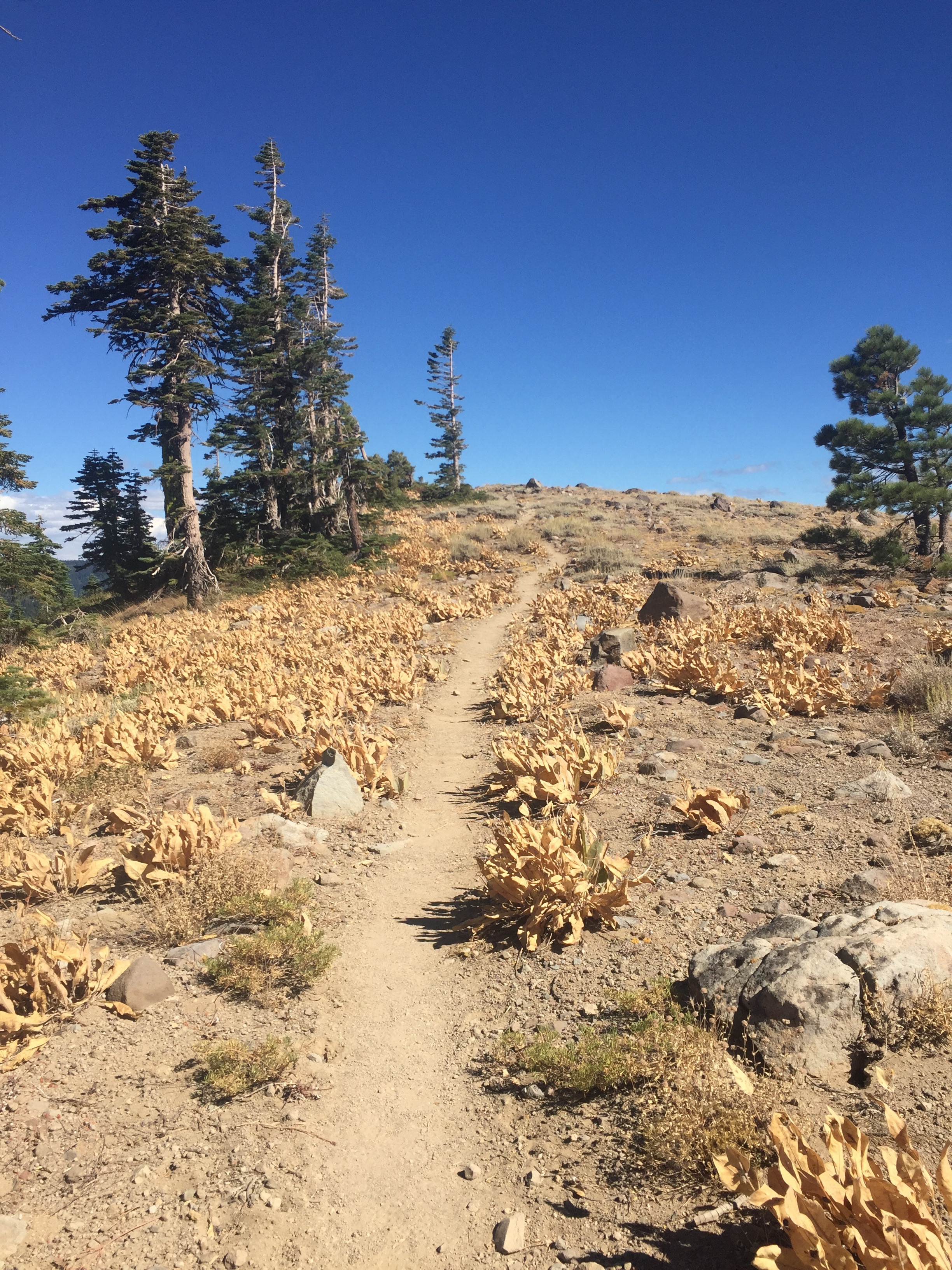
Sandy ridge with sage contrasts well with the deep blue sky on Day 69.
We had only planned to hike another ~10 miles after leaving mom and her amazing feast, but looking at the map we realized that the availability of water and campsites did not leave any options at this distance. Pitbull had his eye on a site with water 15 miles away, and we decided to join him. We were stuffed from the delicious lunch, and our packs were heavier with resupply food and water, so our progress was a bit slow for the first hour. Fortunately after an initial climb the trail traversed for a bit, and by the time we started gaining elevation again our food had more or less digested. We enjoyed some high ridgetop walking through dry mule ears and sparse Jeffrey pine, especially with dramatic clouds building in the distance. Rain and/or snow was in the forecast for the northern Sierra tomorrow and there was a definite chill to the wind even though the sun was still warm. We climbed past a few pale sandstone slopes, and by late afternoon were treated to views of several granite faces and a distant rocky ridge across the valley. Our progress slowed again as we stopped to take several pictures in the later hours of the day. We are definitely seeing the transition from volcanic northern CA to the granitic Sierra Nevada. Having someone new to talk to made the miles roll by, and we enjoyed Pitbull's pace and company. Before we knew it we were at our campsite, 30 trail miles from the middle fork of the Feather River. Even with our 2+ hour break for lunch, we arrived before dark. It was one of the colder nights we've had, and we pitched our tent with the rain fly given the forecast storm.

The ridge above Spencer Lakes

Deer Lake from our lunch spot

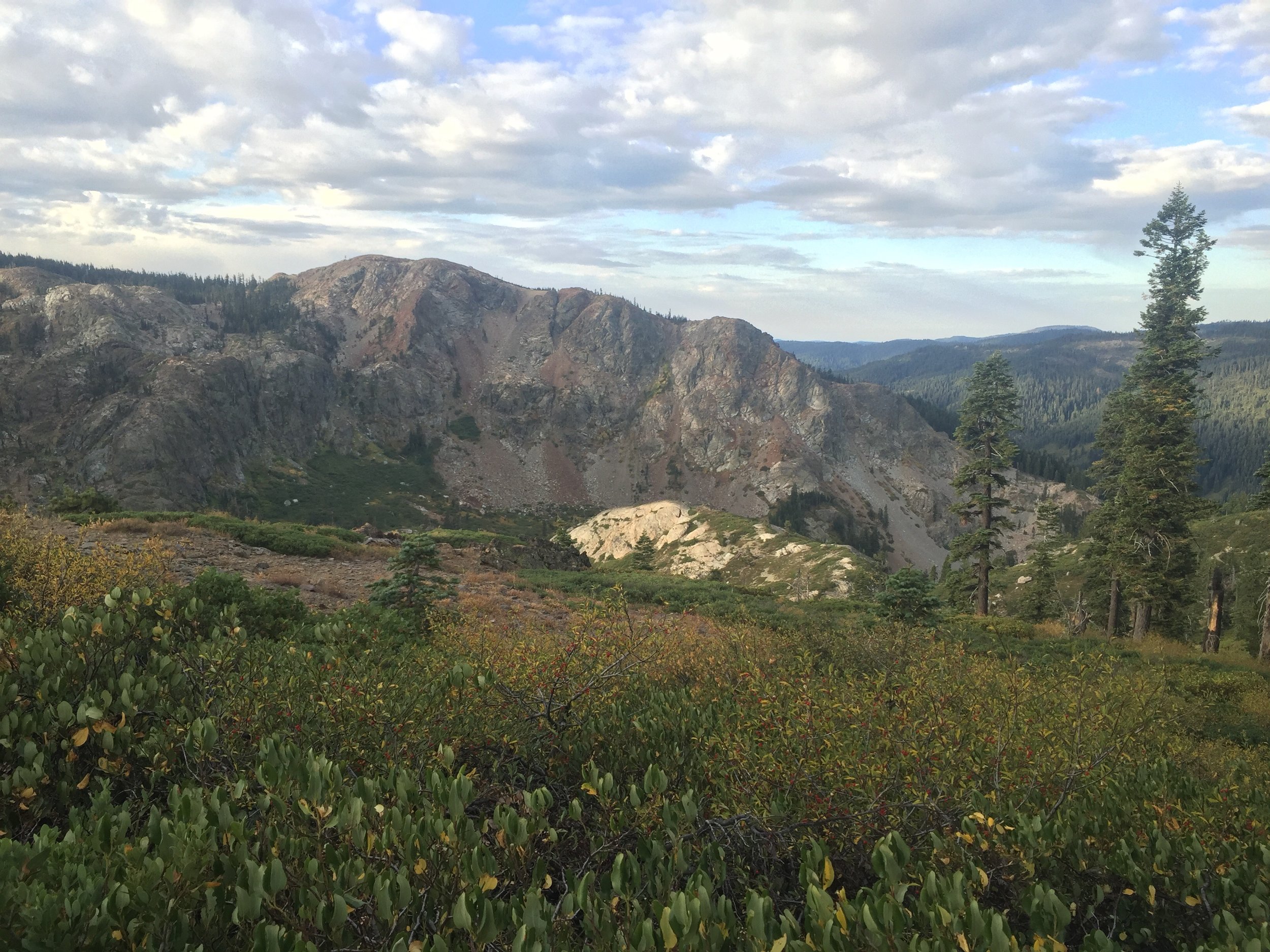
High elevation trees near Lake Basin
Pitbull headed out early on Day 70, aiming for his resupply in Sierra City and hoping to get there by early afternoon. We didn't get any rain overnight and the clouds had cleared but it was even colder in the morning and we weren't terribly efficient about getting on-trail. Once we did start hiking we made slow progress due to great scenery. We passed the glittering blue Spencer Lakes sitting on shelves of the golden rocky ridge of last night, then climbed up to a knoll overlooking large granite expanses just north of Lake Basin. We meandered through a high elevation forest of Mountain hemlock and Western white pine punctuated by gnarled snags and pale granite boulders. The air remained cool and we kept our extra layers on most of the morning given the dark clouds building to the east. The craggy peaks of the Sierra Buttes got ever closer as we followed the trail from one side of a ridge to the other, and although we never got into Lake Basin proper, we enjoyed high views of the surrounding granite basins and a few jewel-like lakes. We stopped for lunch on a rocky outcropping overlooking the large & very blue Deer Lake. We savored the last of the apples and carrots from mom's resupply along with more usual trail fare, and sat on the warm rocks a bit longer than normal. When we got up to start hiking the sun had gone behind clouds and it was chilly enough to put on an extra layer again. We had several more miles before reaching the Sierra Buttes and we wondered if the building clouds and cold wind would turn to precipitation by the afternoon. We had lollygagged through the morning's beauty, but with the sky and change in temperature we felt a little more urgency to get over the exposed rocky slopes ahead.
The trail stayed high on exposed ridges until we dropped down to Packer Lake Saddle, only to start a gradual climb along the shoulder of the Sierra Buttes just beyond. The views were amazing as we walked between rock formations and through dried wildflowers and still-blooming buckwheat on a narrow ridge. From there we made a stiff ascent that that took us to within a few miles of the summit before the PCT split from the lookout trail, turned, and crossed over to the far slope for our descent to Hwy 49.

The Sierra Buttes have been getting closer all day

The red shoulder of the Sierra Buttes

Tenacious Jeffrey and Sugar pines on the slopes of the Sierra Buttes
We started with an easy descending traverse through forest then crossed a steep red earthen slope then came out on the steep, rocky, and manzanita-covered south face of the Buttes. The clouds did not follow us but the wind was fierce. We could see the trail stretching out across the mountain in front of us, with wide switchbacks that disappeared around the next shoulder. A handful of enormous Sugar pines punctuated the vast expanses of manzanita, and a deep blue sky with just a few white clouds made a perfect backdrop for the dark crags of the summit above. We occasionally caught glimpses of the highway between the trees far below, though it would be another 7 trail miles and ~3000' of descent before we would reach it. The views of the mountain were stunning from every angle and at first our progress was hindered by all of our picture-taking. As we continued across the first few bowls we found ourselves hiking long stretches of trail overgrown with scratchy manzanita, with irregular rocky tread that slowed our pace considerably. As the afternoon wore on the wind remained steady, with occasional strong gusts that threatened to knock us over. The combination of constant wind and sun exposure was tiring, and as we continued along the endless traversing and switchbacking descent we wondered if we would ever get to the base of this mountain. Fortunately the last 4 miles were forested, which meant both shade and a break from the wind. As a special bonus, the trail was soft dirt with only occasional rocks and made wide and regular switchbacks so the final 1000' of descent went by with ease.

That big zig zag is how we're getting to the bottom of the canyon far below. Sierra Buttes to Hwy 49.
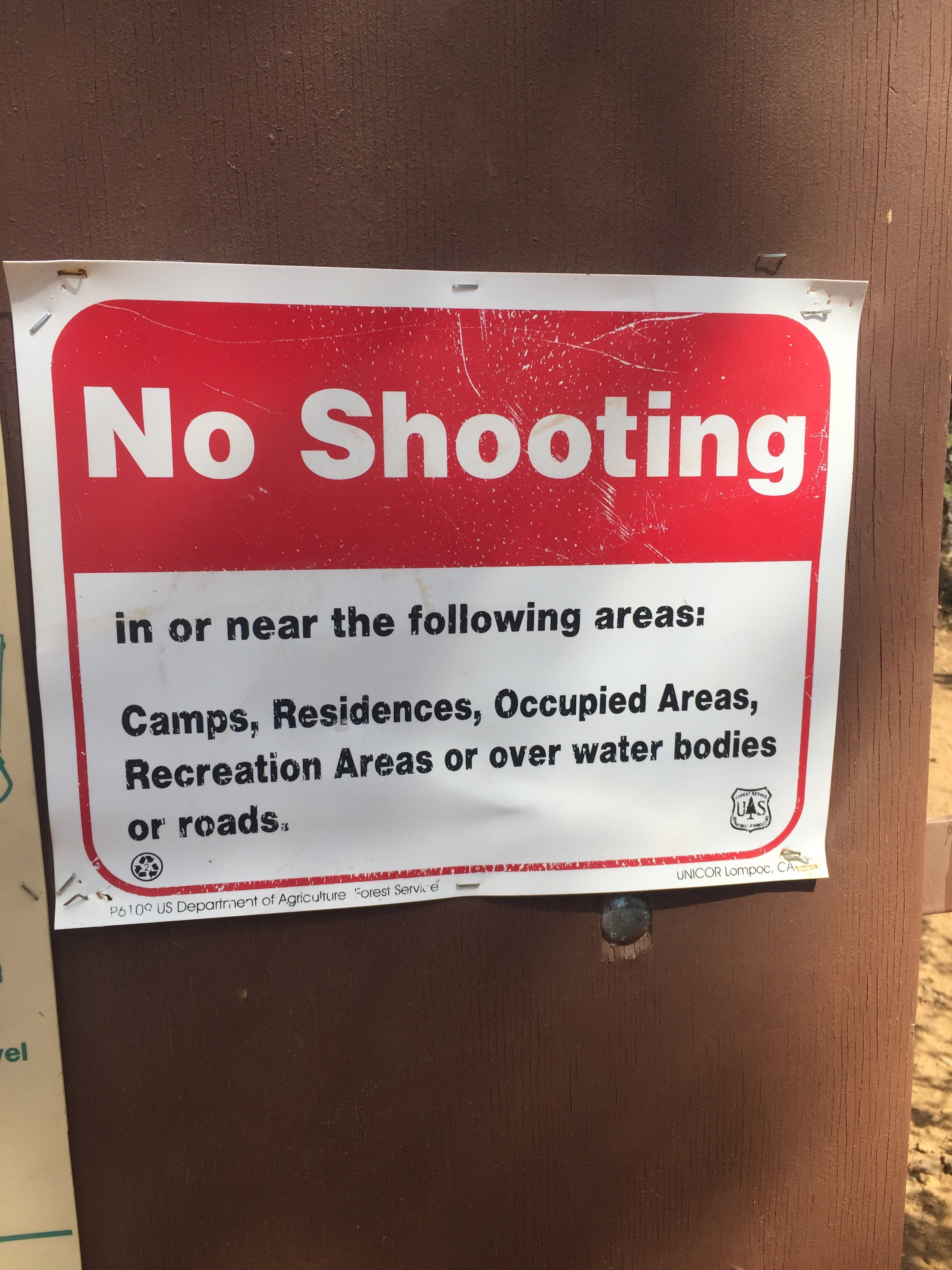
Now that we're clear on that.... I guess in Lakes Basin you can shoot pretty much everywhere else
It's hard to believe that we have completed the PCT's northern CA section. From the rugged terrain of the northwest ranges with their groves of northern Foxtail pine, to the steep and verdant canyons of the McCloud River watershed or the high manzanita-covered slopes beyond, this section has held an incredible amount of diversity. We have gained and lost elevation in large chunks with long drops into (& subsequent long climbs out of) Seiad Valley, Castella, Belden, and now Sierra City and as a result have had the opportunity to see in fine detail how the ecosystems change along with elevation, latitude, and aspect of slope. We walked past the southernmost volcanos of the Cascade Range, crossed the famously dry but secretly beautiful Hat Creek Rim, wandered many dramatic ridgelines, and enjoyed a taste of higher elevation granite basins that let us know we are nearly to the Sierra. Although I grew up in the region and felt I had backpacked extensively in this corner of my home state, we passed several unfamiliar areas we plan to visit again with more time to explore, and we went through one wilderness area I didn't even know existed. We recently learned that fellow SOBO Happy Feet used northern CA as a rubric for determining whether NOBOs he encountered were cool - he'd ask what they thought of the section and if they gave it favorable reviews he'd stop to chat. If they answered with long, hot, boring, ready to reach Oregon, etc, it was time to move on. HYOH. But Macro & I would have passed his test with flying colors because we found this section to be spectacular. Northern California may be under-rated by some PCT thru-hikers, but not by these two.
Fun Facts: Our favorite campsite in this section was on Night 56, at the junction to Coopers Meadow where we had the best view of the Milky Way yet from an exposed saddle. There were many days we loved for different reasons in this nearly 3-week stretch, but our favorite day would have to be Day 56 through the Trinity Alps when we recognized our first stand of northern Foxtail pine and found Sula's Creek lined with pitcher plants. Our favorite trail dinner was Night 62, when we had Madras lentils with brown rice and quinoa supplemented with salmon from my dad on the dark benches outside Subway Cave after an amazing walk along the edge of the Hat Creek Rim.
By the numbers: We crossed the CA border 2 miles into Day 51, and reached Sierra City on Day 70 to complete the PCT's Northern California section. In these 20 days we walked through 5 wilderness areas, two state parks, and one national park. During this stretch we hiked 497 PCT miles (and a handful of bonus miles). We took our second zero day on Day 65 near Chester, and excluding that day our median daily distance was 26.5 miles. Our shortest distance was on Day 52, when the sweltering heat and a resupply stop in Seiad Valley kept us to 16.6 miles. Our longest day of the section was also the longest day of the trip so far, when we hiked 35.1 miles on Day 61 to camp near Baum Lake and position ourselves for the Hat Creek Rim the following day. Our highest elevation campsite was on Night 57 atop Soapstone Ridge at 6667' before dropping into Castle Crags, and our lowest was on Night 52 alongside Grider Creek at 1737' after leaving Seiad Valley in the late afternoon. We slept above 5000' for 12 nights, and near or below 3000' for 6. We were indoors 3 nights, and in our tent for the remainder, though we pitched it with the rain fly only twice and had no significant precipitation in this section (despite a few blustery & fast-moving storms).
- Huckleberry