“This is not a tent. It is a funnel for rain!”

LOCATION
Sierra Nevada Mountains, California, USA
MILEAGE
~222 miles, on trail (211 on JMT + 11 to Whitney Portal)
TOTAL CLIMB: ~46,000' TOTAL DESCENT: ~38,000'
DAYS: 20 SEASON: late august into sept
STARTING & ENDING TRAILHEADS
Happy Isles / Whitney Portal


Basecamp: Yosemite Valley, Lower Pines Campground
Map: Tom Harrison JMT Map-Pack
GuideBook: John Muir Trail: The Essential Guide, by Elizabeth Wenk from Wilderness Press
Best Documentary: Mile, Mile & A Half
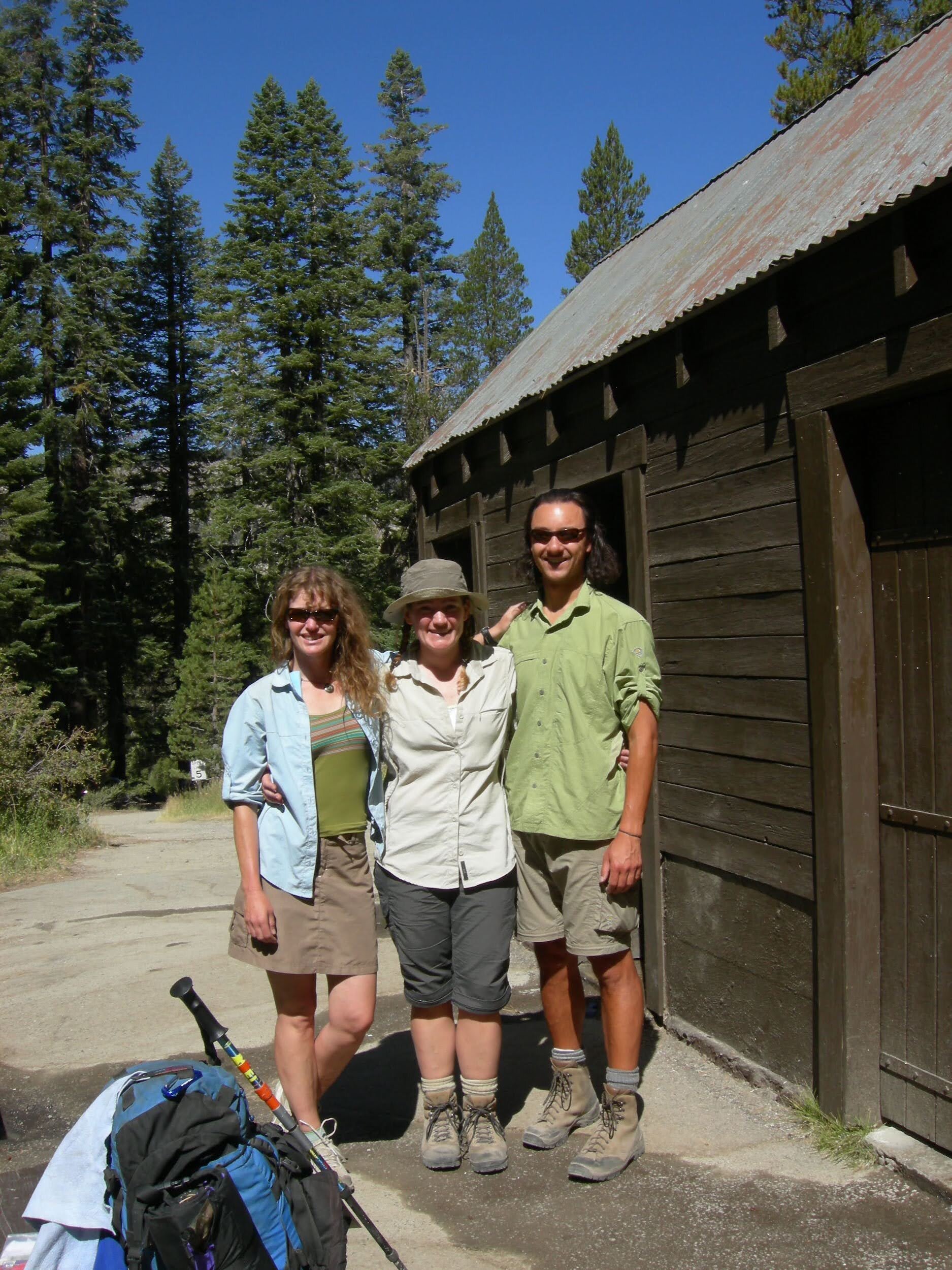
& also watch: The Long HaulDay -1, August 18, North Pine campground, Yosemite NP.
Valley impressions: No water. Yosemite Falls dry, Bridalveil Falls nearly so. Drove to Tuolumne Meadows and left an early re-supply with the ranger there. Last-minute equipment checks, went through the food one more time. Dice & cards in the evening. Excited to start hiking tomorrow!
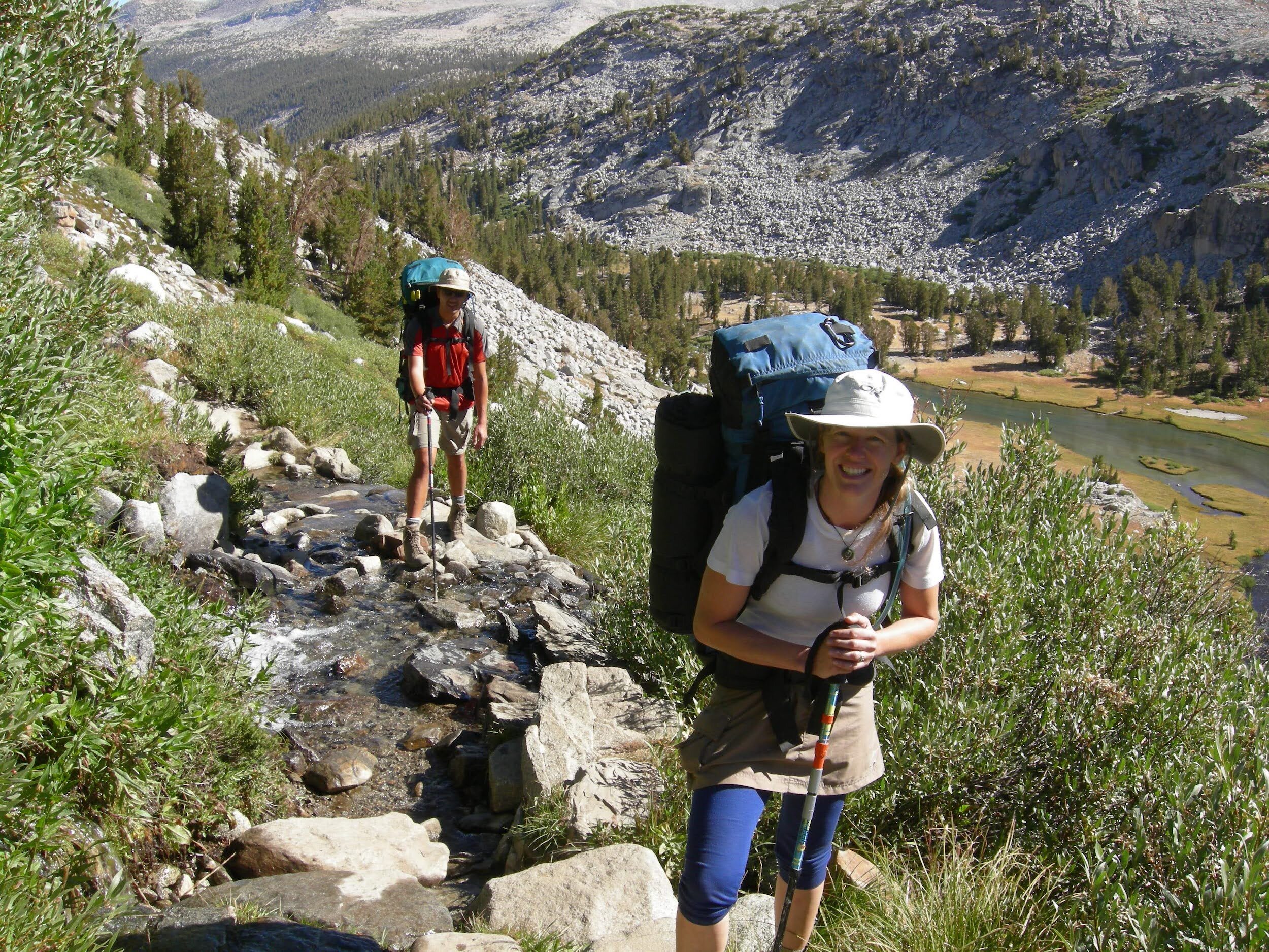
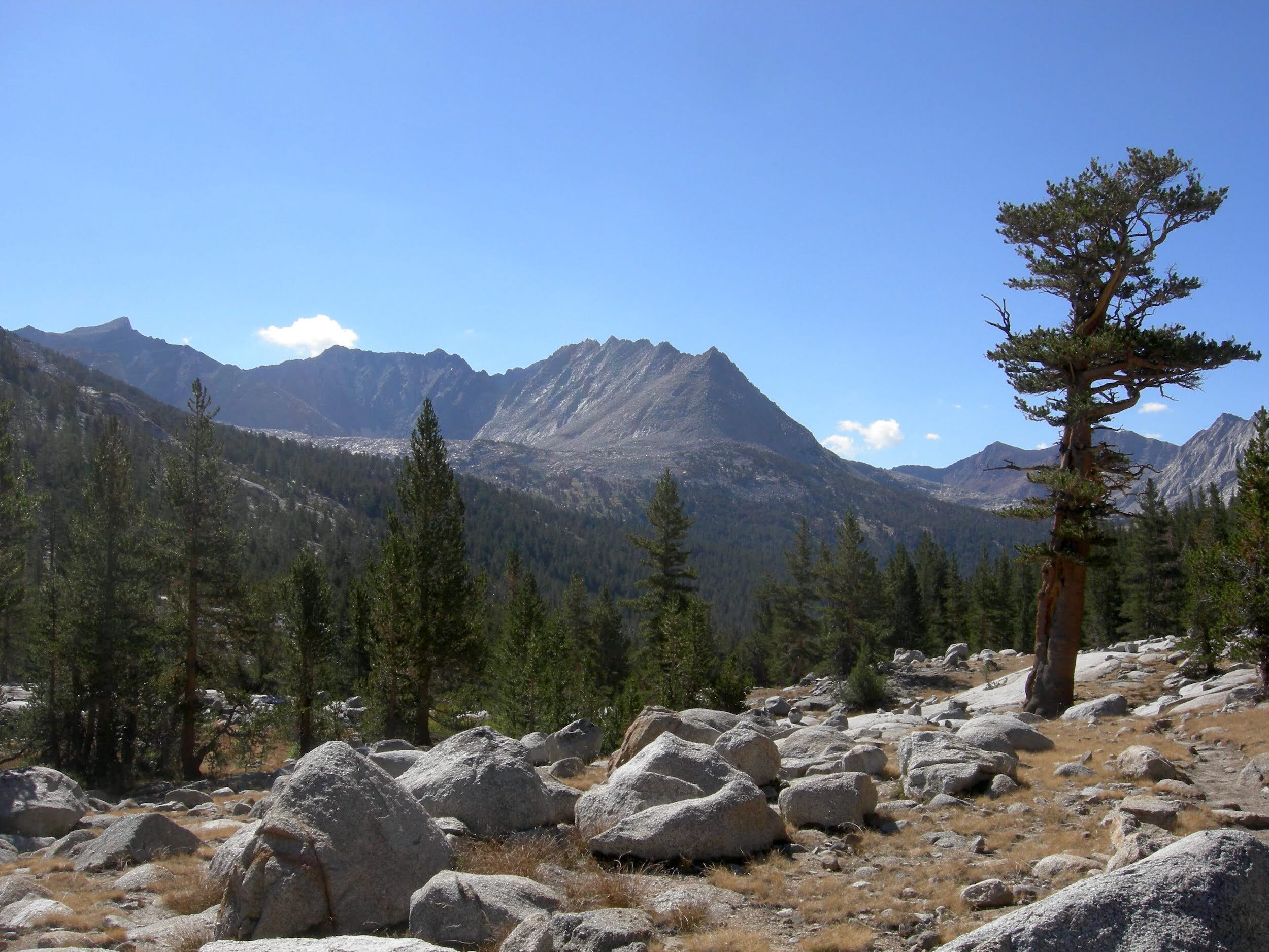
Day 1, August 19, Happy Isles, Yosemite NP to Forsyth Trail Jct (~7.5 miles).

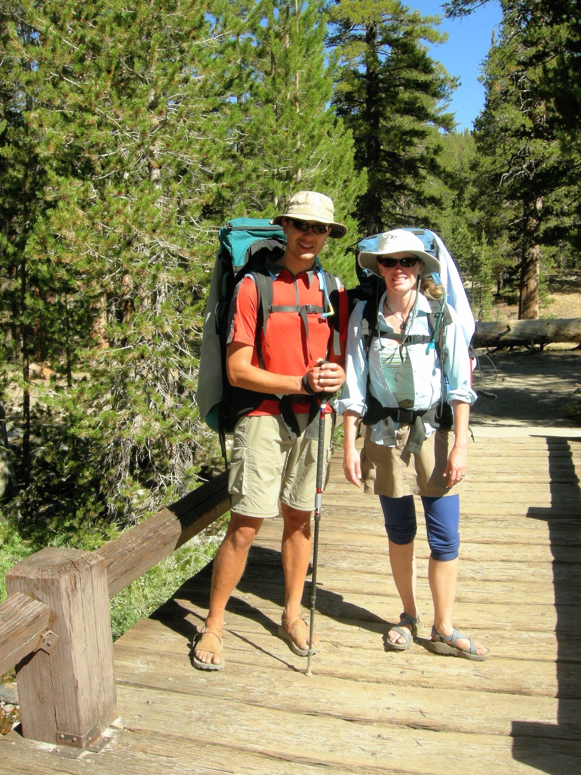
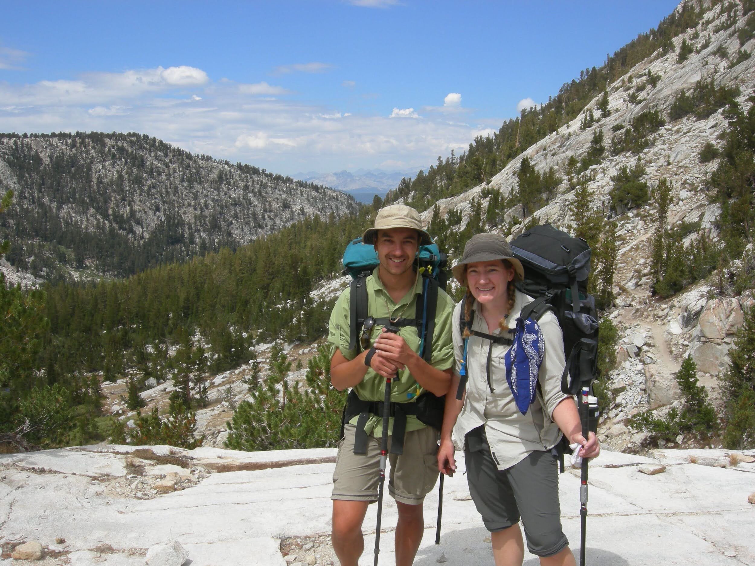
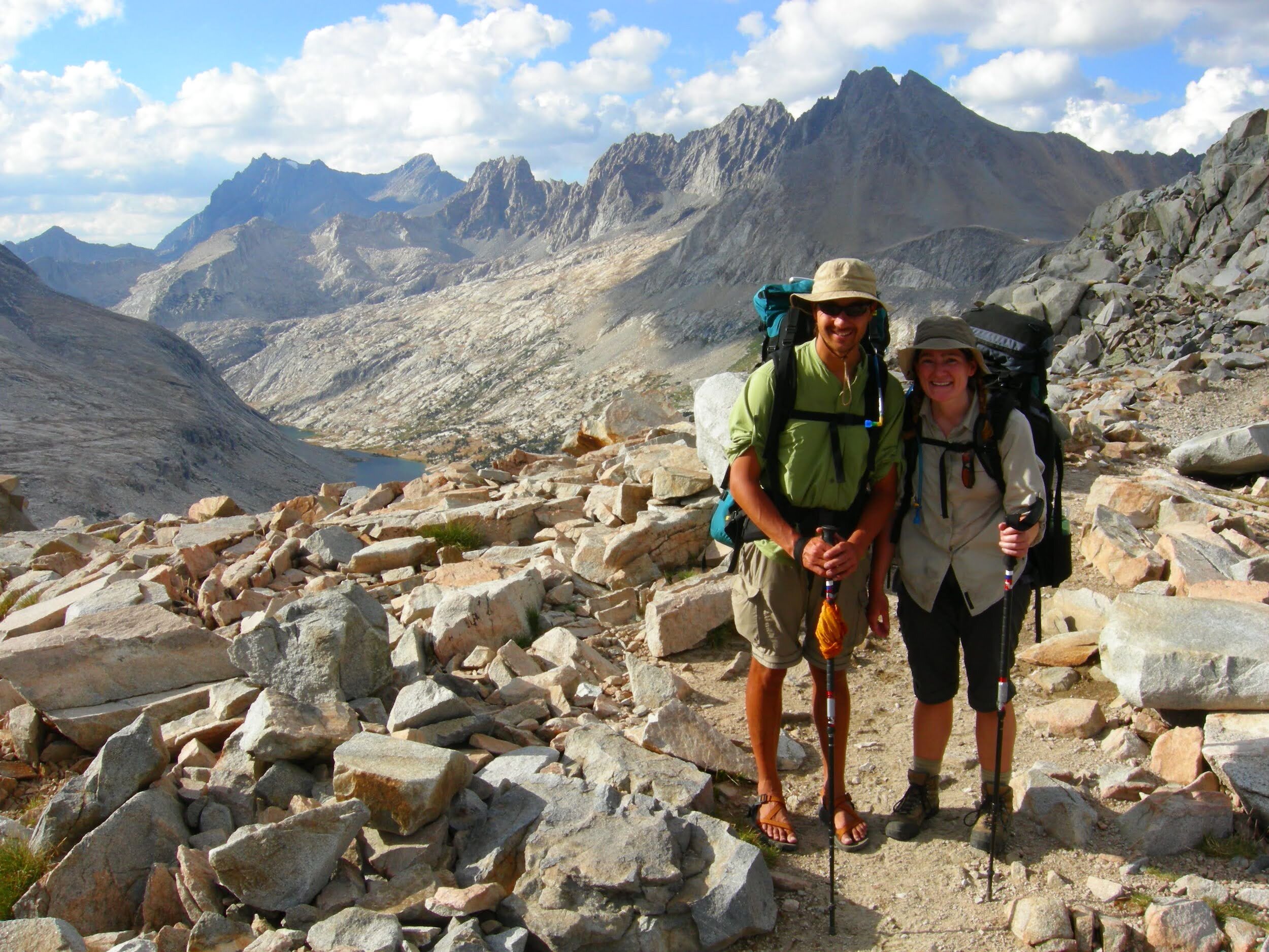
Obligatory “this is where we are headed” photo
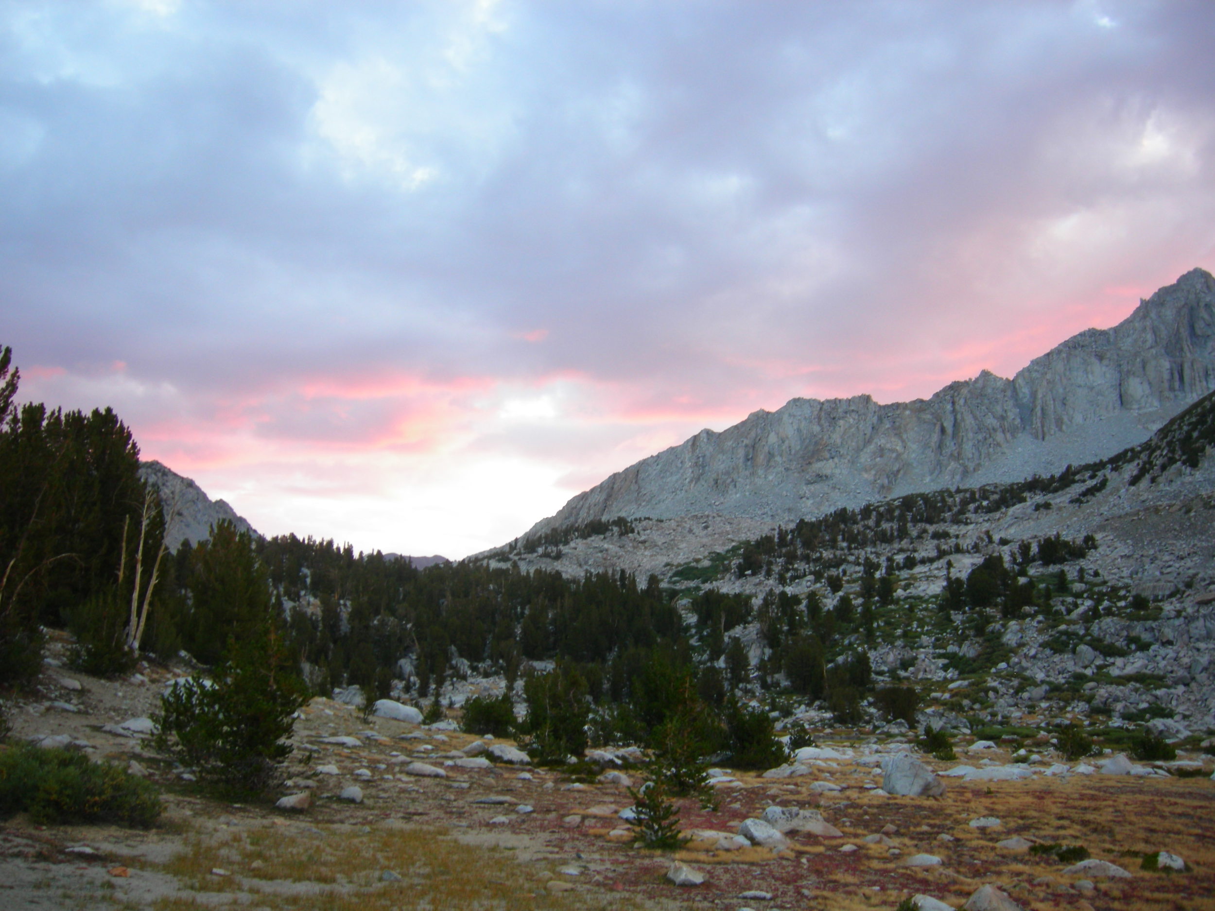
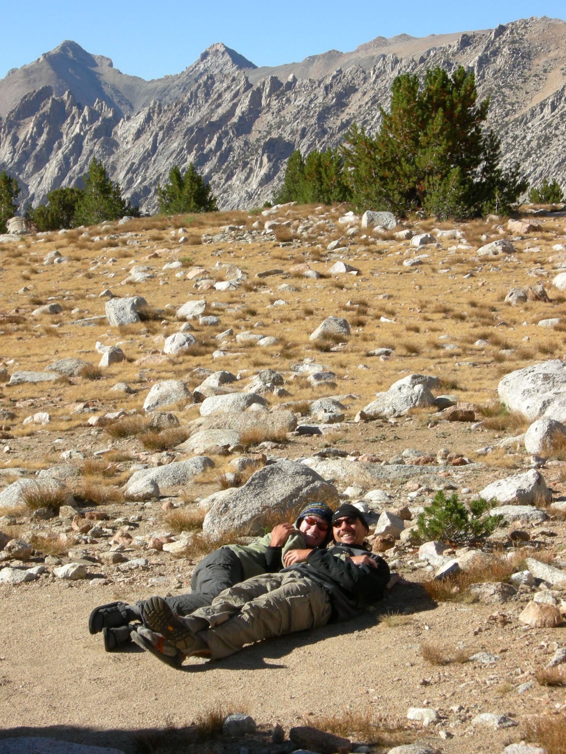
We walked by LeConte Memorial Lodge this am as we left the valley, something about that seemed to make it more official. [The building was renamed the Yosemite Conservation Heritage Center in 2016 at the request of the Sierra Club.] We said goodbye to Alan and hit the trail around 11am. The Mist Trail seemed a misnomer today, both Vernal & Nevada Falls were just trickles of water, especially in comparison to our last visit in March. Onward past Little Yosemite Valley. Saw one bear trashing a backpack at the Half Dome trail junction, several people watching but nobody doing anything about it so we scared it off. Alpenglow on Moraine Dome, will sleep in the open tonight.
Day 2, August 20, Forsyth Trail Jct to Tuolumne Meadows (~14.3 miles).
A long day of hiking, mostly uphill. Packs feel heavy and didn’t sleep well first night on trail. But still excited for the journey ahead. This morning there were does with fawns in the meadow, unbothered by our sleeping bags nearby. Such a dry summer, we saw a fire to the south of us as we hiked along a ridge. No water at Sunrise High Sierra Camp, which is closed. We’ll stay at the Tuolumne backpacker’s camp tonight and pick up the rest of our food for the journey south.
Day 3, August 21, Tuolumne Meadows to Lyell Canyon (~10.5 miles).
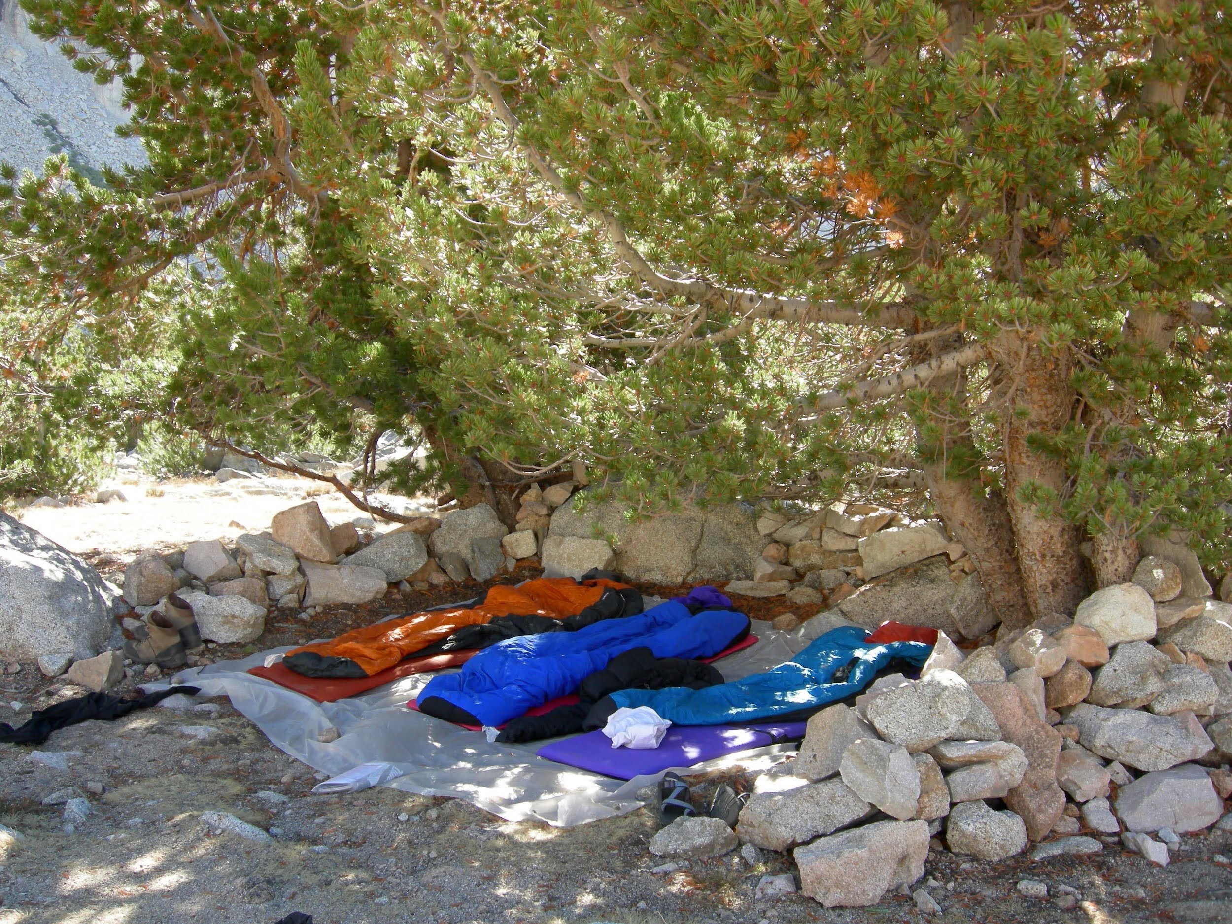
A beautiful walk along the Lyell Fork, with a long stop mid-day to take a dip in the water. Our packs are rubbing raw spots, Cheri & Tonya are putting socks and pieces of foam under various straps to help ease the pinch. We went up the initial switchbacks to the bridge and set up camp nearby in time for a relaxing dinner. Another night of sleeping out, though nobody got much sleep. With the food we picked up yesterday we couldn’t fit quite everything in our bear canisters. We brought along an Ursack for the remainder and tied it high in a tree as recommended… but around midnight a curious bear came by, and we spent the rest of the night scaring it away with rocks, banging on pots, etc.
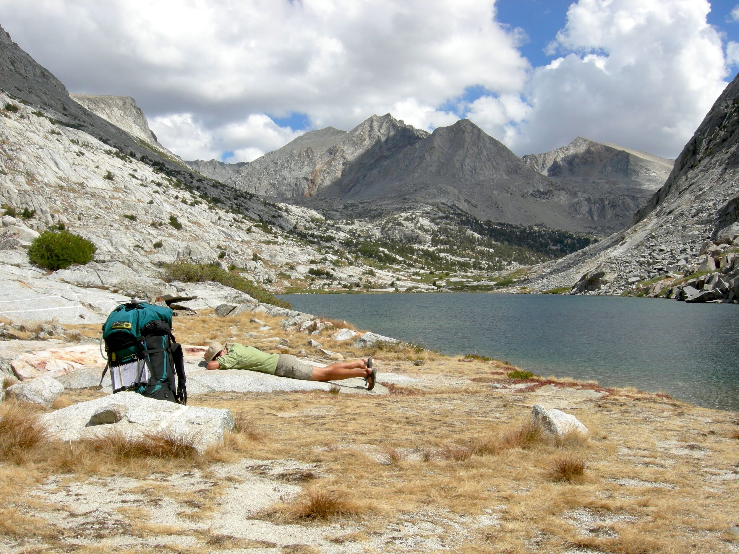
Day 4, August 22, Lyell Canyon to Thousand Island Lake (~9.5 miles).
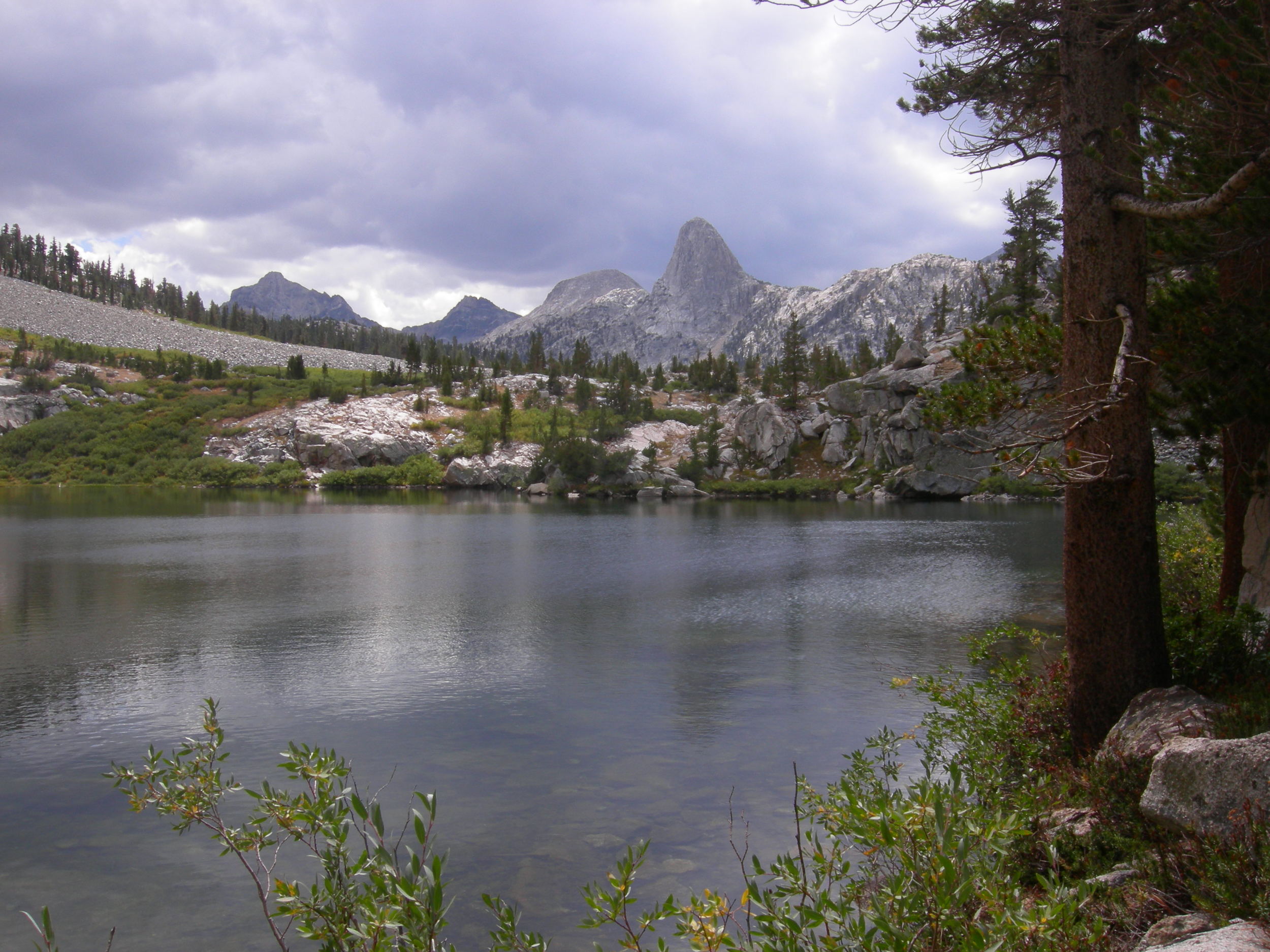
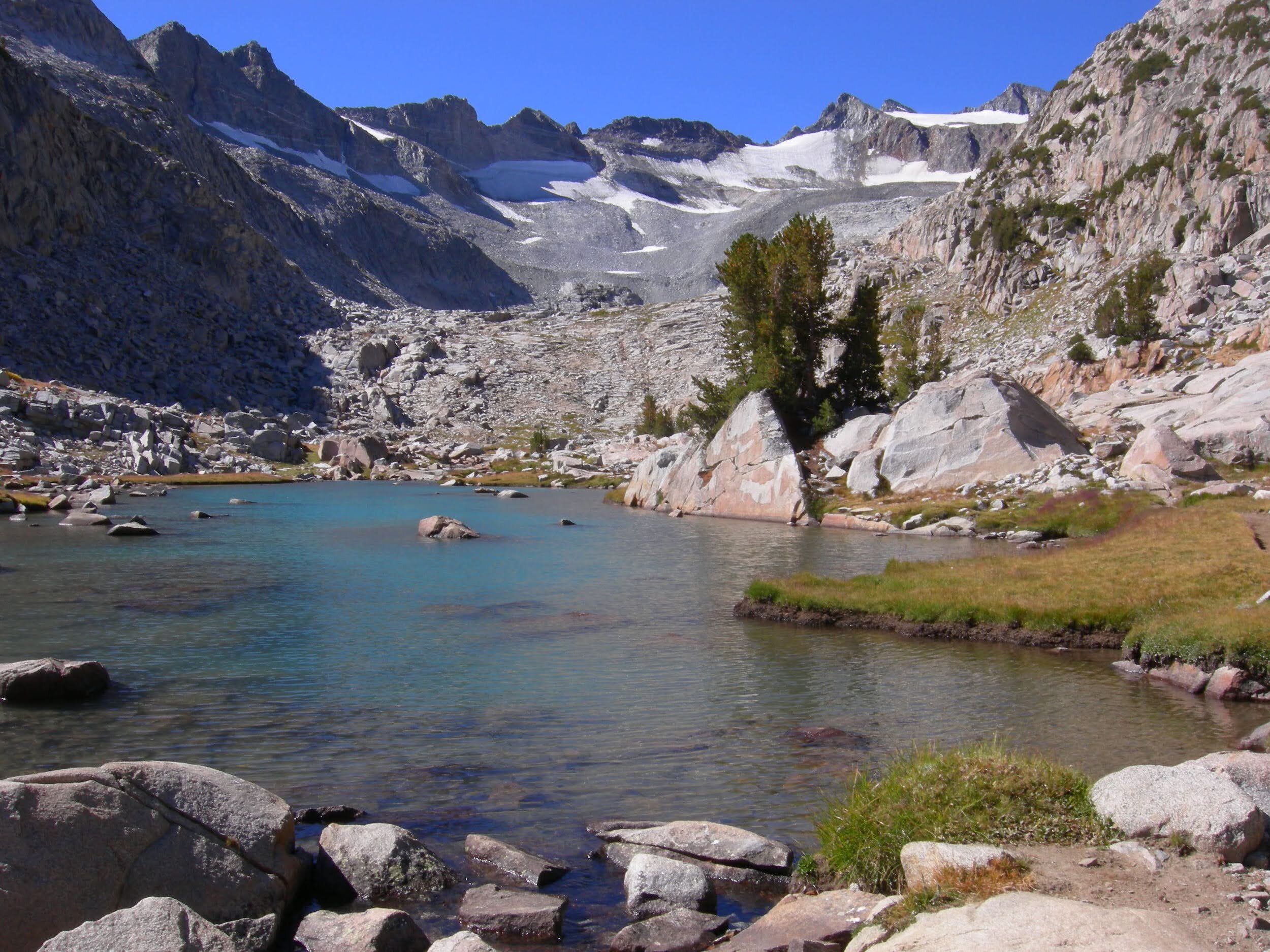
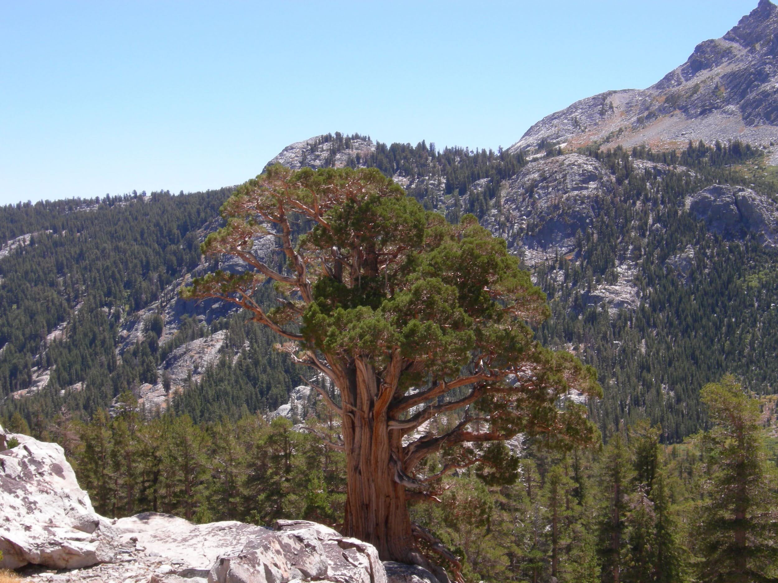
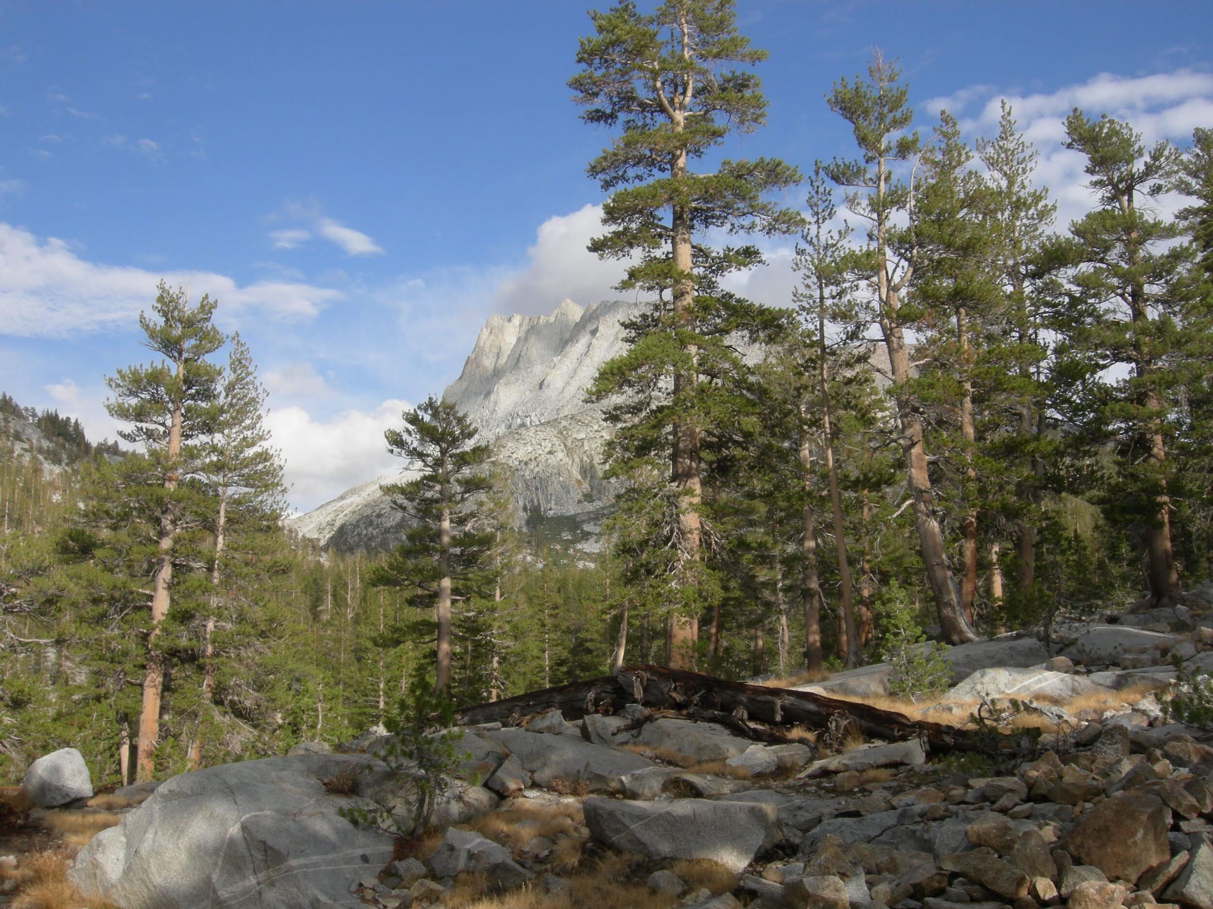
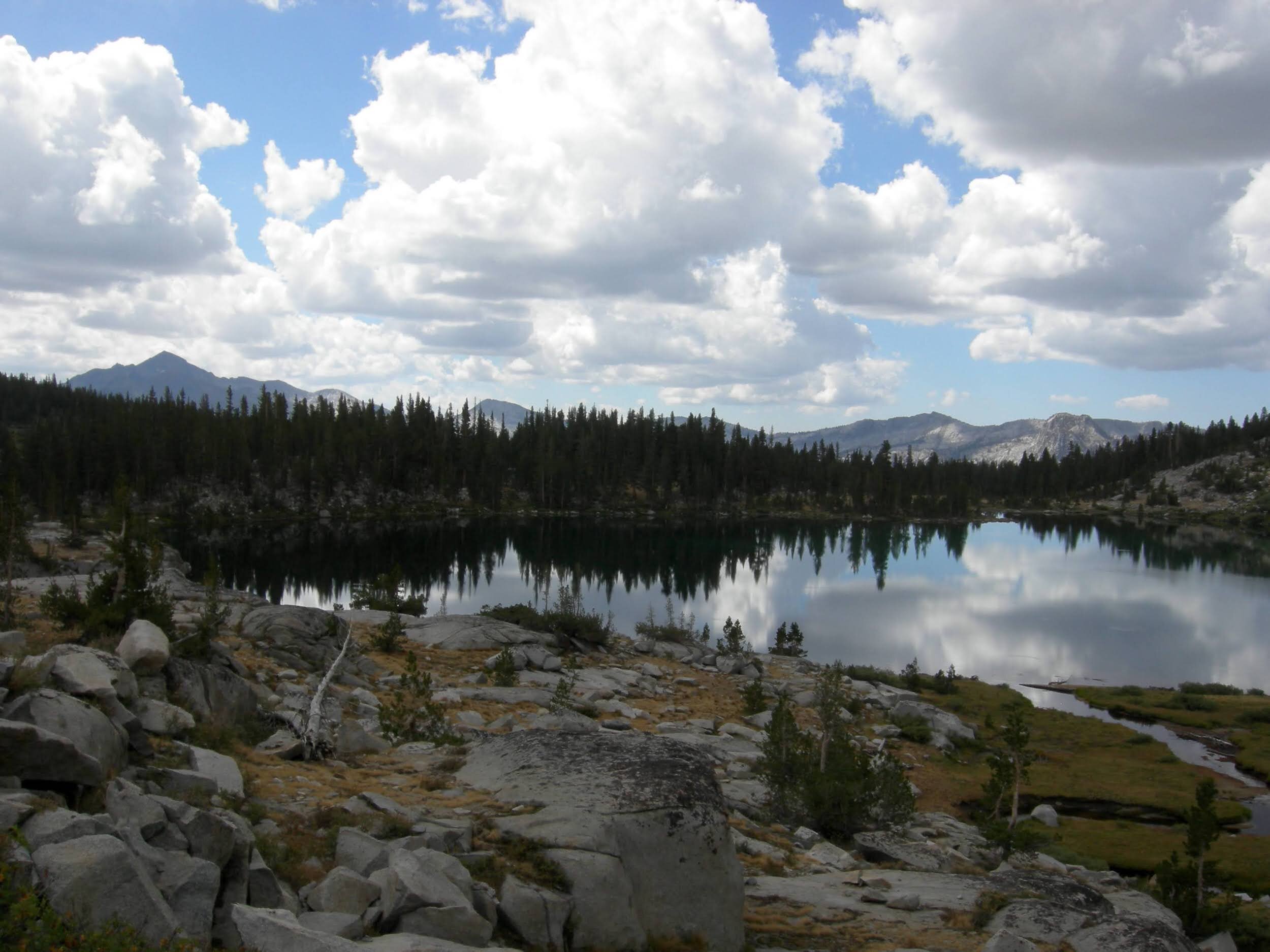
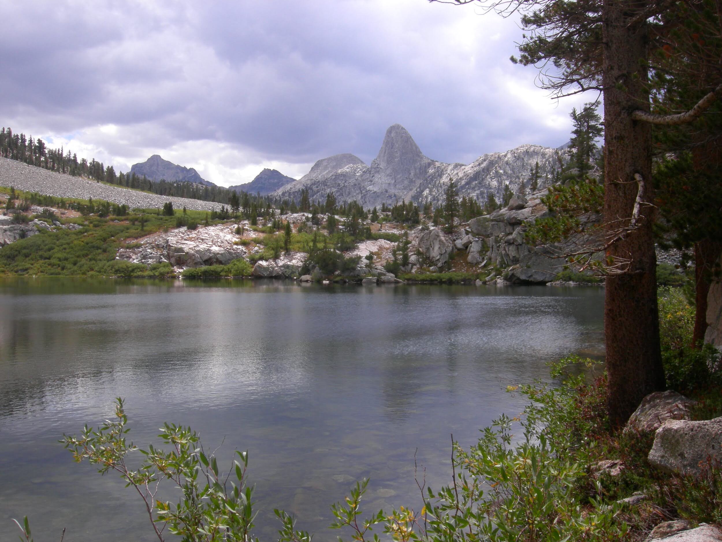
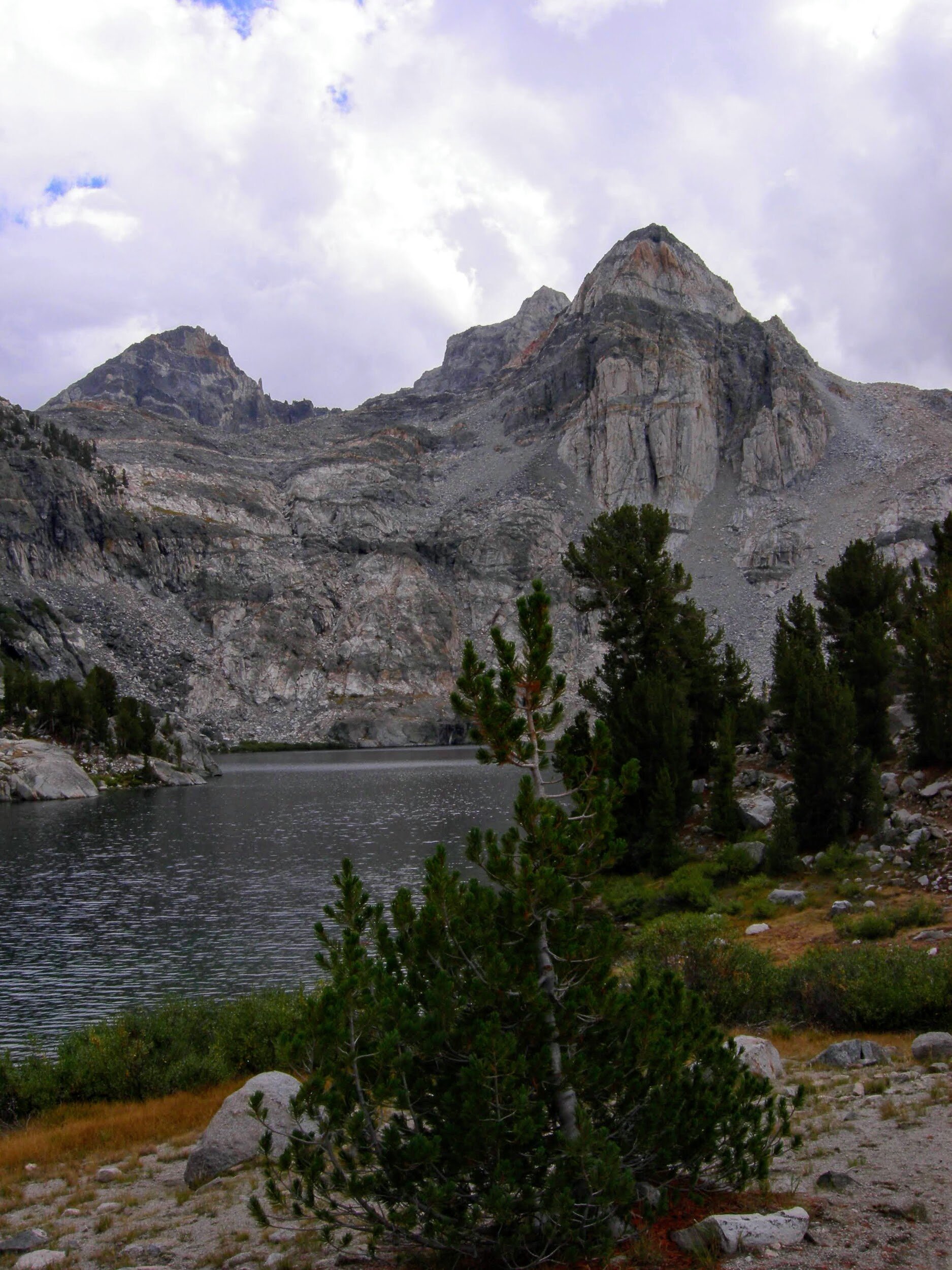
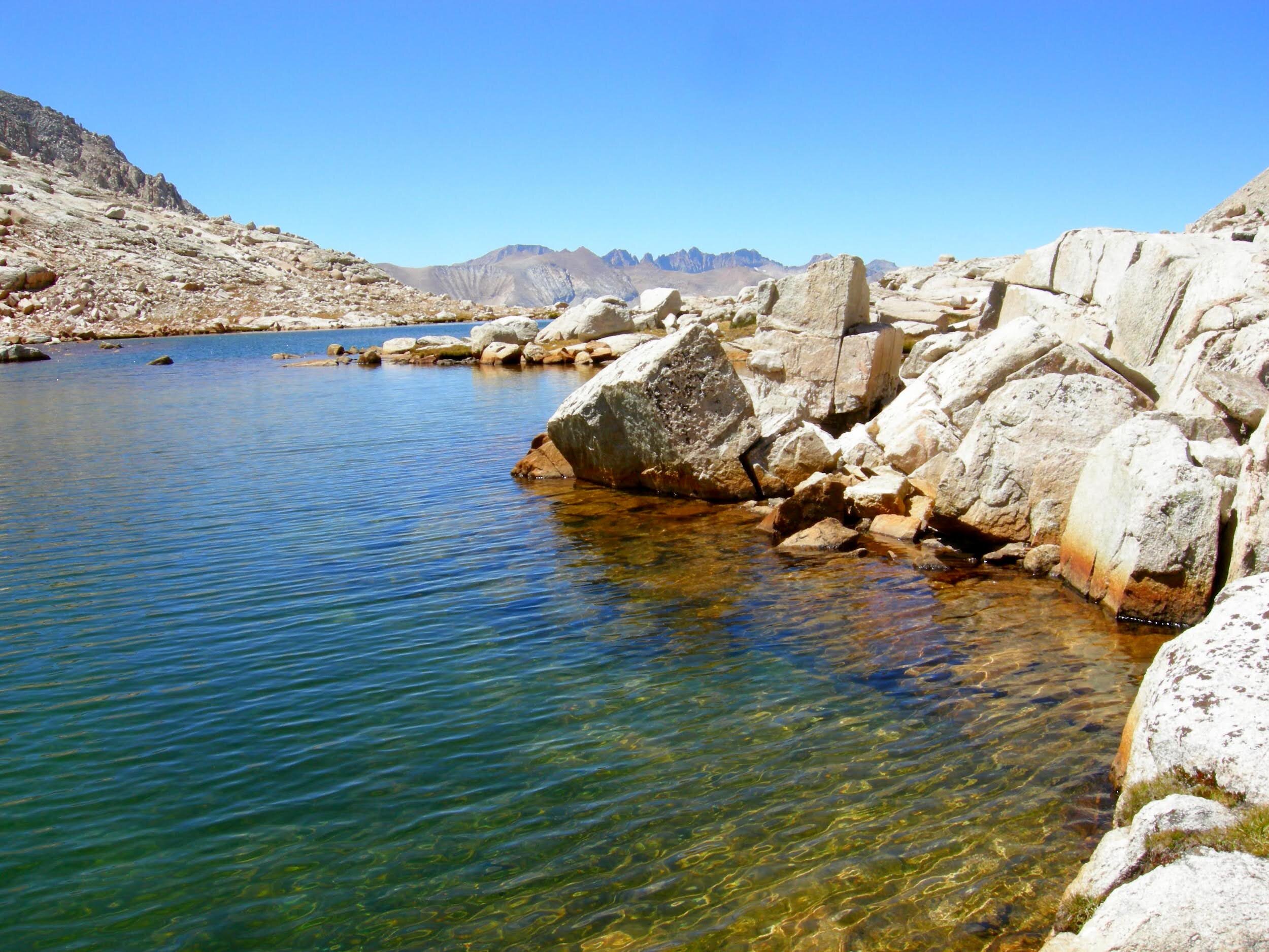
The bear didn’t get any of our food/toiletries, but we don’t want it either, now that it is mangled to shreds and has bear saliva in it. Fortunately it was just tea, a few snacks, and sunscreen in the Ursack. But we’ve learned our lesson as we carry the unusable stuff with us to the next resupply point. Only canisters for us going forward! Tired today, especially with the early climb to the top of Donahue Pass, which marks our exit from Yosemite. The high alpine terrain rejuvenated us, much needed as this was our first foray above 11,000’ on the journey and all of us are a bit out of breath. A beautiful descent into Ansel Adams Wilderness followed. We passed a handful of hikers, and a trail crew. Island Pass was a bit of a slog, but much easier than Donahue. We pushed to Thousand Island Lake, arriving by late afternoon in time for an invigorating swim. We tossed out our sleeping bags on a peninsula for another night under the stars, had the lake all to ourselves. Glorious views of Banner Peak & Mt. Ritter, and so many stars. This is shaping up to be quite a trip.
Day 5, August 23, Thousand Island Lake to Minaret Creek (~14 miles).
Another bear last night, but no drama. This time it circled around our sleeping bags as we lay in the moonlight, investigated our bear canisters (stored away from our sleeping area), and wandered off without disturbing anything. Since we were all awake, we had an astronomy session finding the Summer Triangle right overhead and the Milky Way as brilliant as we’ve ever seen it. Several shooting stars made their way across the night sky. Perfect morning light on Banner Peak made it tough to pack our bags this morning, and we saw an osprey fishing too. Onward through the Ansel Adams Wilderness, though. We passed a guy fishing at Garnet Lake who had just landed a ~12” golden brown trout, and continued on past another few jewel-toned lakes. We meant to stop at Trinity Lake but overshot, then slogged onwards to Johnston Meadow. Blisters are getting worse by the day, Andrew has pretty much switched to Chaco sandals but Cheri is still in shoes and Tonya alternates by the day/hour. The raw spots on hips and shoulders aren’t getting worse, but haven’t started improving yet either. We’ve been on many backpacking trips, but none carrying this much food and it definitely feels different.

Day 6, August 24, Minaret Creek to Upper Crater Meadow (~6.5 miles)
No bears last night, slept well. We passed through Devil’s Postpile and met a few women hiking the JMT northbound - they haven’t used their tent the entire hike! On to Reds Meadows, with its store and hot/cold food. We inhaled fresh tuna melts and ice cream sandwiches. We skipped the “paid showers” of the resort, opting for the free “hot springs” showers available to hikers. Just a trickle of water came out of the showerheads mounted in little dark stalls in an outbuilding, but someone had left slivers of bar soap and the water was warm and we all agreed it was bliss. Overall we considered Reds a pretty sweet stop, though it was also kind of weird to see “civilization” for the first time in a week. We ran into a family from LA, all kitted from head to toe in crisp new “bug-off” outdoor clothing that looked to be right off the racks at REI. Unclear if they would do any hiking, or perhaps just wore it to visit the “resort”. Coming out of Reds, we walked through the area burned by the Rainbow Fire, still sooty and dusty though some wildflowers are starting to come back. He had great views of the Minarets, Mt. Ritter, and Banner Peak. Upper Crater Meadow has a wonderful stream running right through it, a fine place to sleep for the night.
Day 7, August 25, Upper Crater Meadow to Lake Virginia (~12.8 miles)
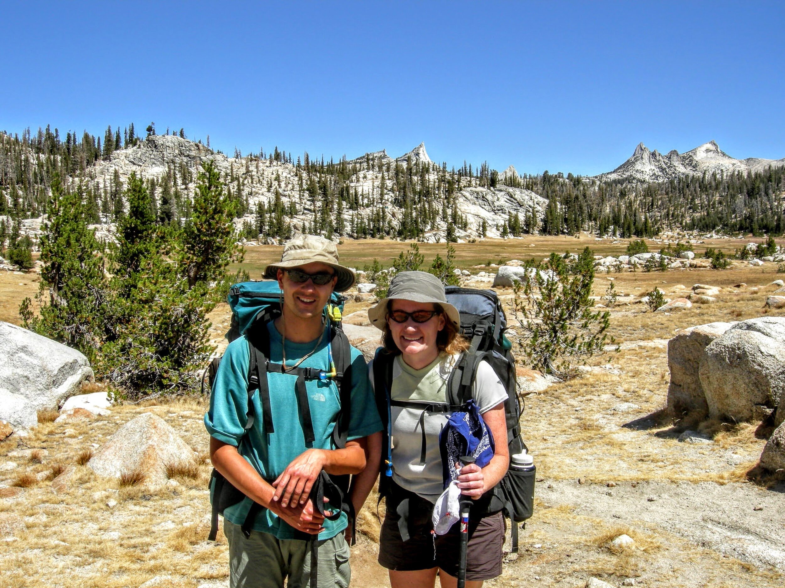
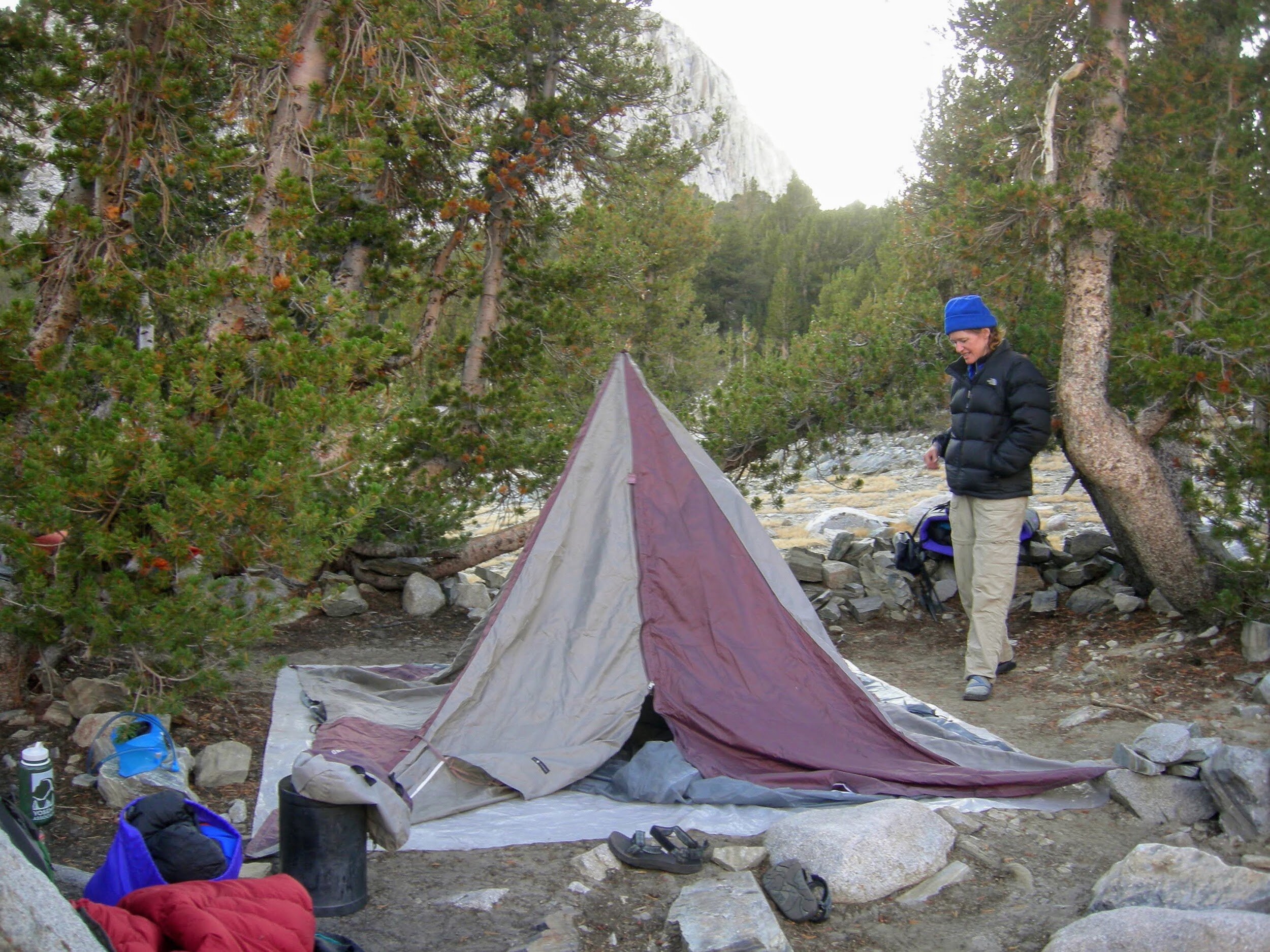
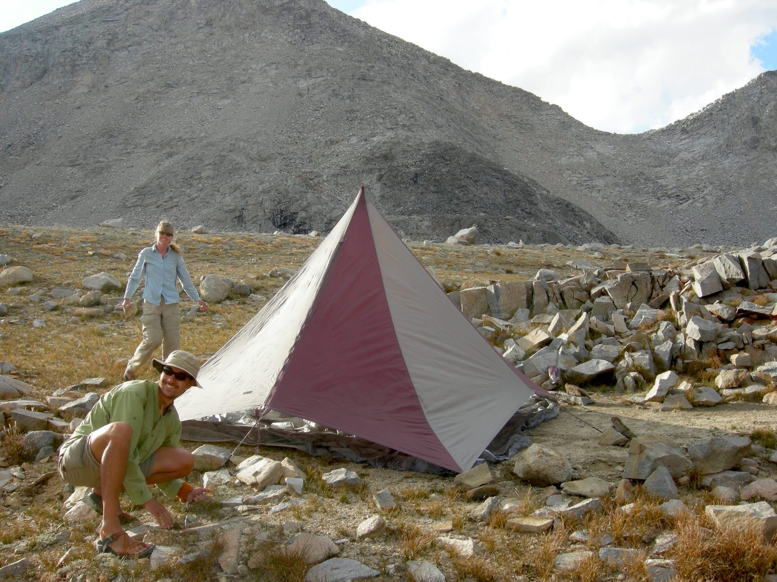
Red-tailed hawks this morning in the meadow. We met a handful of southbound JMT hikers on the trail this morning, and a trio of guys from Sacramento who are PCT section hikers. Lunch at Duck Creek, then continued up to Purple Lake (why is it named that?). From there we went past a rock glacier - so cool! - then on to Lake Virginia. It’s pretty spectacular here, ringed by high mountains with a sweet sandy shore for swimming. Perfect for evening alpenglow, and a great contrast to the moon. We’ll put up the tent tonight as it’s a bit chilly. We’ve carried Tonya’s Black Diamond MegaMid (“the mid”), a shelter that boasts plenty of room for relatively low weight. On the other hand, it uses 2 hiking poles bound together as the center support and requires every corner to be staked out. This is our first experience with a non-self-supporting tent, and we have to admit we aren’t impressed with the amount of work/effort it requires.
Day 8, August 26, Lake Virginia to Pocket Meadow (~10.2 miles)
After a week of sleeping under the stars, it was weird to wake up in a tent this morning, wet and clammy with condensation from the night. Turns out it clouded up overnight so we probably would have been fine outside anyway. Oh, well. We dropped down to Tully Hole (again, why is it named that? We saw no hole.), walked along Fish Creek, and started climbing up to Silver Pass. We passed several turquoise & deep blue lakes along the way, a brilliant contrast against the surrounding granite. We stopped for lunch at Squaw Lake and enjoyed the scenic mountain cirque. From the pass itself we had a view of the Minarets, Mt. Ritter, and Banner Peak under stormy clouds. We haven’t had any rain, but the weather feels like its changing. We’re camped across from a work crew with alpacas and horses as pack stock, guess we’ll hear bells tonight but don’t have to worry about bears. Our packs are getting light, and the blisters are improving.
Day 9, August 27, Pocket Meadow to Rosemarie Meadow (~14.1 miles)
We continued our descent to the Vermillion Valley Resort turnoff at the end of Lake Thomas Edison, then started the long climb up and over the ridge with the Vermillion Cliffs behind us. As we started our descent to Bear Creek the sky clouded up and by the time we reached the crossing we got our first rain of the trip along with a short pounding of hail. We chatted with some other hikers, who told us that the storm is the remnant of a large Atlantic hurricane. We thought of sheltering from the weather a bit but decided to continue up to Rosemarie Meadow, finding a pleasant spot to set up camp among some boulders. The rain tapered off by dinner time and the clouds cleared enough for us to see the total lunar eclipse around 3am.
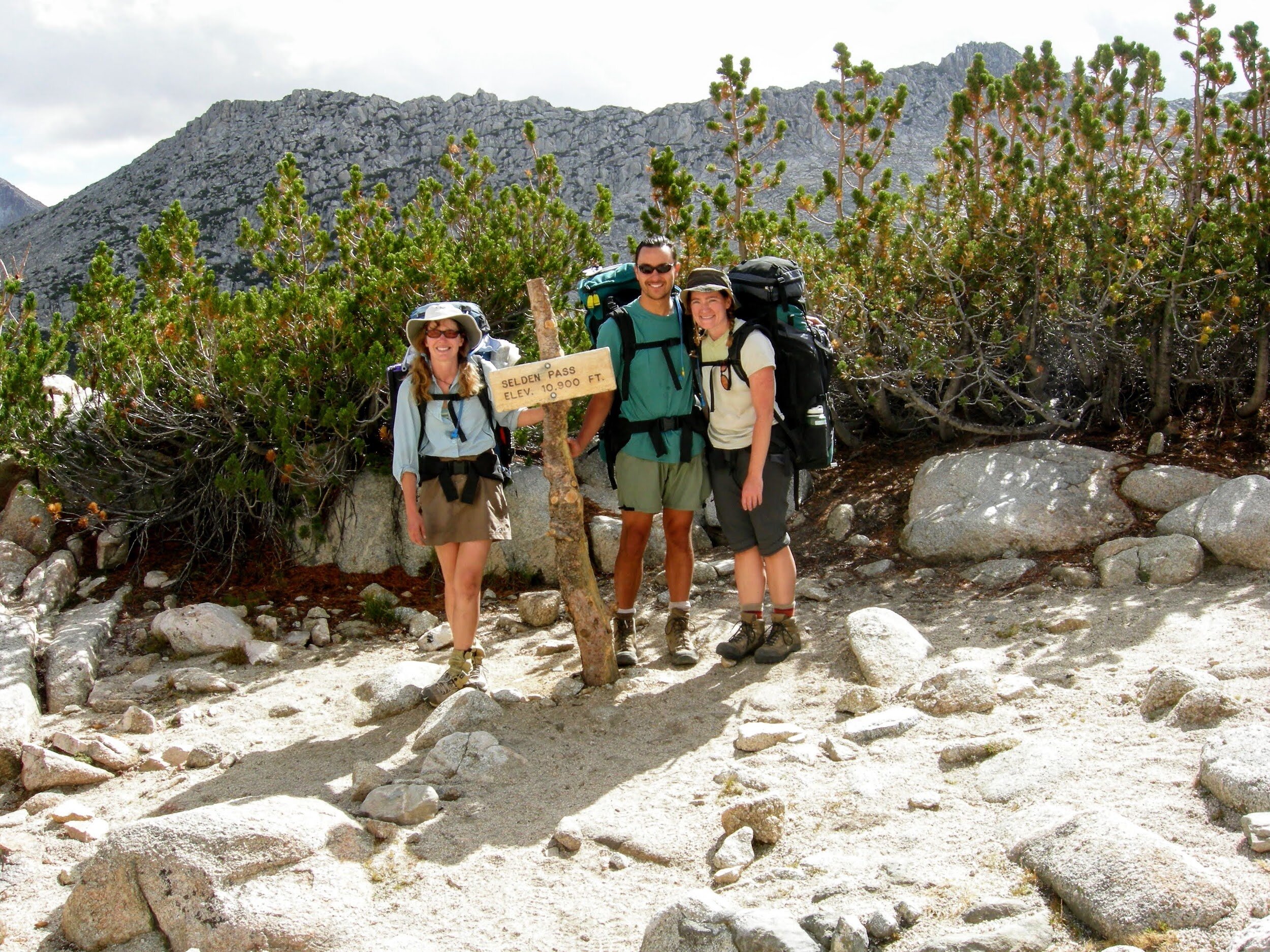
Day 10, August 28, Rosemarie Meadow to Piute Creek Crossing (11.7 miles)
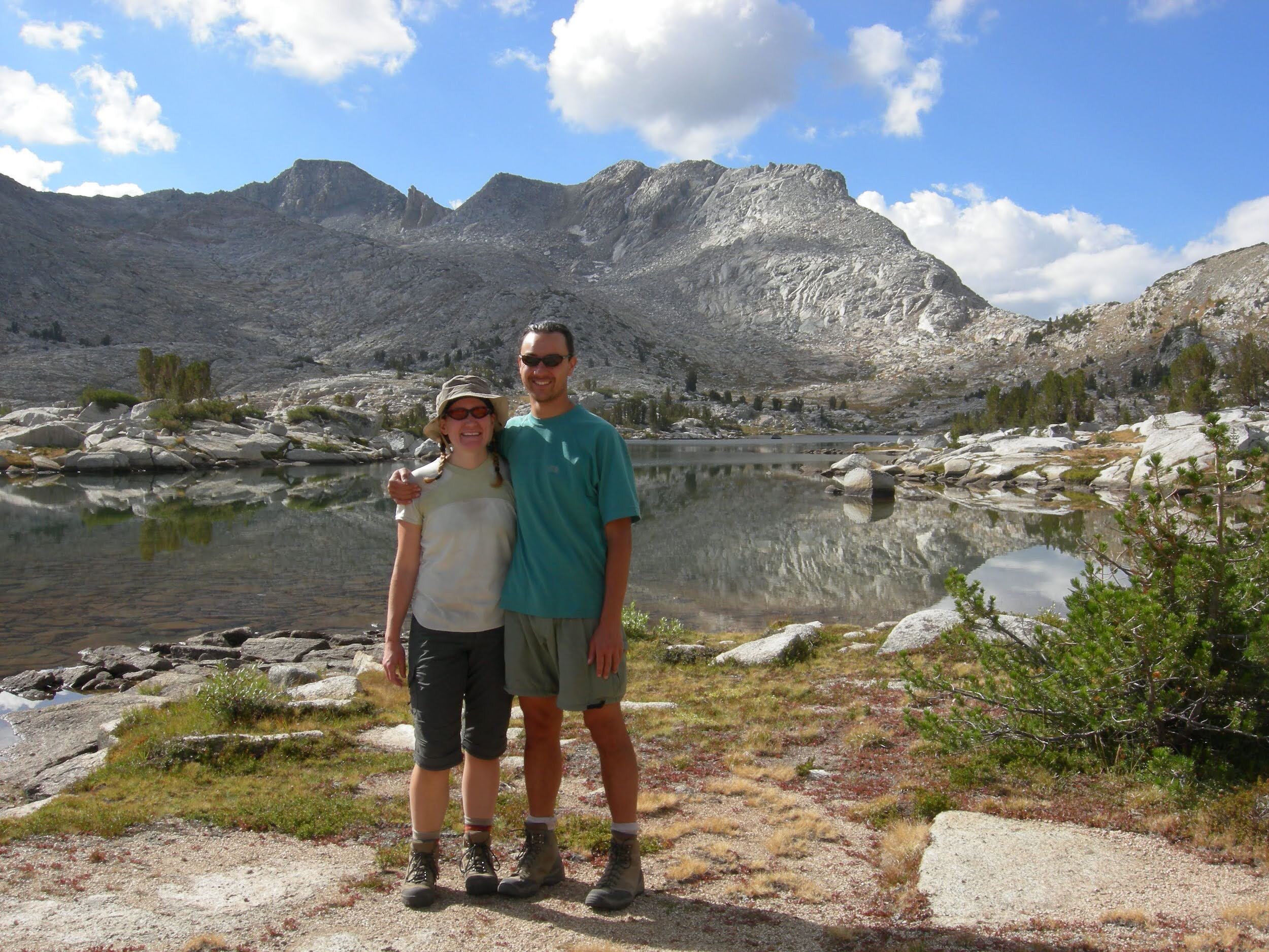
After yesterday’s weather it was nice to wake up to a nearly cloudless sky. We made the short climb to Selden Pass, the 5th mountain pass of the trail, then descended past Heart Lake and Sallie Keyes Lakes on the far side. Our good weather didn’t last long. The sky darkened by early afternoon and we made it to Muir Trail Ranch just as the sky opened up to pound us with rain and hail. The staff at the ranch were far from accommodating. When asked if we could use a restroom, they asked what we did on the trail and suggested we keep that practice up. I guess they want us to squat right in their yard? The only shelter for hikers was a market-style canopy with no sides and that’s where we sorted the food from our re-supply while trying to stay dry-ish and warm-ish in the howling storm. They did have our resupply bucket, and sold us some fuel, so we shouldn’t complain. One guy we met from Sacramento arrived with his email confirmation in hand yet they said they couldn’t locate his resupply bucket (they require that packages are sent in 5-gallon buckets). Initially they tried to get him to leave and said if it hadn’t shown up by the end of the season they’d send him a refund. After much protesting, they finally let him into the shed where they kept buckets for hikers that were >1 month overdue, and allowed him to search through those buckets for enough food to keep him going. He found some good stuff (freeze-dried meals, salami, snickers), but SO MUCH CANDY - it’s not surprising many of those hikers never made it to the halfway point if they packed their resupply full of Swedish Fish & Skittles. Some people camp near the hot springs, but all we wanted to do was get back on trail so once the rain lightened up a bit we hit the trail with our newly HEAVY packs and continued on to Piute Creek, marking our entry into Kings Canyon NP.

Day 11, August 29, Piute Creek Crossing to McClure Meadow (~7.3 miles)
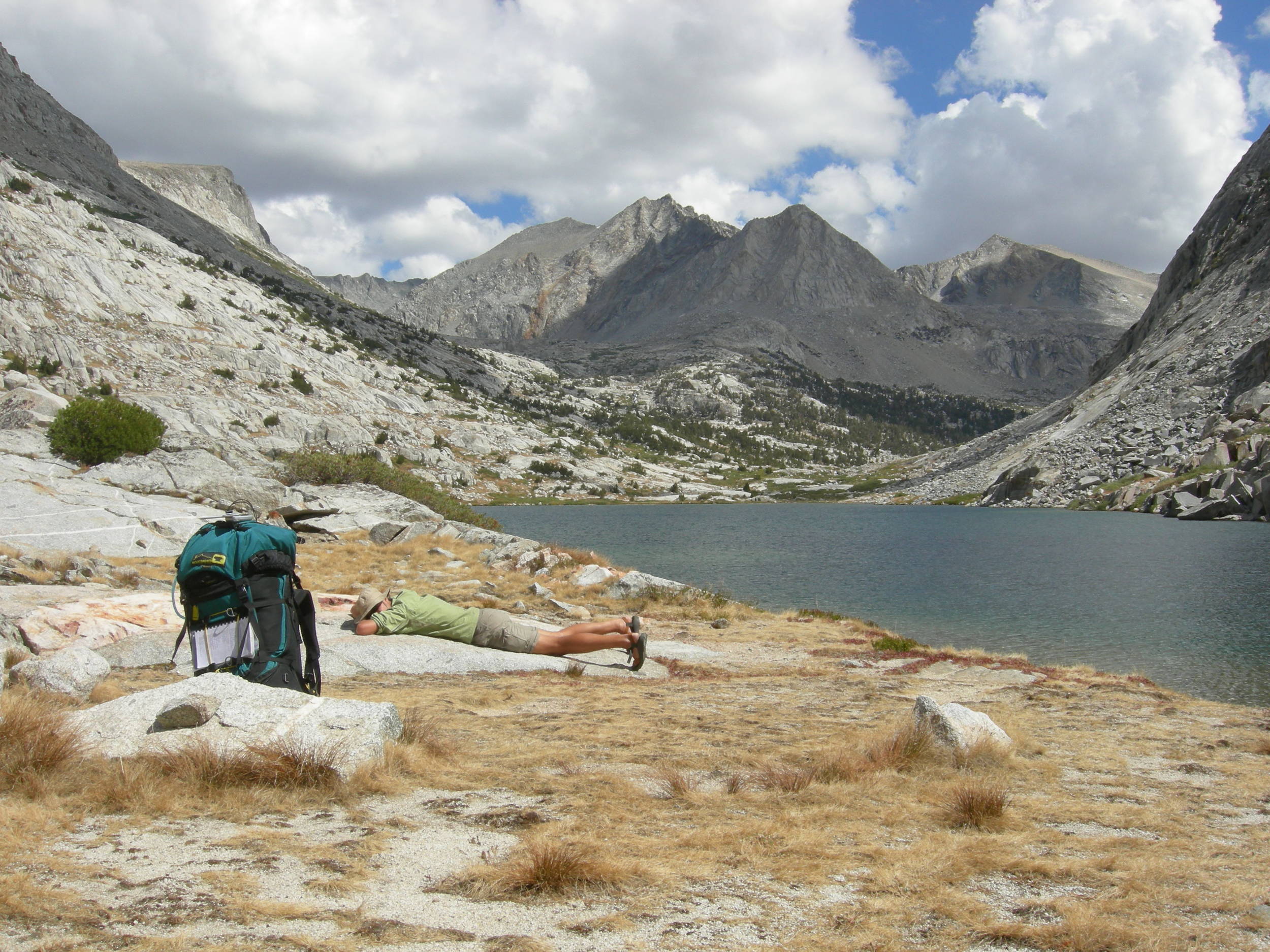
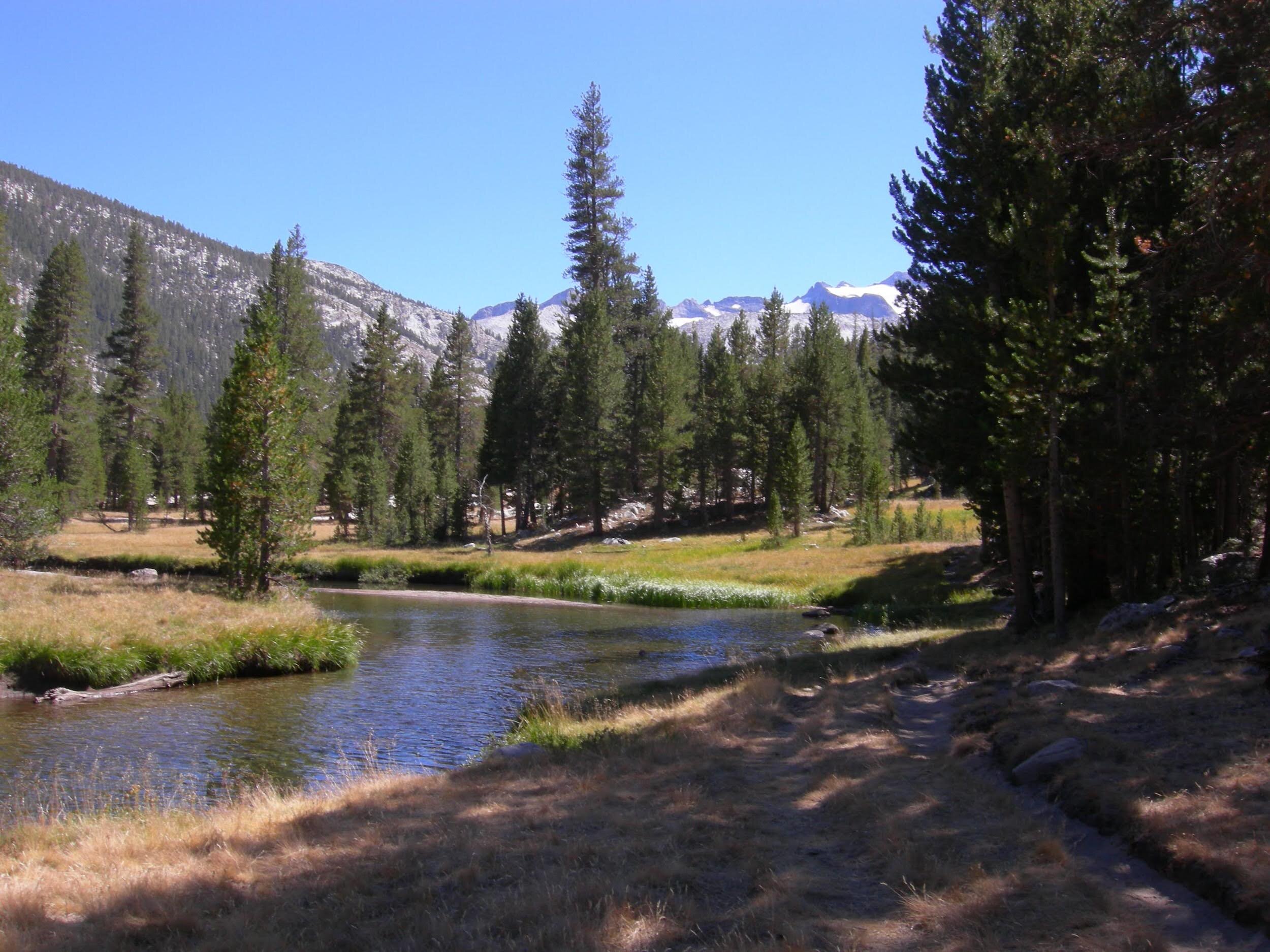
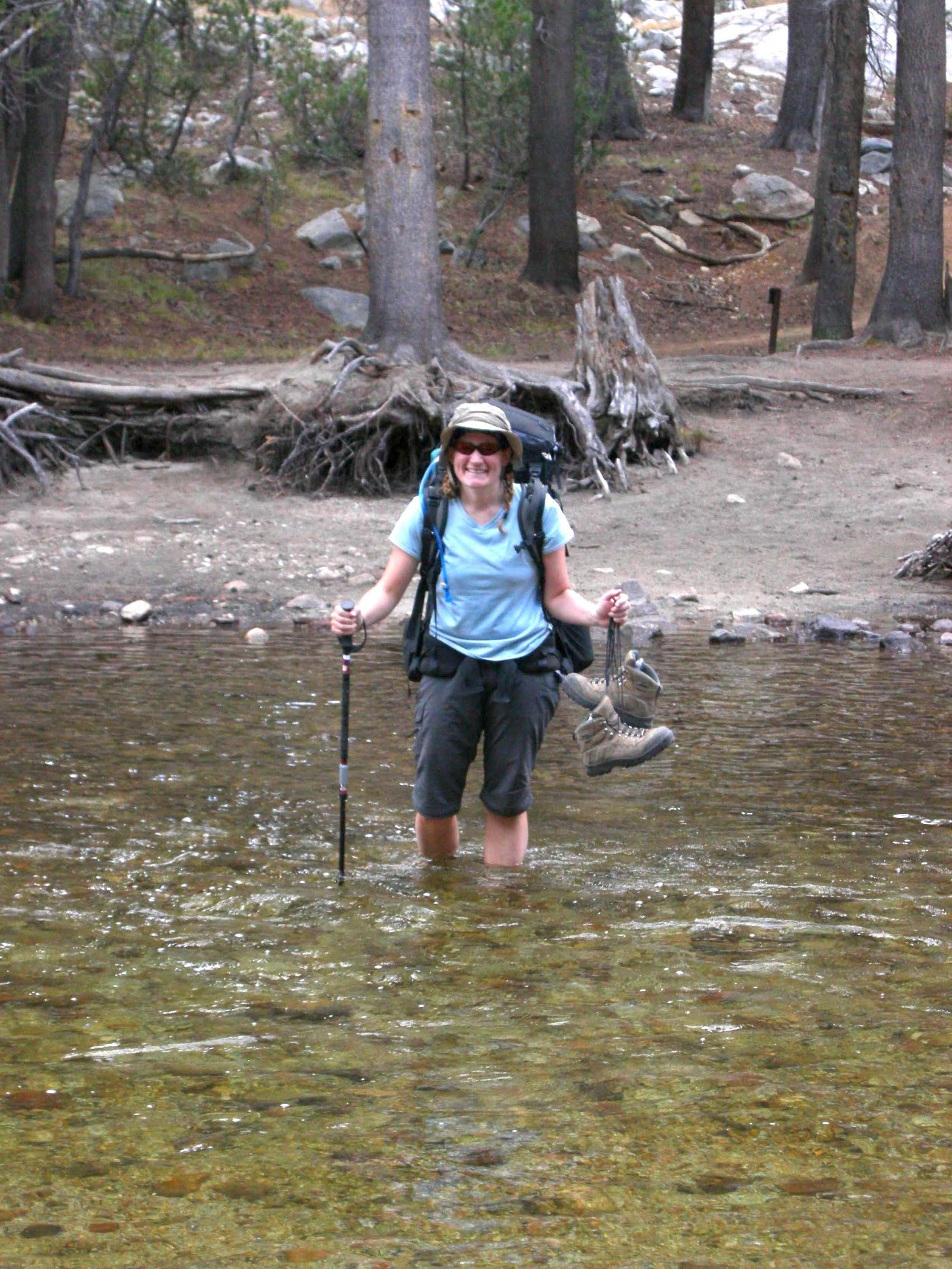
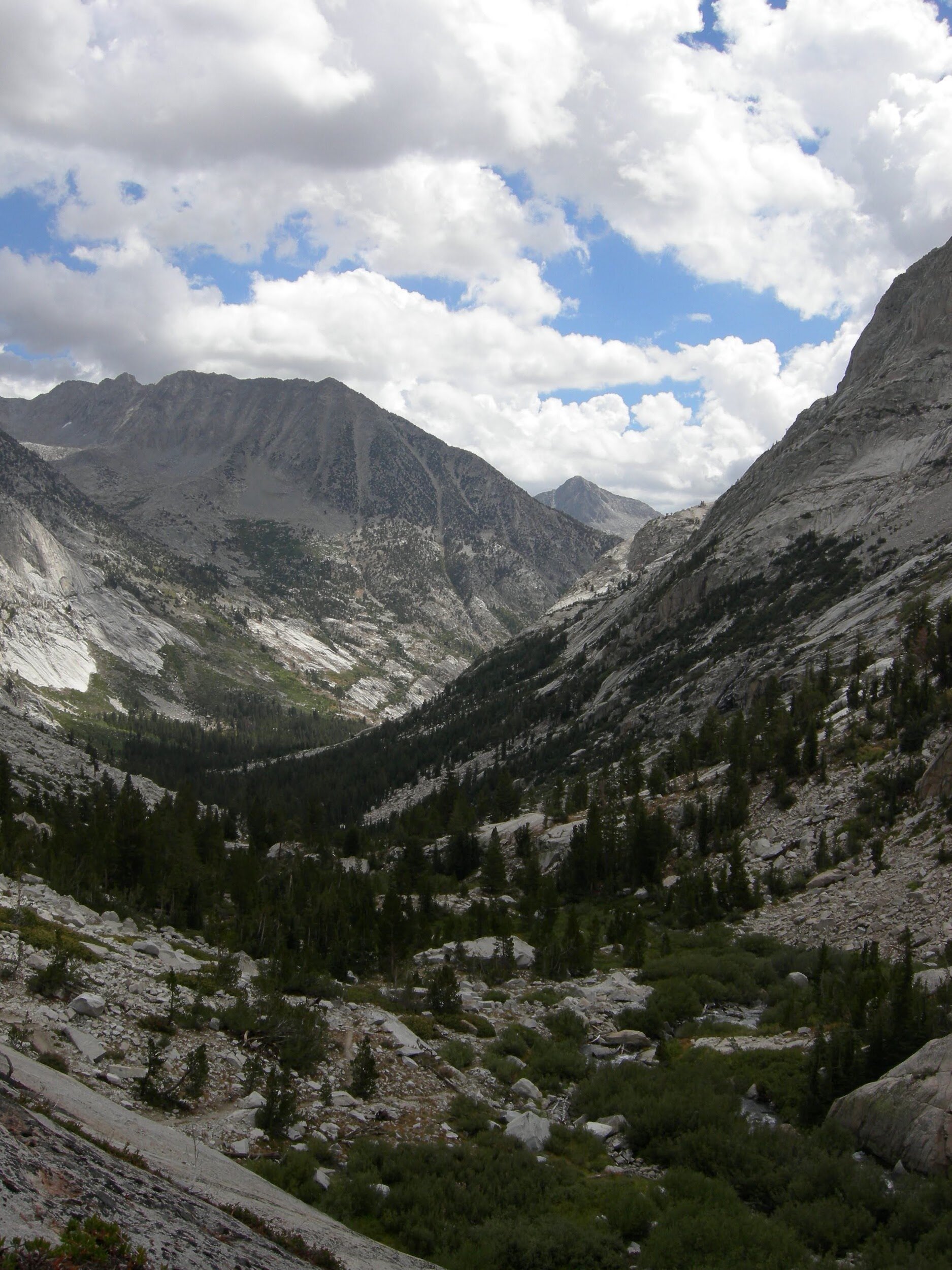
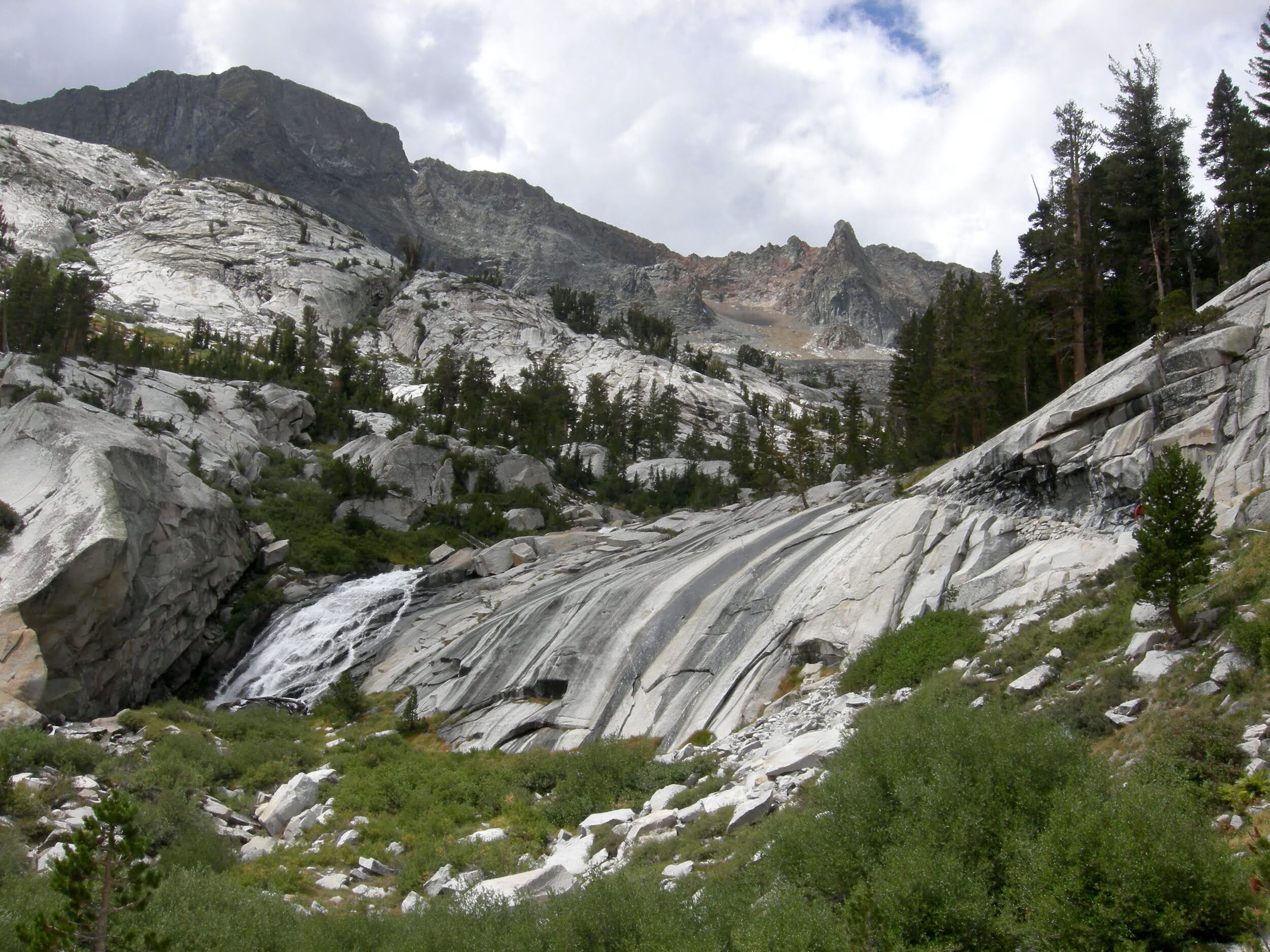
After the drama of yesterday, we took an easy day today. Last night was super windy, and we again had more food than would fit in our canisters. It was hard to sleep between the howling wind and wondering if a bear would attack our Ursack again. No bears, and this morning the sky was clear. So nice to walk in the warm sun along the clear green San Joaquin River. Crazy that this wild mountain river becomes the big lazy waterway that supplies much of California’s central valley agriculture. We ran into one southbound JMT hiker that we knew but the trail was pretty empty today. Seems like the storm may have changed some plans. It’s quite a climb from the river up into Evolution Basin, though after the initial dry switchbacks the trail runs right next to a nice cascade. The weather remains unsettled and we had sprinklings of rain and hail scattered with sunshine on our ascent. We forded Evolution Creek without difficulty, and enjoyed the spectacular views across the valley. We are halfway done, and felt deserving of a short day so we set up camp by mid-afternoon and all went for a swim.
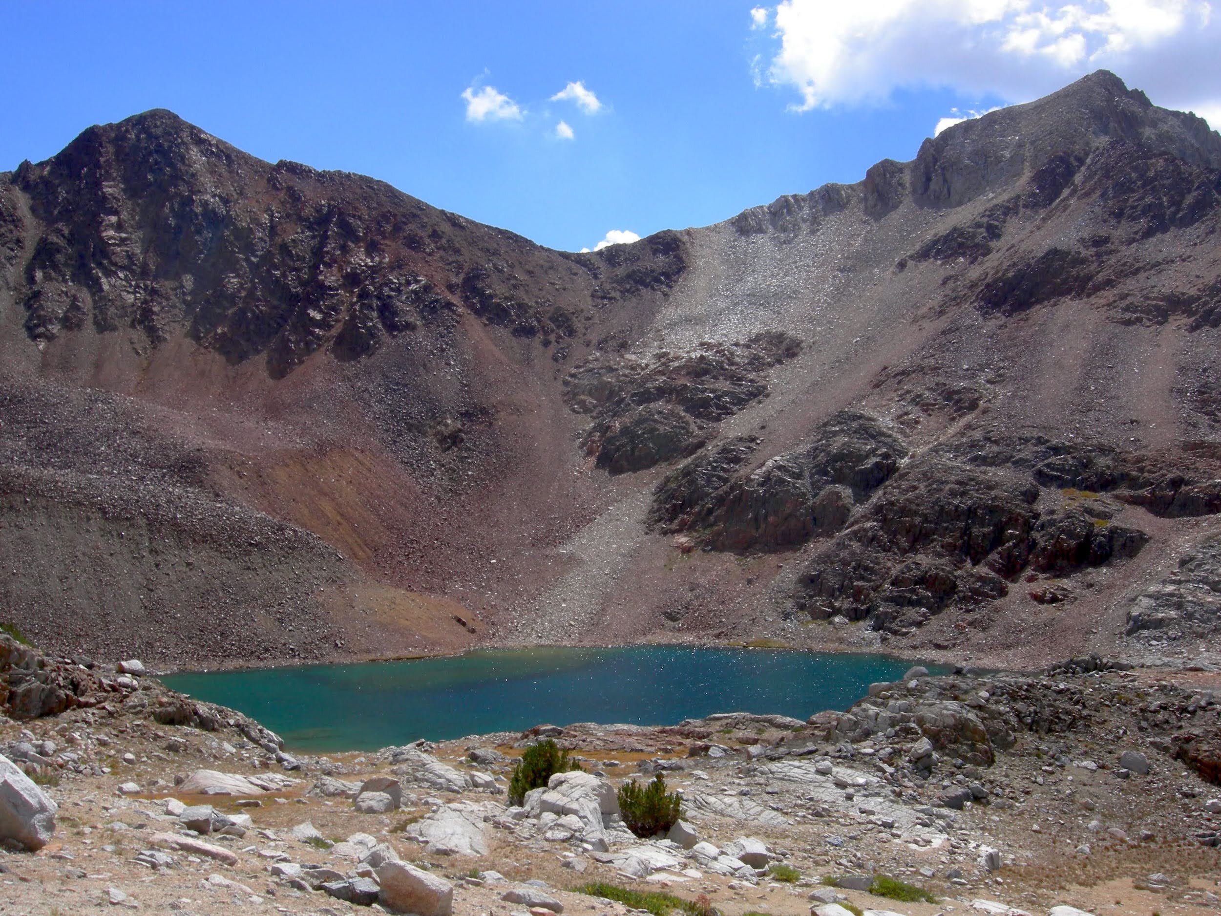
Day 12, August 30, McClure Meadow to Sapphire Lake (~3 miles)
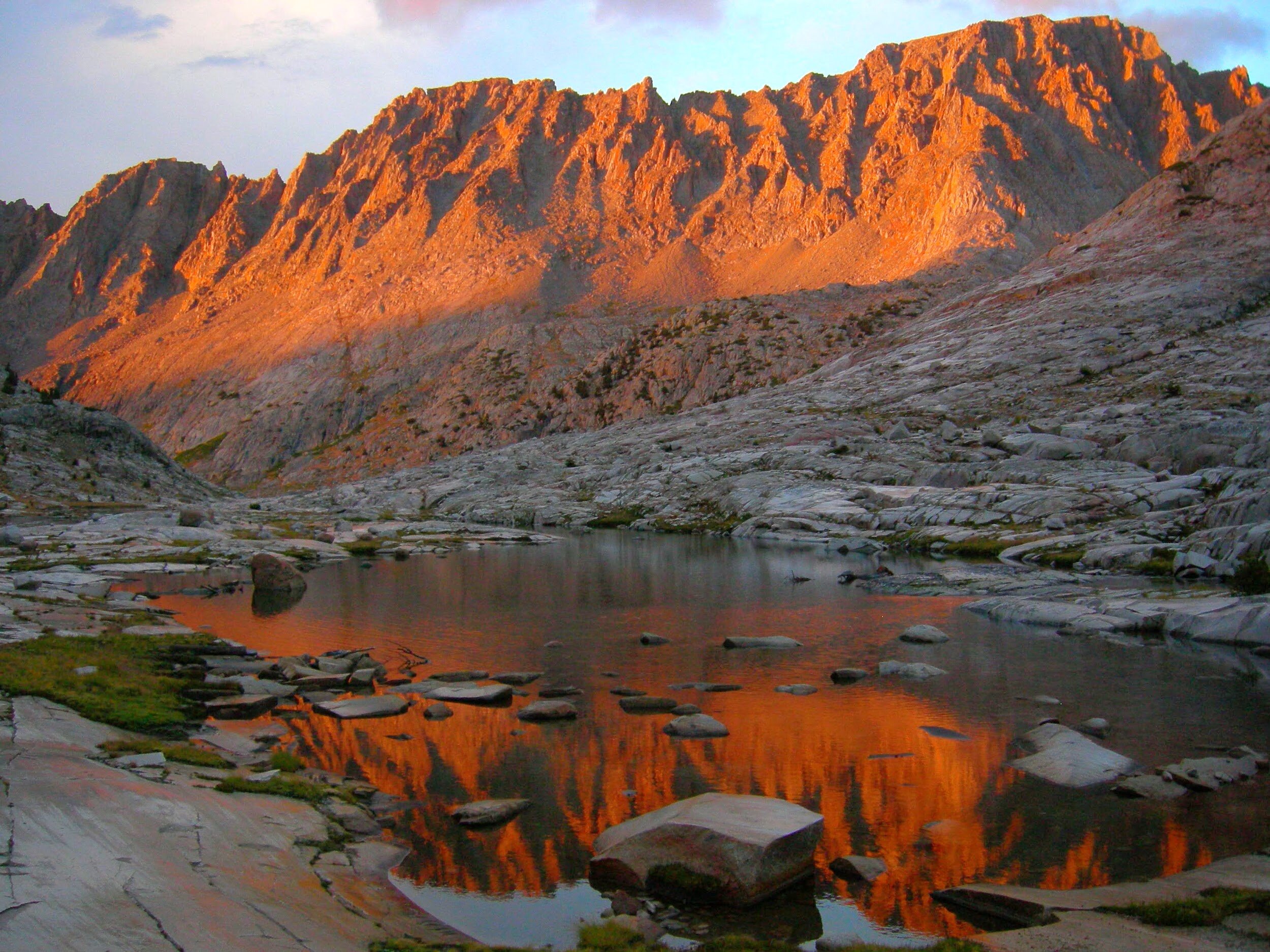
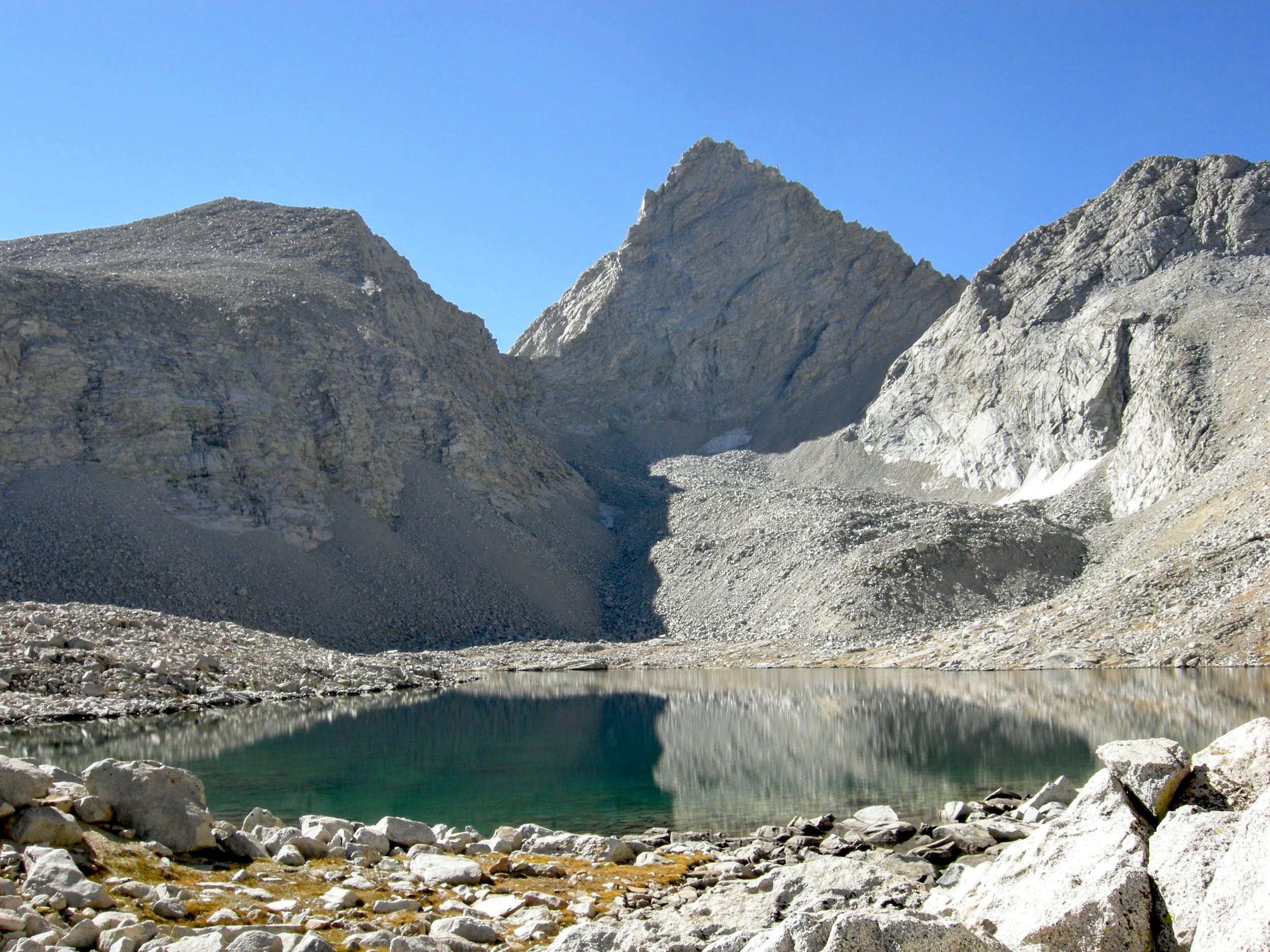
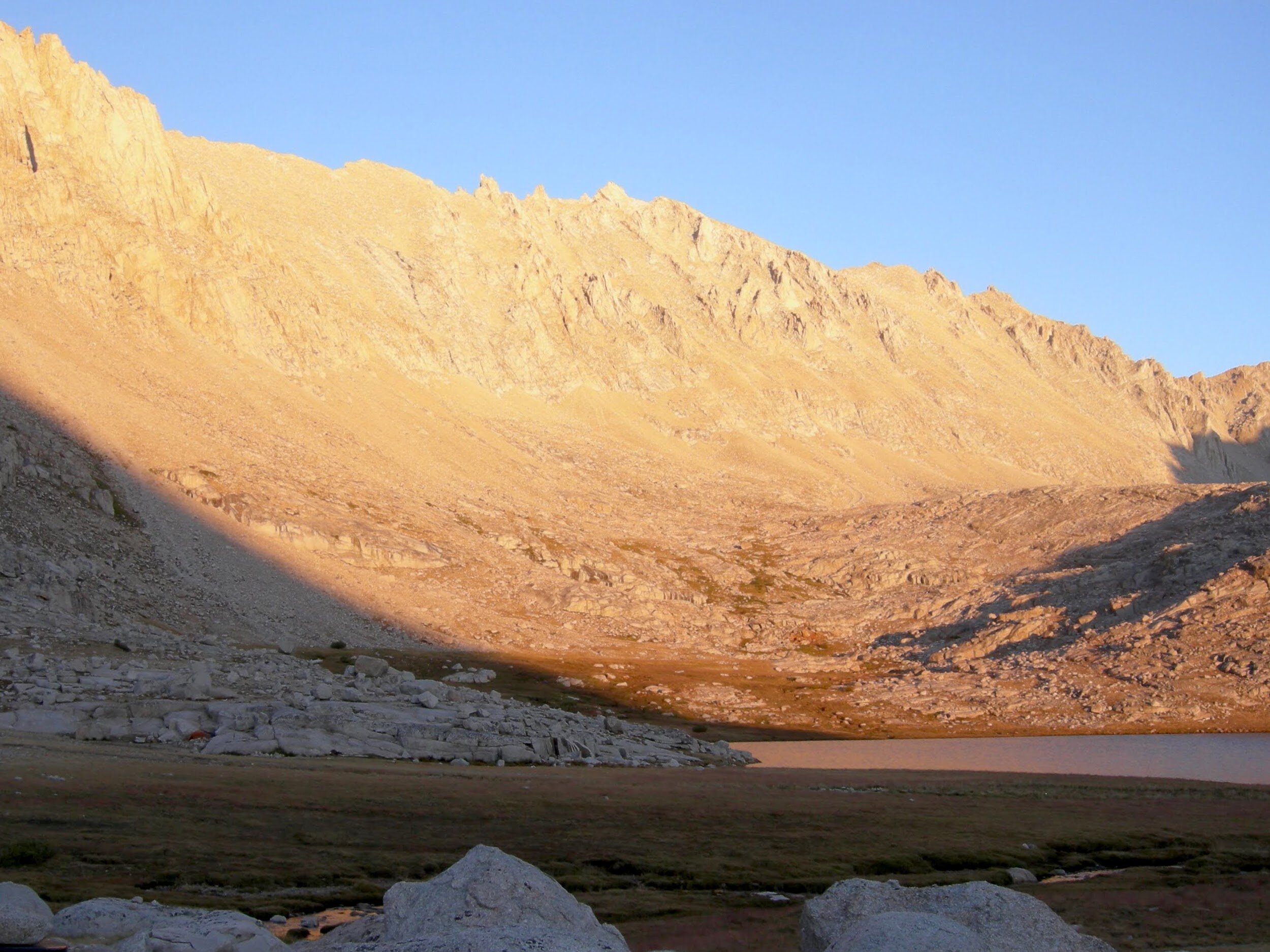
We woke to rain and thunder on the walls of our tent this morning. Looking out into Evolution Basin from our tent flaps the sky was red on the horizon, with dark grey walls of clouds over the mountains. More hurricane remnants? We decided to stay where it was dry & warm-ish, and spent the entire morning playing cards in the tent while the storm howled outside. We finally got a break in the storm by early afternoon and decided to pack up and head up the trail. We don’t have enough food or time to spend several days waiting out a storm, and it seemed like it might be passing. We passed Evolution Lake in cold mist and damp rain. Our rain gear couldn’t protect us from the damp chill so we had to keep moving to stay warm. We met several hikers who were planning to push for Bishop Pass and bail on their JMT hike due to this weather. We pushed on to Sapphire Lake to make camp, not far from a Frenchman in a tiny solo tent. By then the rain was back and we set up our own tent in a downpour. We are now above treeline, and we wondered if we’d made a mistake as the thunder and lightning crashed around us. Plenty of dice were played, and we held down the corners of the tent against the wind. We started to discuss whether we might consider bailing on our trip, and what it would take to do so. There are no easy exit points and we decided that for now we’d continue. The storm let up around 7:30pm, just in time for some brilliant alpenglow on the surrounding peaks.


Day 13, August 31, Sapphire Lake to Grouse Meadow (~15 miles)
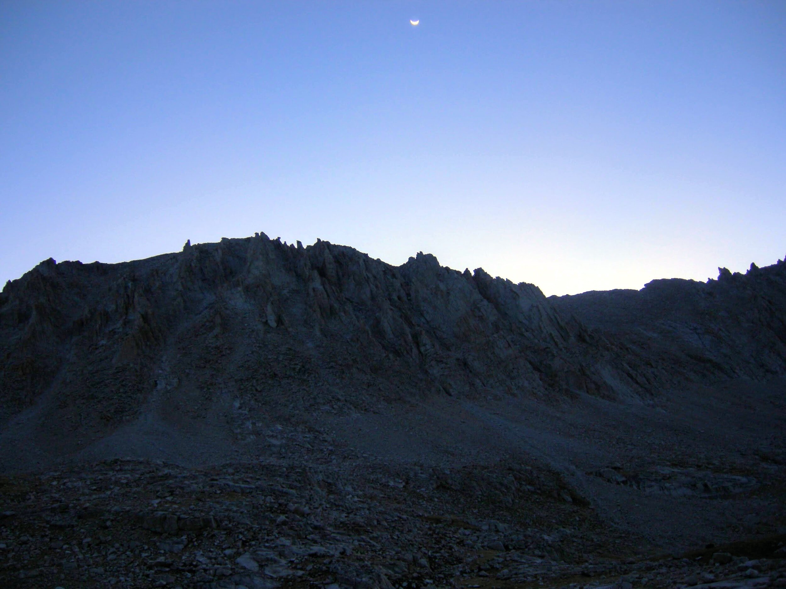
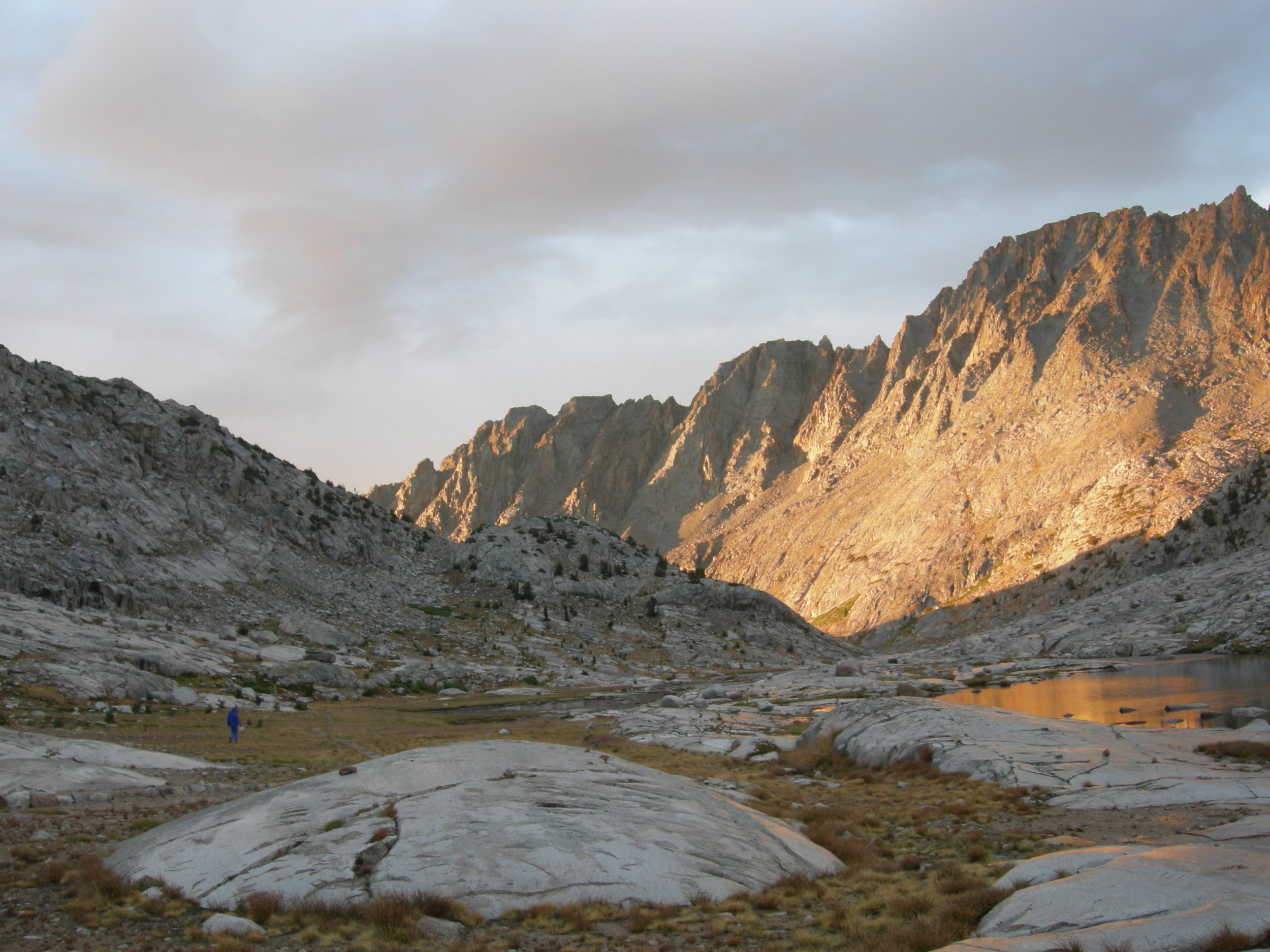
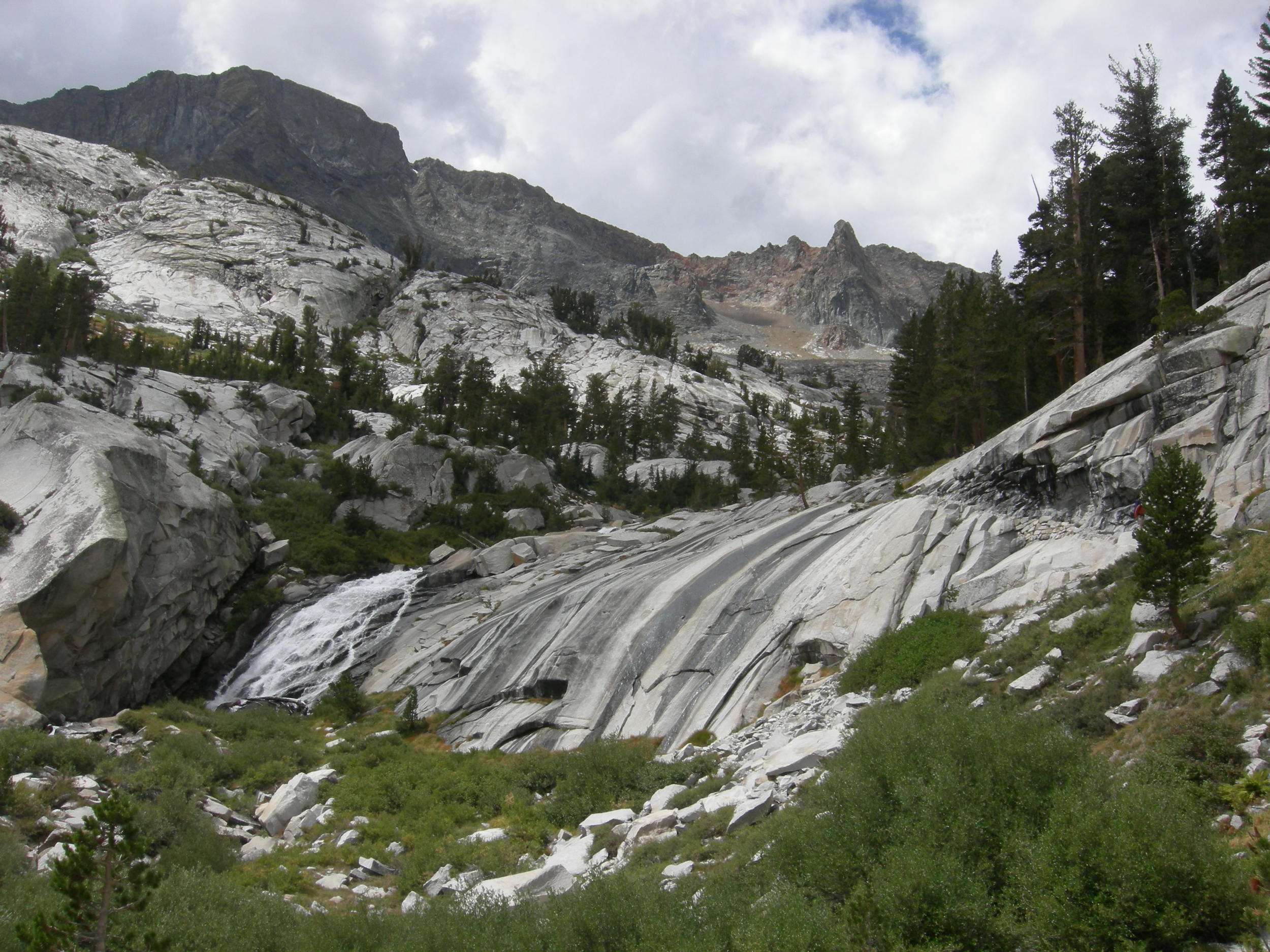
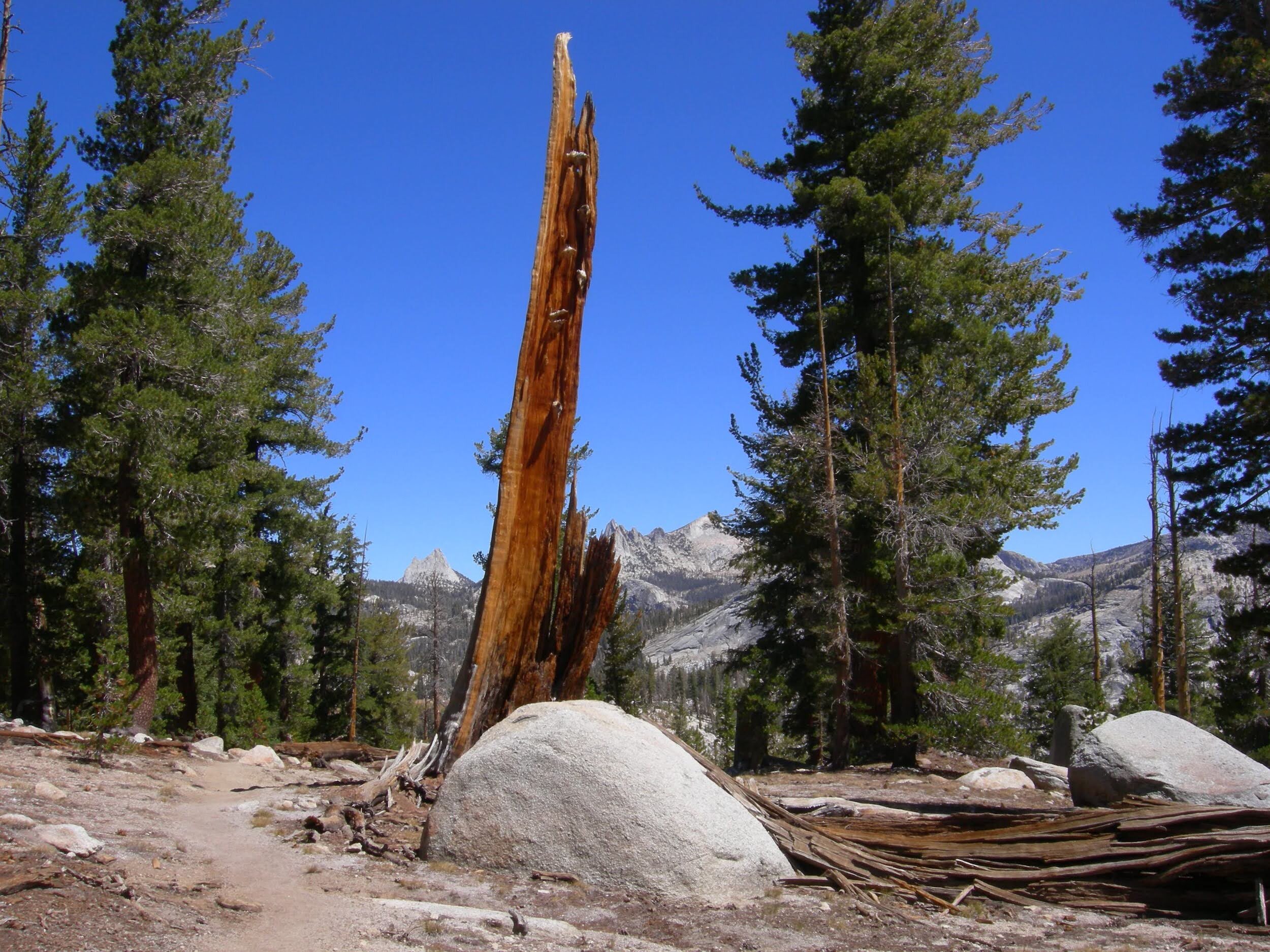
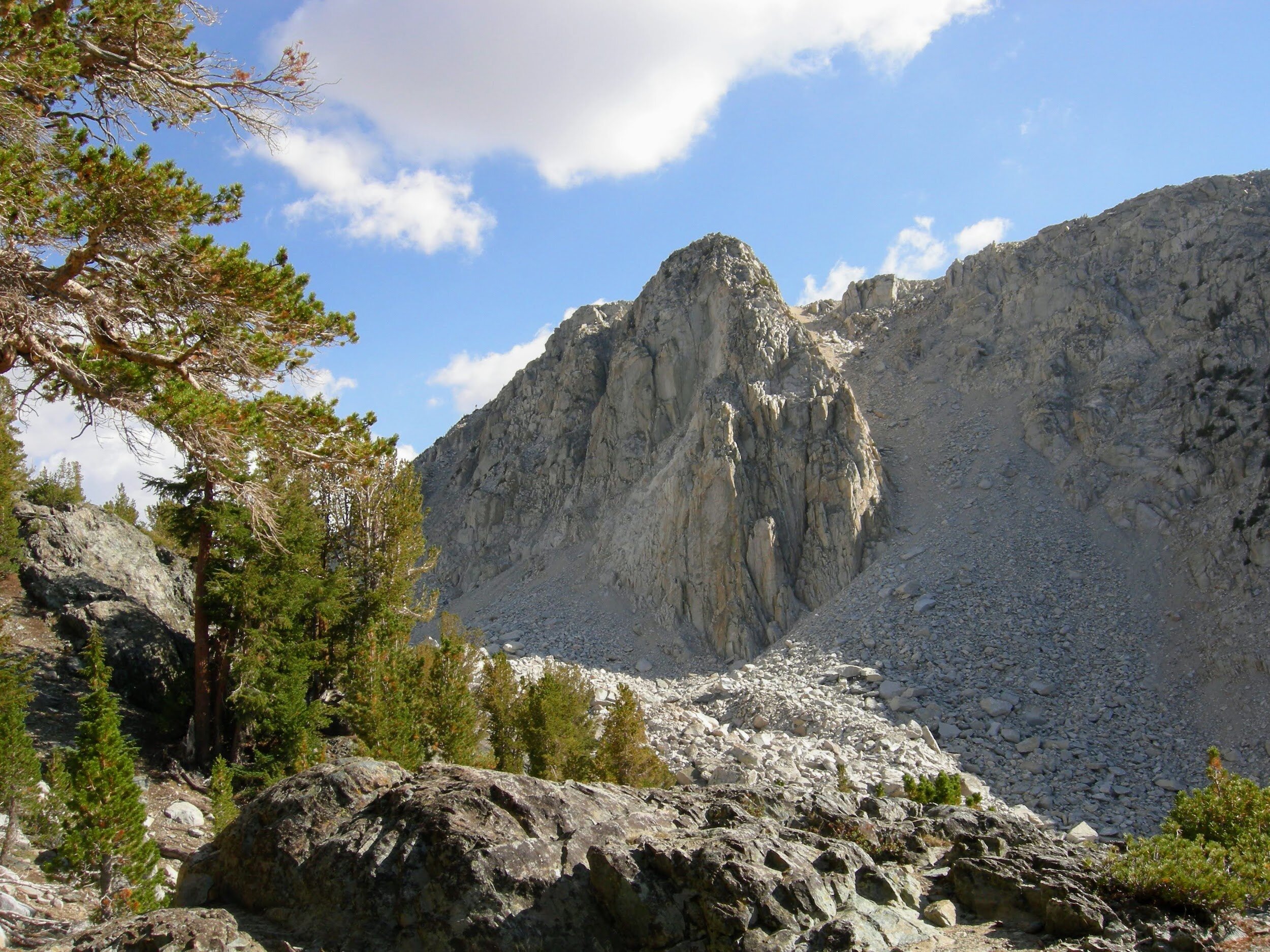
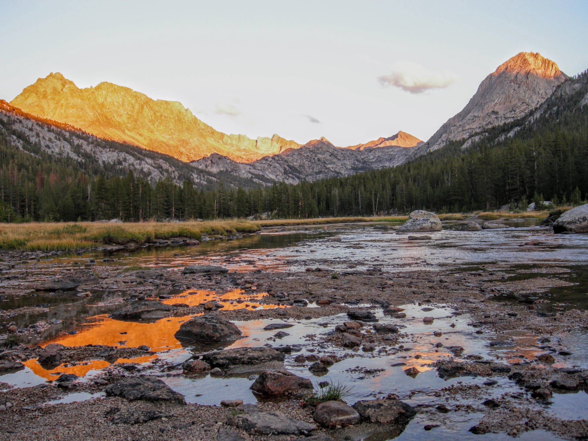
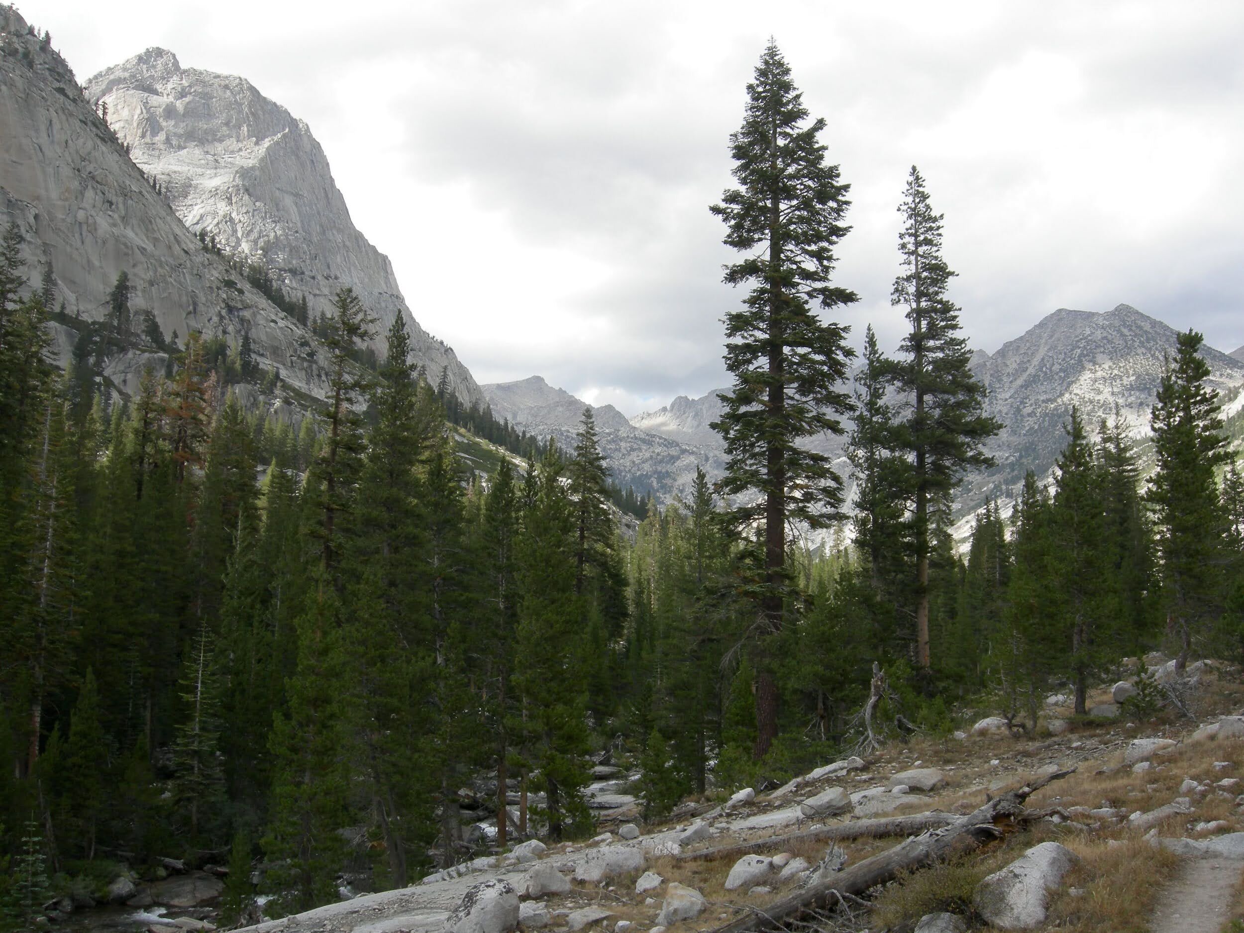
We chatted last night about Muir Pass, completely exposed and rocky. None of us wanted to be there in a lightning storm, and it seemed like the storms get worse later in the day. We set an alarm and were on-trail by 6:30am in a cold mist but no rain. We made a steady push to the pass and reached the Sierra Club shelter just in time for the sky to clear. We chatted with the Frenchman and asked how he fared in the teeny tent. He replied “It is NOT a tent, it is a funnel for rain!” Enough said. We had glorious sun for the rest of the day, seeing us down through LeConte Canyon to a little spot in Grouse Meadow that will probably be our lowest elevation for the rest of the trip. We’re exhausted by the events of the past few days and would like a little less drama from here on out.
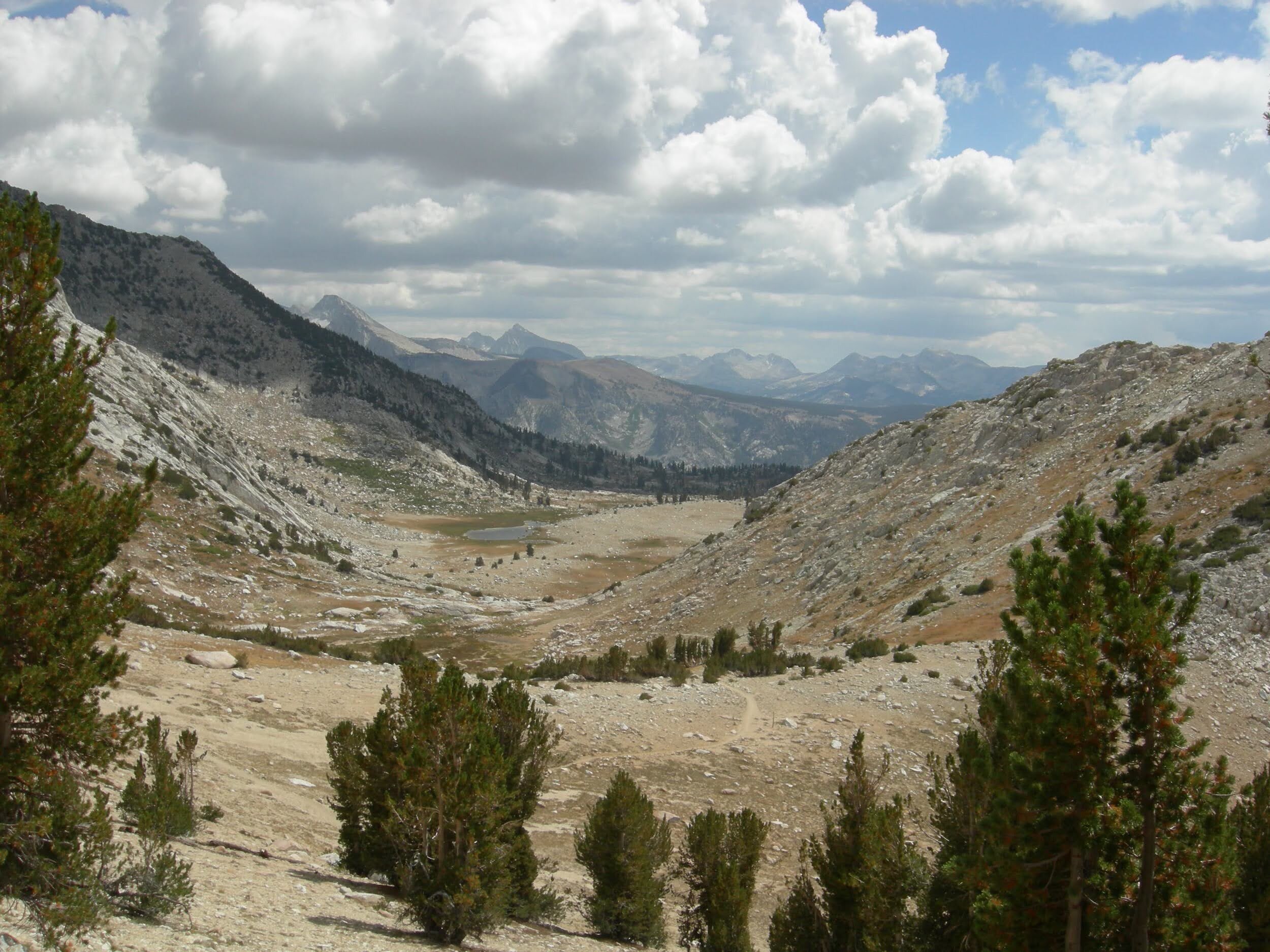
Day 14, September 1, Grouse Meadow to Upper Basin (~12.3 miles)
Today was hard, with a 4,000’ climb up and over Mather Pass. Cheri couldn’t stomach another morning of instant oatmeal for breakfast and settled on Miso soup instead. Turns out it’s a poor substitute with few calories, and she bonked on the “golden staircase” (ie interminable climb) up the pass. It was grueling for us all, and we didn’t get to the top until nearly 5pm. We managed to descend a short way into Upper Basin and found a campsite near a small tarn. Another tent night, with a brief rainshower around dinner time. We think back to those girls at Devil’s Postpile who had no rain the entire trip. It seems like days since we haven’t had rain. Let’s hope the storms are behind us now.

Day 15, September 2, Upper Basin to Woods Creek (~13.5 miles)
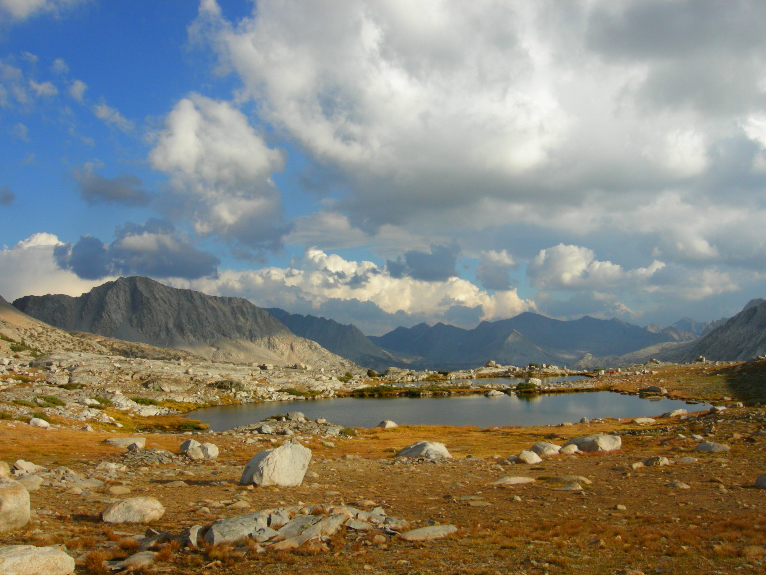
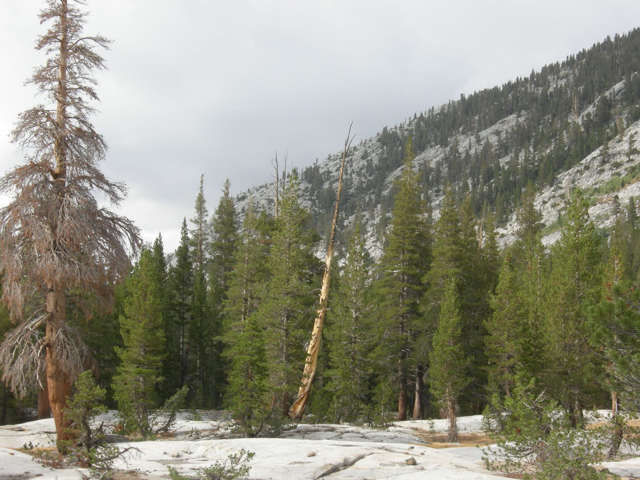
We awoke to bright sunrise in a clear sky and pink morning light on the peaks of Upper Basin. An easy descent along the Kings River brought us to Pinchot Pass. The climb is steady, but nowhere near as grueling as Mather Pass. We’ll have a mountain pass nearly every day for the remainder of the hike, so we’d best get used to it. The rocks around Pinchot Pass are different than we’ve seen, many veins of dark iron red and more shale-type rock than granite. Several tarns dot the trail on the south side of the pass but otherwise the trail is dry. We walked almost 4 miles before crossing any type of stream, though we could get water from lakes if we wanted to. The one advantage of such a dry year is that we haven’t seen a single mosquito this whole trip. It’s crazy to think we have less than a week left on-trail.
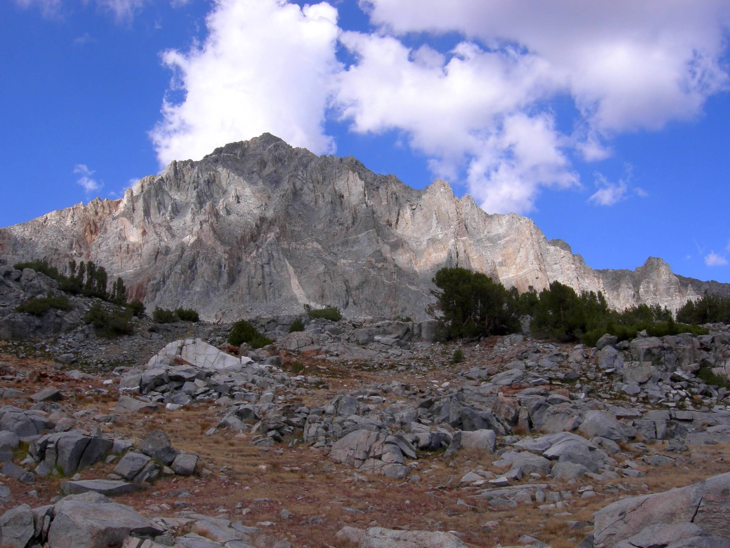
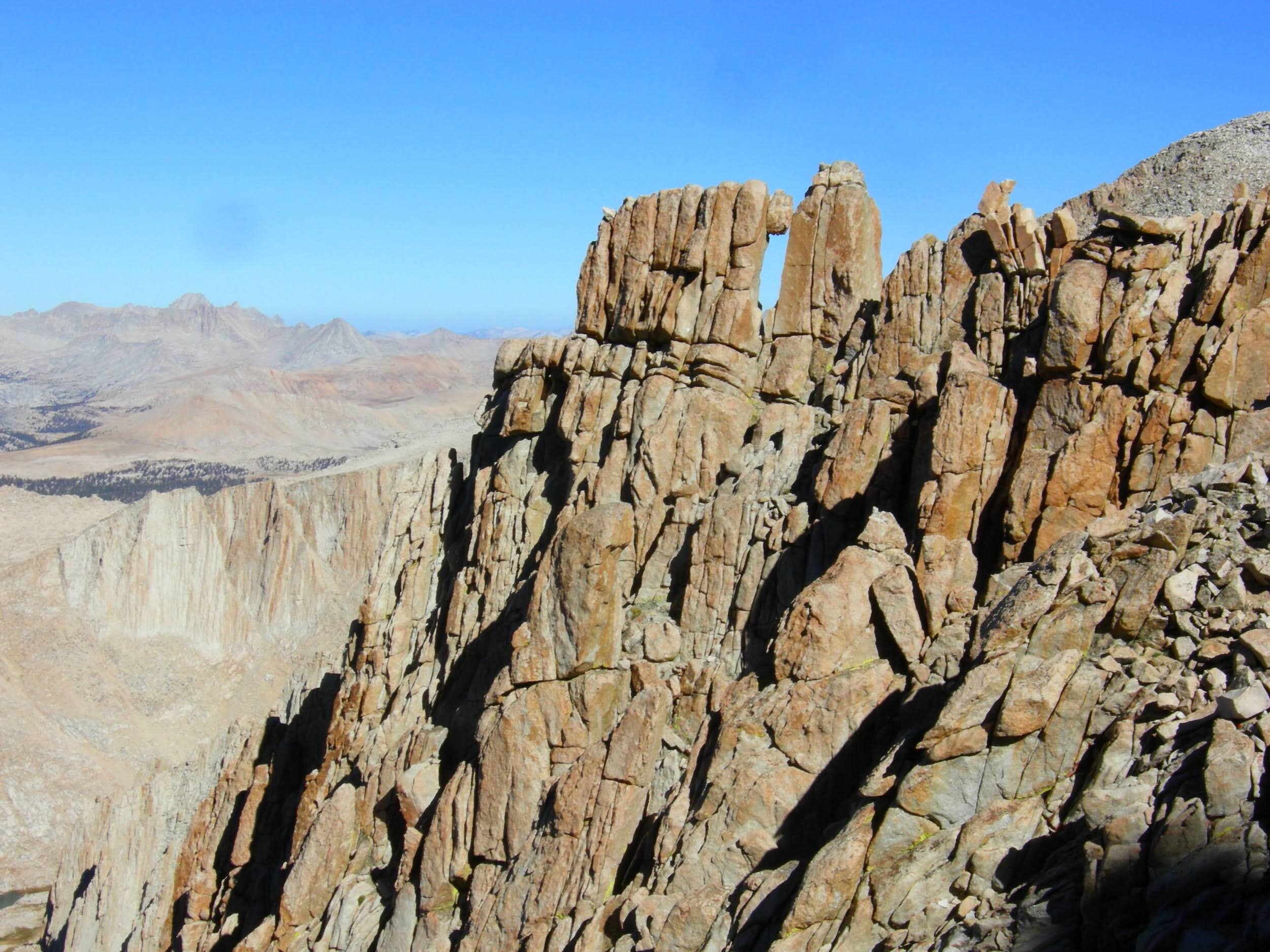
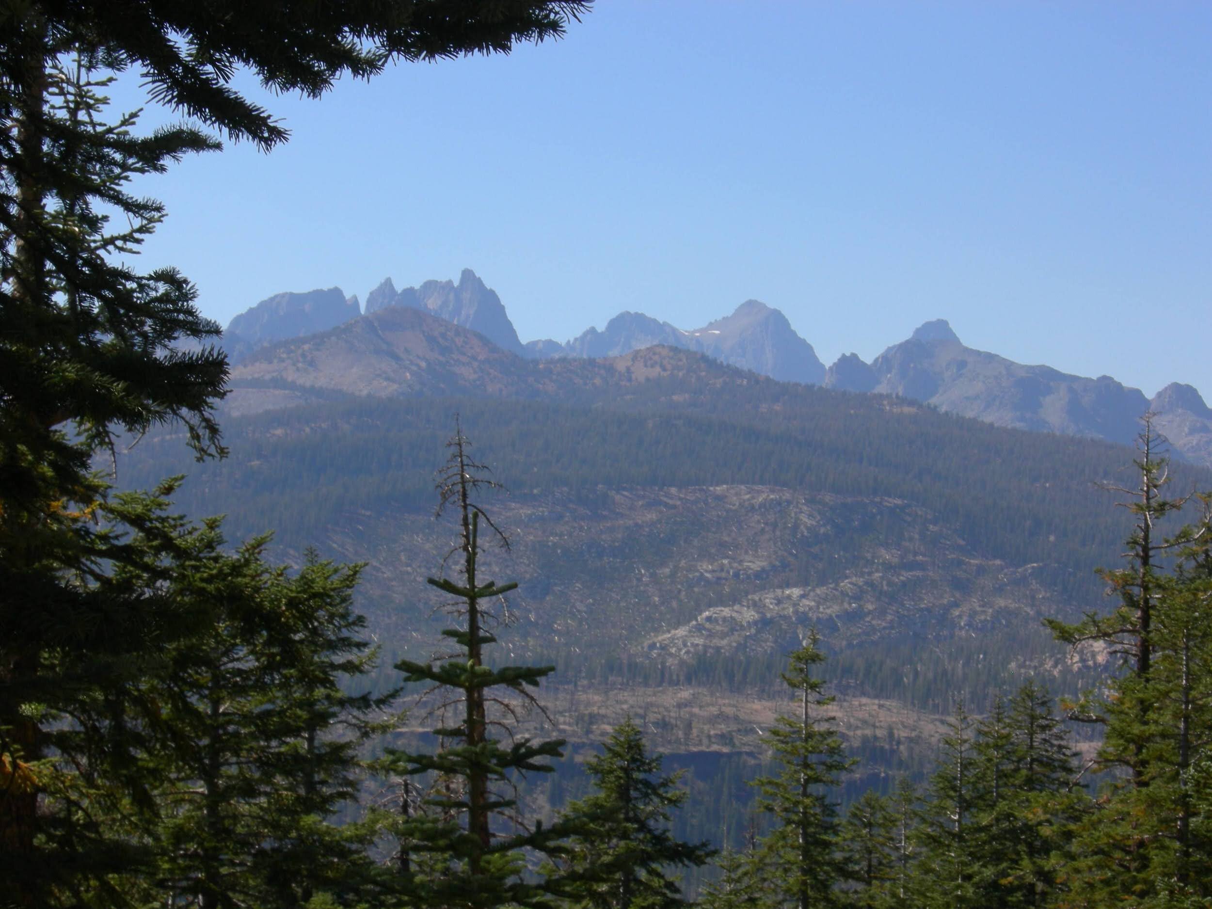
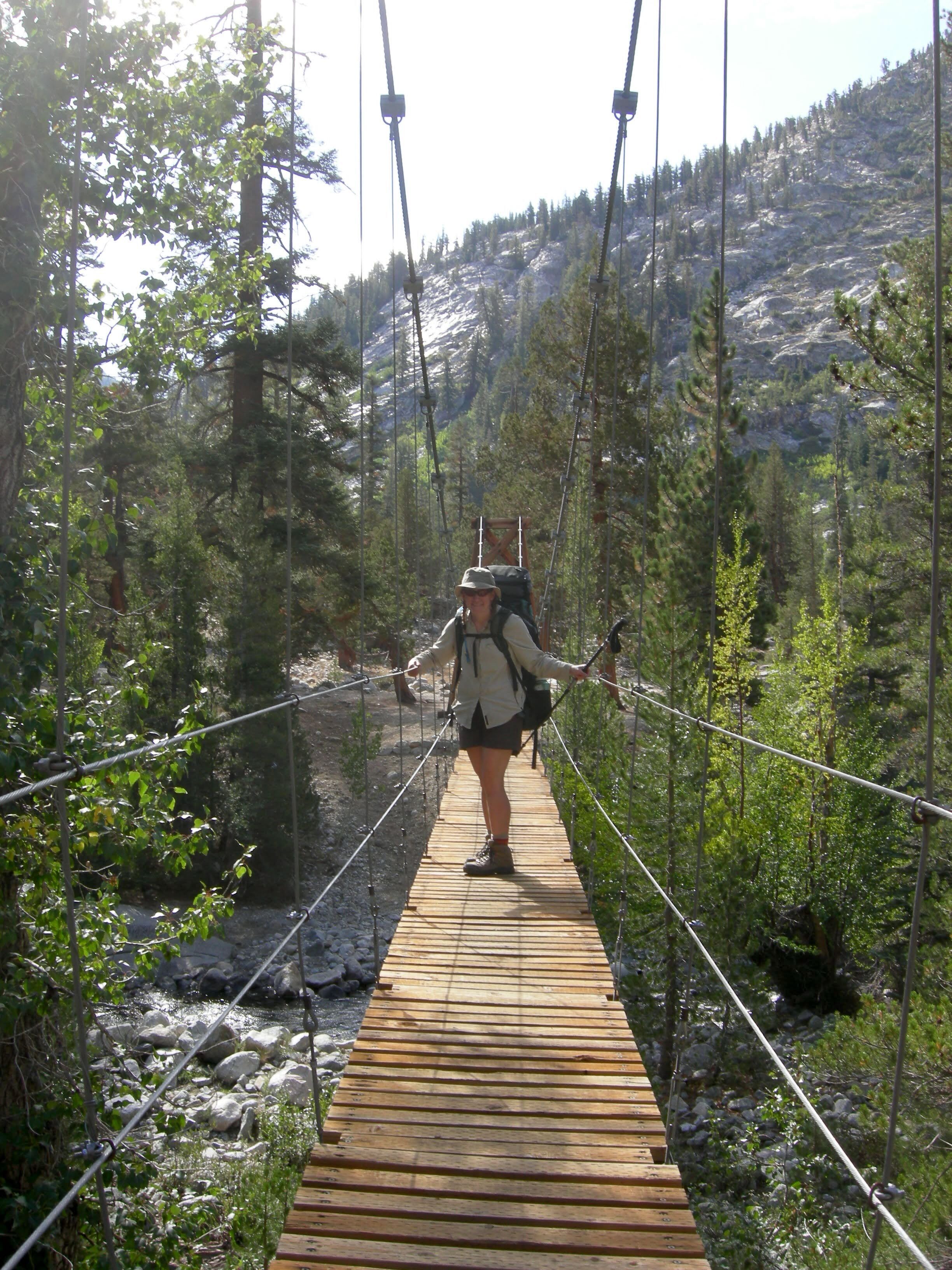
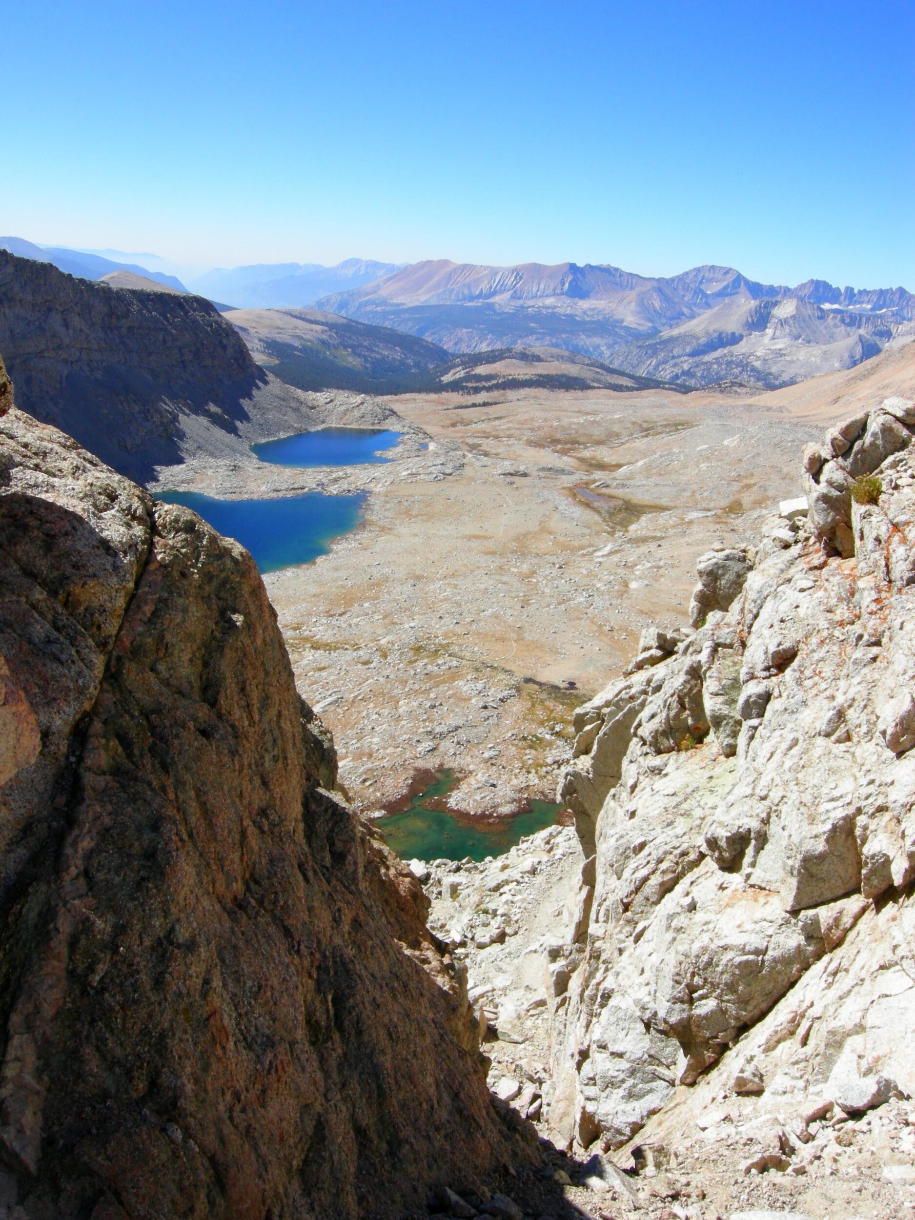
Day 16, September 3, Woods Creek to Rae Lakes (~9.9 miles)
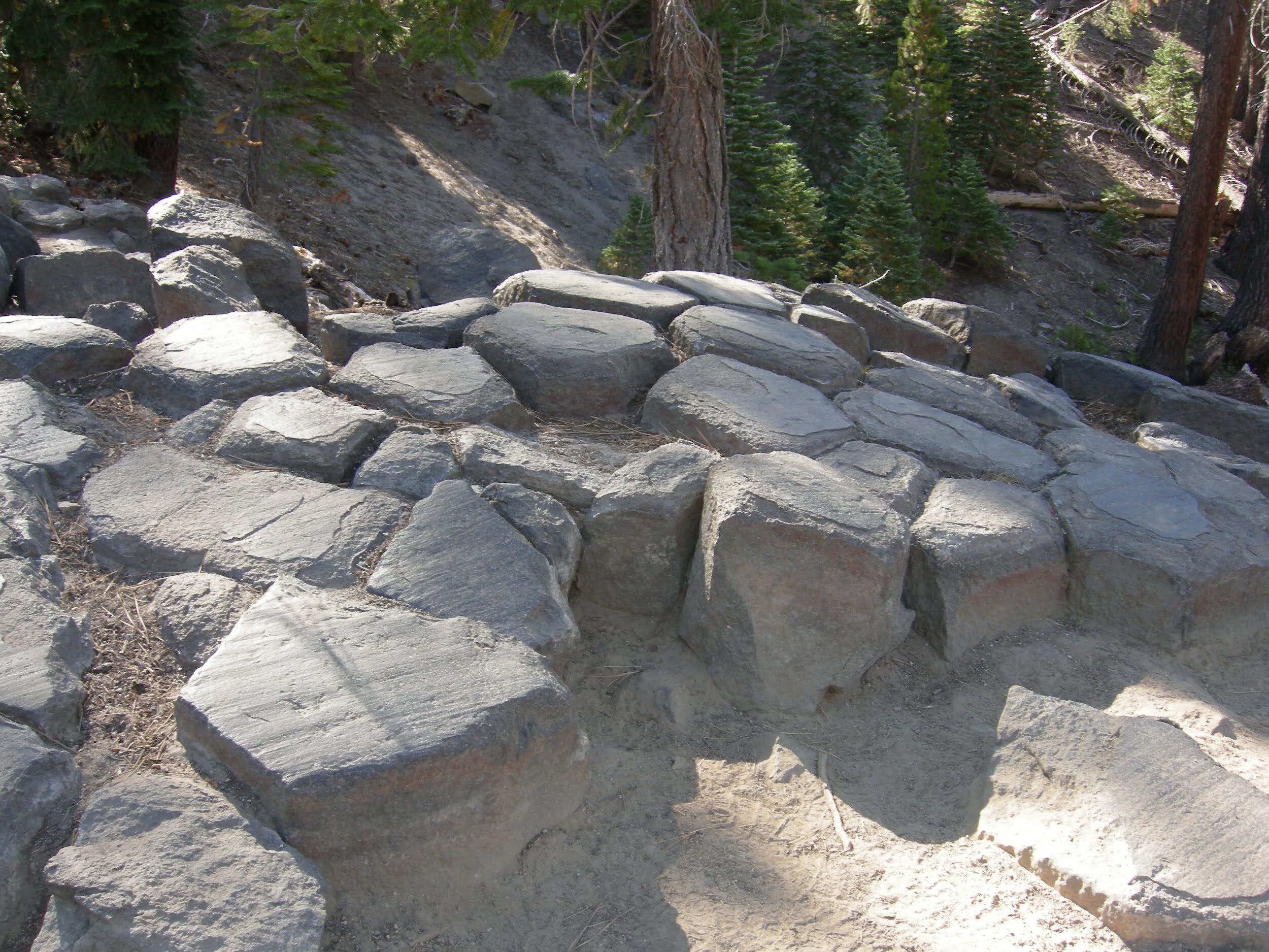
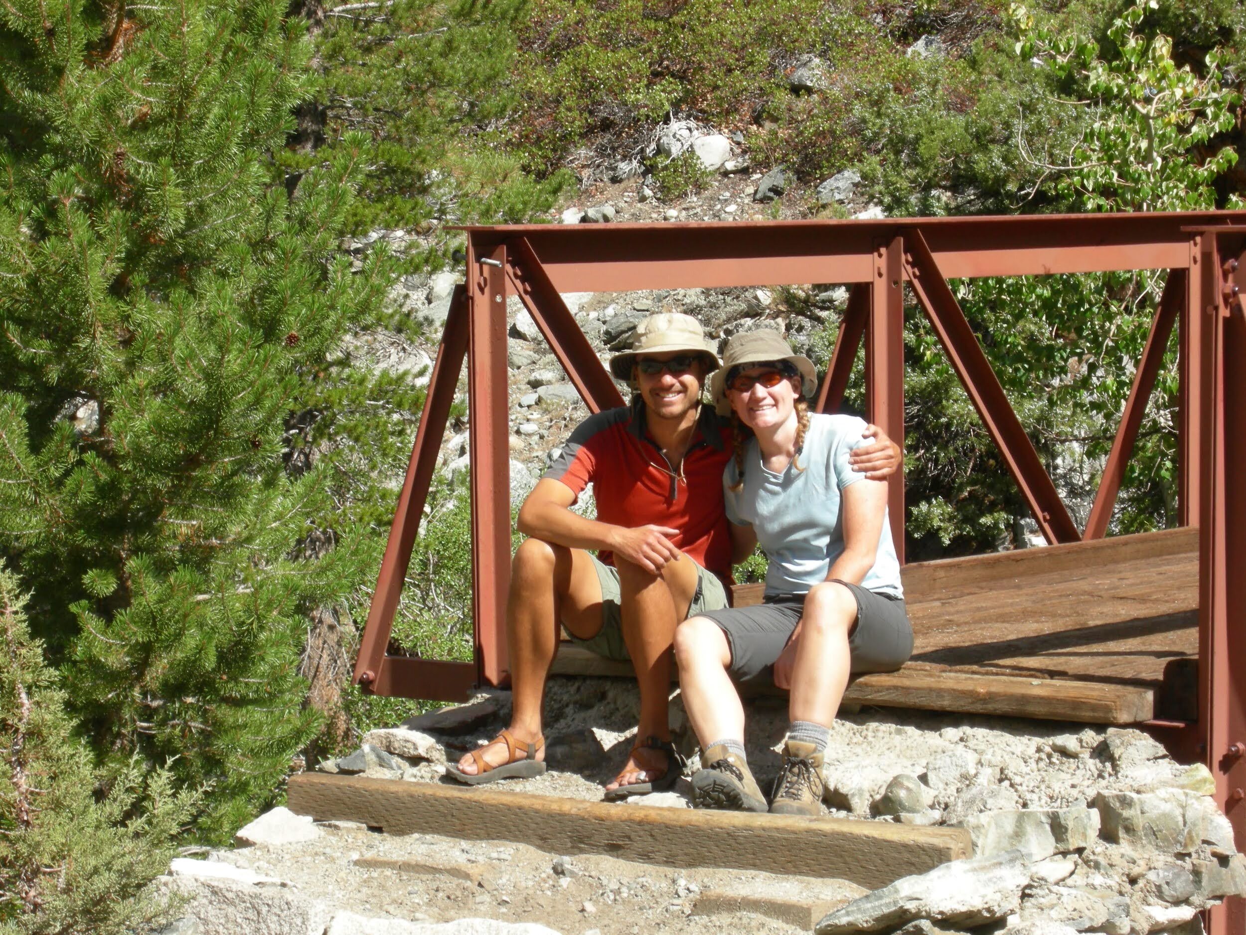
Today we had a relatively easy day, as there was no pass to cross. We passed a huge talus field along Woods Creek, just south of Mt. Cedric Wright. It’s a dramatic peak with deep red veins. The drainage is open and scenic, leading us to the suspension bridge over Woods Creek often called “The Golden Gate of the Sierra.” We took turns crossing one at at time (as directed by the sign), enjoying the bounce in the cables. The creek is quite low and would be an easy ford right now, but that is not usually the case and we were still happy for the convenience of a bridge. From there we had a gradual climb into the Rae Lakes Basin. Lunch at Dollar Lake marked our entry to another iconic spot in the Sierra Nevada, probably as well-known as Evolution Basin for its iconic peaks. We met a few new JMT hikers and Tonya (a climber) ogled Fin Dome and lamented that the approach hike was so long. The storms aren’t done with us yet, as we hiked in rain showers to Arrowhead Lake. By the time we set up camp on the south shore of the 1st Rae Lake, the sky was once again clear and we had a great swim. Our evening was spent ogling the Painted Lady and surrounding peaks across the green waters of Rae Lakes. Tomorrow, Glen Pass. Each pass gets higher, until we reach the top of Mt. Whitney in just a few days.
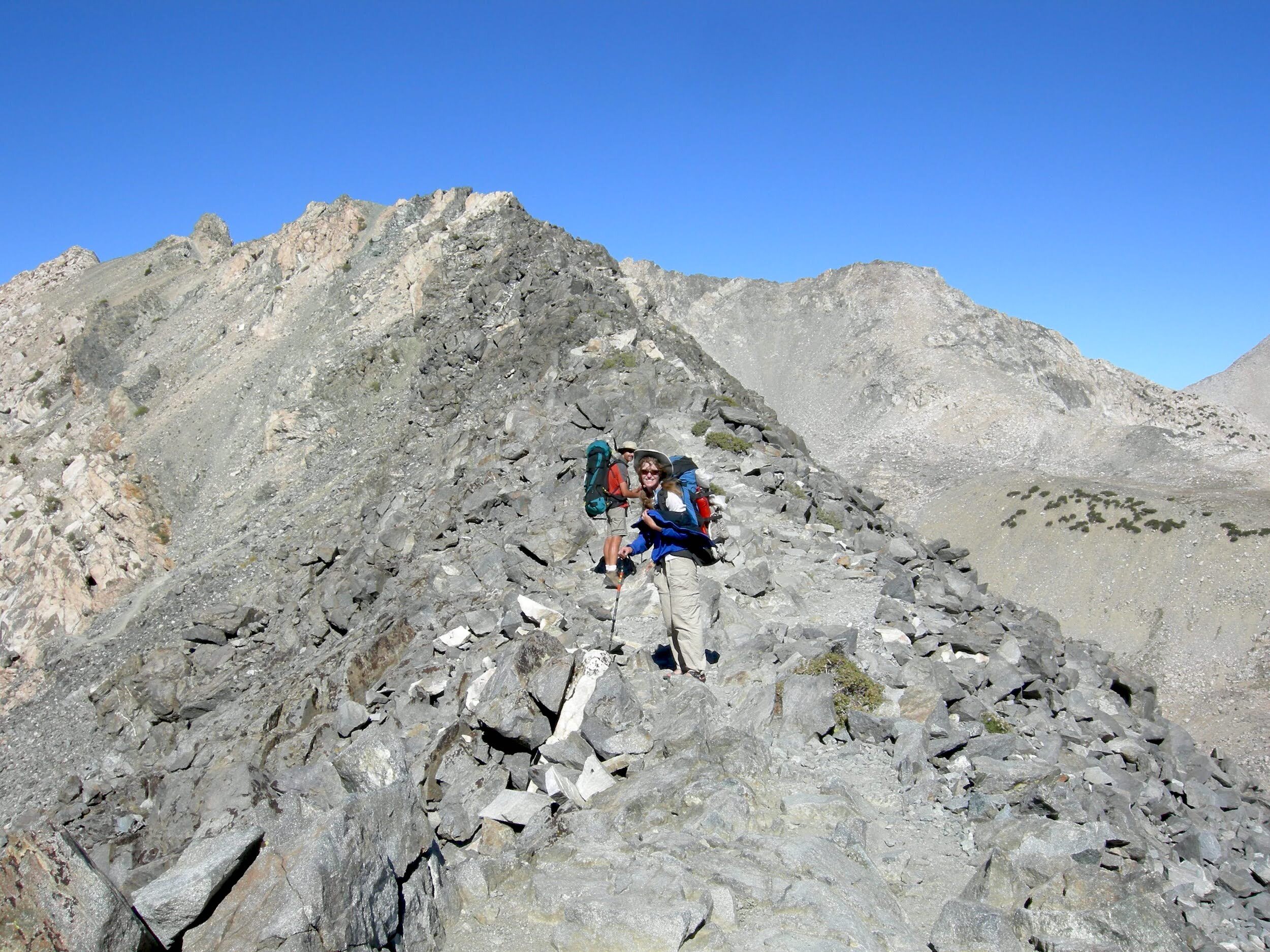
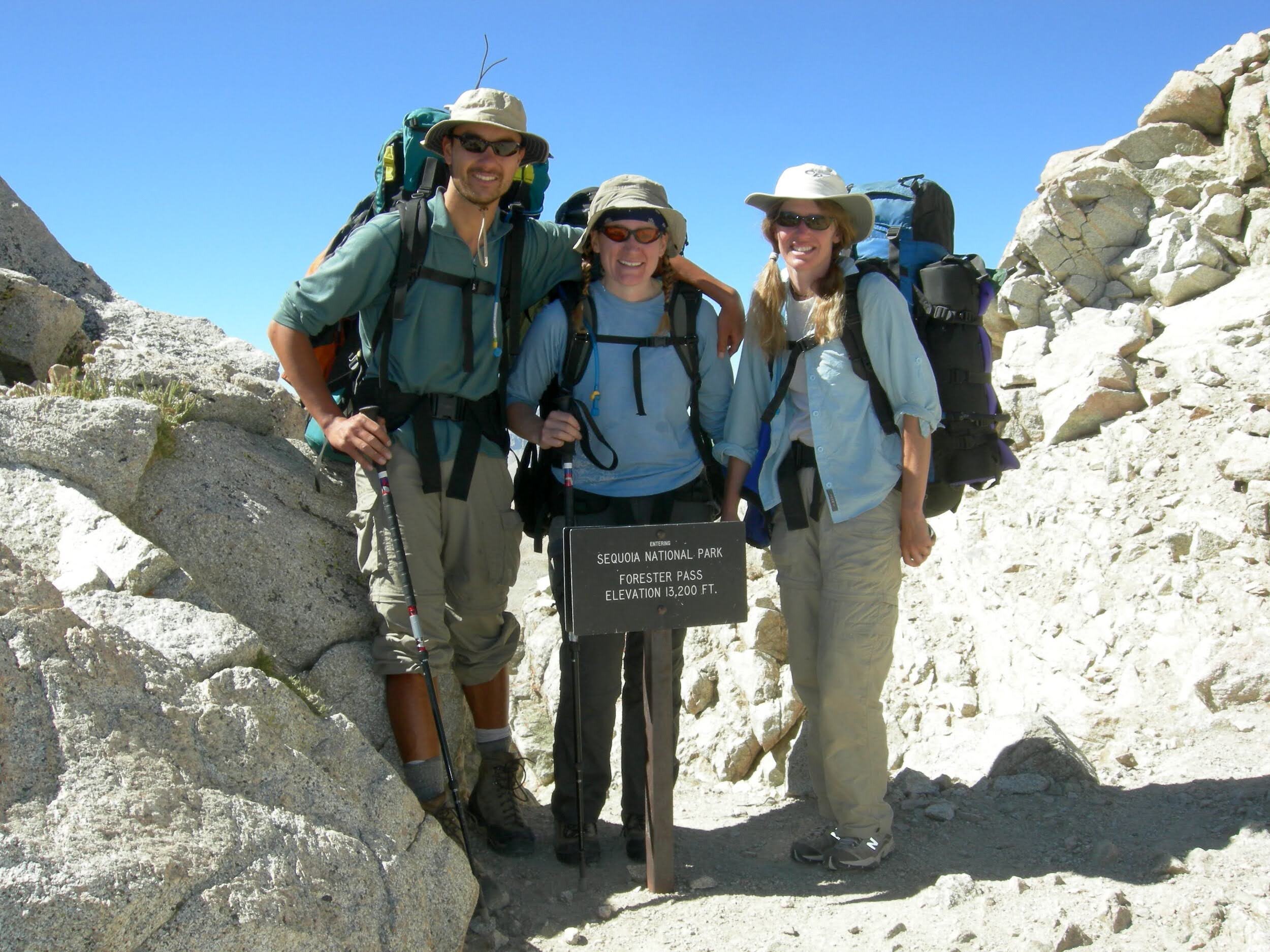
Day 17, September 4, Rae Lakes to Forester Pass Approach (~10.1 miles)
No bighorn sheep on the climb to Glen Pass, but not for lack of searching. None of us has ever had the pleasure of seeing the native Sierra bighorn, and I guess we still haven’t. Glen Pass is a serious climb, but we must be getting a little fitter, and nothing is as bad as Mather, so we made decent time to the top. It’s all talus, but the trail is well-constructed. The elevation is nothing to us now, as we’ve been above 10,000’ for what seems like forever. We descended Glen Pass into Vidette Meadow, passing Charlotte Lake and getting our first views towards Forester Pass. The weather stayed clear and we decided to continue on, hoping to get much of the climb under our belts today. There aren’t many campsites at the higher elevations, and we were a little frustrated to reach the best one that is big enough for our larger tent only to find it taken by our Frenchman in his micro-tent. We might have cursed a little under our breath, but continued a bit further and found a passable spot surrounded by a low wall of stones and some stunted trees. We settled in for a cold night at this high elevation.
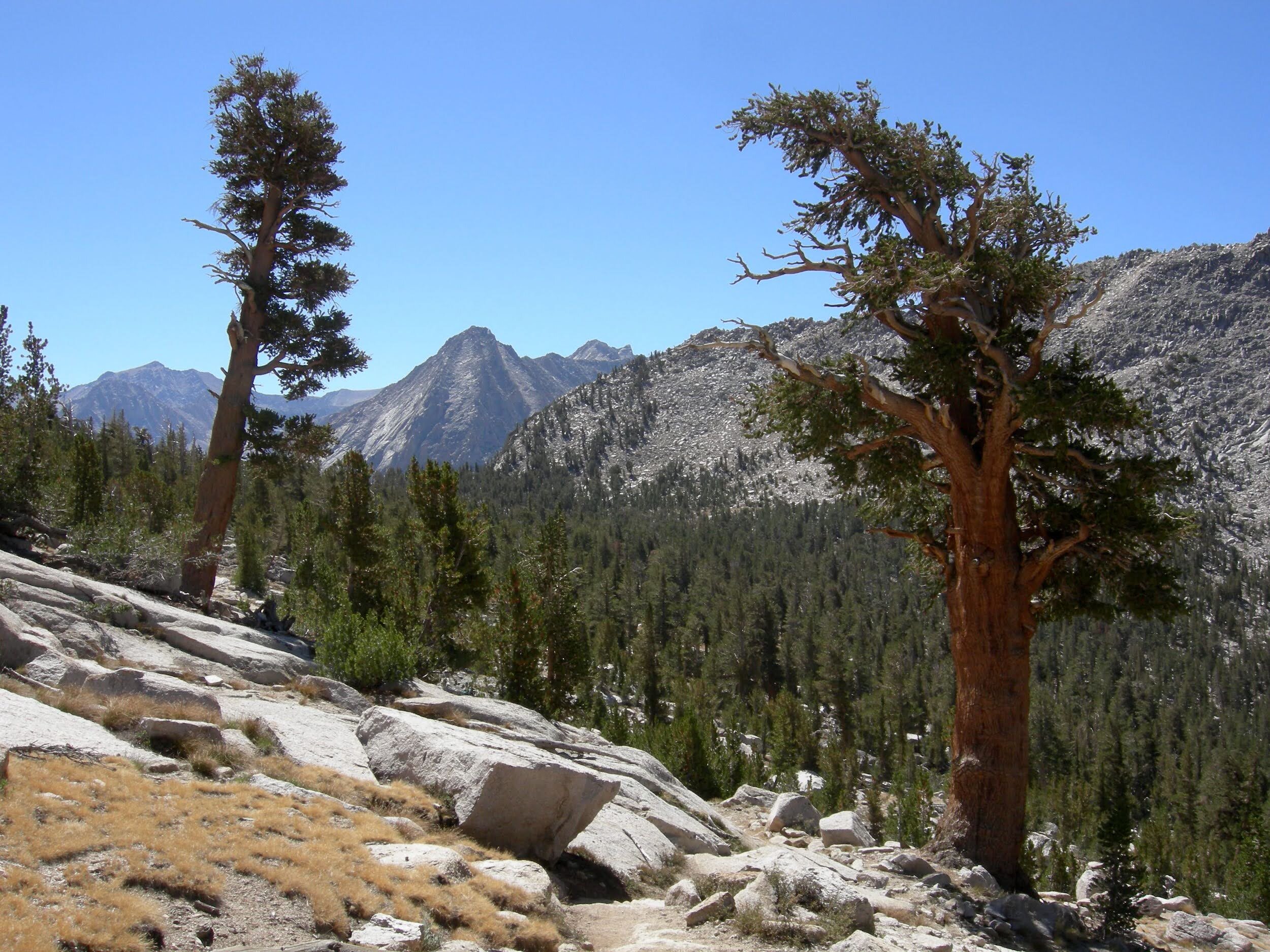
Day 18, September 5, Forester Pass Approach to Wright Creek Crossing (~9.9 miles)
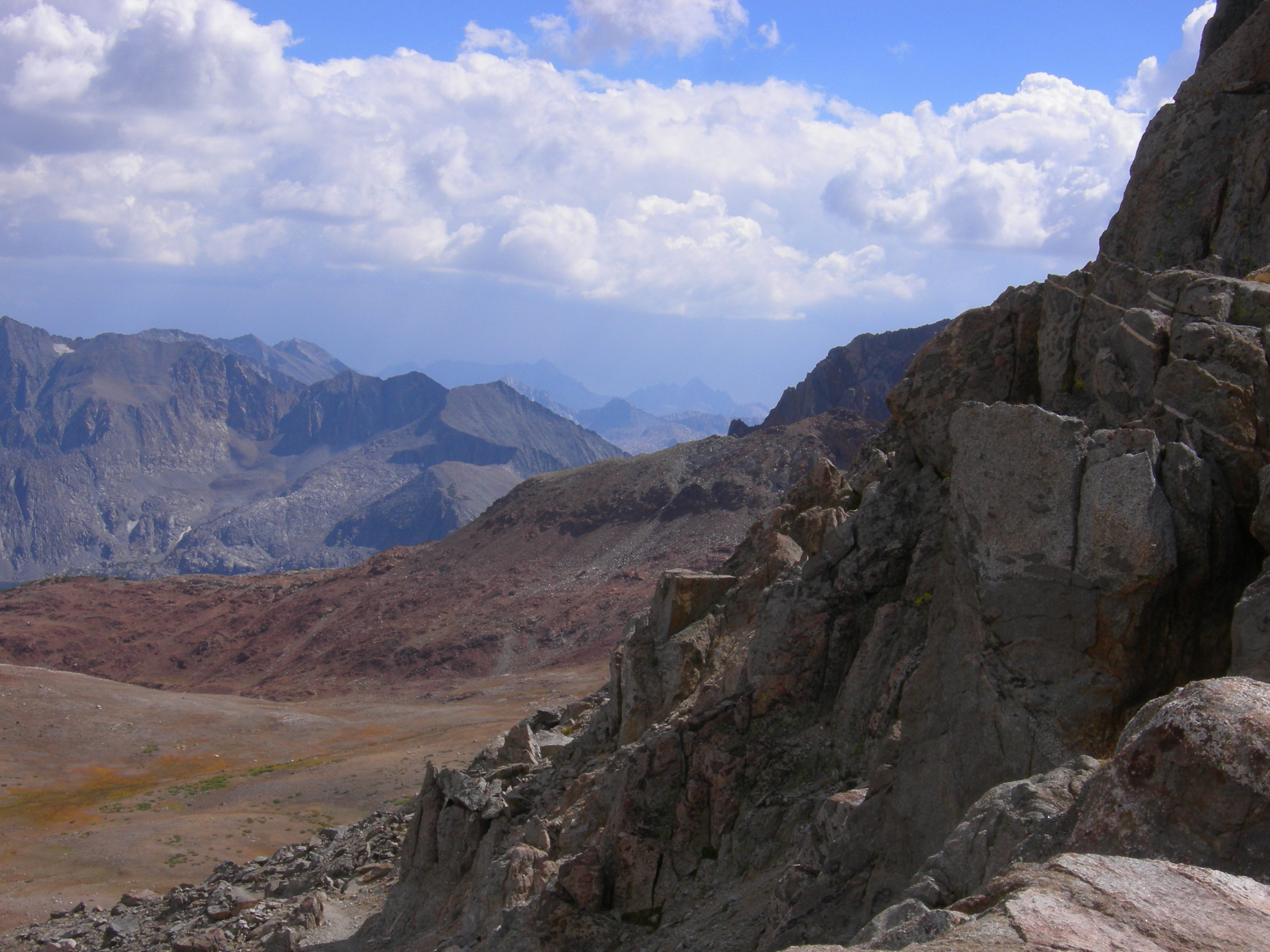
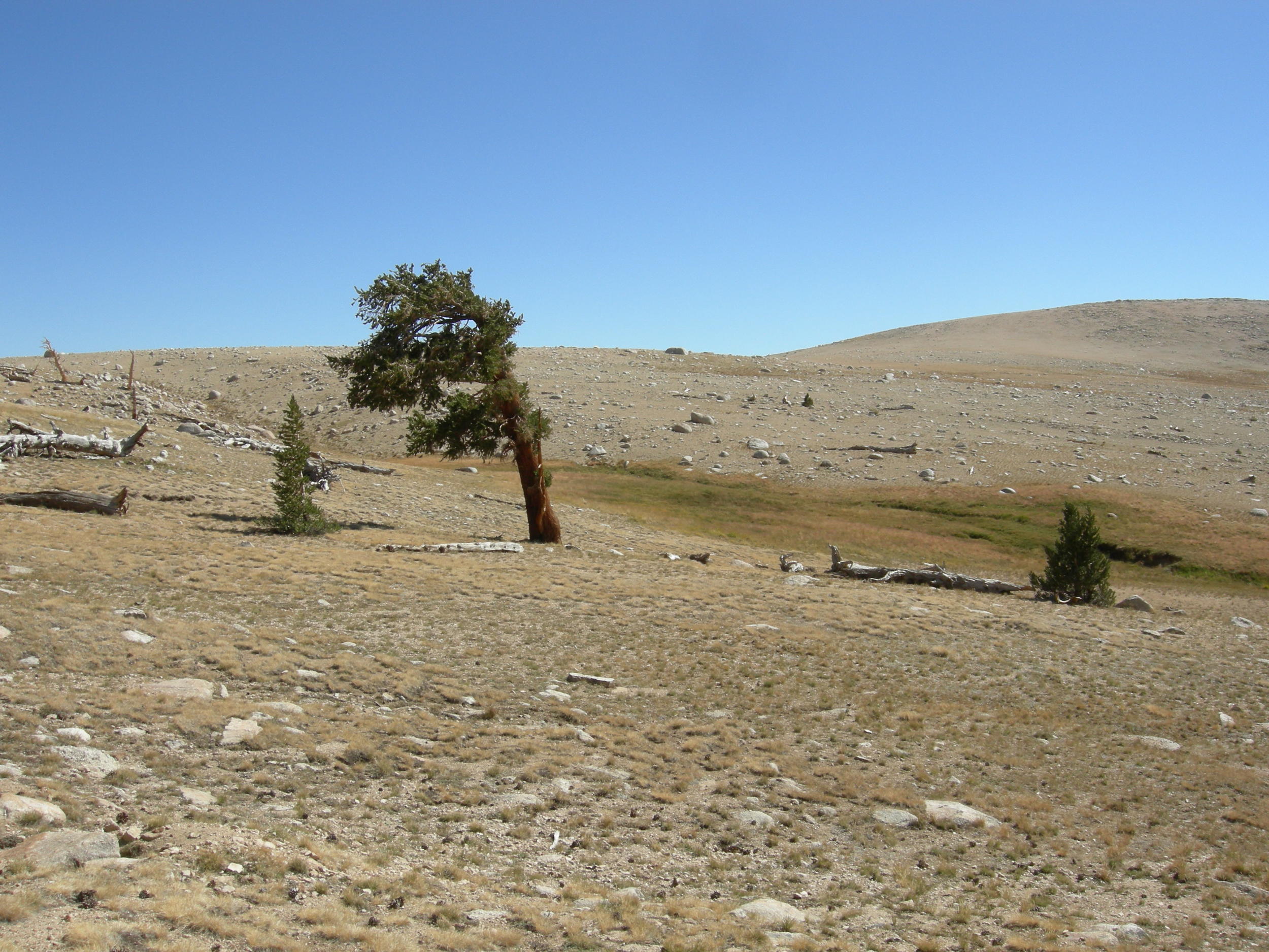
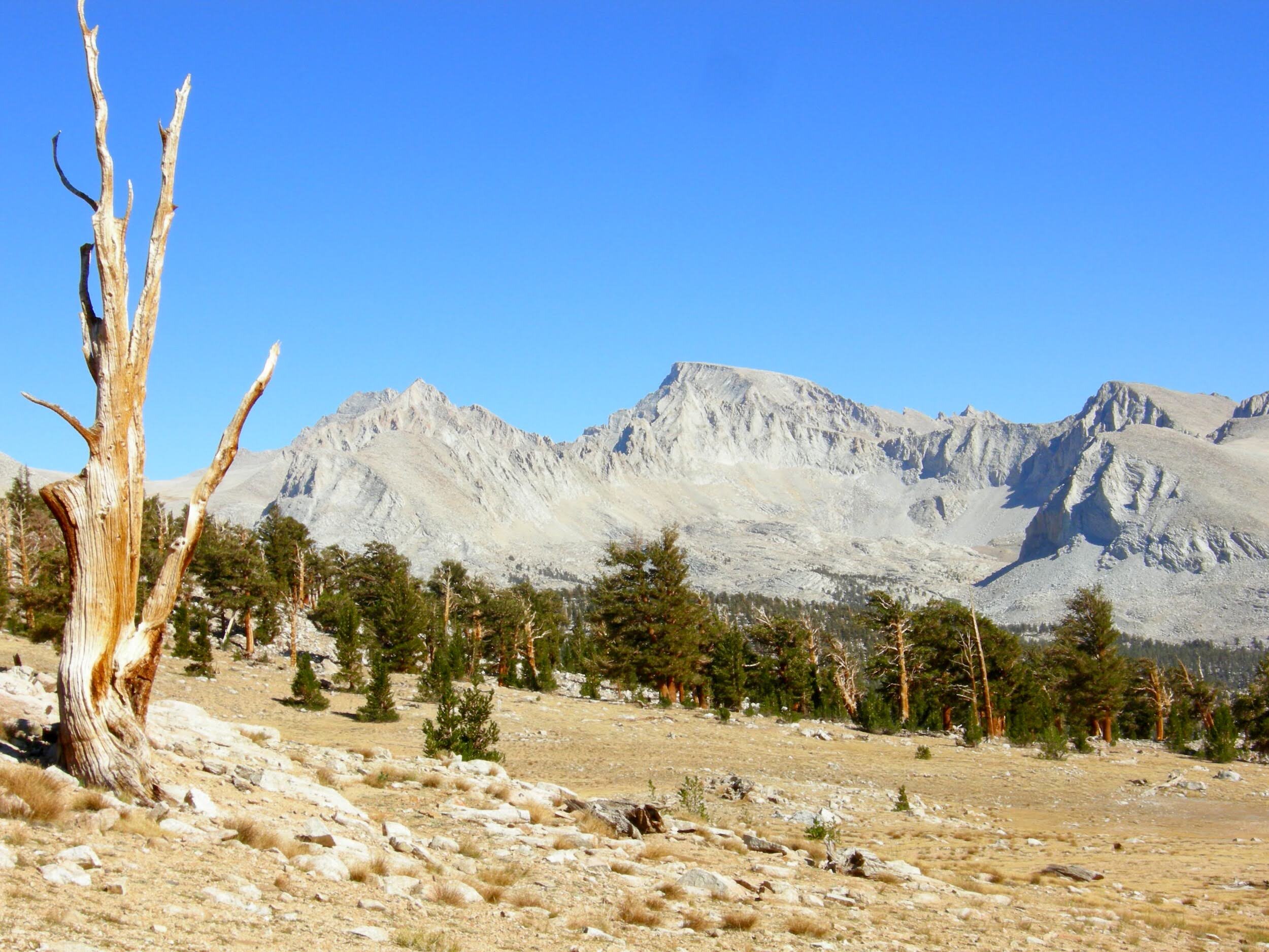
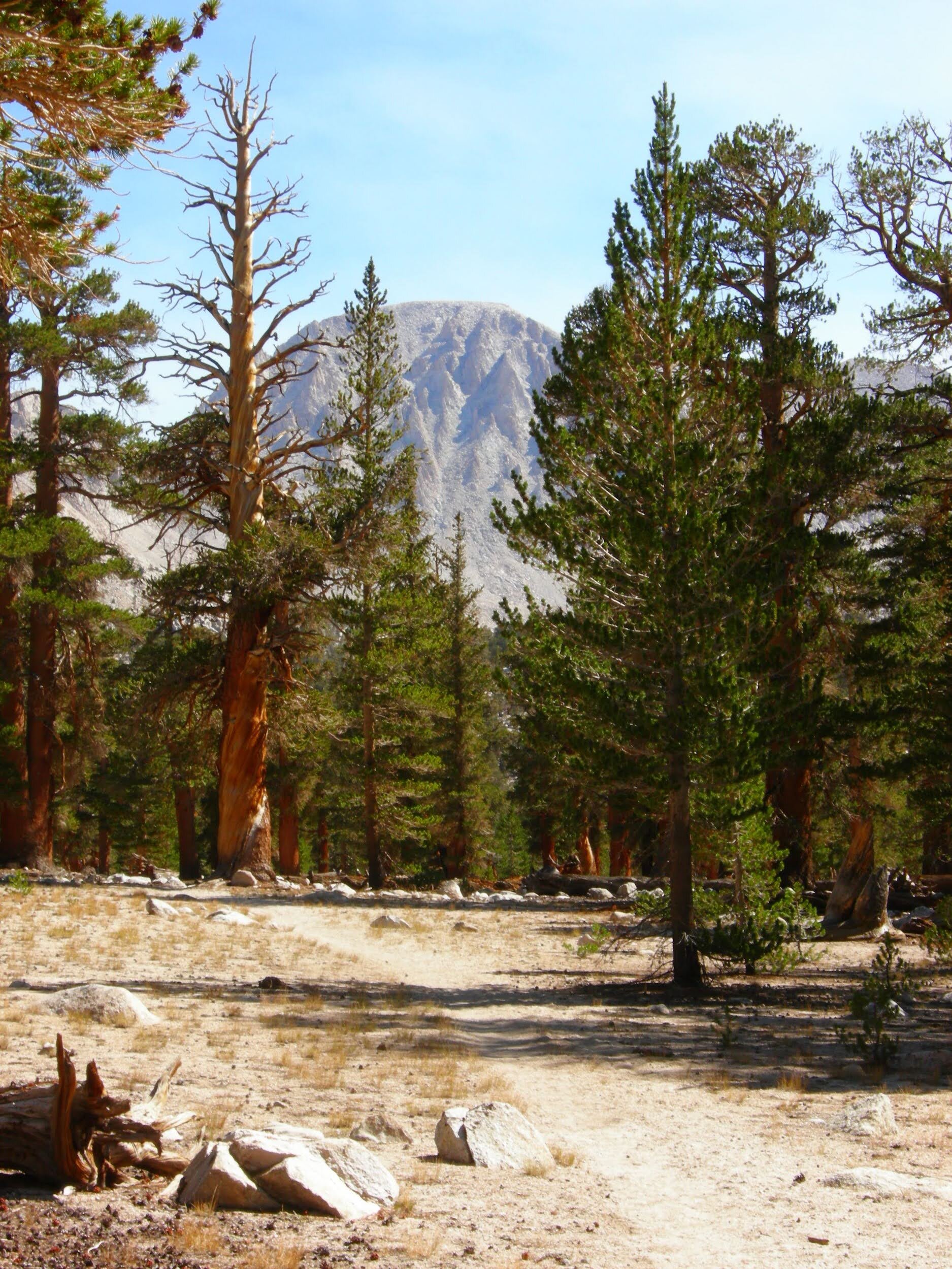
Frost on our sleeping bags this morning, but no rain and the sky is still clear. We made good time to the top of Forester Pass - at 13,200’ it is the highest point on the JMT excepting Mt. Whitney. We had a shred of cell service and were able to call Alan to arrange a ride from Whitney Portal in a few days. We dropped down into the Tyndall Creek drainage, the beginning of a somewhat barren landscape that stretches south to Whitney. There are amazing trees, but the forest is never dense and there is not much for undergrowth at this punishing elevation. We passed pale yellow and treeless Tawny Point, then crossed the long treeless expanse of Bighorn Plateau with its shallow tarn looking more like a desert oasis that might disappear if we got too close. No bighorn sheep here, either, but we finally have our first views of Mt. Whitney. It’s starting to feel quite real, that we will soon have hiked the entire John Muir Trail. We found a spot to camp near the Wright Creek crossing, happy to be in the trees after a day of nearly shade-less hiking in the hot sun. The rains seem like a distant memory, and we are happy for the cool water of the creek.
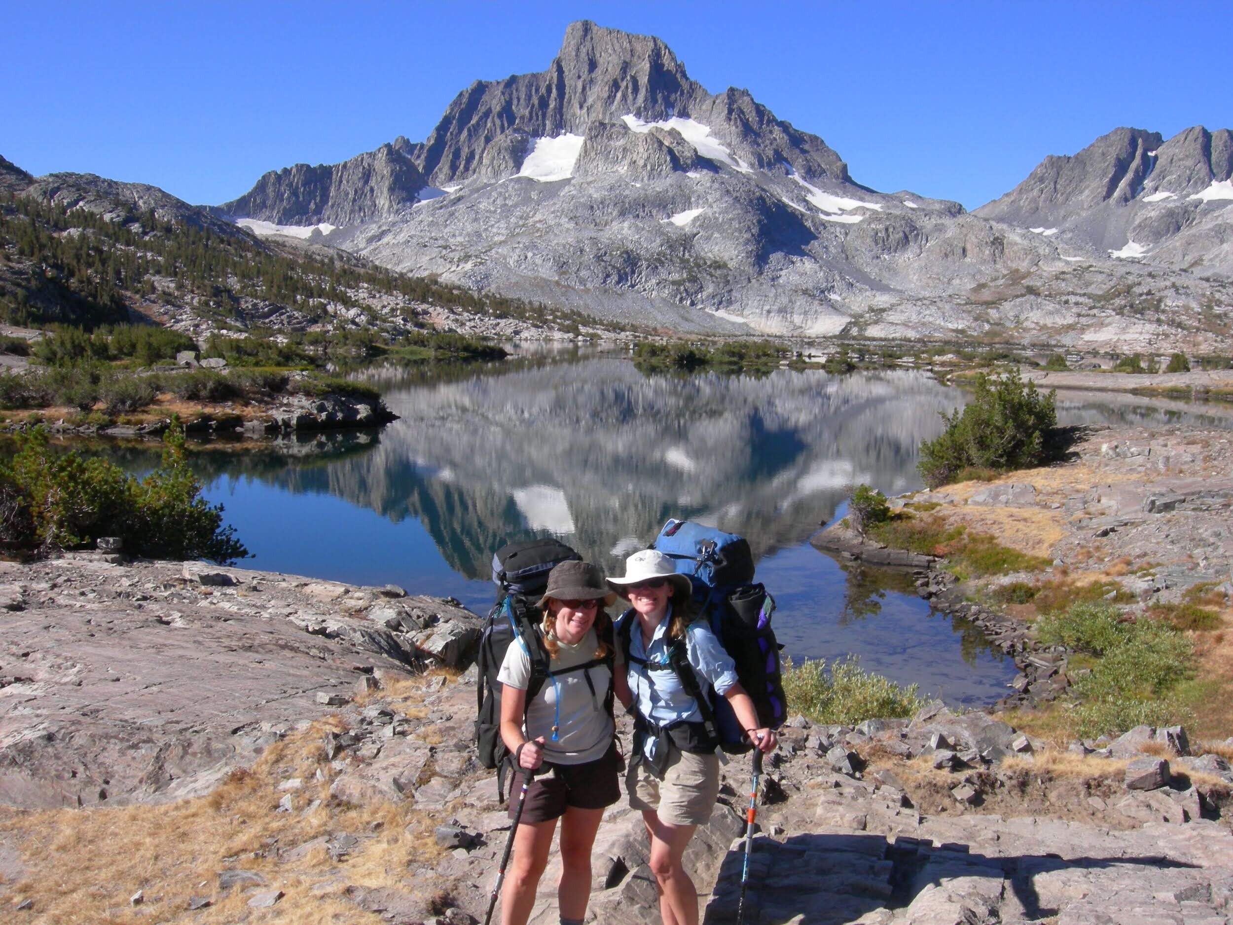
Day 19, September 6, Wright Creek to Guitar Lake (~7.9 miles)
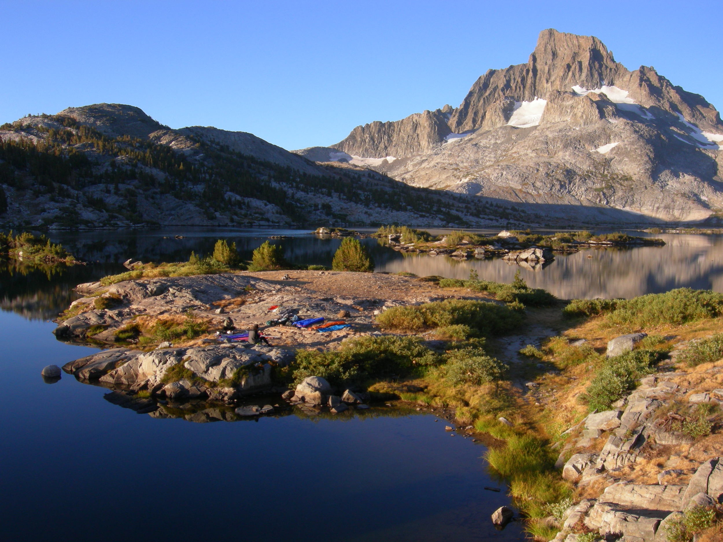
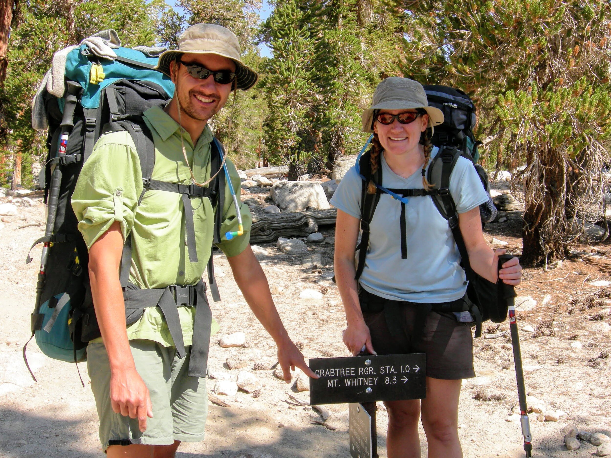
A short day today, to set up for summiting Whitney tomorrow. The High Sierra Trail joins the JMT at Wallace Creek, and suddenly there are many more hikers on the trail. We chat with some and share experiences, and give others nicknames. There is a husband/wife pair that both have purple hiking shirts; we dub them “the purple people-eaters” for no reason except that it rolls of the tongue nicely, and we haven’t actually met them so we don’t know their names. We stop at the Crabtree junction to pick up our required “WAG” bags. The area around Mt. Whitney has very little soil, and sees a huge amount of use by hikers. To minimize impact, we are required to carry out all human waste and these bags provide a convenient way to do so. It seems strange, but we definitely appreciate the reasoning and it makes good sense for the situation. Camping is also restricted in this area, so we continue up the trail to Guitar Lake, the most common/popular spot for JMT & HST hikers on their last night in the wilderness. The lake is named for its shape, and we have our choice of campsites when we arrive in the early afternoon. By later in the day, the entire neck and body of the guitar is filled with tents. We chat with many hikers. While most are JMT or HST hikers, there are also a handful on various weekend or several-day loops. It is very difficult to get a permit to hike Mt. Whitney from the east side, so many backpackers plan a trip around a west-side approach as a means of reaching the summit of the highest peak in the lower 48. We settle into the tent for our last night on trail.
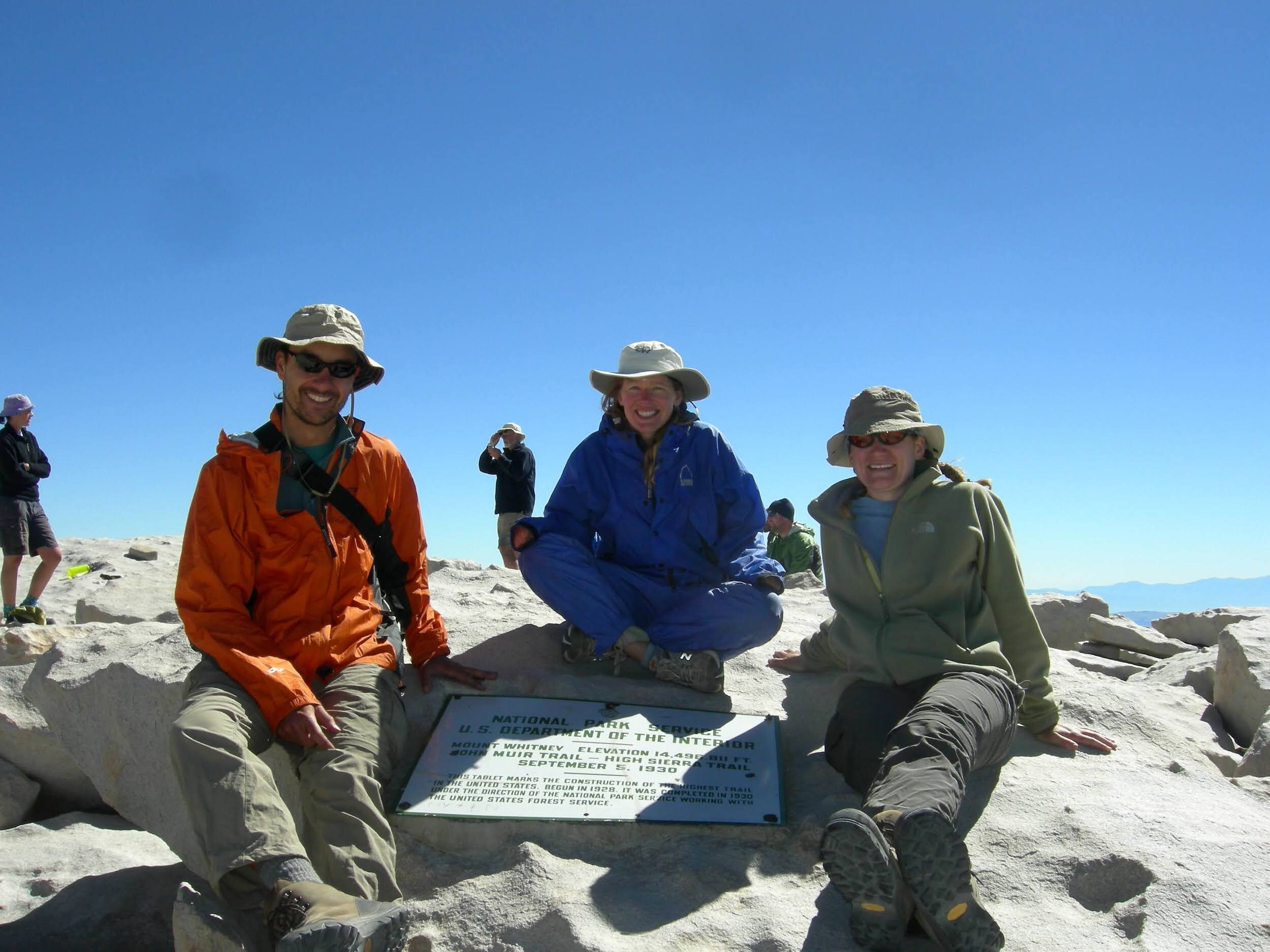
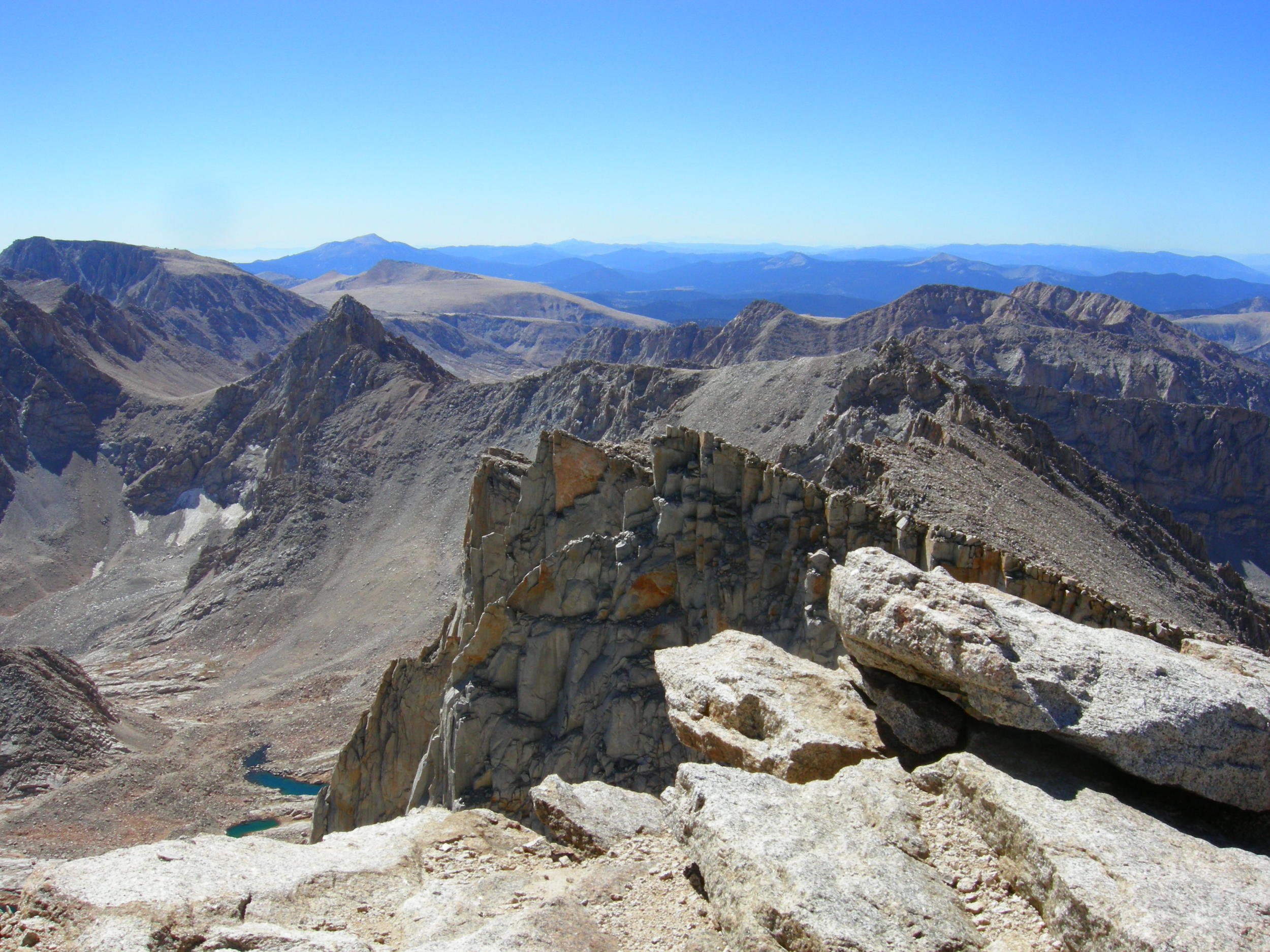
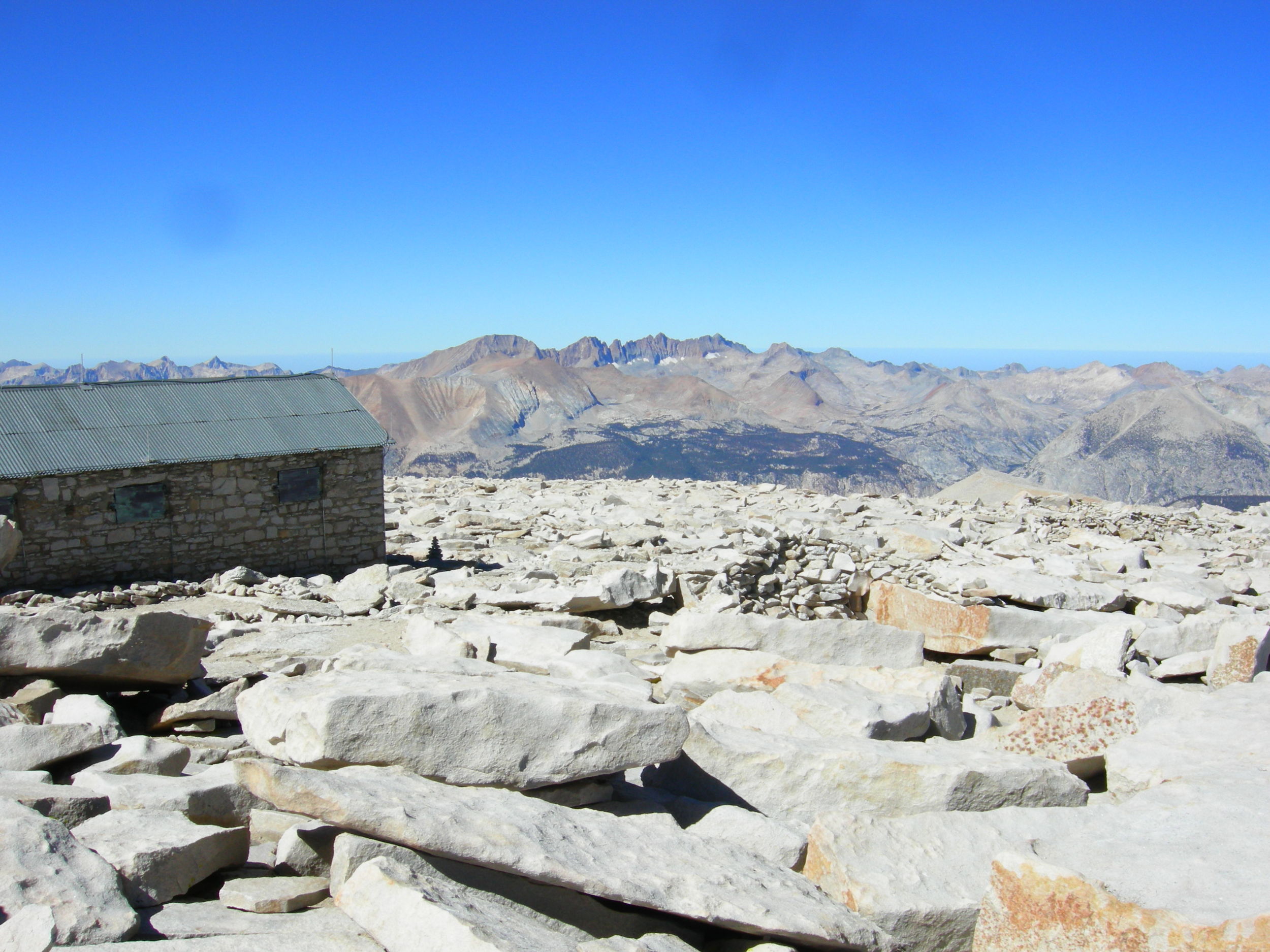
Day 20, Guitar Lake to Mt. Whitney Summit & down to Whitney Portal (~15.1 miles)
We woke early, but not nearly as early as the many who headed up the trail by headlamp. We started our long climb towards the summit. Perhaps we shouldn’t have been surprised that the climb seemed no more difficult than the past few mountain passes, after our 200+ miles on-trail. We dropped our packs at the Trail Crest junction and from there it seemed like we flew the last few miles to the summit. Amazing what 3 weeks on trail can do for your fitness level and acclimation to high elevation. Tonya had been on the summit before, but it was the first time for the two of us. We spent plenty of time enjoying the sights from every angle, and of course we signed the summit register. Someone had left a “that was easy” button in the box, a product of a current ad campaign by a large office superstore. We all had a chuckle over pressing the button and hearing the voice repeat its phrase over and over. We didn’t want to leave, but we also wanted to finish our hike and enjoy some real food. We finally headed back to Trail Crest and picked up our backpacks, and started down the long switchbacked trail to Whitney Portal. We camped one more night in the backpackers camp there at the Portal, a perfect end to our longest backpacking trip ever.