
“The ranger at Evolution Meadow turned us back. We don’t have ice axes, we don’t have hiking poles, we don’t even have sunglasses. ”
LOCATION
John Muir Wilderness & Sequoia-Kings Canyon Wilderness, CA, USA
MILEAGE
~215 miles (some off-trail, & many over snow)
TOTAL CLIMB (& Descent): ~20,895'
DAYS: 10 SEASON: Mid-JULY
Year: 2011
STARTING & ENDING TRAILHEAD
Piute Pass (North Lake)

Map: Tom Harrison Mono Divide High Country Map & Kings Canyon High Country Trail Map
GuideBooks: The High Sierra: Peaks, Passes, Trails by RJ Secor, Sierra South by Kathy Morey & Mike White from Wilderness Press
Day 1: North Lake TH (~9270') to Wilderness Boundary
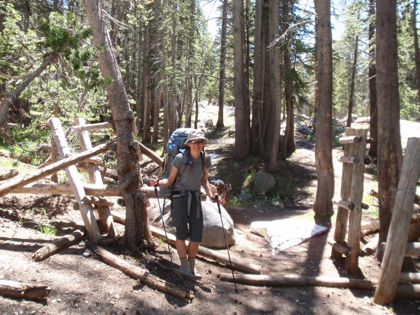
After a long drive from the SF Bay Area, we got a VERY late start from the trailhead, even by our lax standards. We didn’t quite make it 2 miles but we found a decent tent spot near the wilderness boundary. Better than no hiking at all….
Day 1 STATS: 1.8 Miles | 713' climb | 226' descent | 487’ net elevation gain
Day 2: Wilderness Boundary (~9735’) to Lower Desolation Lake (frozen)
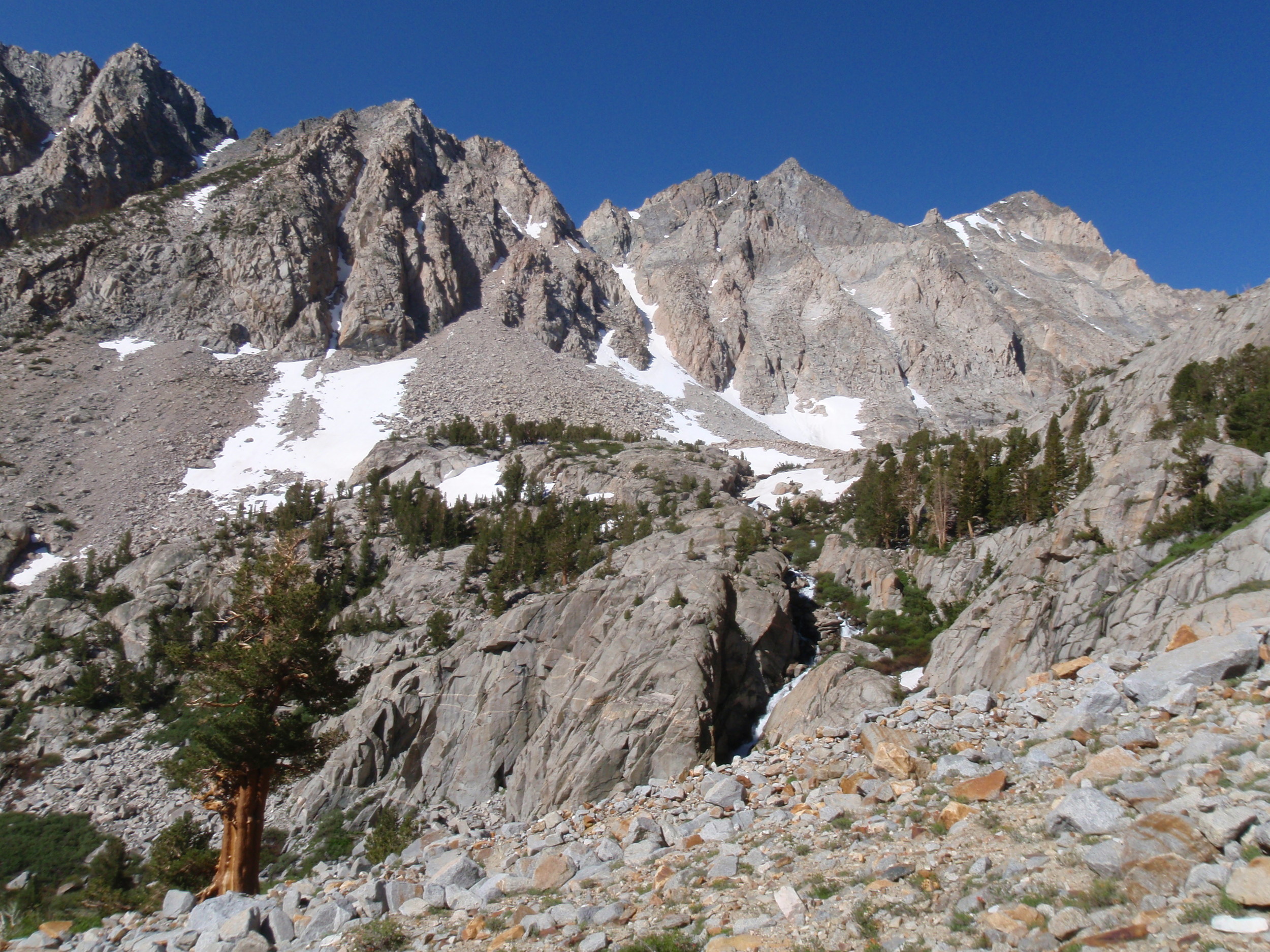
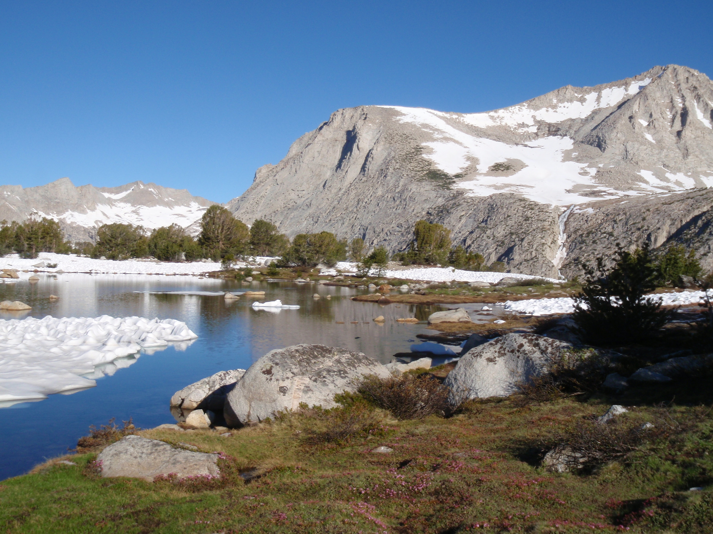
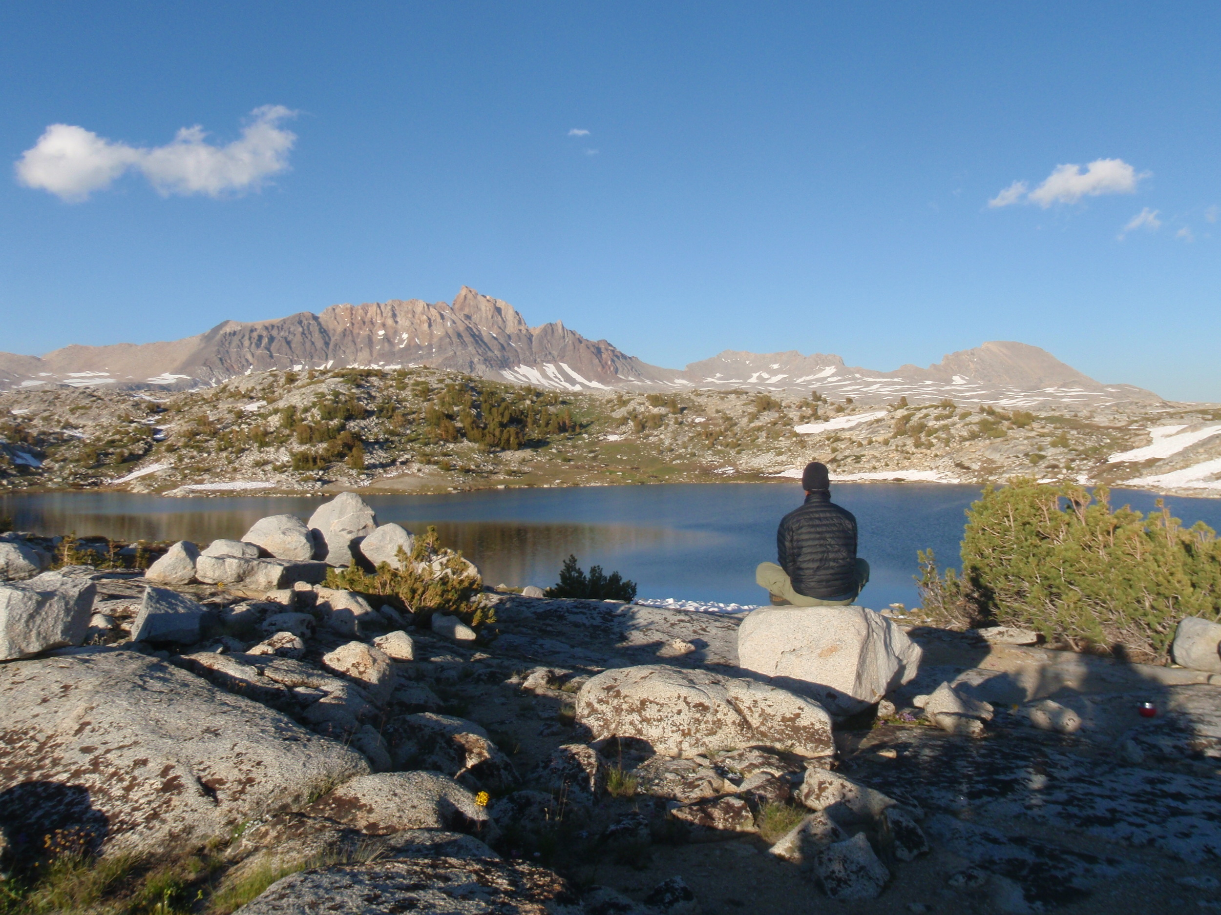
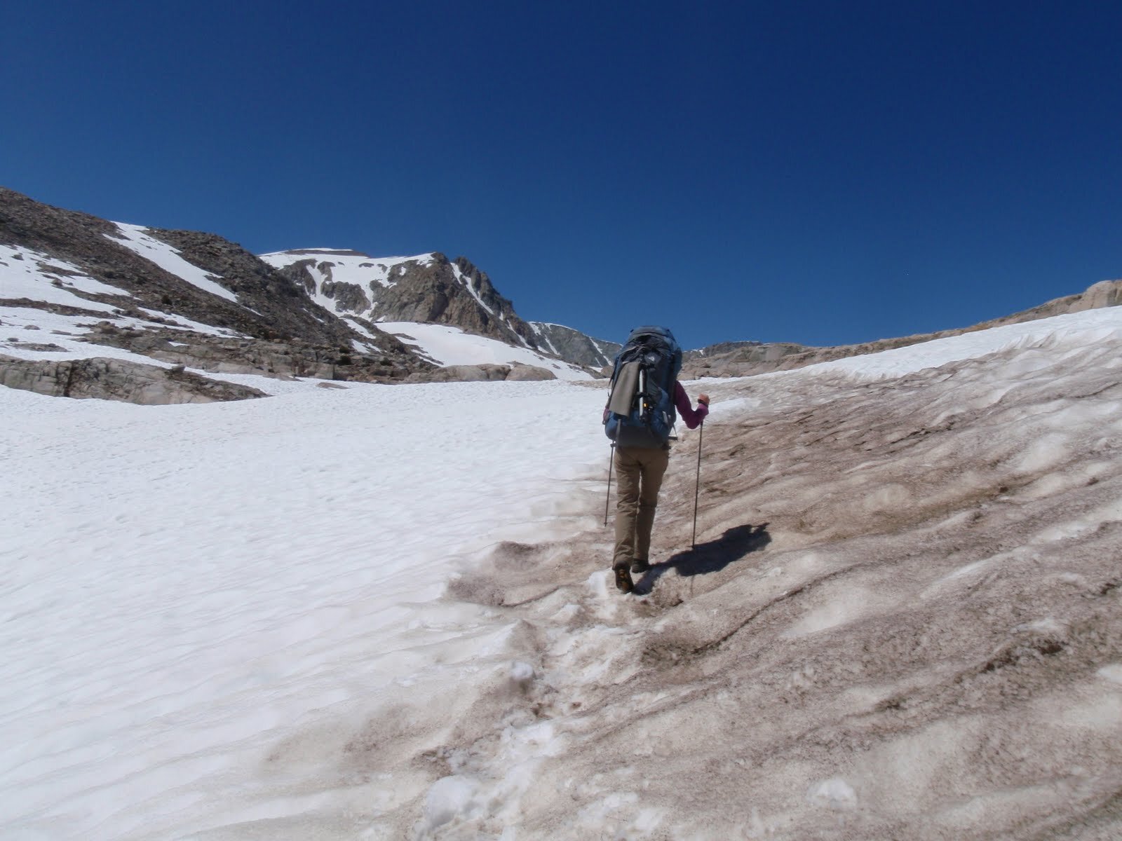
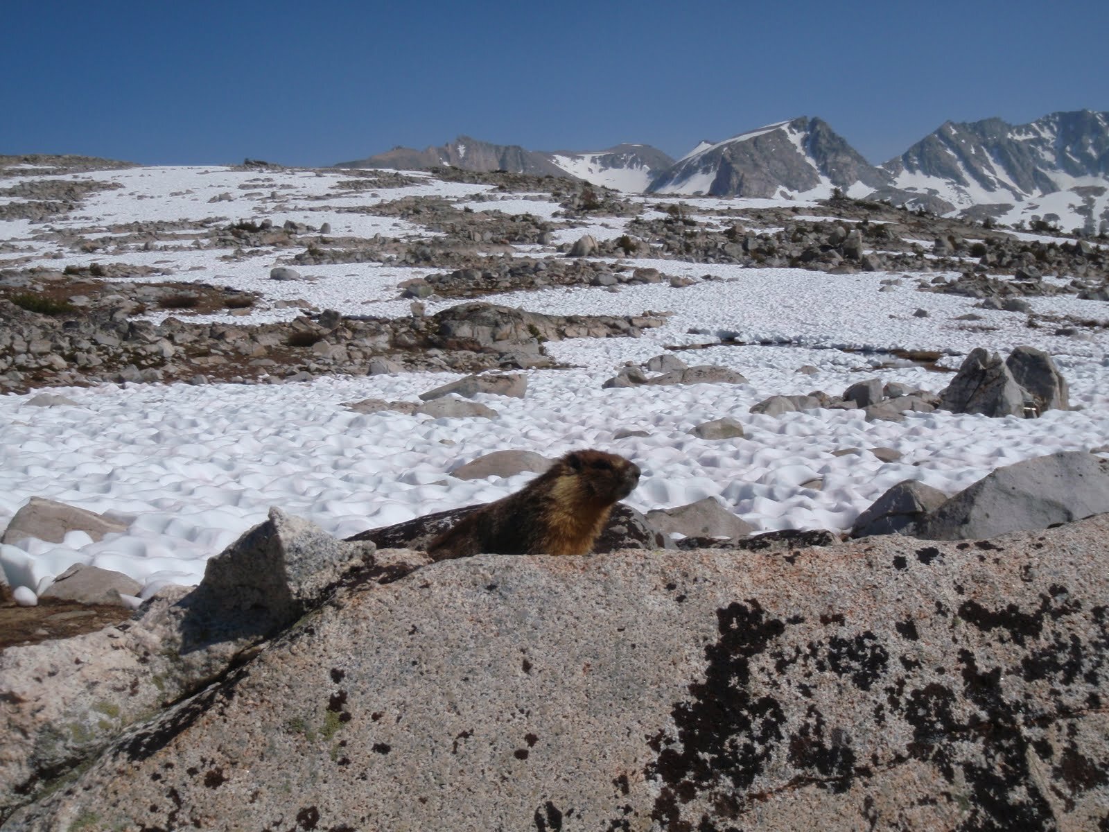
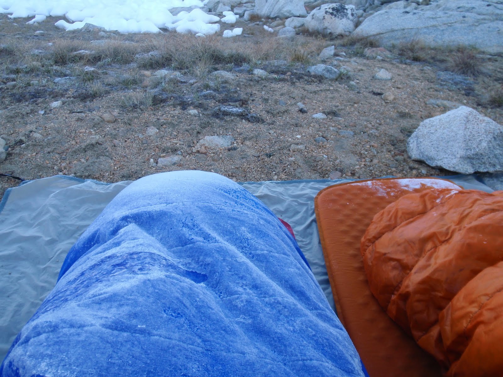
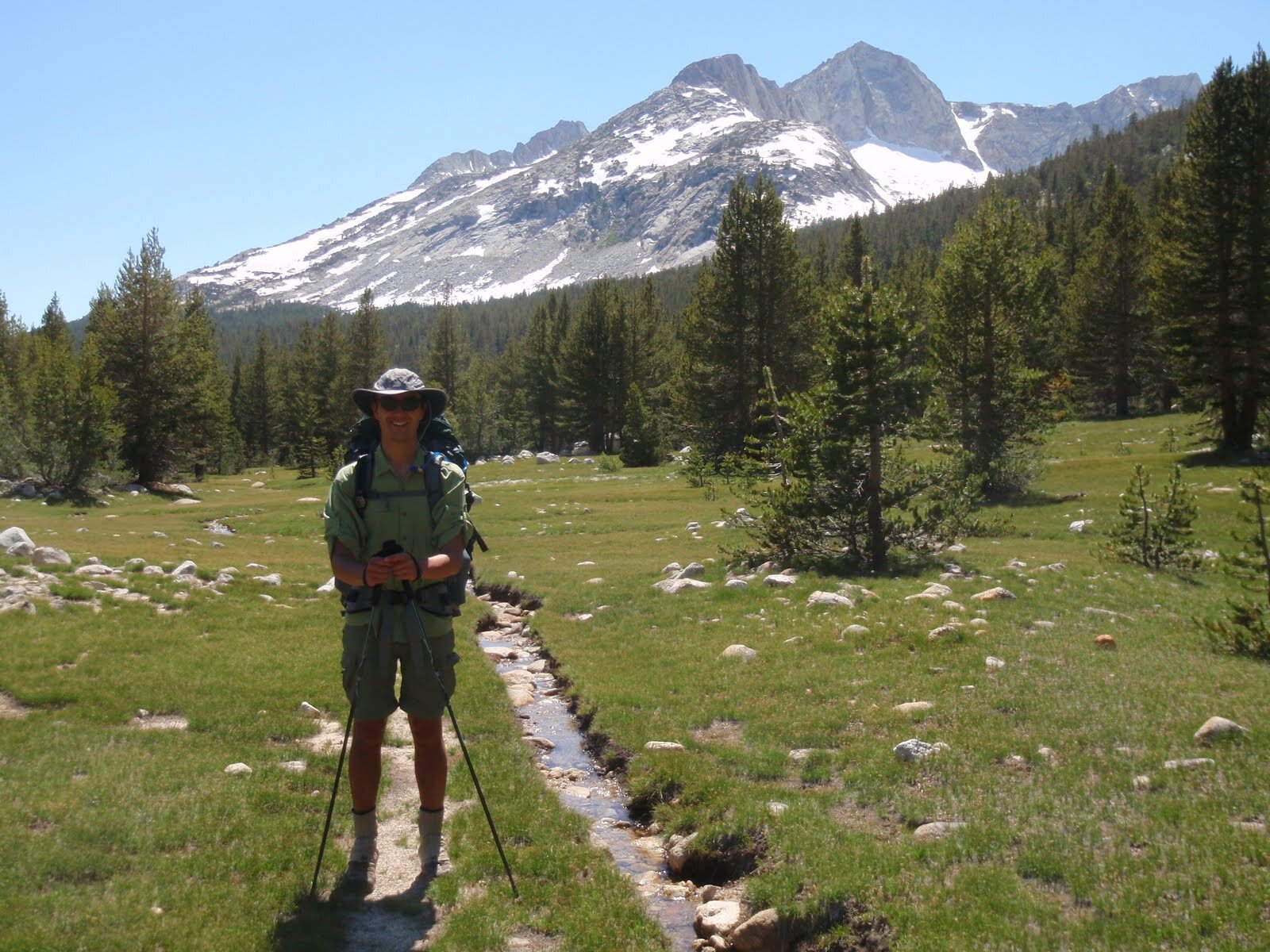
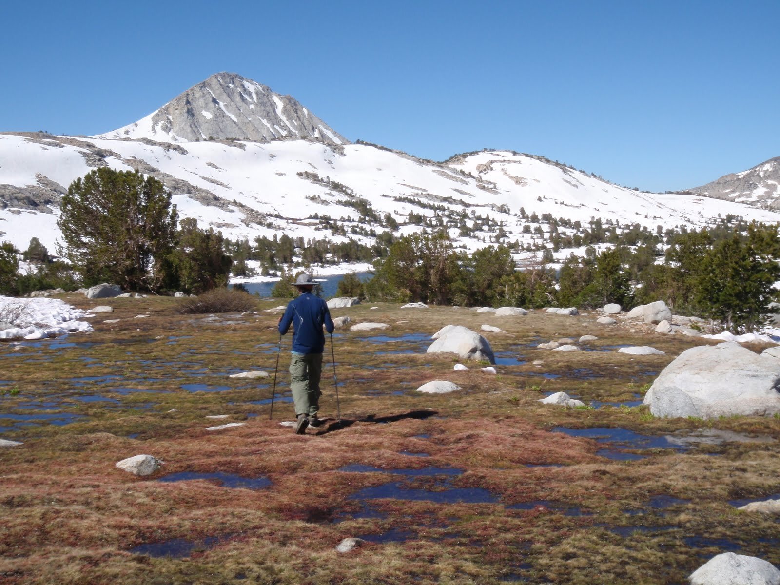
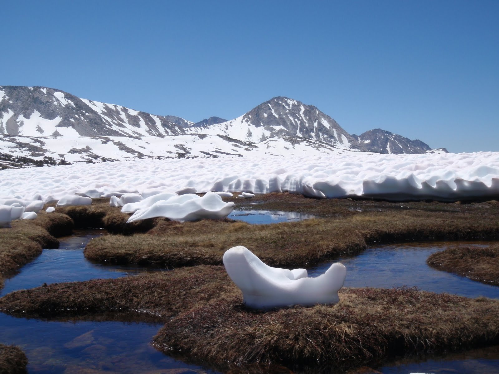
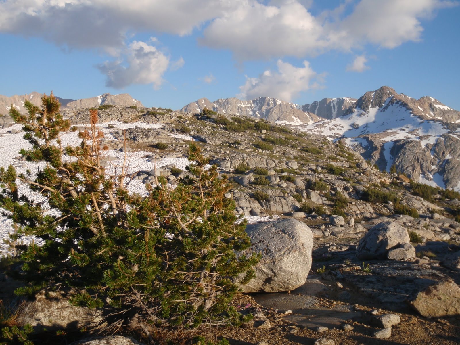
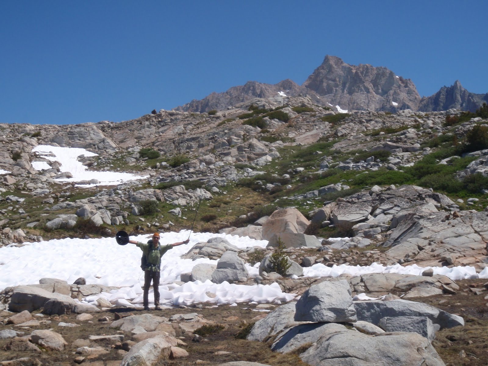
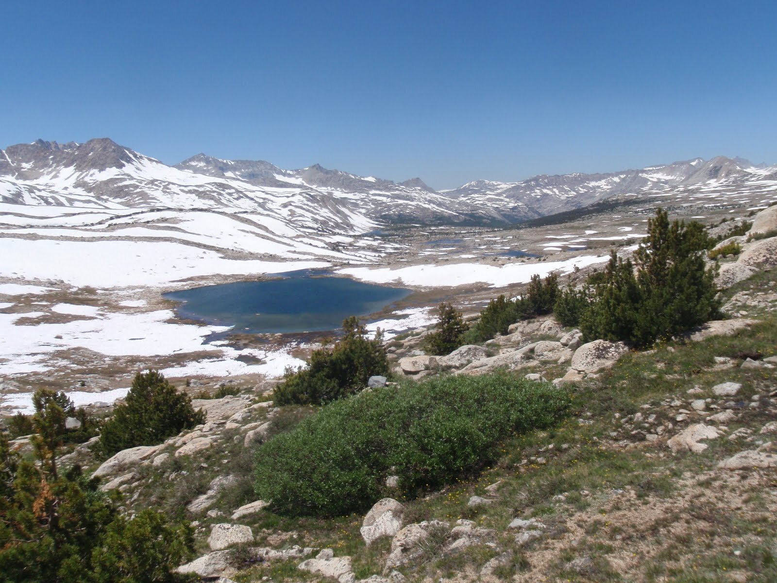
We didn’t know quite what to expect from backcountry conditions. Piute Pass was still snowed in, so the horse packers at North Lake hadn’t yet been out. We found thick snow drifts as low as Loch Leven on the east side approach to Piute Pass. Boot prints making a dirty path across the snow at Piute Pass let us know others had been here, but we wouldn’t see another soul today. Cresting Piute Pass we saw a snowy wonderland stretching down below us. Glacier Divide rose majestically to the south, Mt. Humphreys presided over his own snowy basin to the north, and the canyon of Piute Creek dropped away in between. We decided to start in Humphrey’s Basin, a spot we’ve meant to explore but hadn’t yet visited. Upper Desolation Lake was frozen solid, but we found a decent campsite between boulders and patches of snow at Lower Desolation Lake. We settled into a spot by mid-afternoon and used the time to explore this lovely basin with panoramic views of the Glacier Divide. Our only company was a few very bold marmots near our campsite. We always store our food in bear canisters when hiking in the Sierra Nevada, but when we headed out on our afternoon wander we also made sure to tuck away our backpack straps. We have learned the hard way that these cute but pesky creatures will gnaw away at salt-soaked foam or material, and had no interest in losing our gear. We slept under the stars, and what a show they put on.

Day 2 STATS: 9.4 miles | 2826' Climb | 1339' Descent | 1487’ net elevation gain
Day 3: Lower Desolation Lake (~11,200’) to Elba Lake, the long way around
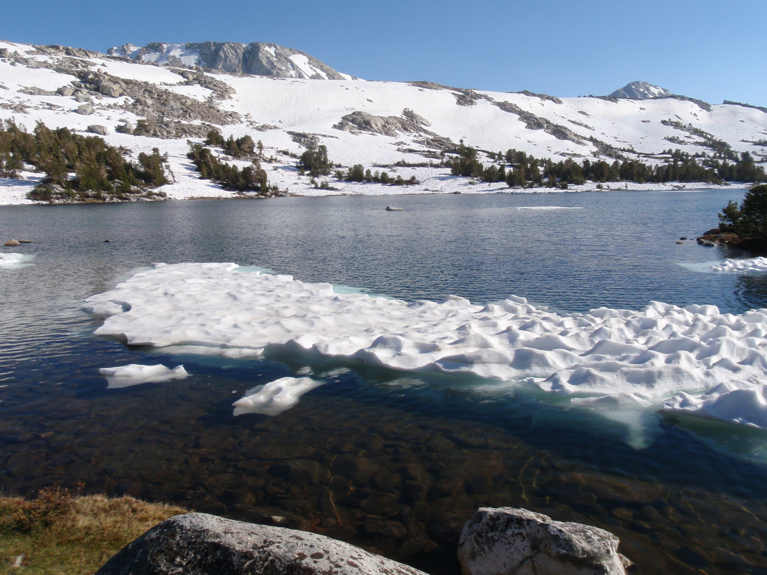
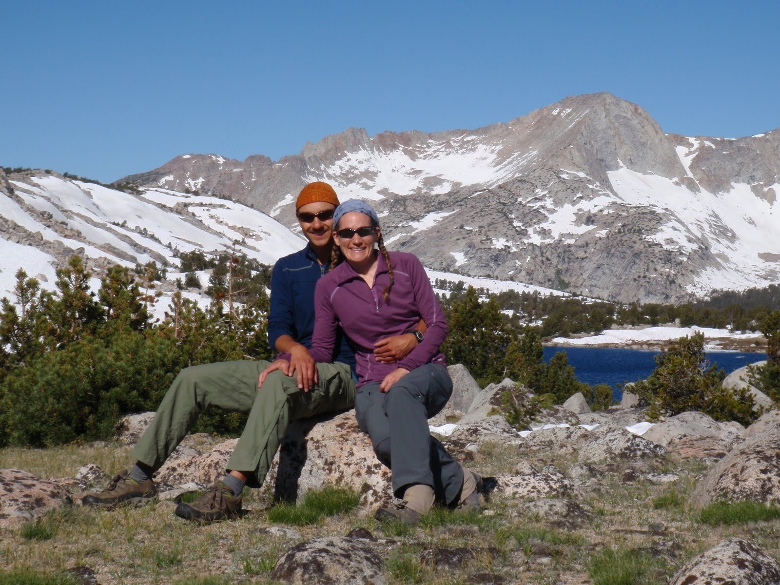
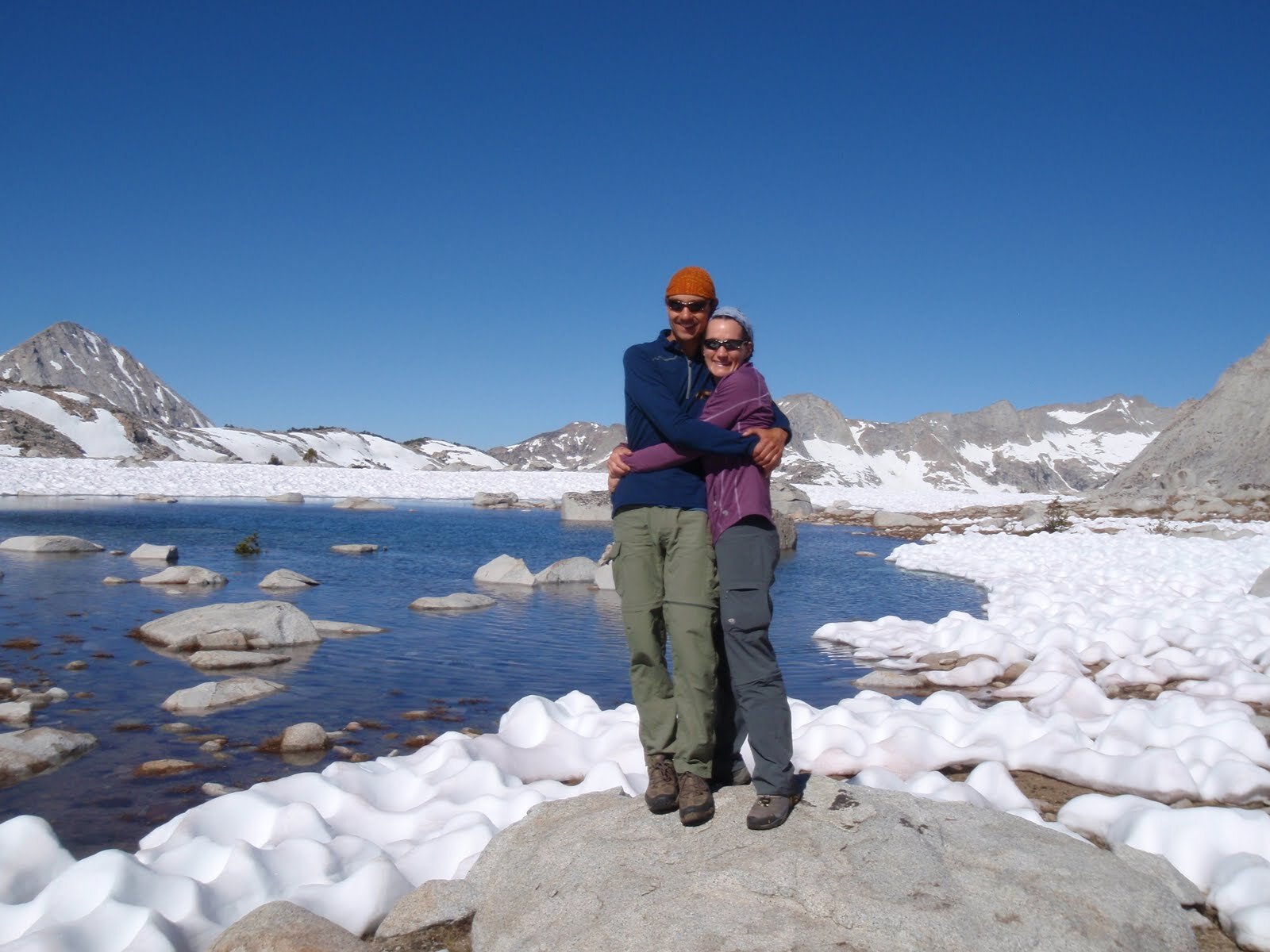
Once Lamarck Col / Alpine Col were officially out of the question for this trip, we thought that we might still explore some of the lakes & cirques on the north side of Glacier Divide on this trip. One look at the terrain from Piute Pass put that out of our minds. Even if we had gear for extensive snow travel in steep terrain, we suspected there would be very few safe crossings of snowmelt-swollen Piute Creek. We decided to drop down the Piute Pass trail to get a better look, and our suspicions were confirmed. The water roared and crashed over rocks & debris, and there was no way we’d be finding many (any?) comfortable spots to ford this time of year. Since we had the usually heavy-trafficked trail to ourselves, we decided to follow it all the way to Hutchinson Meadow, then turn up French Canyon towards Pine Creek Pass. At the lower elevations we found muddy trail surrounded by brilliant green grass, and didn’t see another soul. We enjoyed great views of Merriam Peak as we walked through French Canyon. Having not been to Humphreys Basin before, and having ditched our plan to hike all the way across it, we decided to at least checkk out the other side and climbed up to Elba Lake to spend the night. It sits a bit lower than the Desolation Lakes and was no longer frozen, but it still held floating ice floes. Instead of Glacier Divide views, we were treated to a panorama across French Canyon to Merriam, Royce, and Feather Peaks. Despite the spongy soil, we managed to find a small dry-ish spot to throw out a groundcloth and 2 sleeping bags, and enjoyed another chilly night under a million stars.
Day 3 STATS: 15.5 Miles | 2066' Climb | 2345' Descent | 279’ Net elevation loss
Day 4: Elba Lake (~10,915’) to Piute Creek below Ramona Lake outlet, via Pine Creek Pass
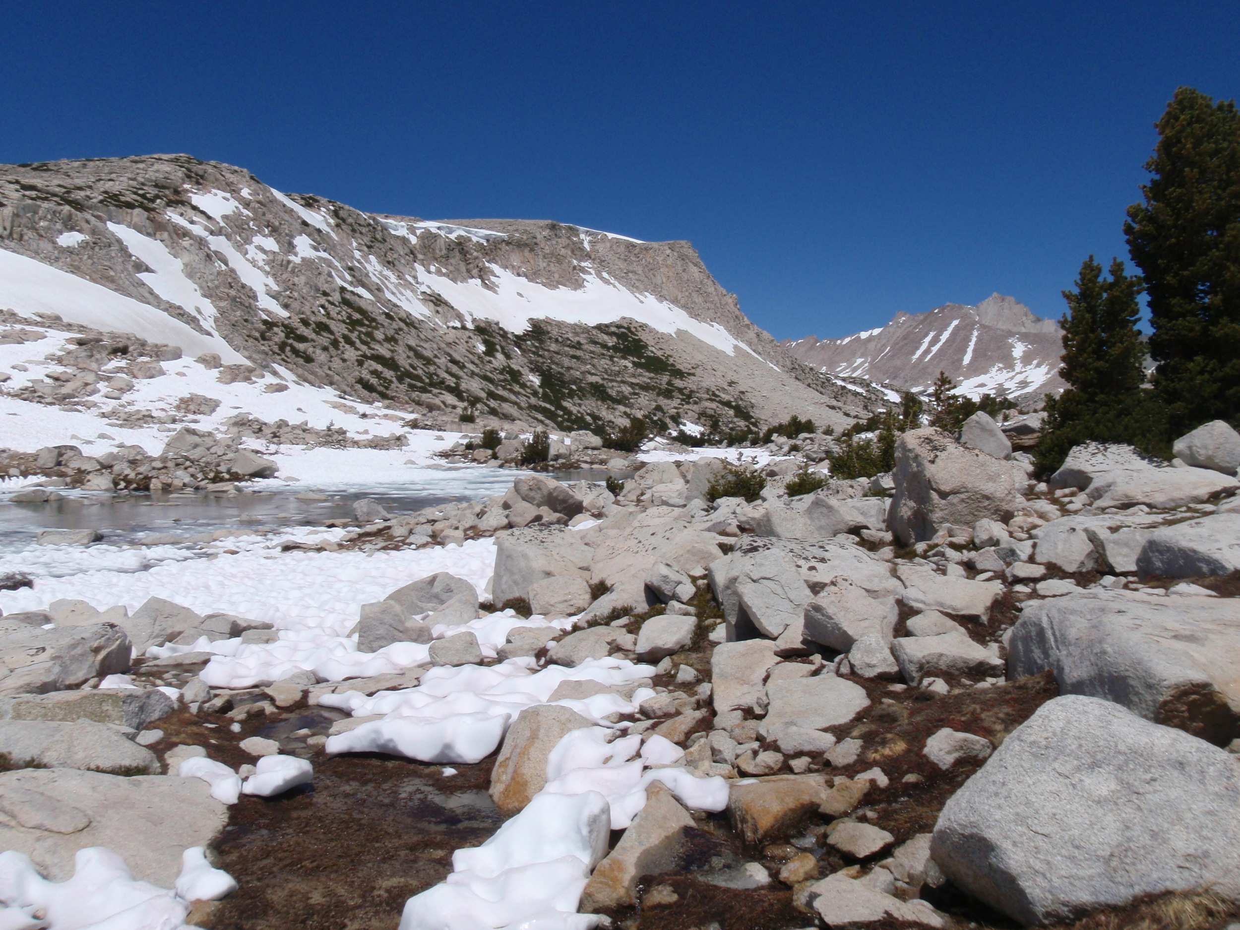
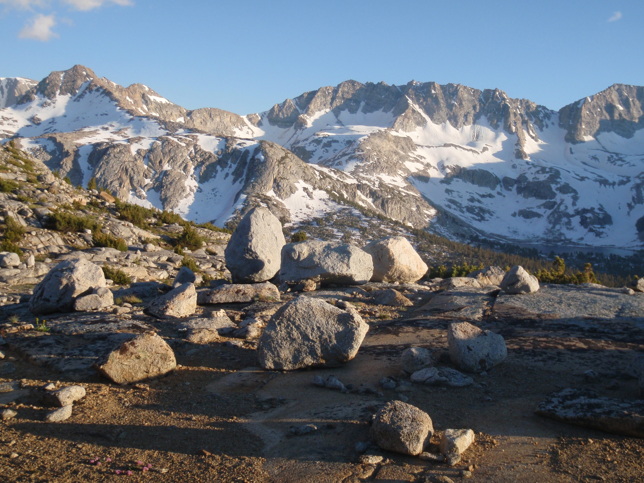
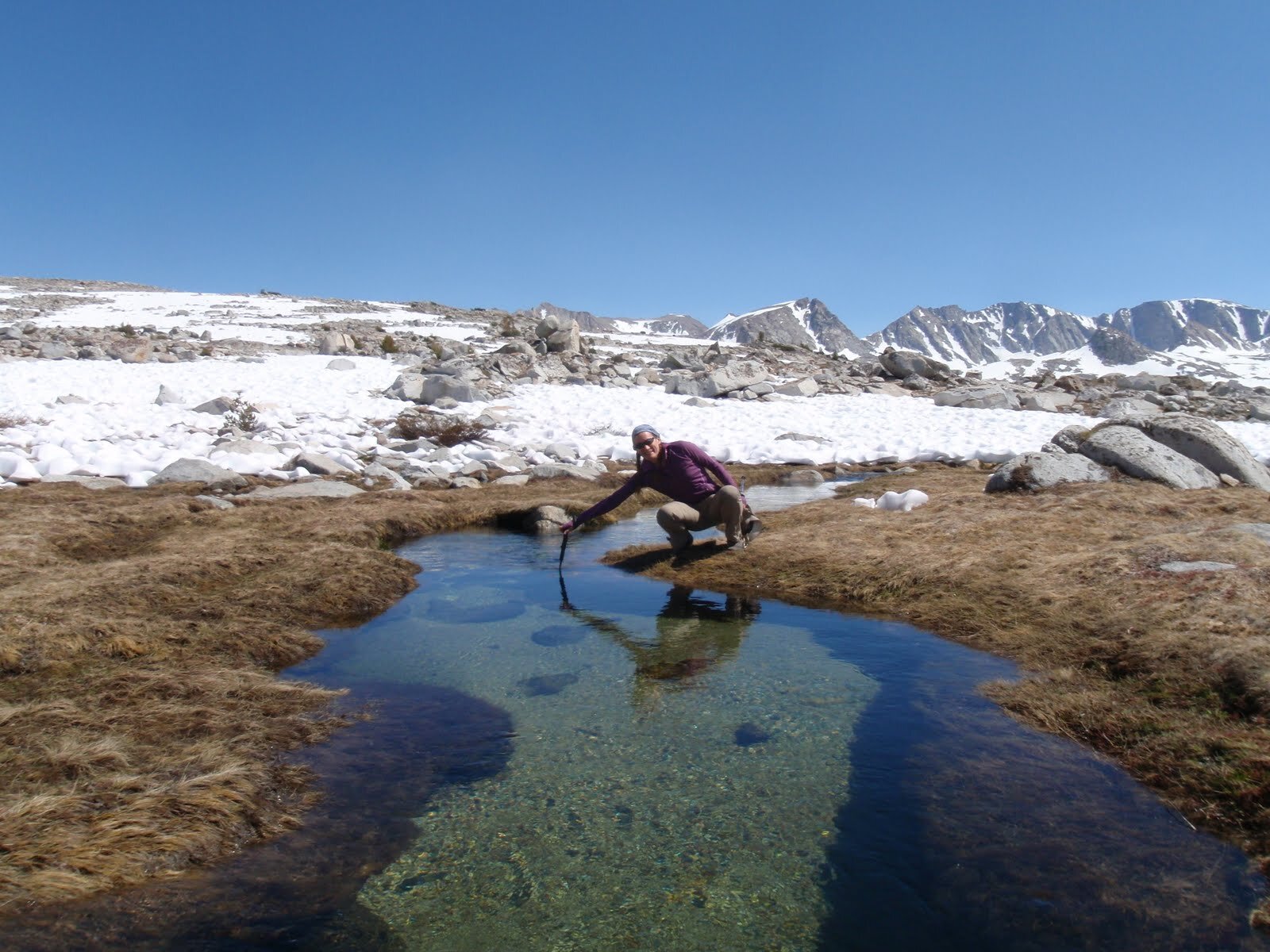
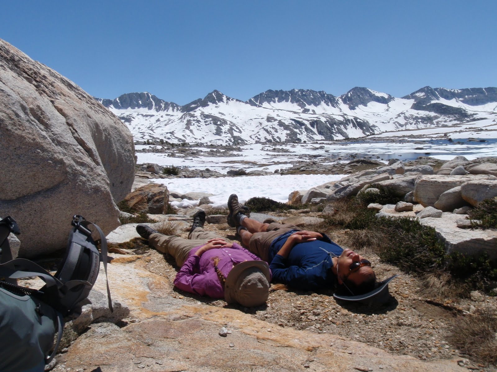
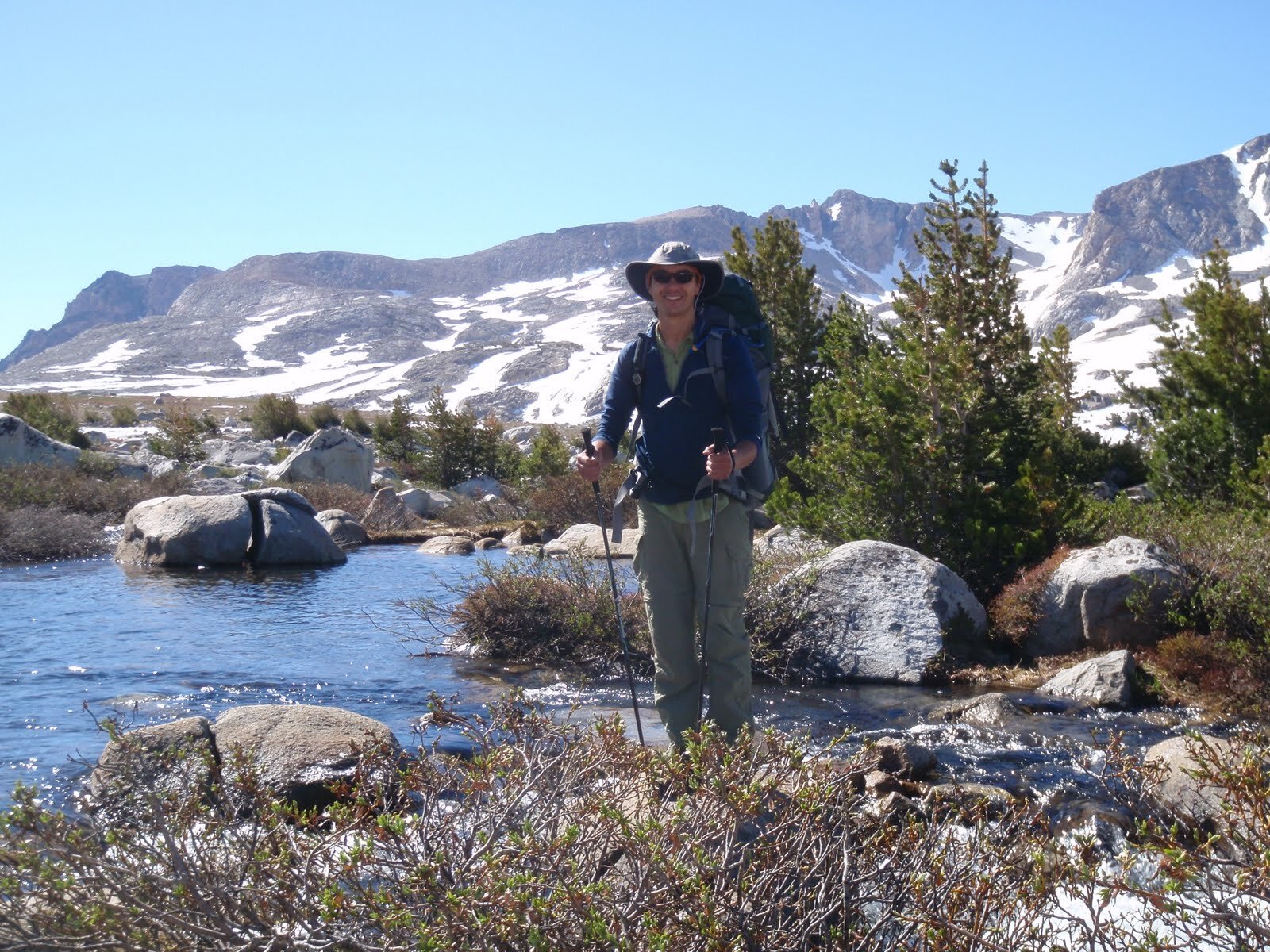
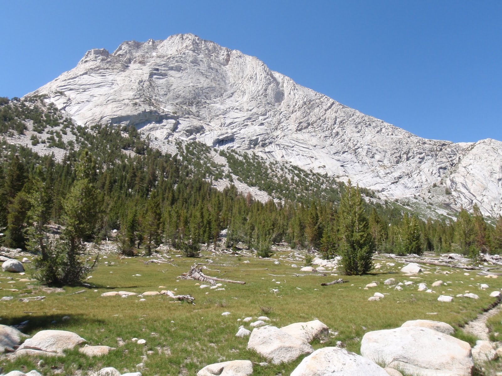
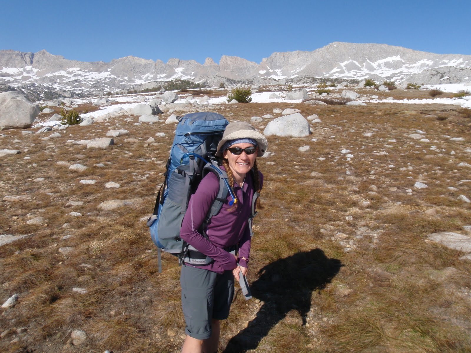
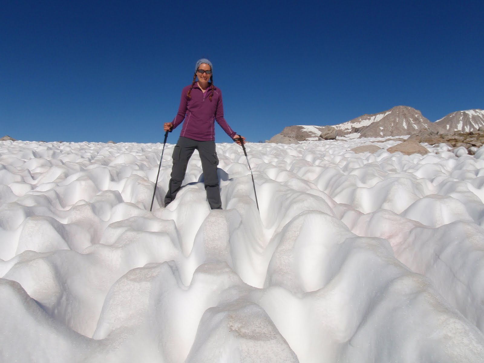
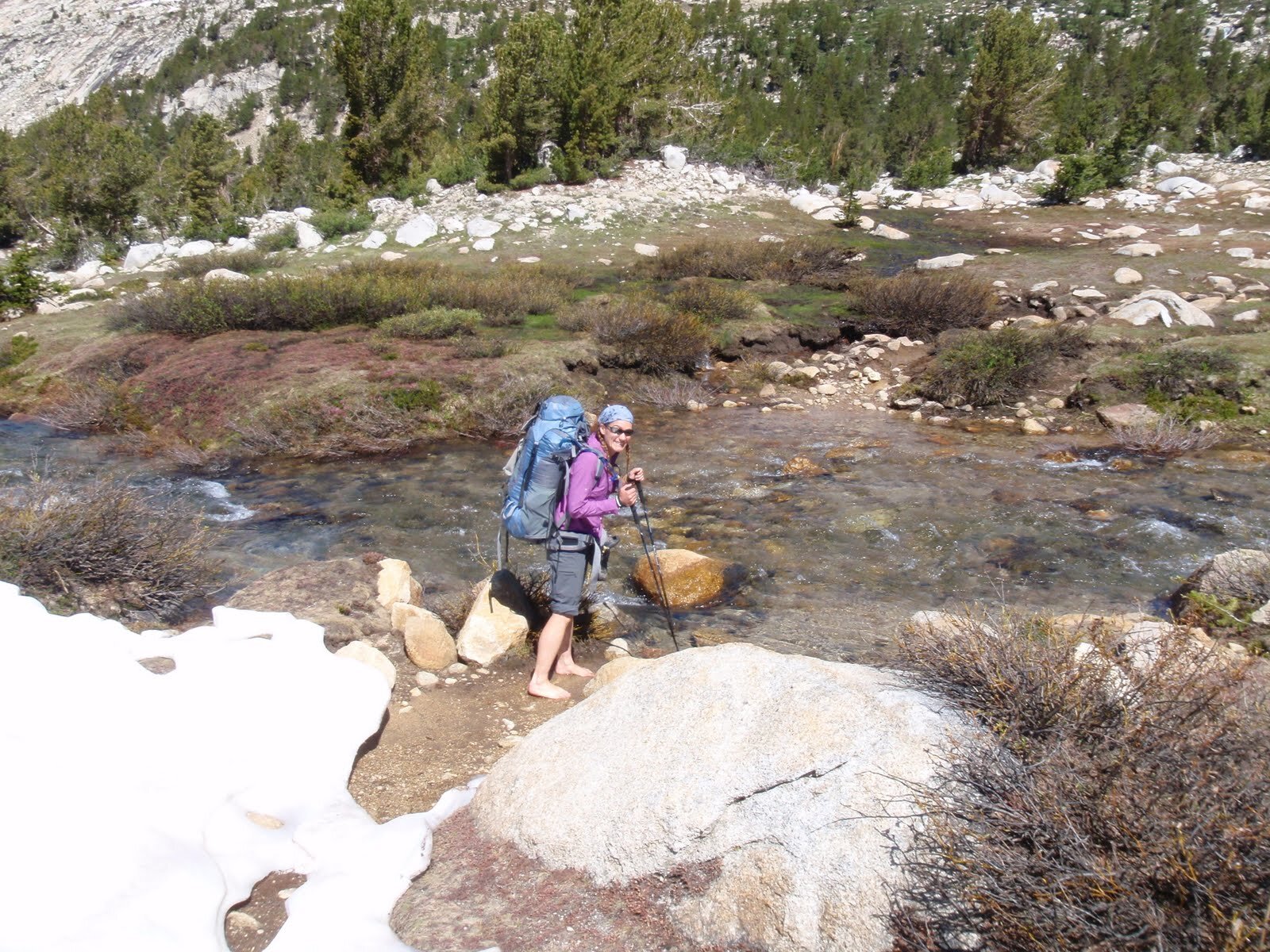
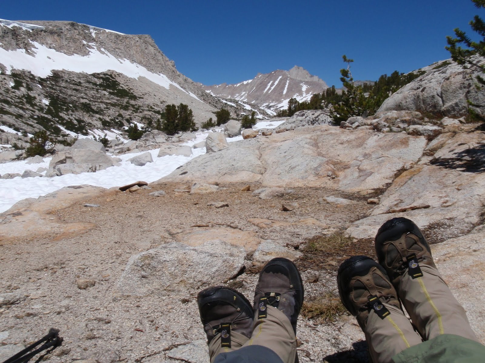
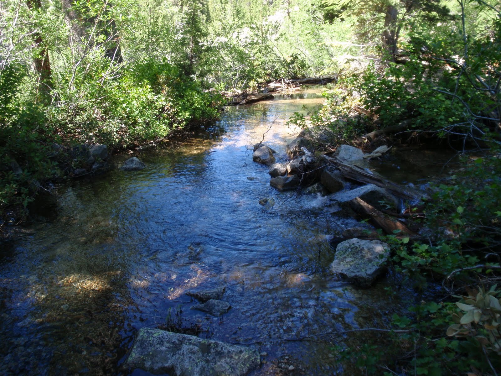
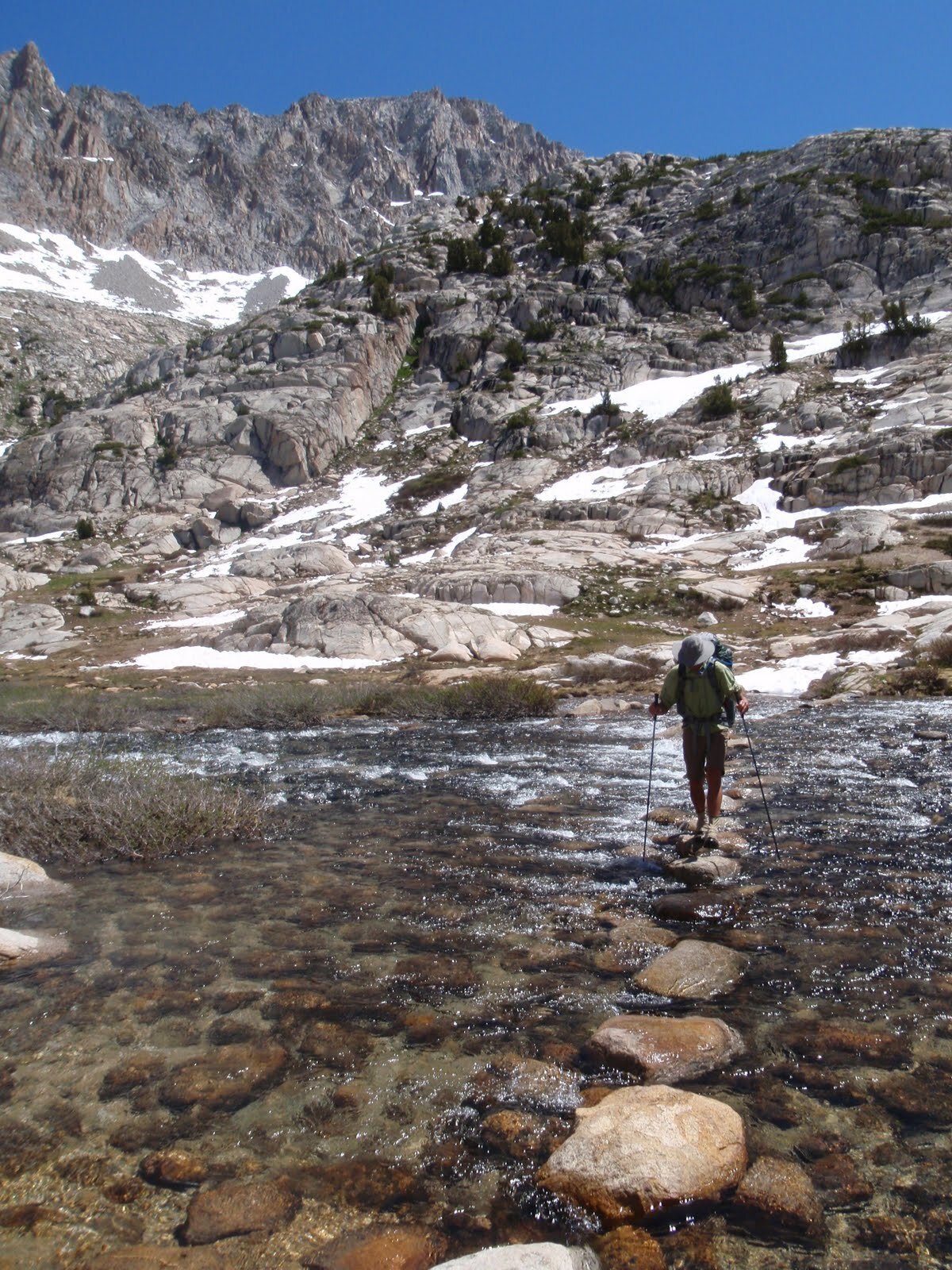
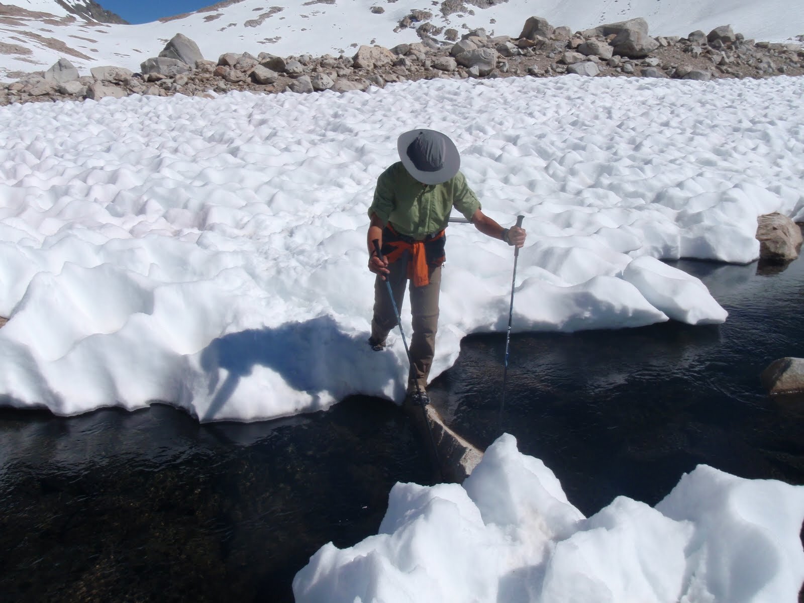
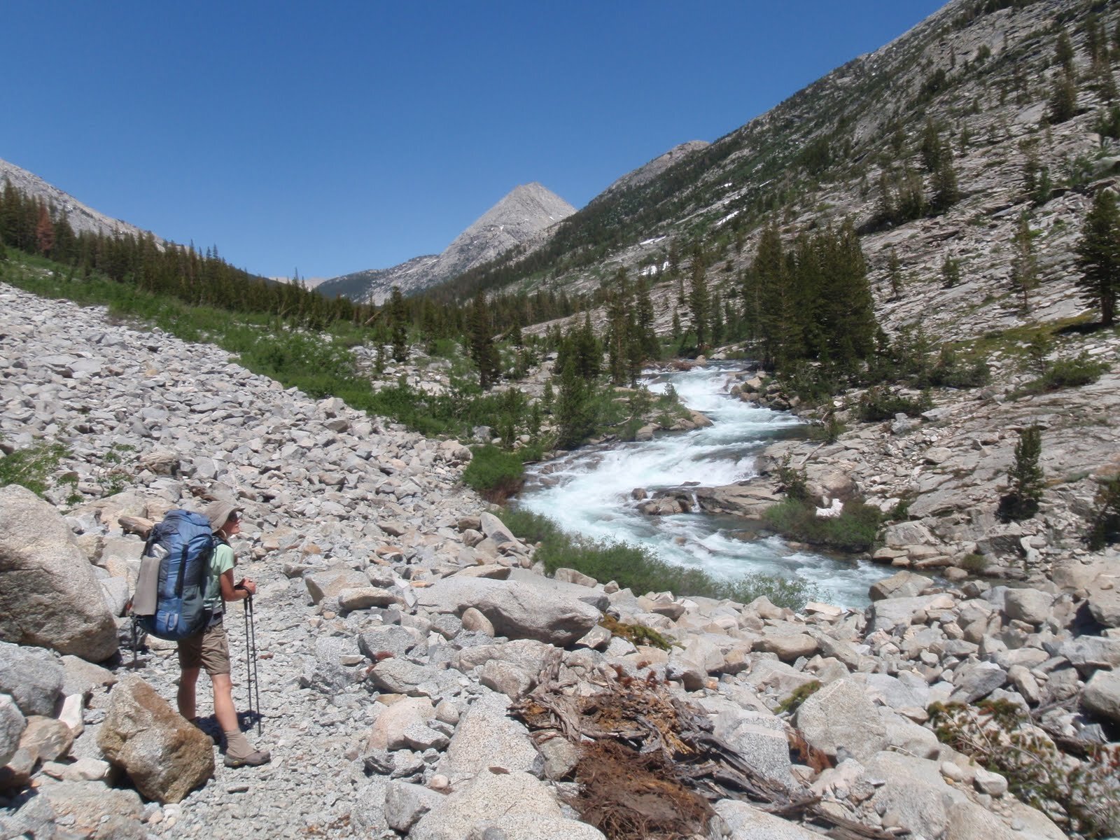
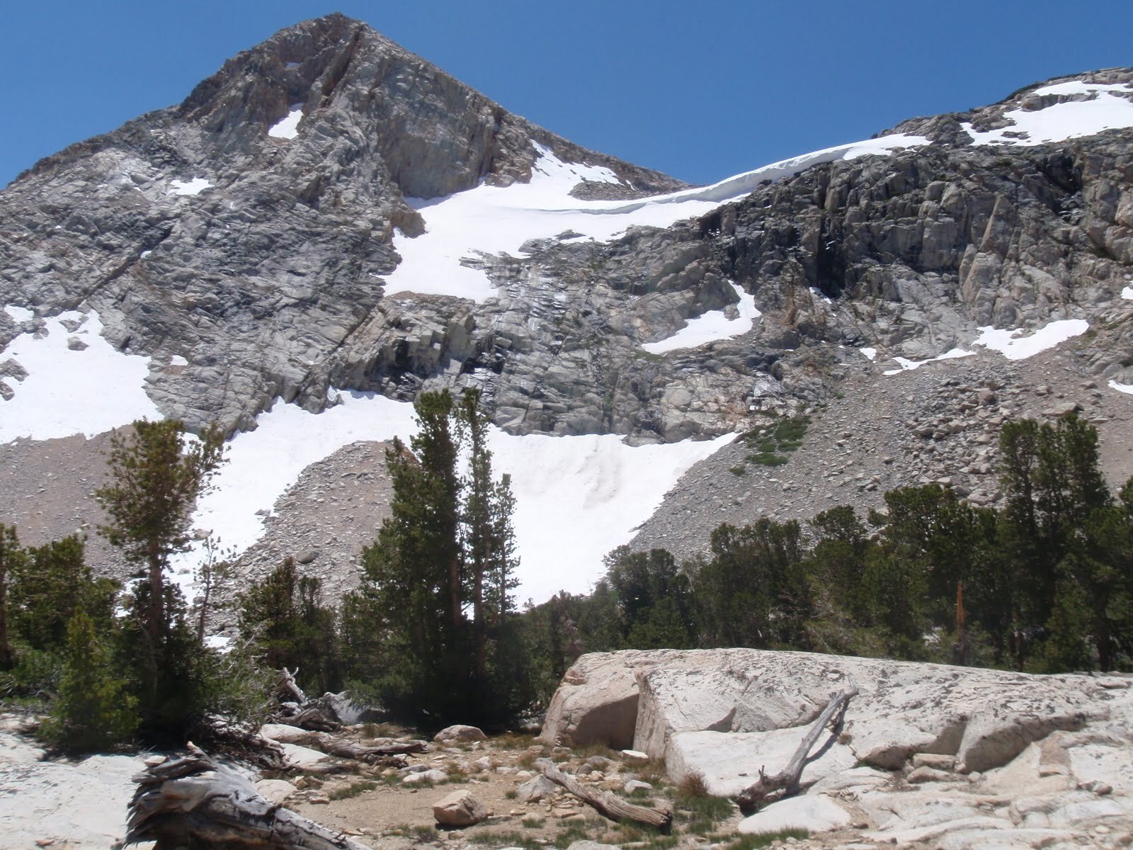
We were in love with Humphreys Basin after our short introduction, so we spent the morning exploring its northern reaches. Right around Elba Lake the ground was wet and marshy, but as we got towards L and Steelhead Lakes it was covered in deeply suncupped snow. The sky was brilliant blue on a perfect High Sierra day. We thought the Royce/Merriam/Feather Peaks area would probably be too deep in snow for comfort, but decided to head towards Pine Creek Pass and see how far we could get in that direction. We dropped back out of Humphrey’s Basin and forded a VERY COLD French Canyon Creek. On such a warm day, it’s surprising just how cold a little fresh snowmelt can feel. The trail quickly disappeared under the snow, and we followed the general path across sun-dried boulders, sun-cupped snowfields, and along gravelly snowmelt rivulets towards the pass. We lounged and snacked on a broad dry mound of granite with views of Bear Creek Spire before heading back down to French Canyon. We didn’t have much of a plan, but decided to continue along the theme of exploring the areas we had originally planned to pass through. That meant the next stop would be Darwin bench, above the Evolution Valley. It was more than a day’s walk away, but we got a good start getting past Hutchinson Meadow and camping along Piute Creek (now a raging river) a ways below the outlet from Ramona Lake. As we dropped in elevation we were no longer surrounded by snow, but there was plenty of snowmelt. Every streamlet was swollen with extra water, and we couldn’t help but get our feet wet at several crossings. East Pinnacles Creek, usually just a trickle to step over, required some balance as we crossed a decent-sized creek on slippery logs. We didn’t have any trouble, but in underscored our decision to route-plan around potential water crossings. Once again, we saw no others in the wilderness today.
Day 4 Stats: 13.7 Miles | 1201' Climb | 2876' Descent | 1675’ net elevation loss
Day 5: Piute Creek (~9,425’) to McGee Canyon
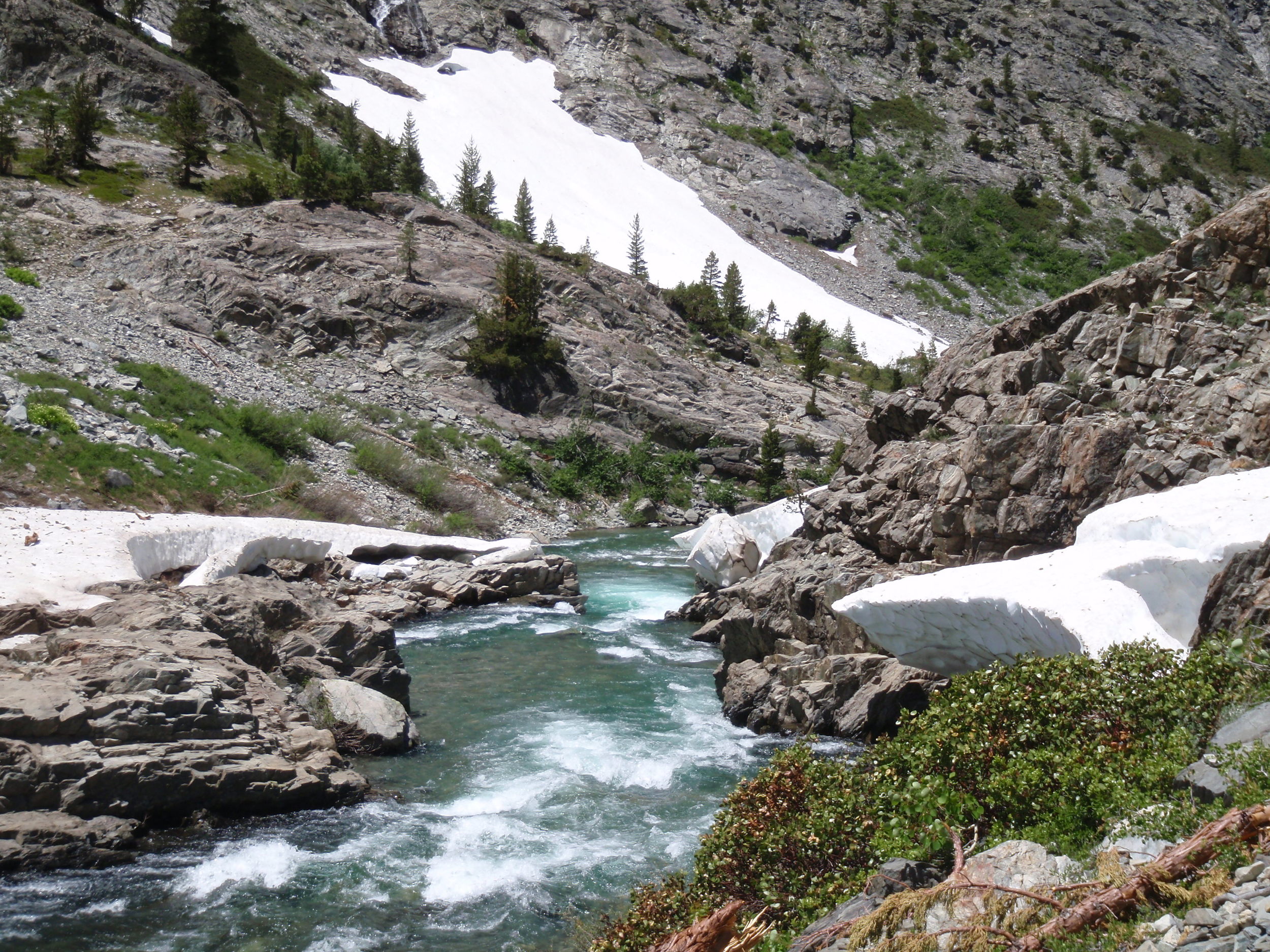
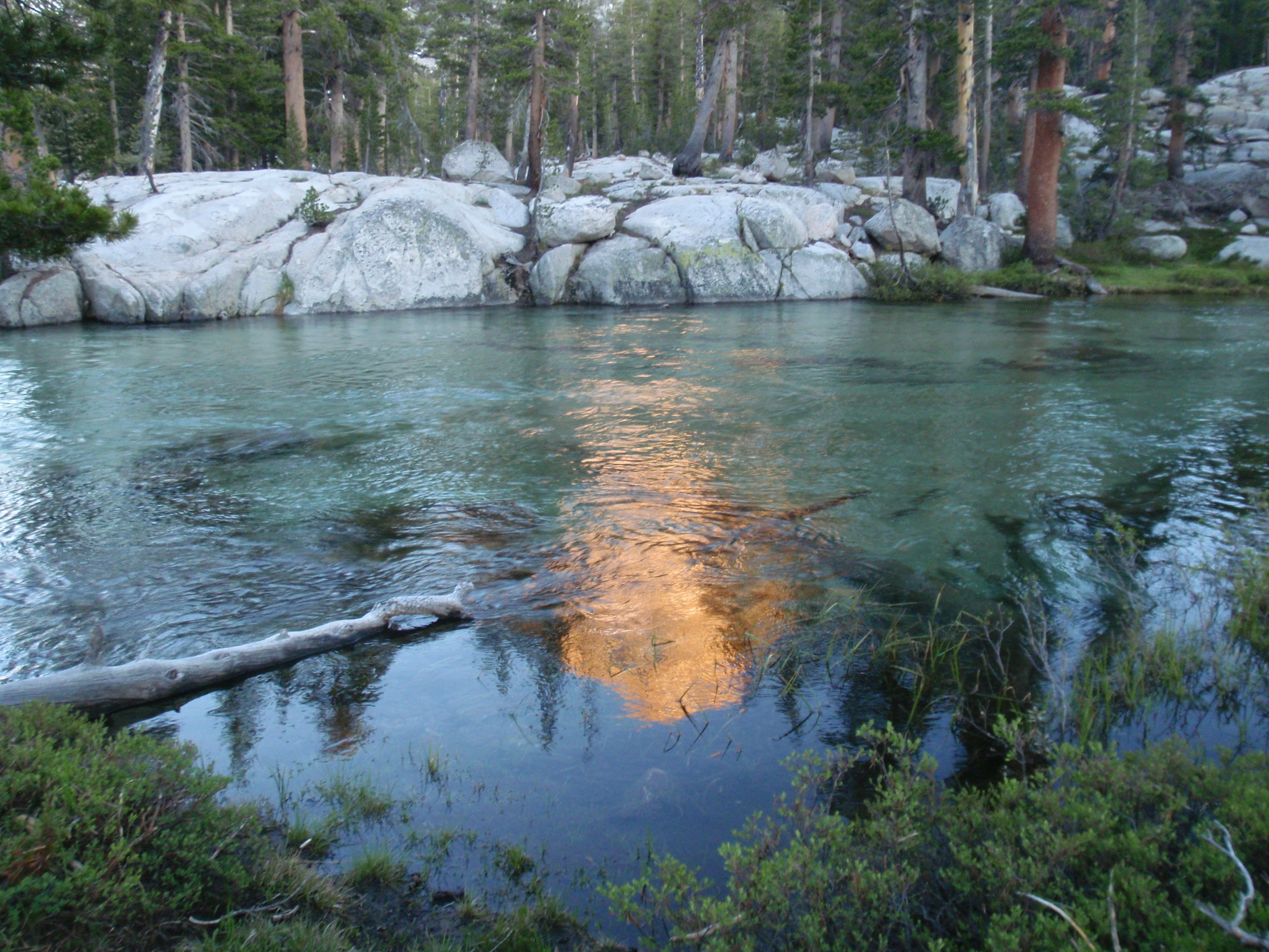
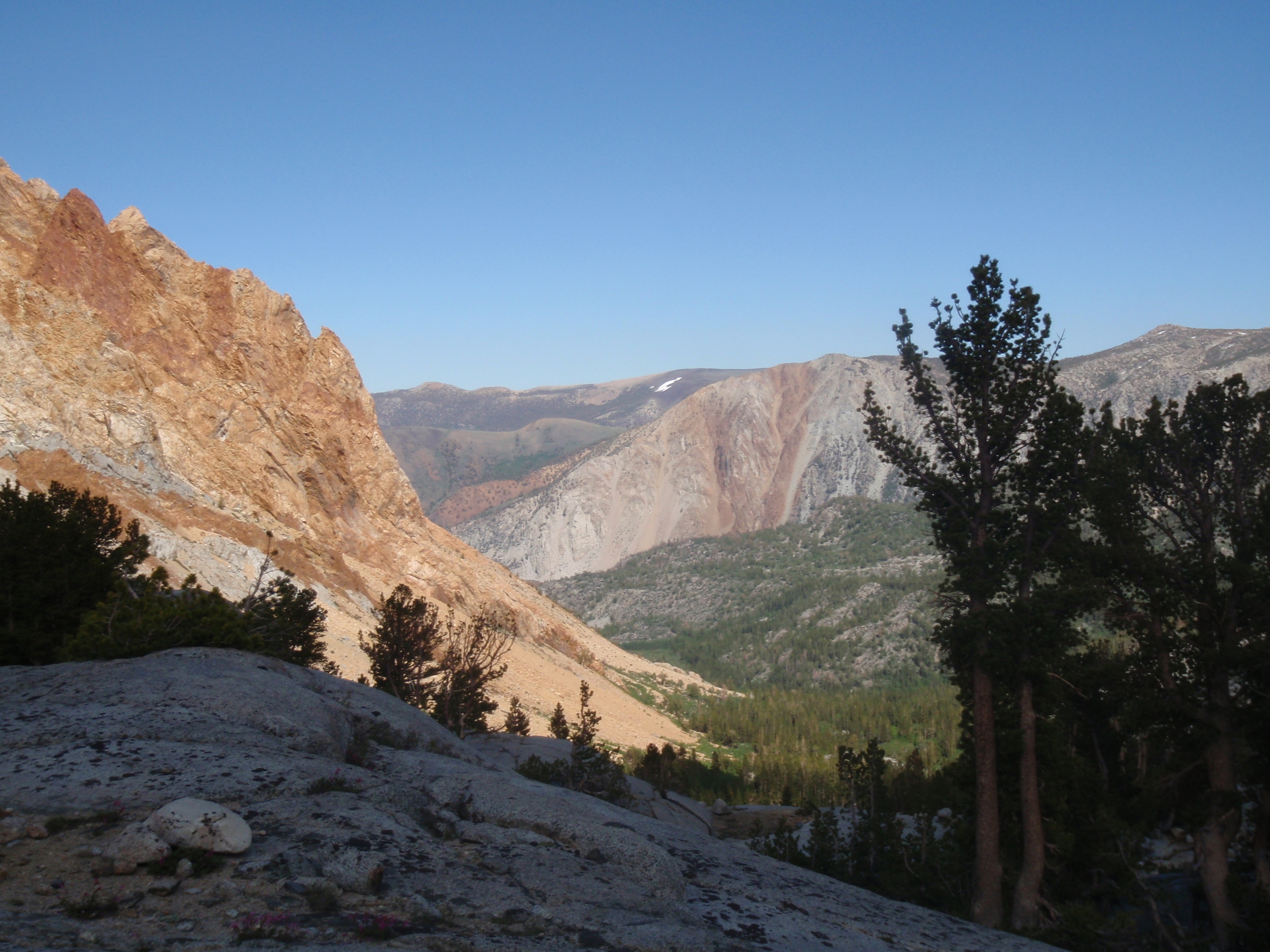
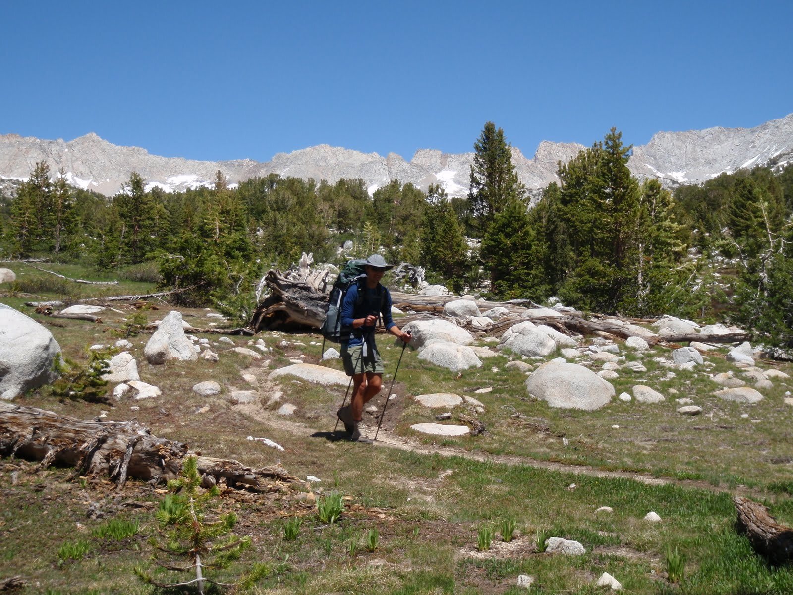
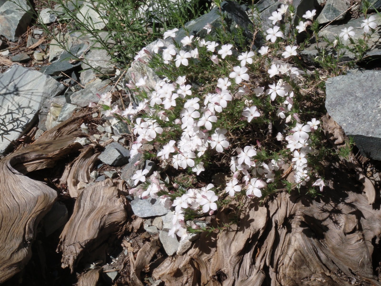
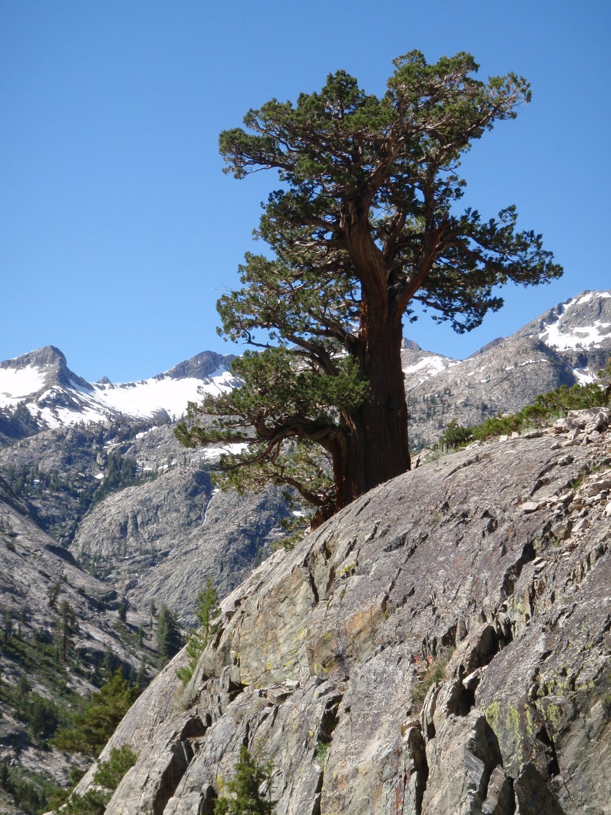
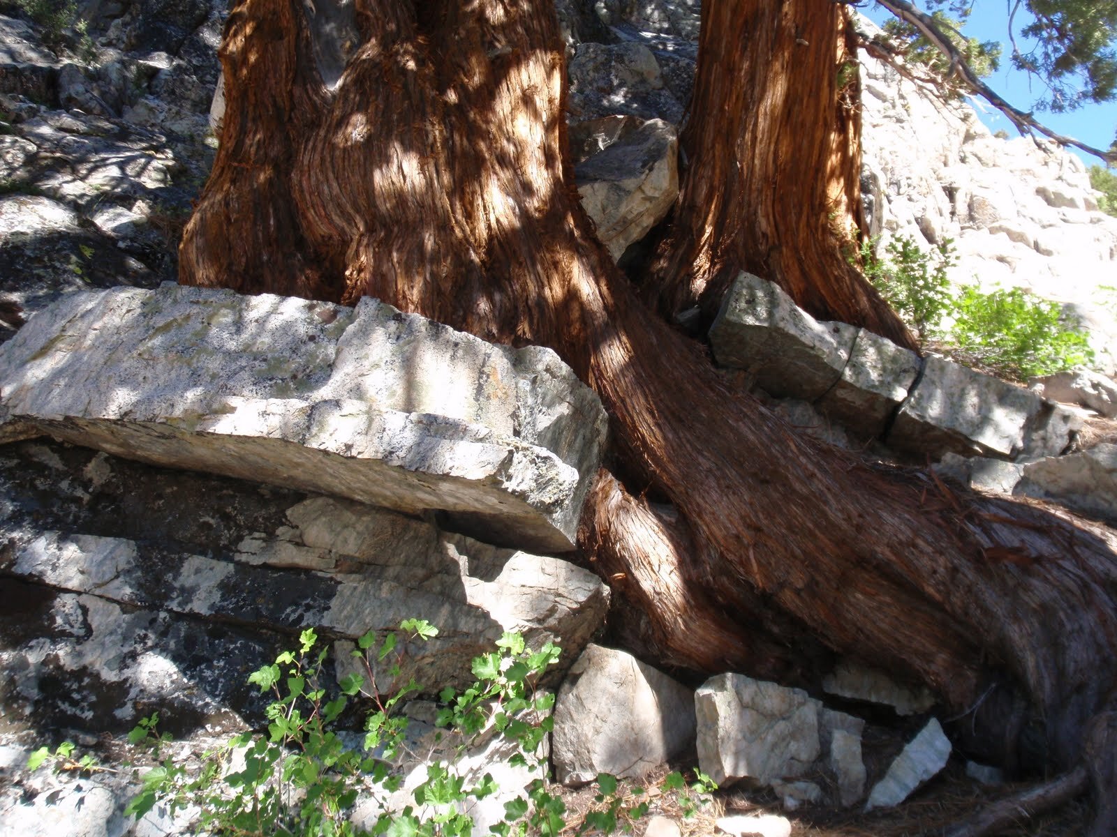
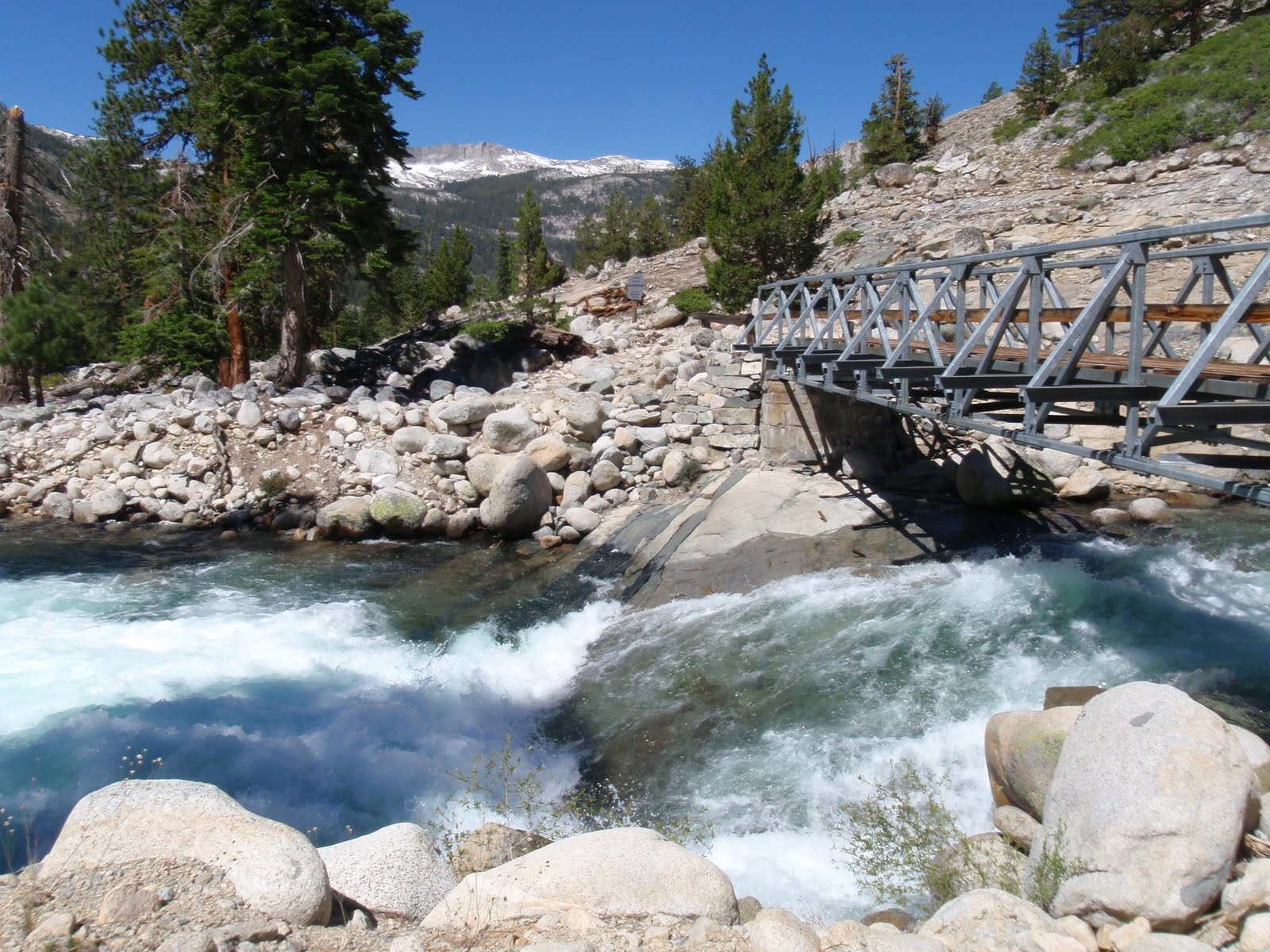
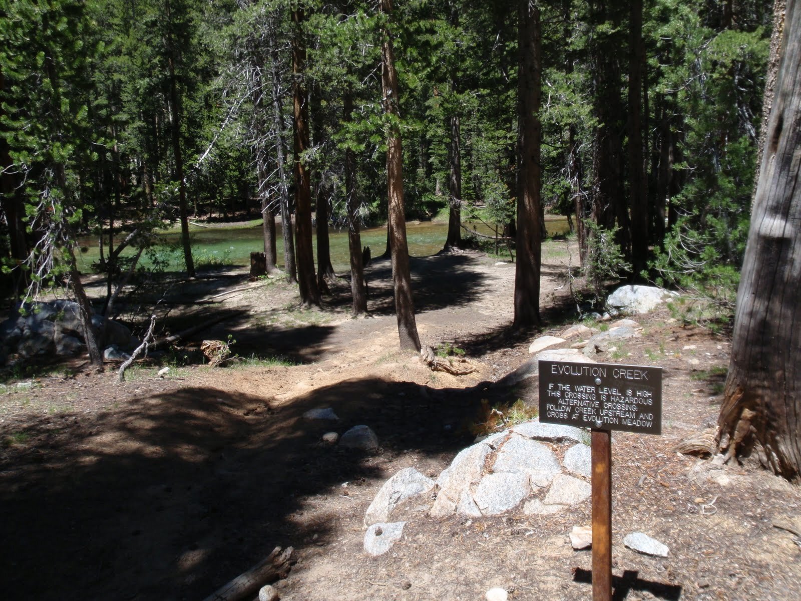
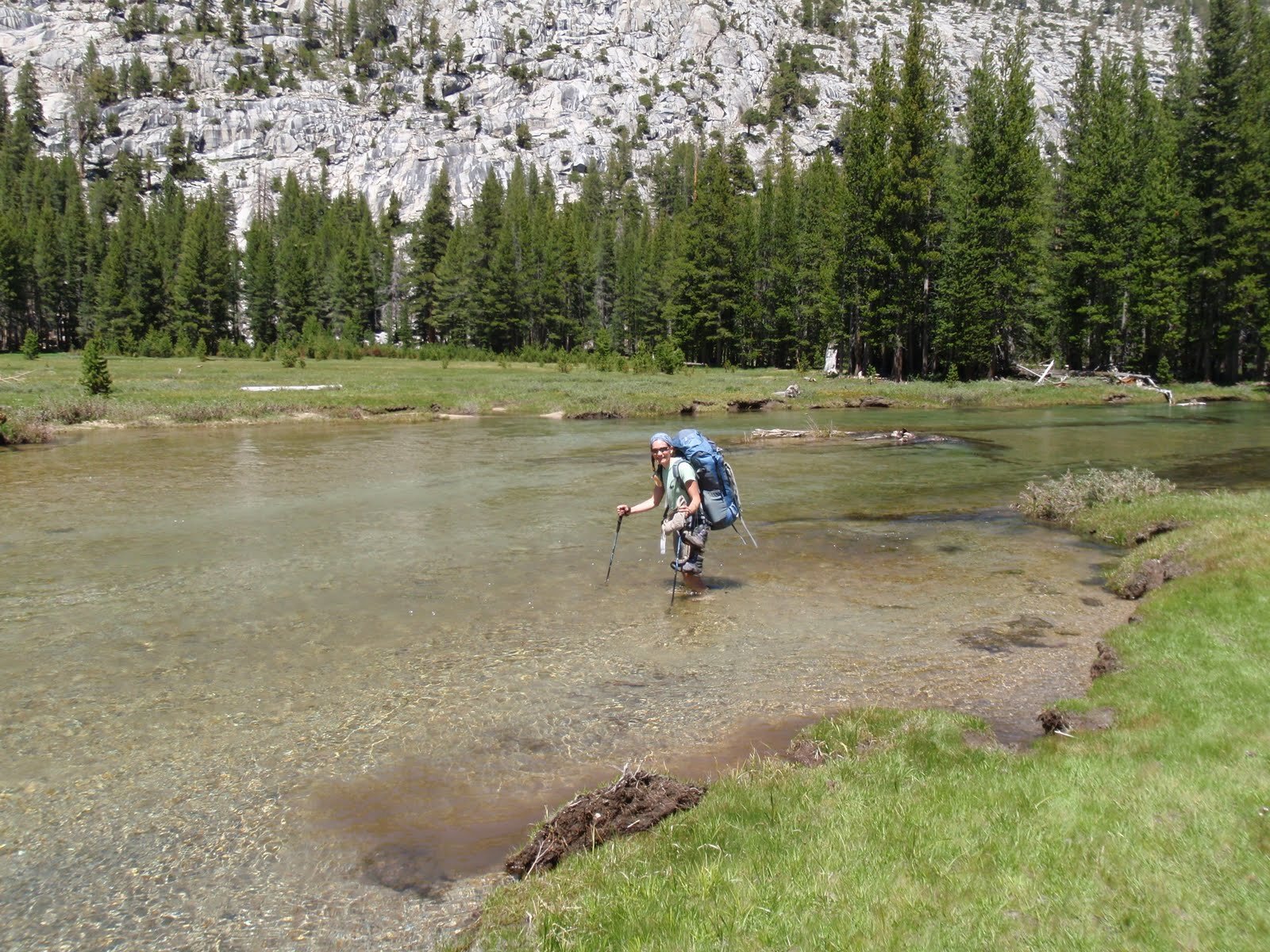
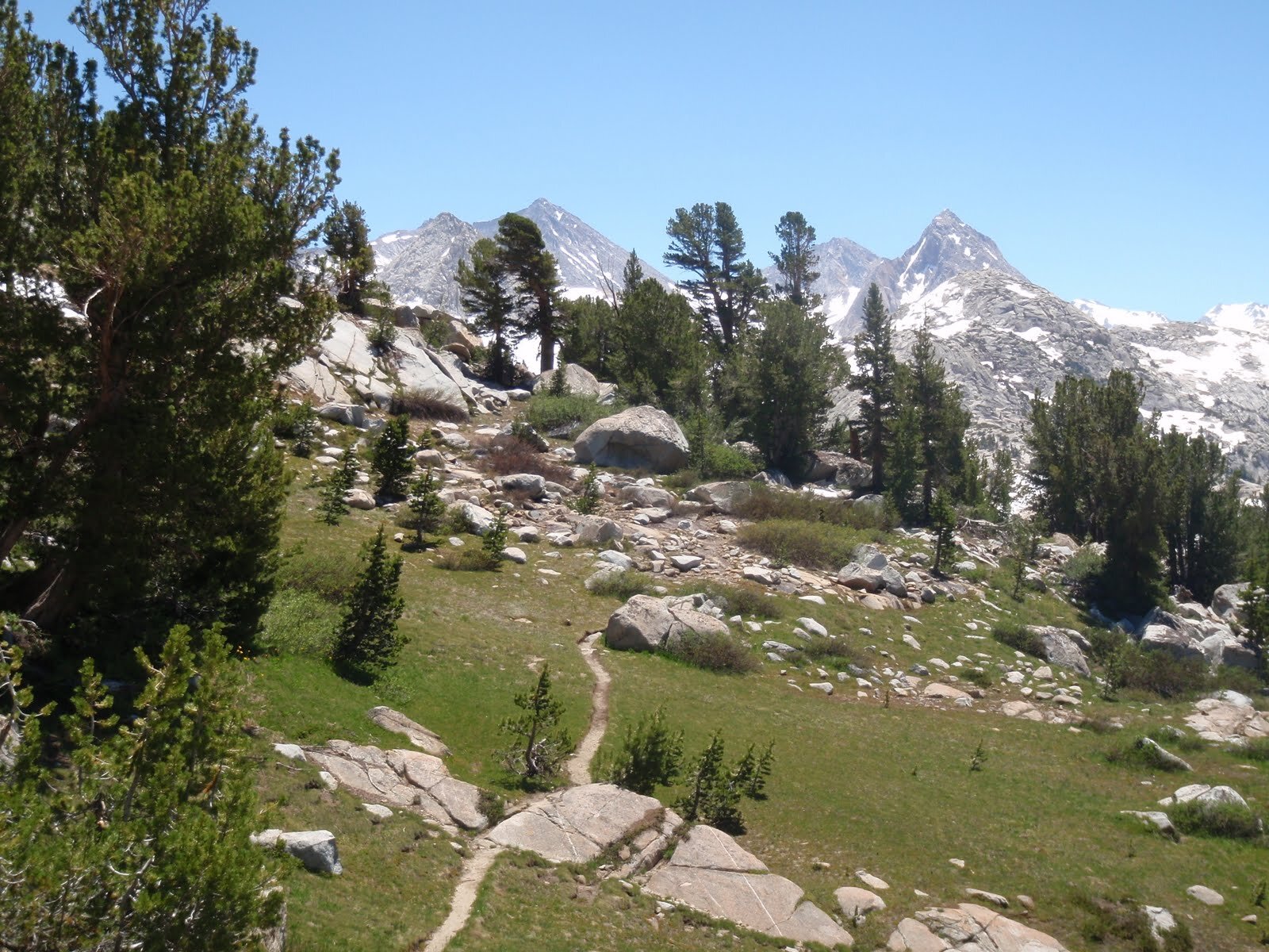
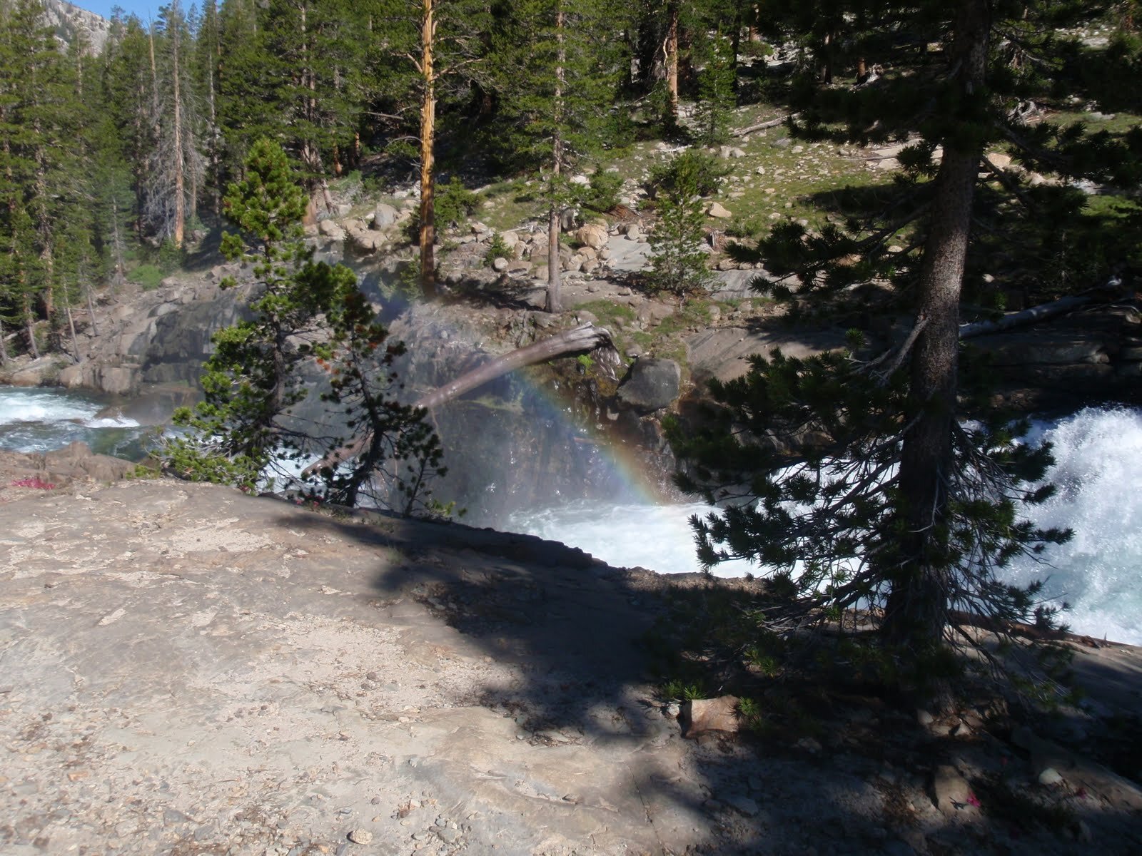
It was positively warm as soon as the sun hit us in the lower elevations of Piute Canyon. It wasn’t long before we reached West Pinnacles Creek. It crosses the trail along much steeper terrain than its partner to the east, and once again we took care in crossing this rushing stream that in normal years might not even seem worthy of a name. After that little project we were able to relax & enjoy the warm sun hitting the granite walls of the canyon around us. The western juniper is the predominant tree along the trail here, and there are some fantastic specimens. Wildflowers, too, were out in force and it felt like we had traveled a full season from the snow and frozen lakes of Humphreys Basin. We reached the junction of the JMT/PCT with the Piute Creek trail, and have never been so thankful for a sturdy bridge over what was now a roiling river (Piute Creek), just before it crashed into the upper reaches of the mighty San Joaquin River. We followed the JMT/PCT eastward along the rocky ledges above the river. Its waters are a deep aqua green, contrasting perfectly with the pale rock through which it has cut a deep gorge. In some areas, the rapids were so loud we had to raise our voices to have a conversation. We wondered what the Evolution Creek crossing would be like, and discussed whether we might need a Plan D? E? F? Although we put in decent mileage today, it was all fairly easy walking and we decided to climb out of the canyon up to the lip of Evolution Basin today. Once we got past the steep lower switchbacks, the trail was wet with spray from the river crashing down to the canyon below. We reached the spot where the trail crosses Evolution Creek (a ford), and for the first time the warning sign seemed to apply to us. The creek didn’t look to be moving fast and didn’t seem deeper than either of our waists, but it was far wider than we’ve ever seen it. We know how cold fresh cold snowmelt can be, and how close the drop-off to the canyon below is to the crossing point. We decided to heed the warning and continue to Evolution Meadow to ford the creek. Having never taken this approach, we didn’t realize that there is no trail on this side of the creek. We ended up bushwhacking through overgrown, marshy/soggy/muddy meadow & forest much further than we expected to go - it was only 0.5 mile, but felt like 5. Eventually we reached the meadow and waded through the slop towards the shore of the creek. It was even wider here, but a much safer ford due to slower water and a much longer distance before the drop-off. We took off our shoes and rolled up our pants. The water was still surprisingly cold in the warm late-afternoon sun, and it was thigh-deep well before we got to the middle. We were glad we hadn’t attempted the lower ford. After the overgrown bushwhack, we were also glad to be back on trail, even if it was still muddy. We ogled the classic Evolution Meadow vista, and chatted about where to camp for the night. We settled on someplace up-valley, but before the climb to the lakes. We ran into a handful of hikers, and a TON of blowdown logs. In one area it was as though a bomb had gone off - we couldn’t even locate the trail and there were stretches of >0.25mi where we just walked from one fallen log to the other, never touching the ground. It was getting late as we reached the mouth of McGee Canyon. We decided to veer off trail here and see if we could locate a dry-ish spot to hold our tent. We were in luck, and settled in for the night next to a granite slab with stellar views of the Hermit.
Day 5 Stats: 17.4 Miles | 3252' Climb | 2682' Descent | 570’ net elevation gain
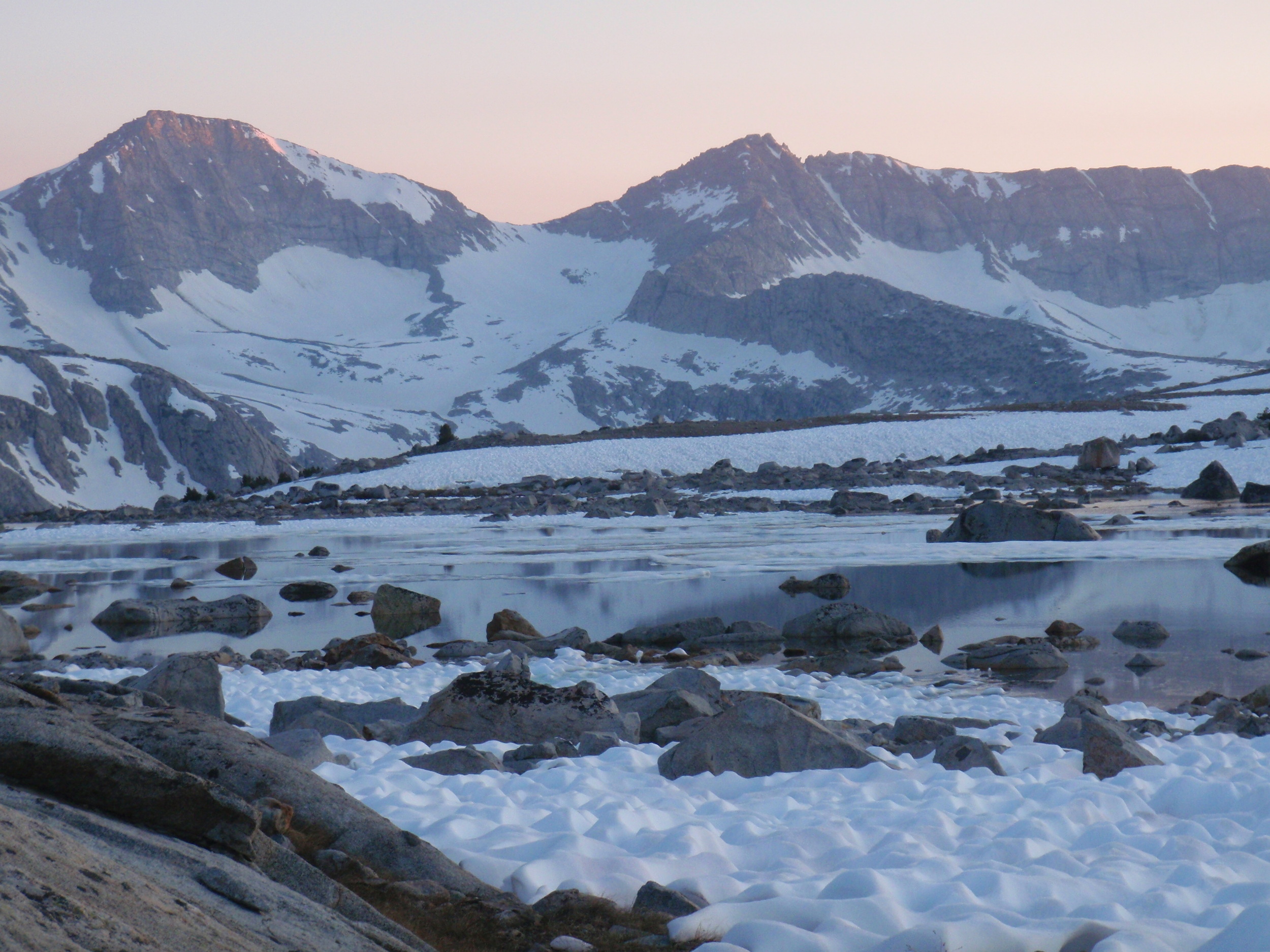
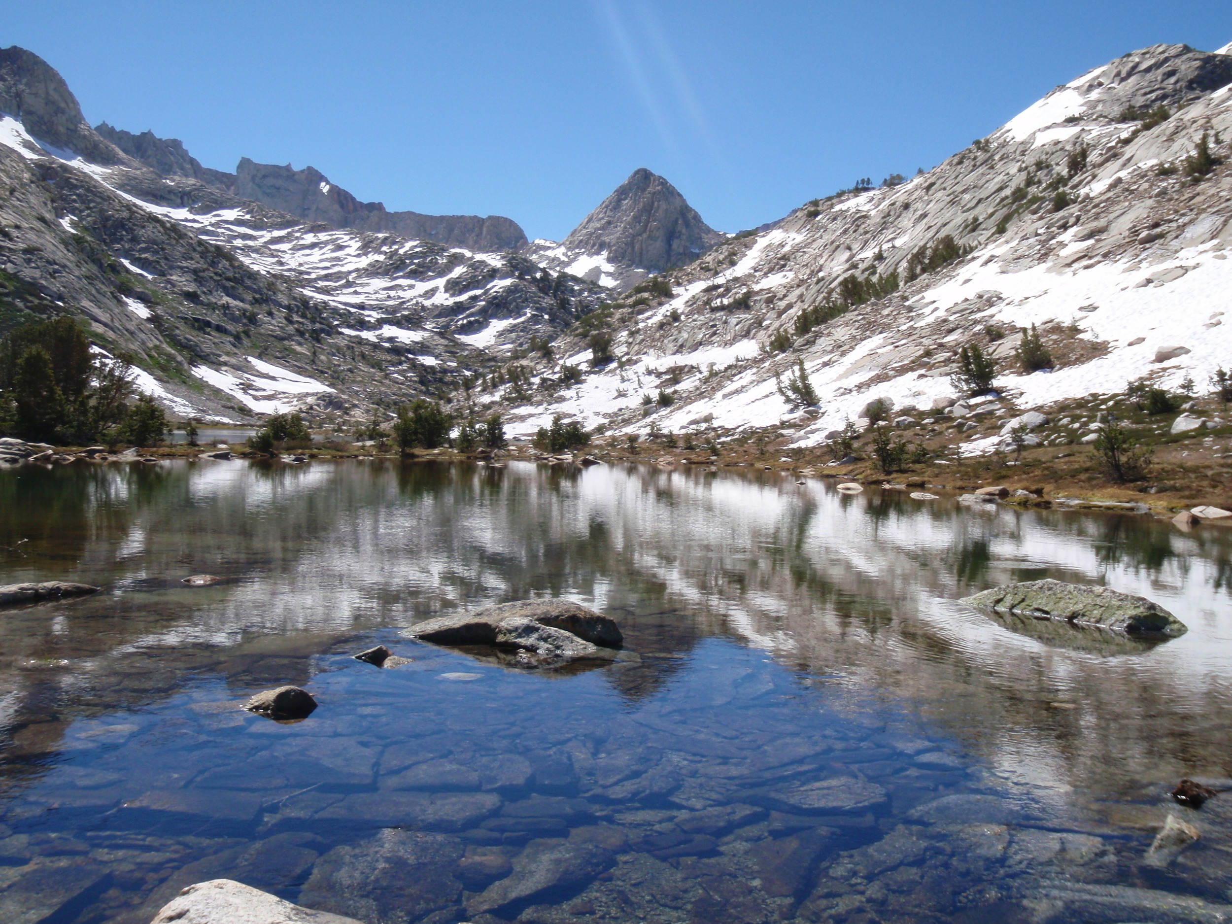
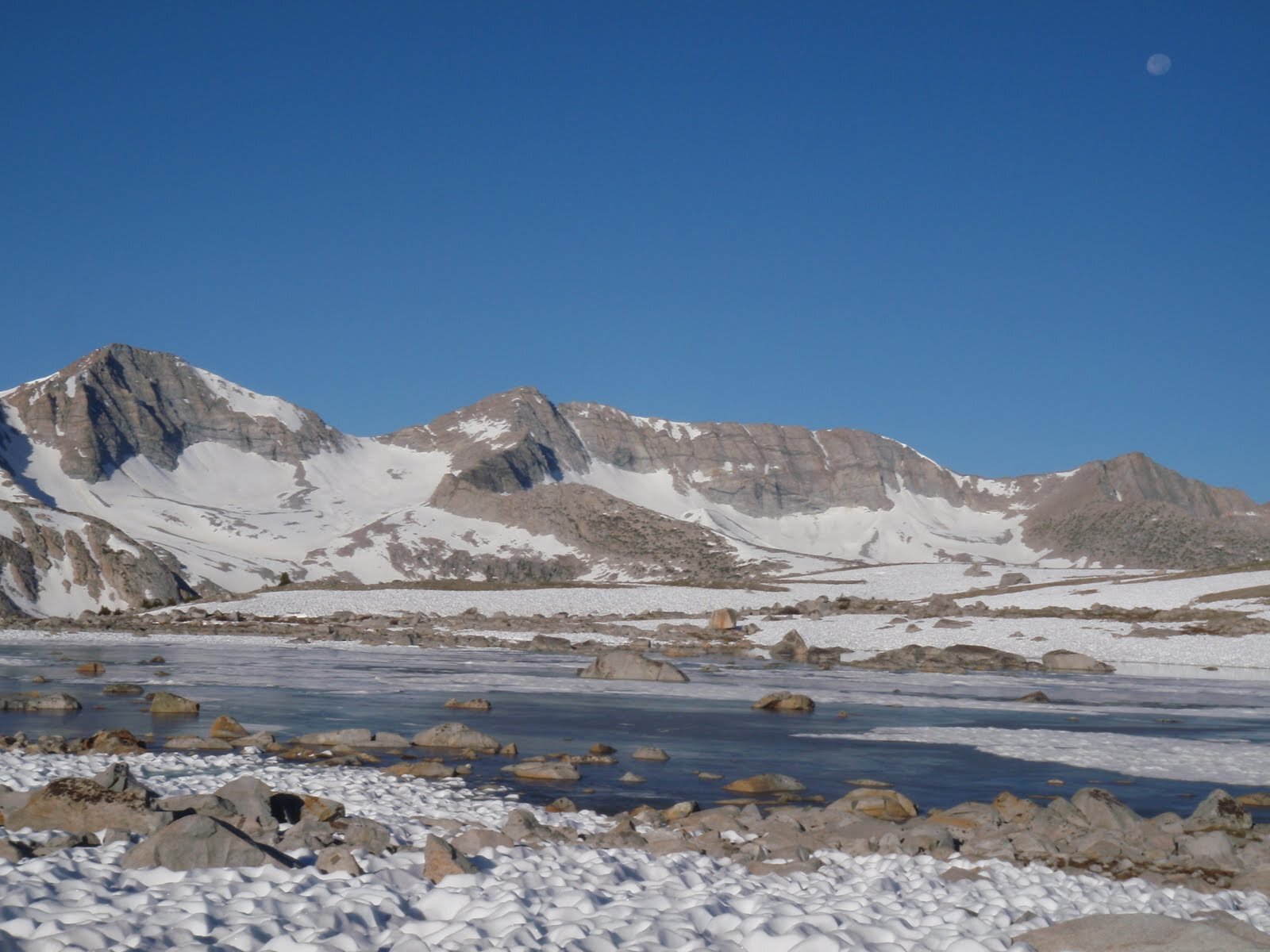
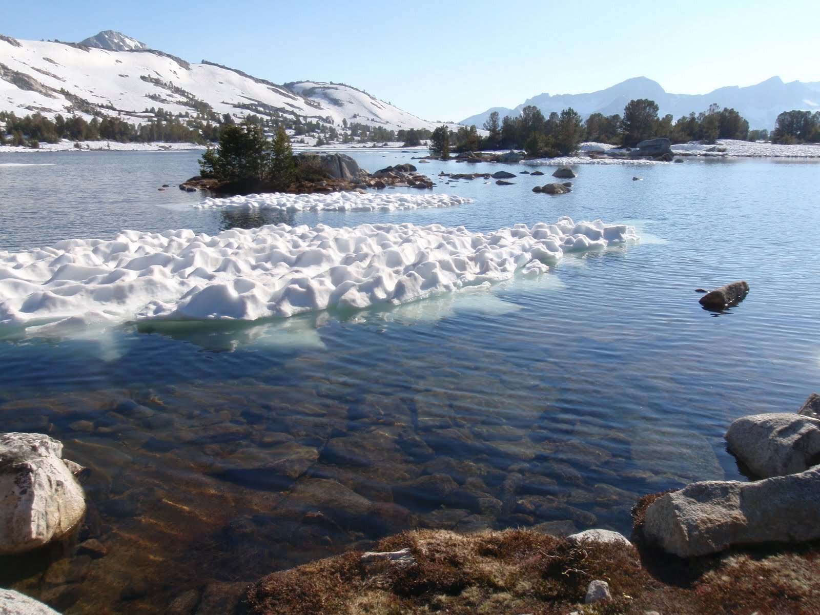
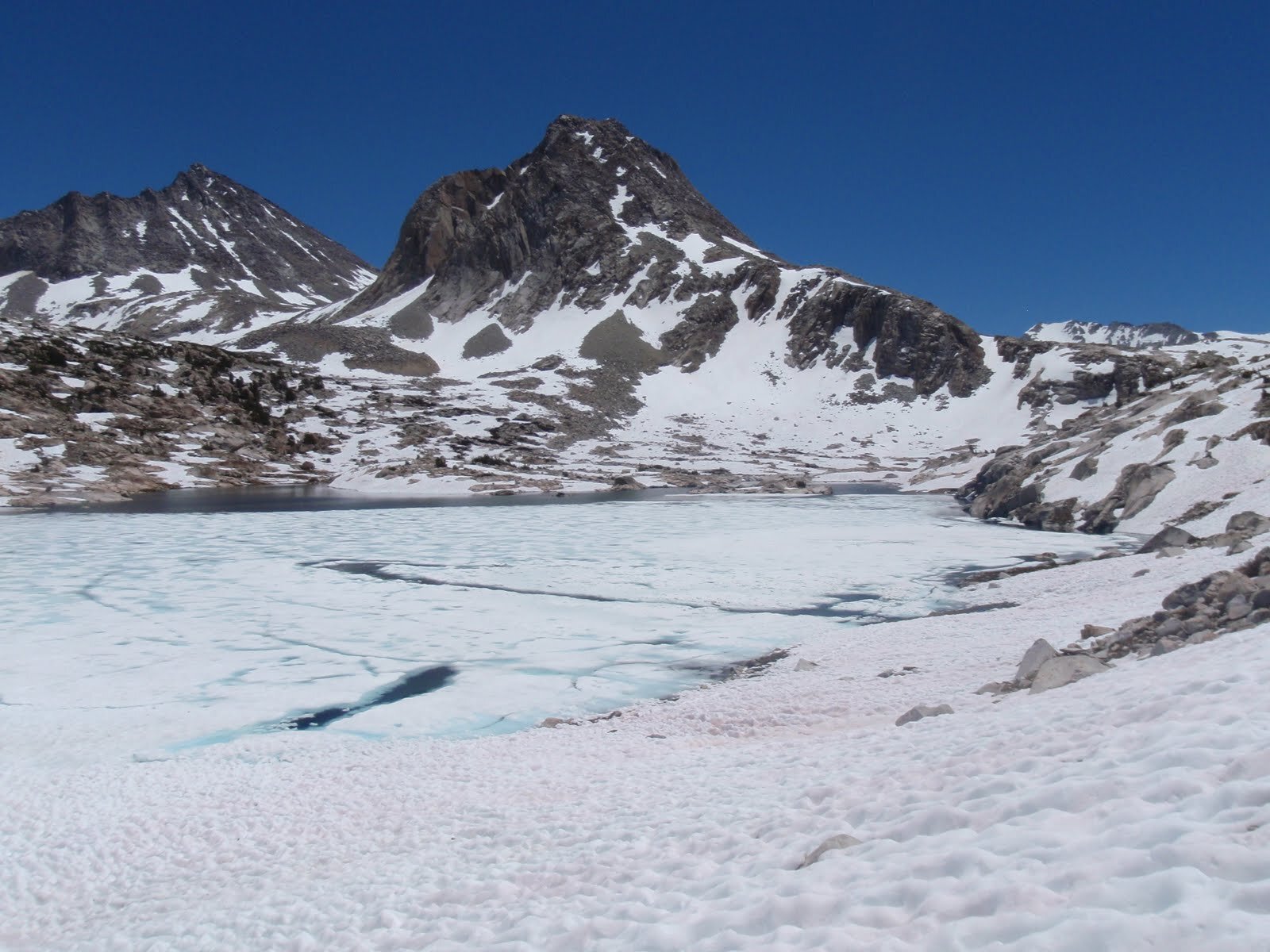
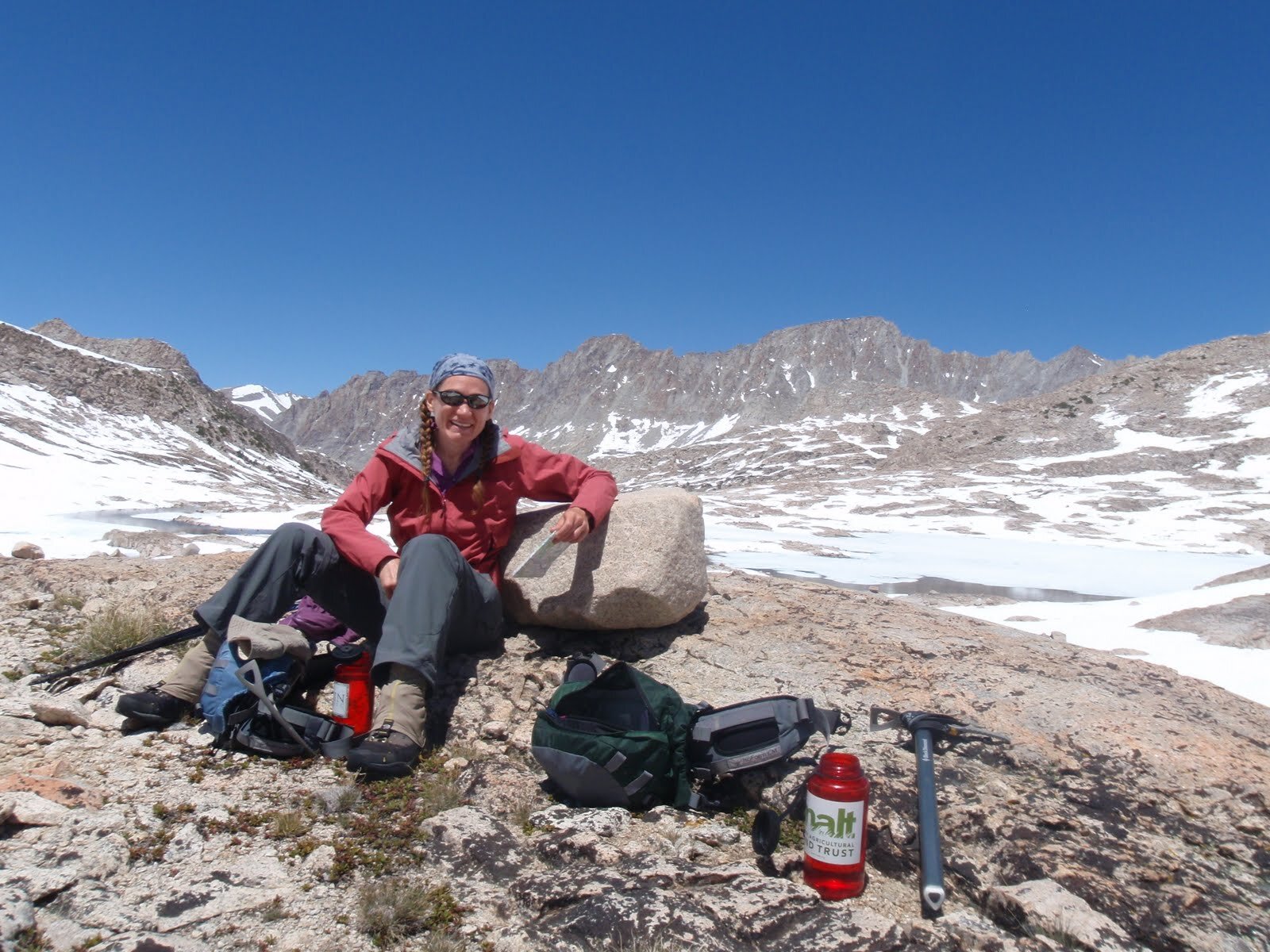
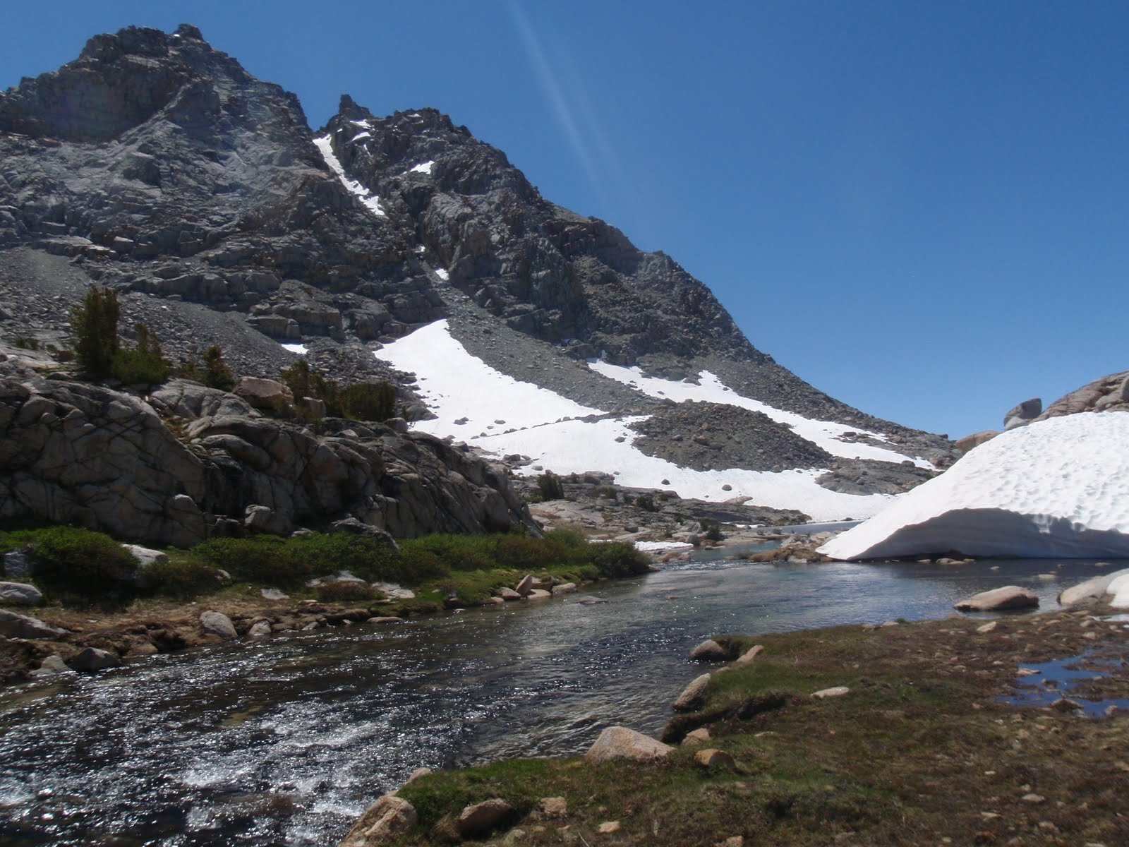
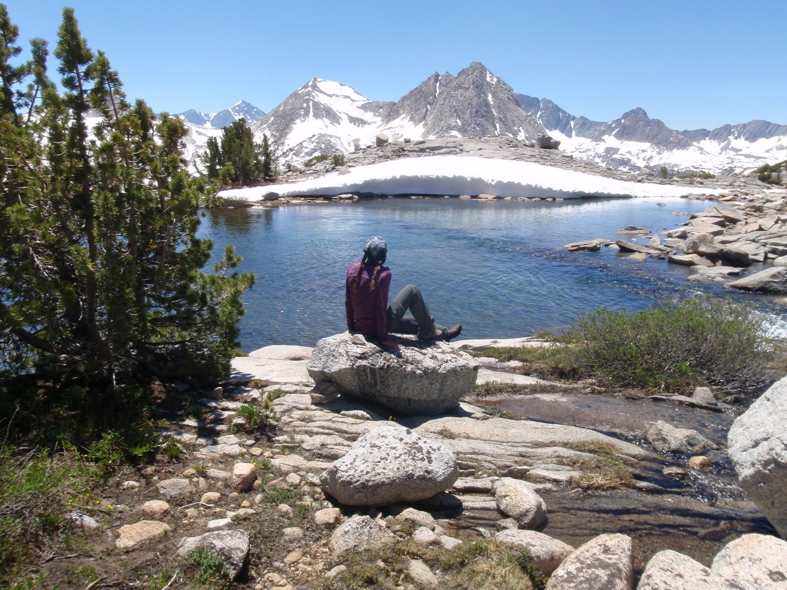
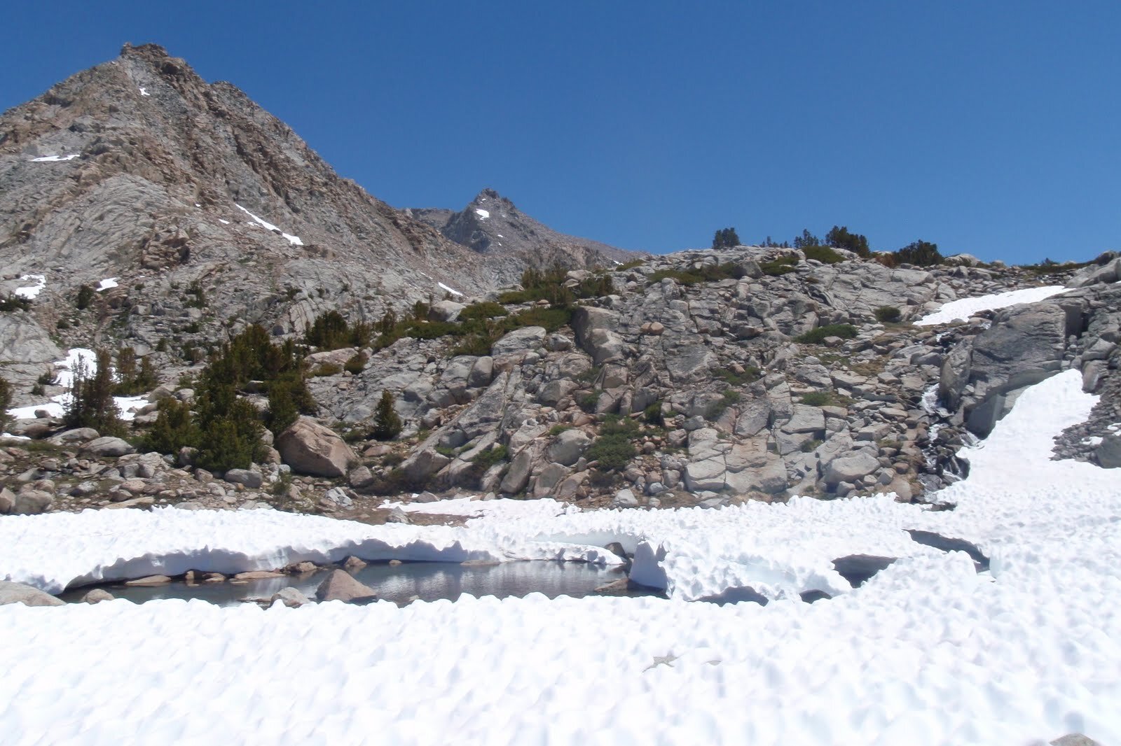
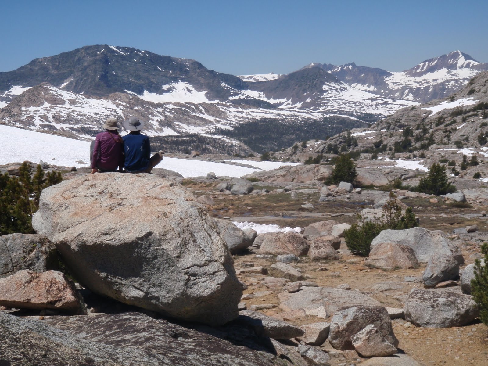
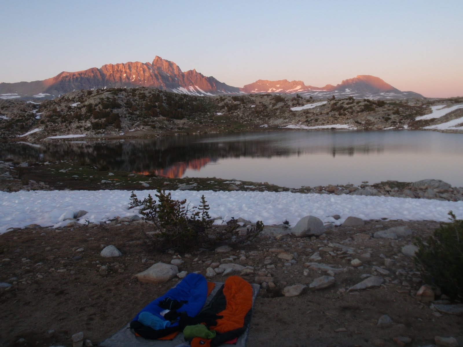
Day 6: McGee Canyon (~9,815’) to Sapphire Lake (frozen), with a jaunt to Muir Pass
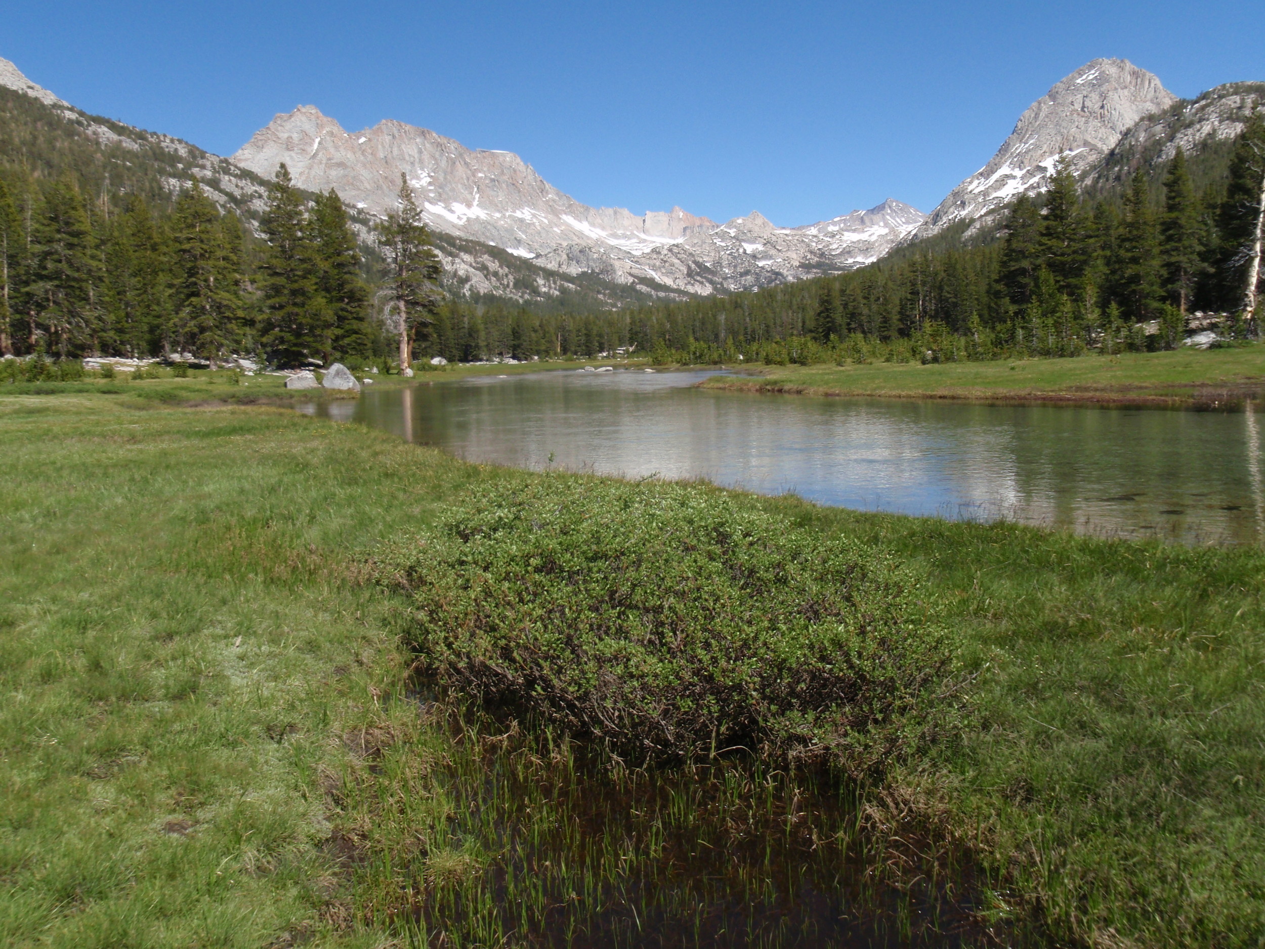
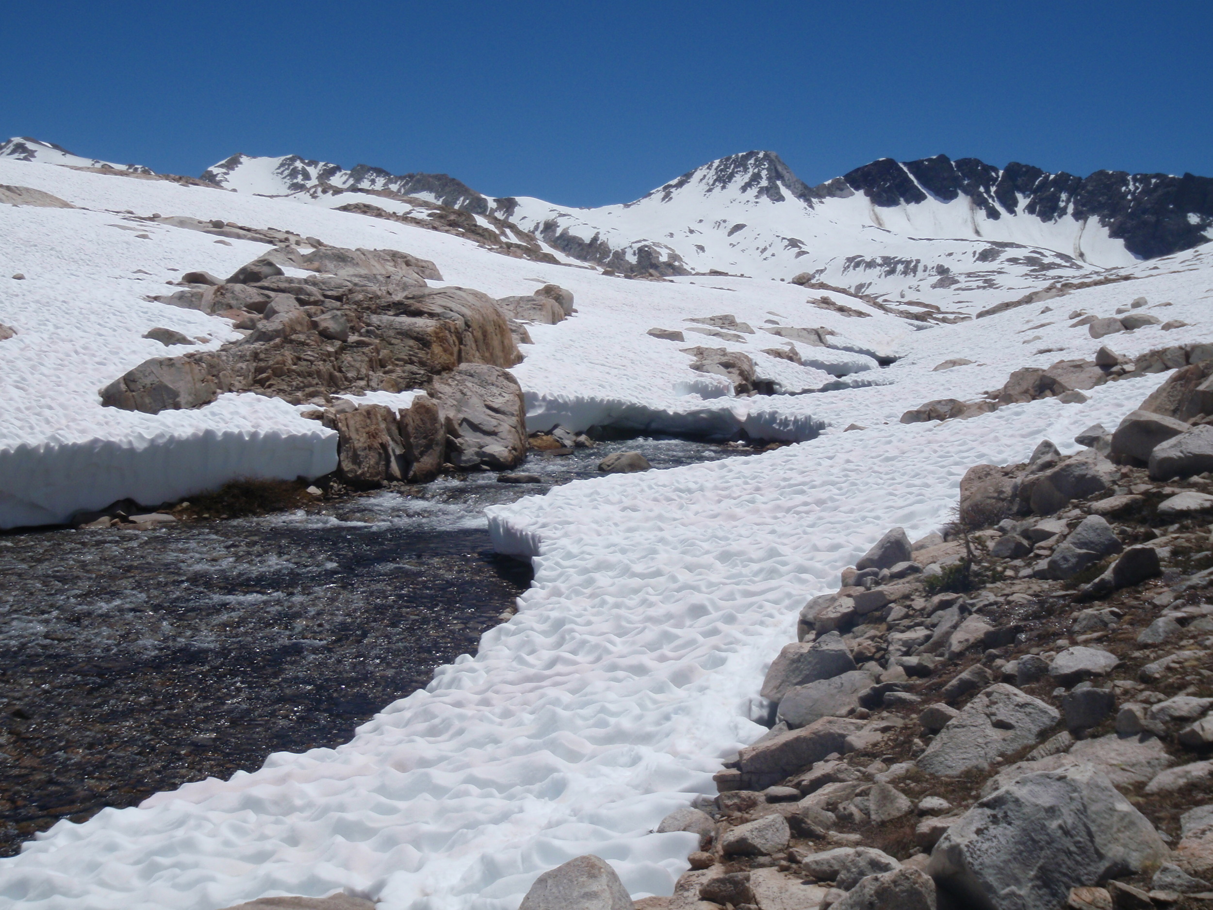
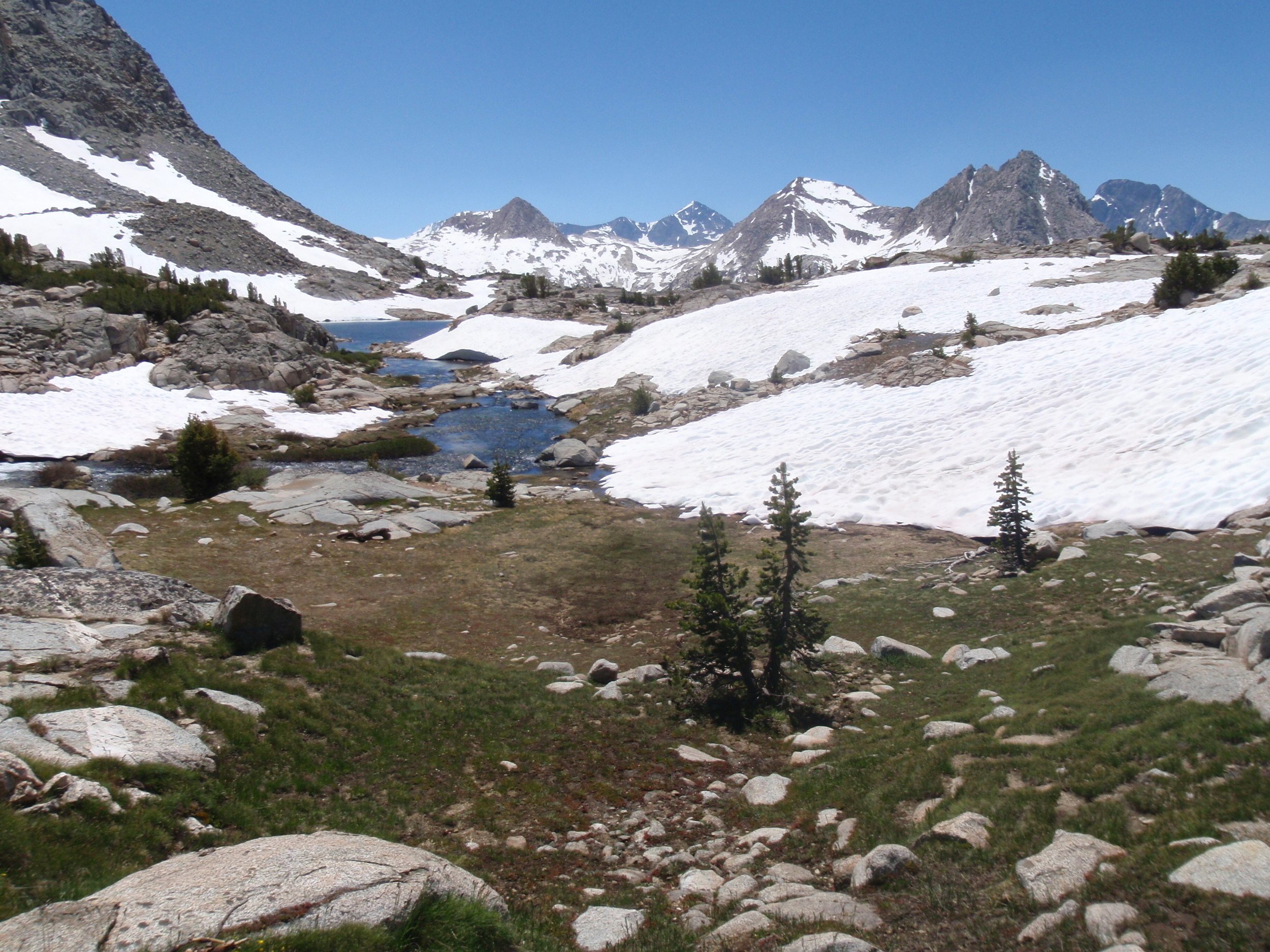
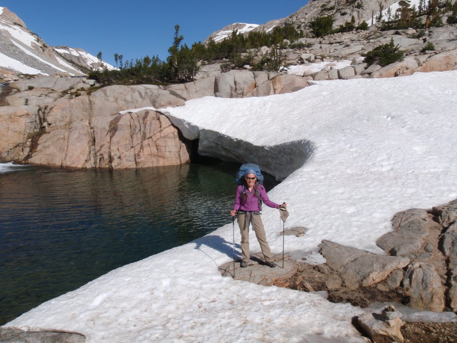
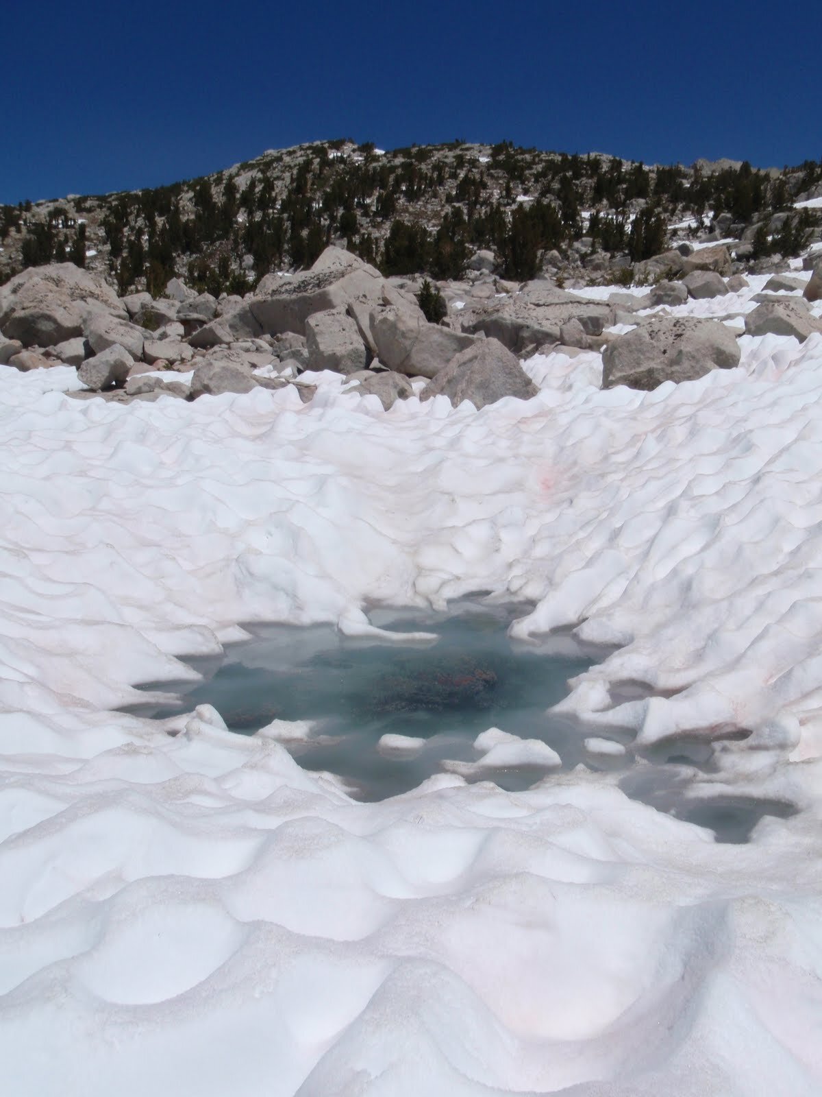
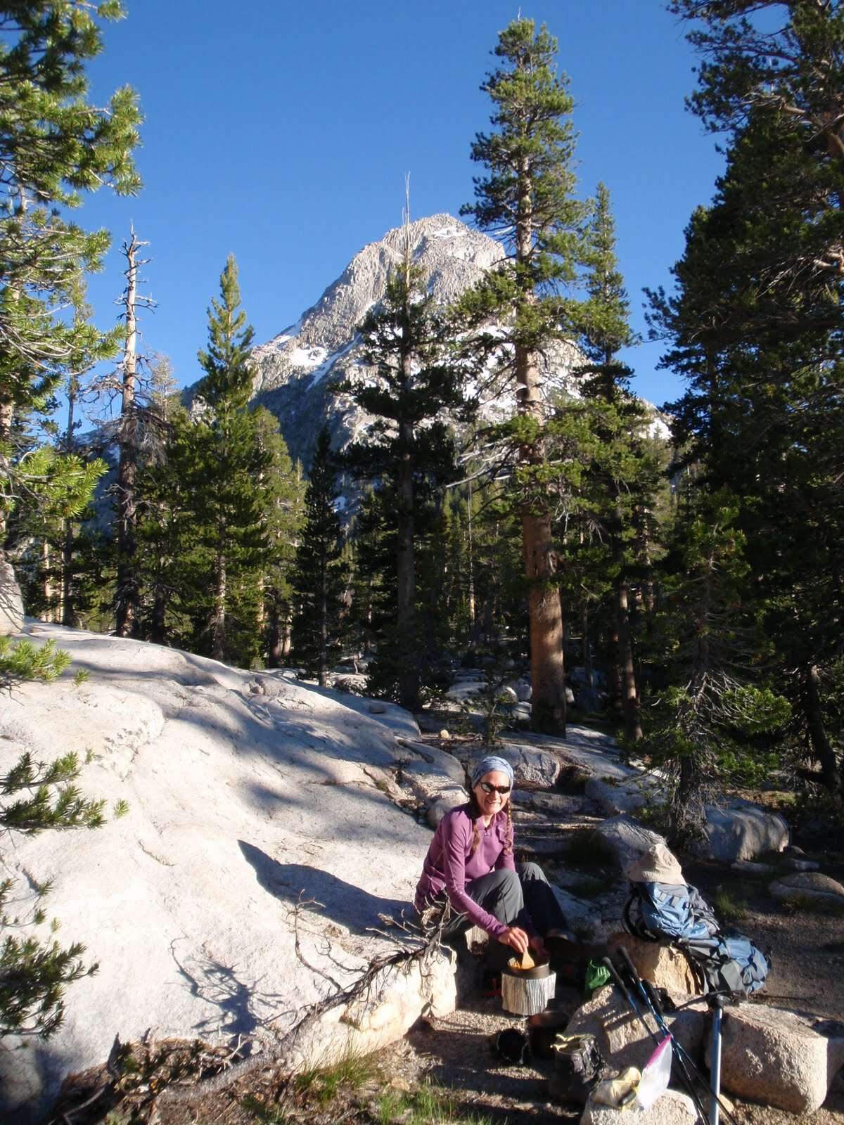
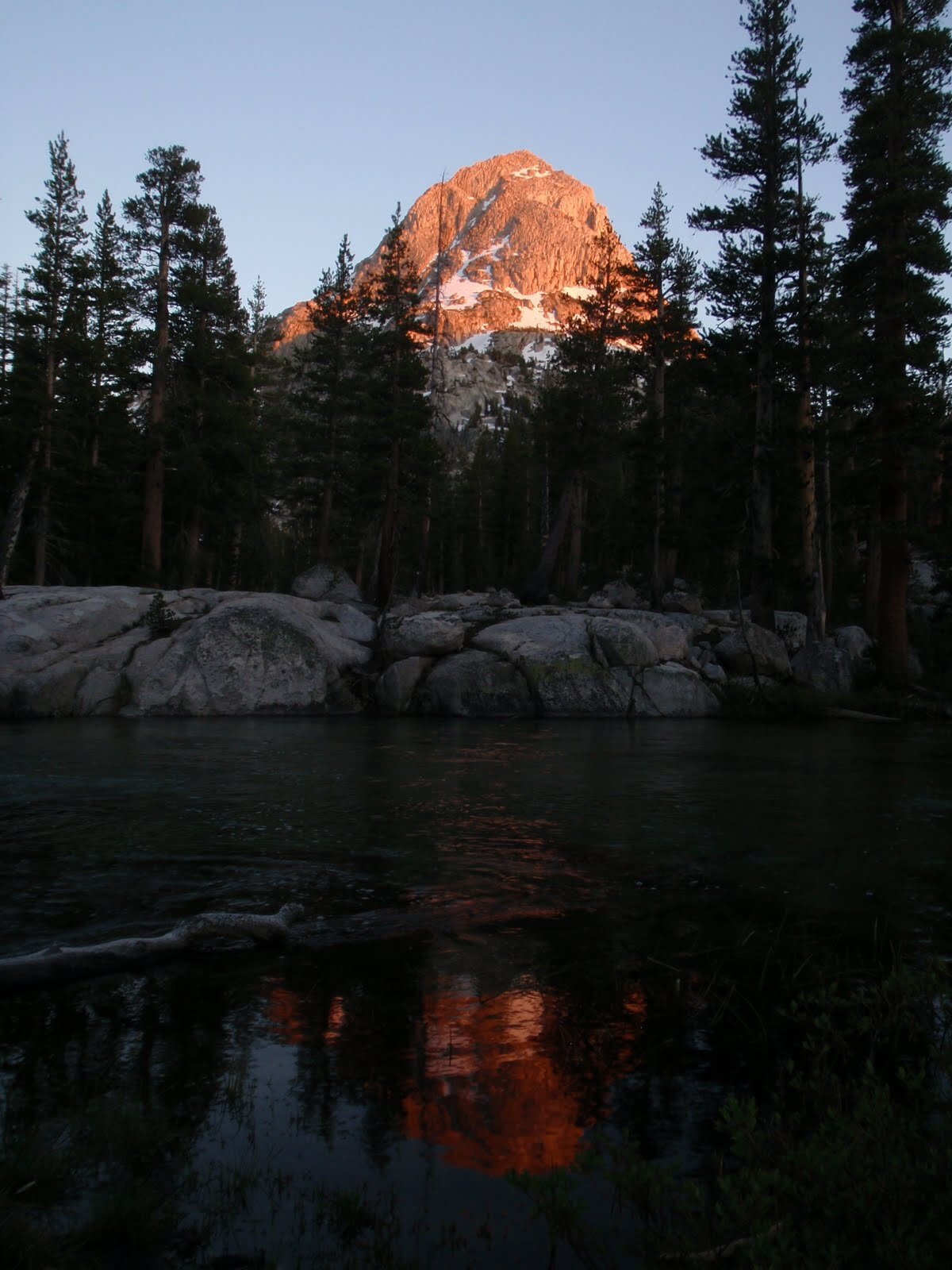
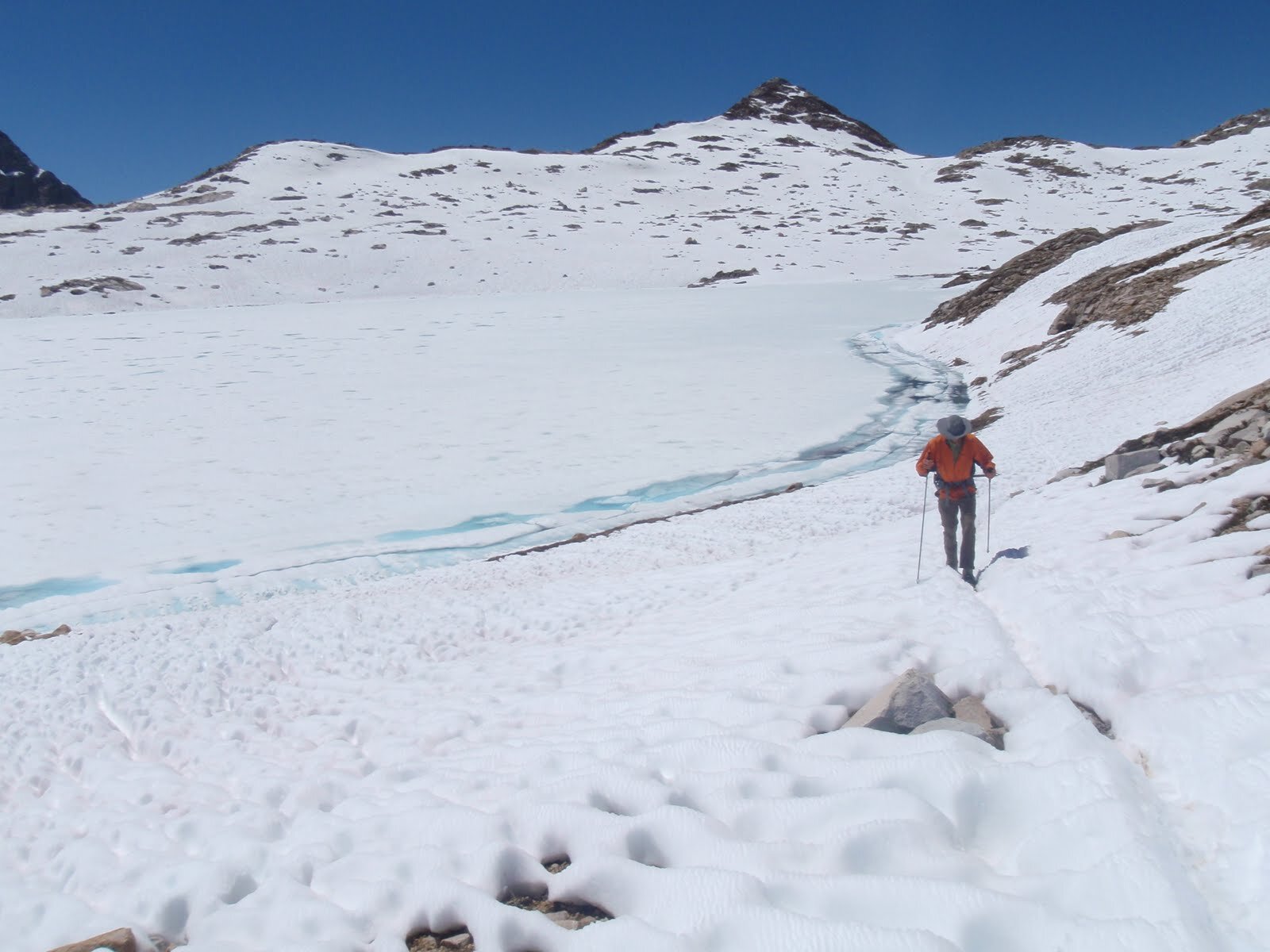
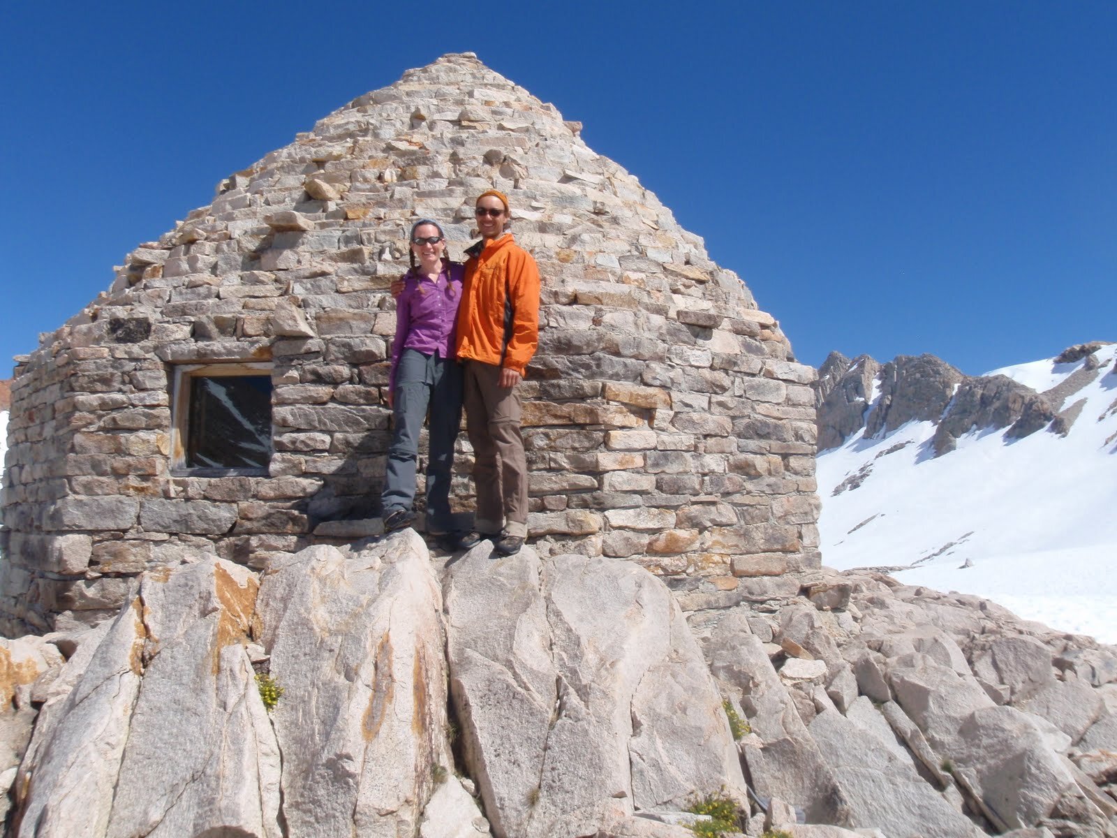
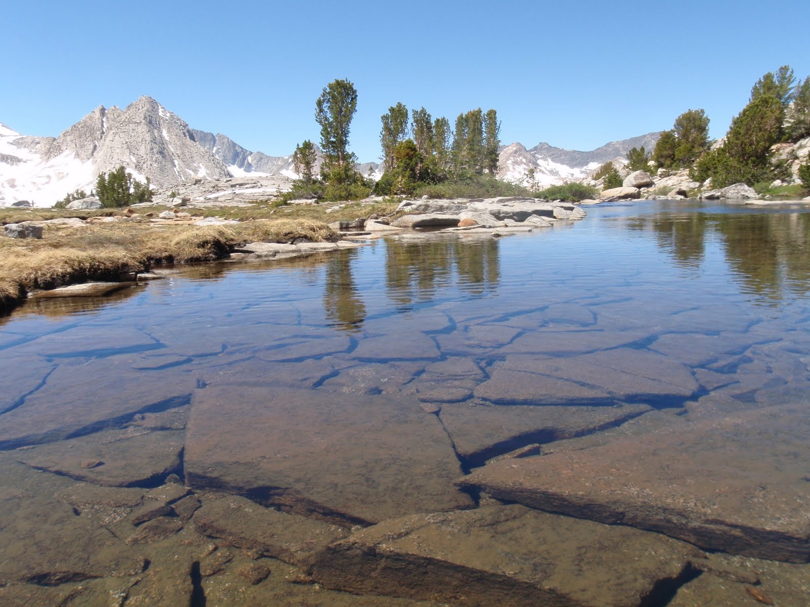
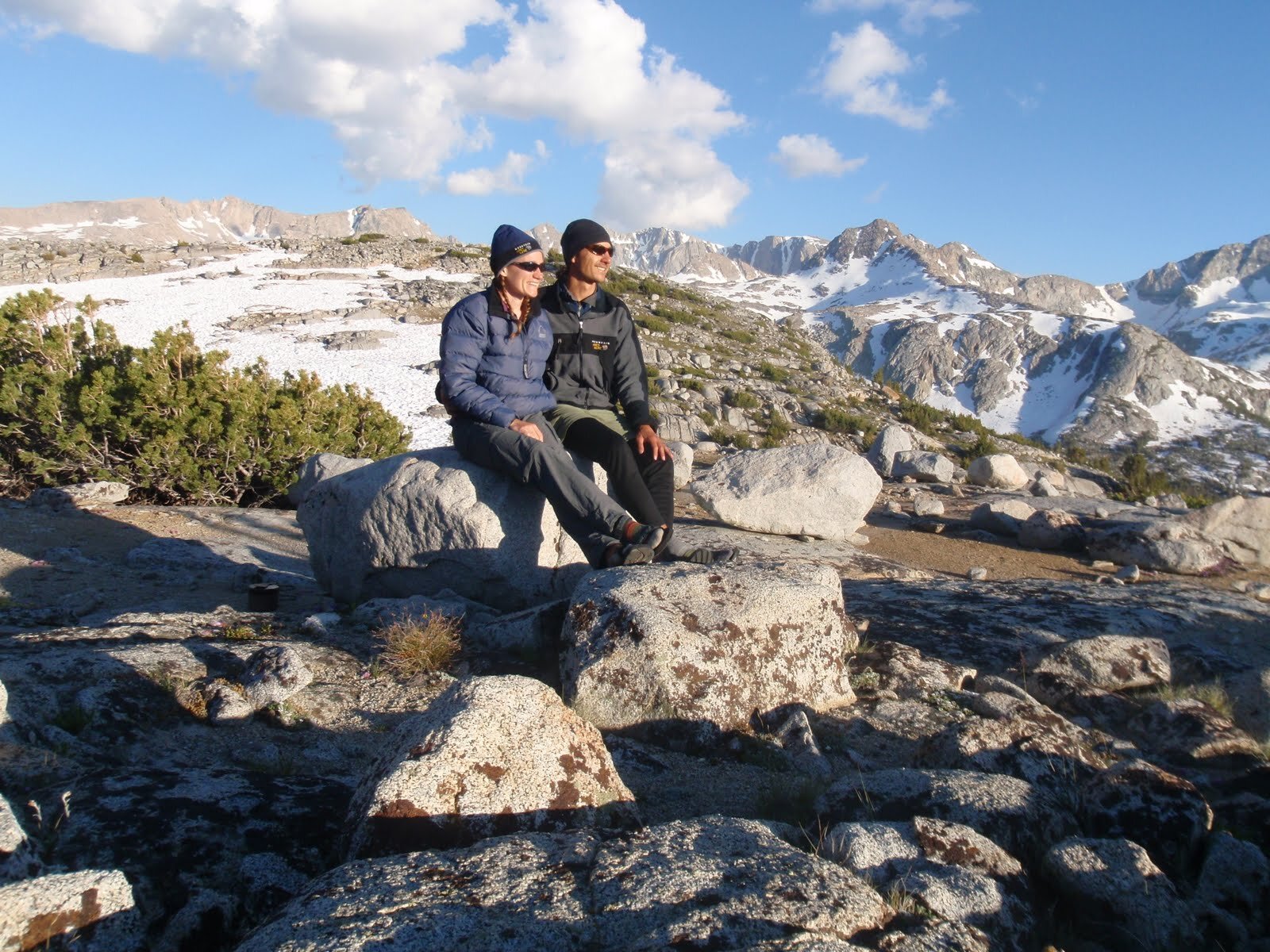
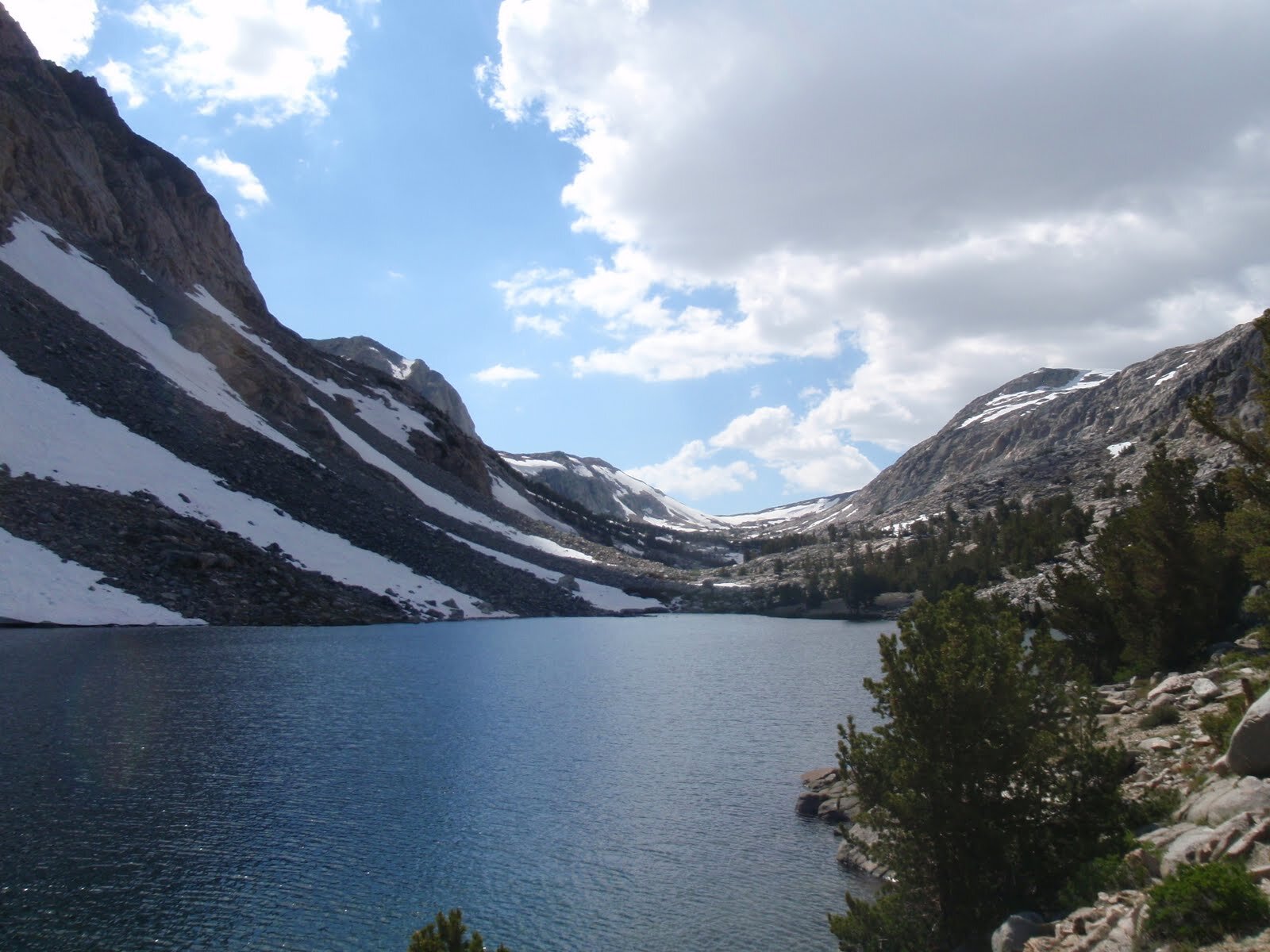
We broke camp and returned to the trail. We made our way to the head of the valley then made the climb up to the next shelf, holding Evolution Lake. We remembered our previous visit to the area, during our thru-hike of the JMT (southbound, 2007). On that trip, we ran into a massive storm and spent much of a rainy afternoon playing dice/cards in the tent at Evolution Meadow. We had taken advantage of a break in the rain to pack up camp and get as far as Sapphire Lake, where we spent a sleepless night of lightning, thunder, wind, and heavy rain. Several people we met on-trail bailed on their thru-hike during that extended storm. While we kept on through it, we felt like we had missed much of the scenery in Evolution Basin as a result. That experience made us particularly appreciative of the glorious weather today. Evolution Lake was pretty like a picture, and completely deserted except for us. We meandered around the grassy shores, taking in the view from every angle. We would have stayed, but it seemed crazy to set up camp after such a short walk and we were eager to see Sapphire Lake under blue skies too. We weren’t surprised to find the broad stepping stones across the inlet of Evolution Lake covered by a few inches of water. While our feet got wet, it was still nice to have a stable path across this wide and cold stream. We were back in patchy snow before we had made it to the next shelf, but we were still a bit awed to come over the lip and see Sapphire Lake nearly completely frozen. We hadn’t yet committed to a campsite for the night, but we quickly realized that if we weren’t planning to camp on snow, we’d come across our final option in this direction. We scouted around for a dry-ish patch of decomposed granite near the outlet end, and dropped packs to mark our spot. We headed out on a dayhike to Muir Pass, looking forward to visiting the iconic hut without a storm raging around us. We were above treeline, and the next few miles to the pass were completely snow-covered. There was a fairly distinct path, likely worn by PCT thru-hikers who often pass through while the area is still blanketed in snow, but it still takes more time to hike on snow than dry-ish trail. We stopped several times to enjoy views of the surrounding peaks, and were especially careful navigating near streams/inlets/outlets of the upper lakes, knowing that snow bridges can collapse without warning. The day was warm but the water was frigid, and we wanted to continue enjoying our trip. We reached Muir Pass by mid-afternoon and hung out on the sun-baked steps of the stone hut for a bit before turning back. We wondered if we might see anyone else, but never did. We made it back to our Sapphire Lake campsite with plenty of time to set up and enjoy dinner in time for the alpenglow.

Day 6 Stats: 16.9 Miles | 3178' Climb | 2024' Descent | 1,154’ net elevation gain
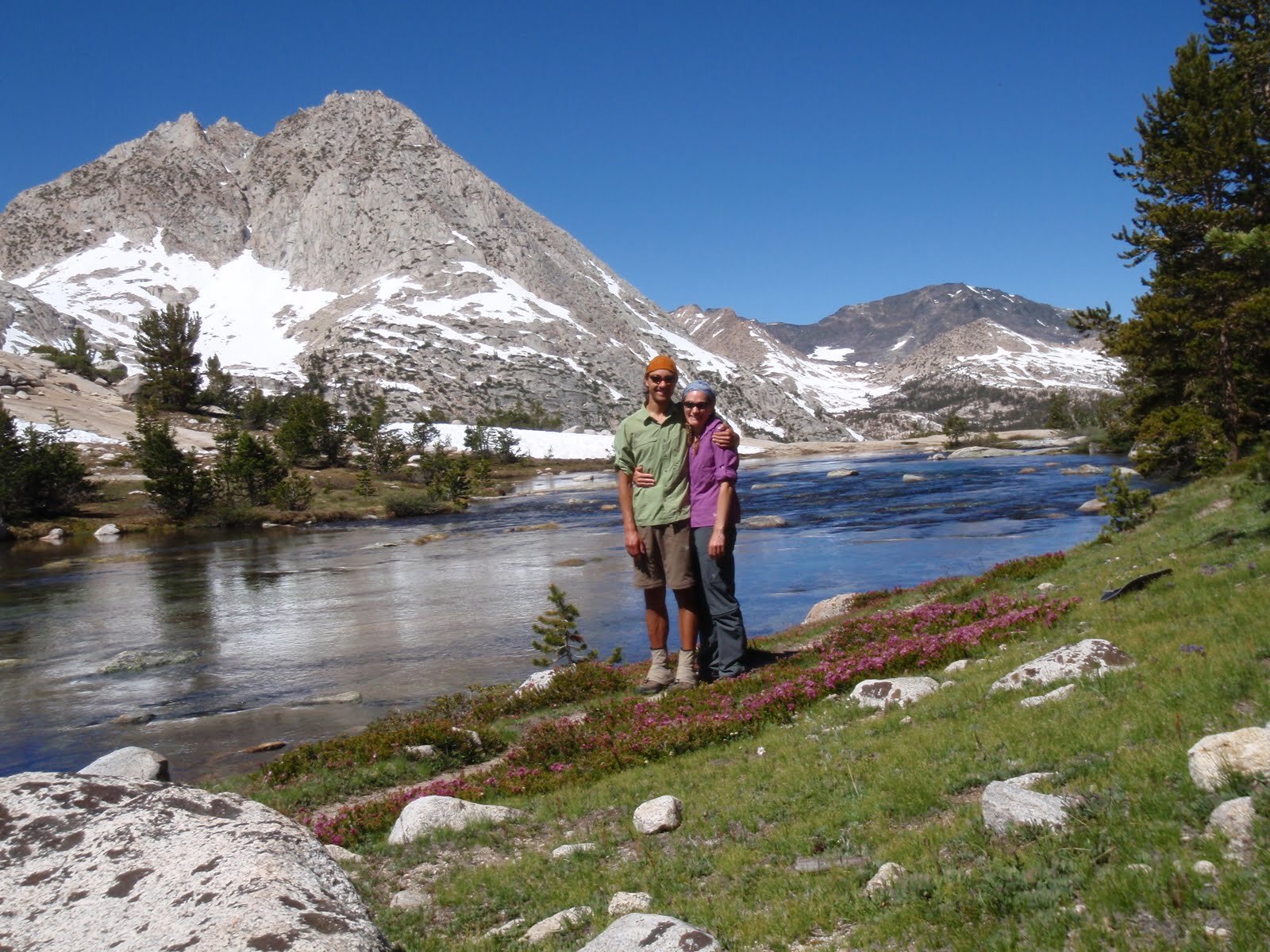
Day 7: Sapphire Lake (~10,979’) to Evolution Valley, via Darwin Bench
Day 7 Stats: 14.3 Miles | 2056' Climb | 3694' Descent | 1,638’ net elevation loss
Day 8: Evolution Valley (~9,340’) to Tomahawk Lake via PCT/JMT & Piute Canyon
Day 8 stats: 18.7 Miles | 4426' Climb | 2576' Descent | 1850’ net elevation gain
Day 9: Tomahawk Lake (~11,195’) to Loch Leven
Day 9 Stats: 7.1 Miles | 1072' Climb | 1461' Descent | 389’ net elevation loss
Day 10: Loch Leven (~10,768’) to North Lake TH

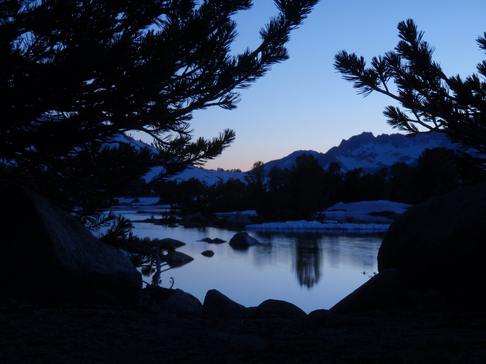
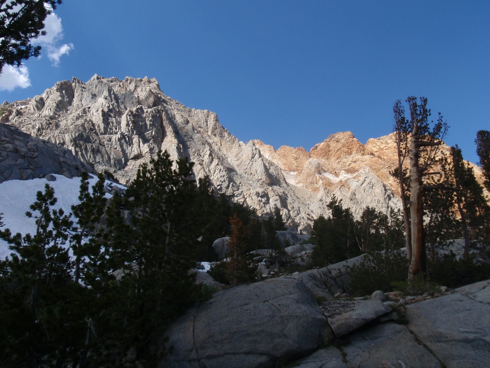
We woke at dawn to pink light on the Piute Crags across from our campsite. It was a perfect day, the perfect end to one of those near-mythical trips that we will remember for many years to come. We hiked the few miles to our car, somehow surprised at how many day-hikers we saw coming from this popular trailhead.