LOCATION
John Muir Wilderness, Inyo NF, CA, USA
MILEAGE:
33.5 miles (17.5mi trail & 16mi off-trail)
TOTAL CLIMB (& descent): 11,700’
DAYS: 5 SEASON: Late July
STARTING & ENDING TRAILHEAD
Pine Creek Pass
Basecamp: Bishop, CAMap: Tom Harrison Mono Divide High Country MapGuideBooks: The High Sierra: Peaks, Passes, Trails by RJ Secor; Sierra High Route by Steve RoperMore inspiring pics: Iain's 2019 Bear Lakes Basin / Mono Recesses trip, via Croft Col & Dancing Bear PassDay 1: Pine Creek Pass TH (~7410’) to Granite Park along Italy Pass trail
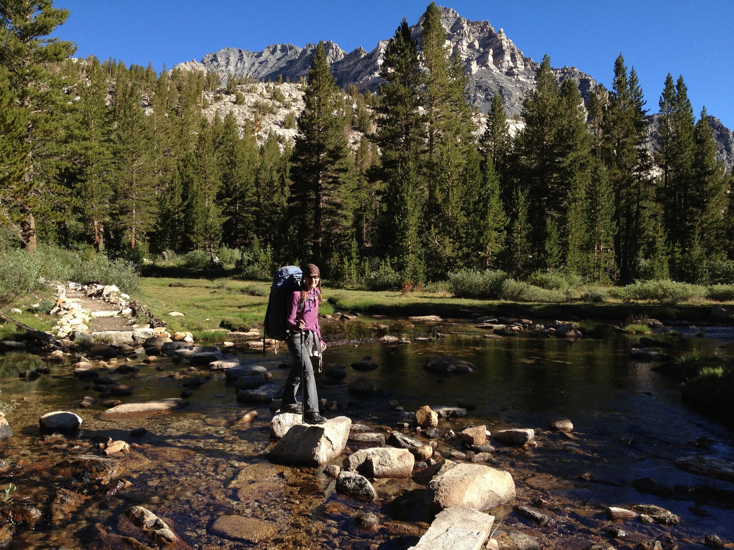
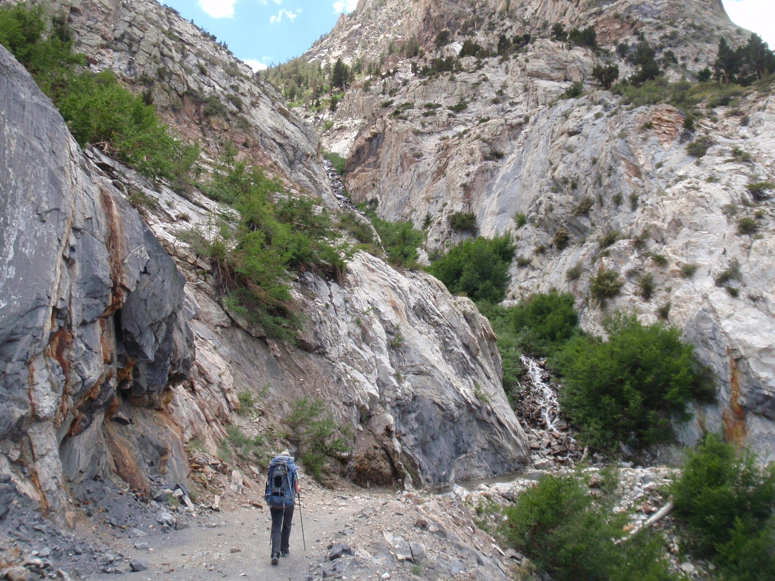
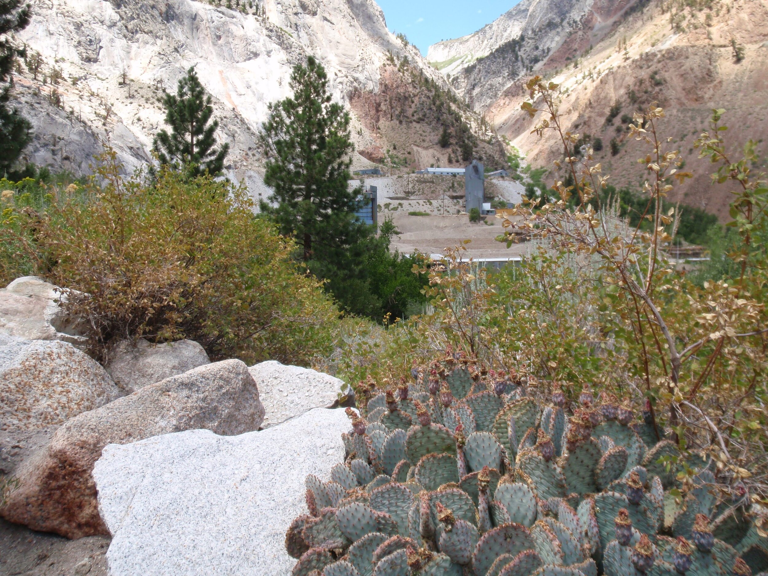
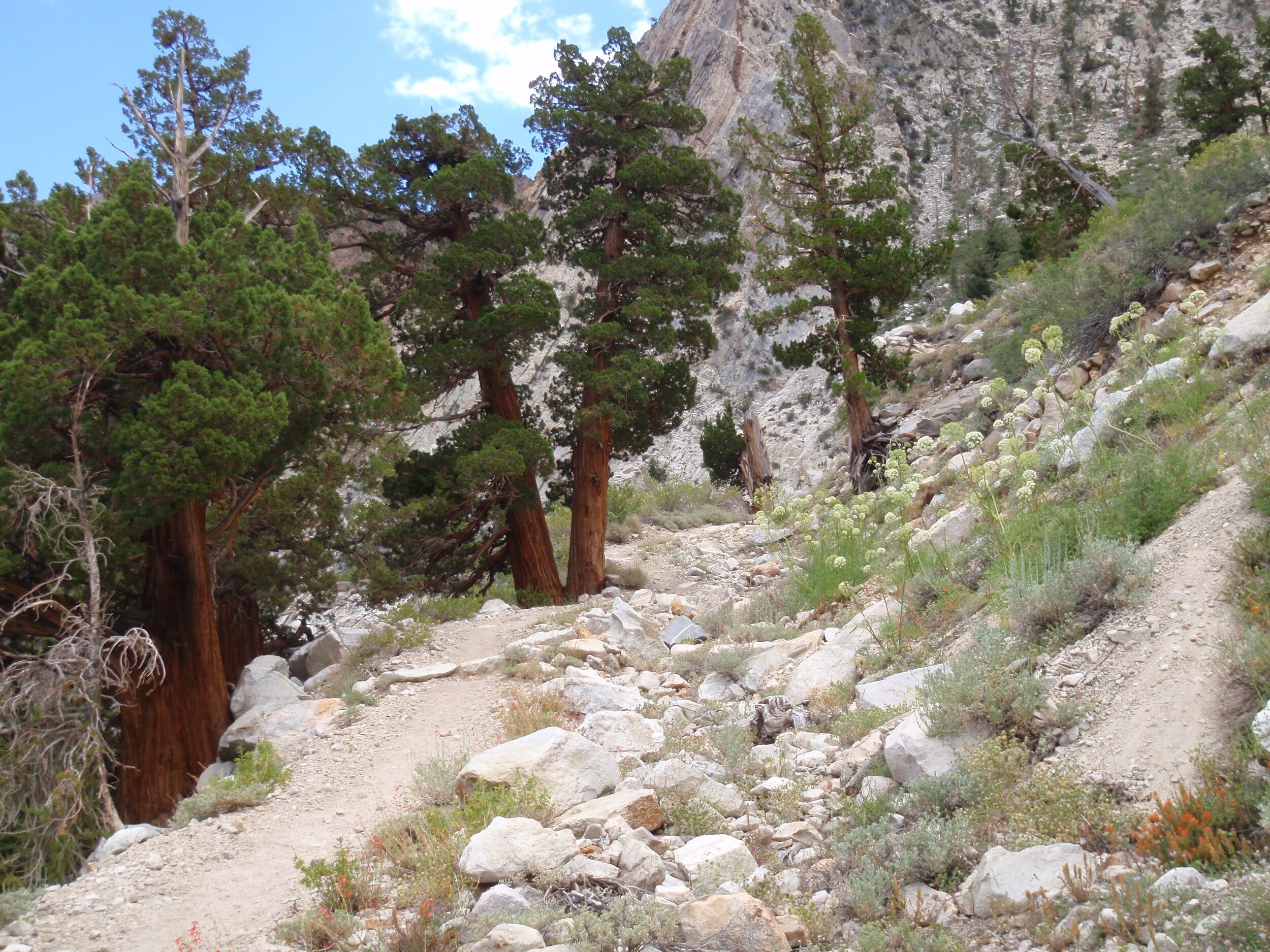
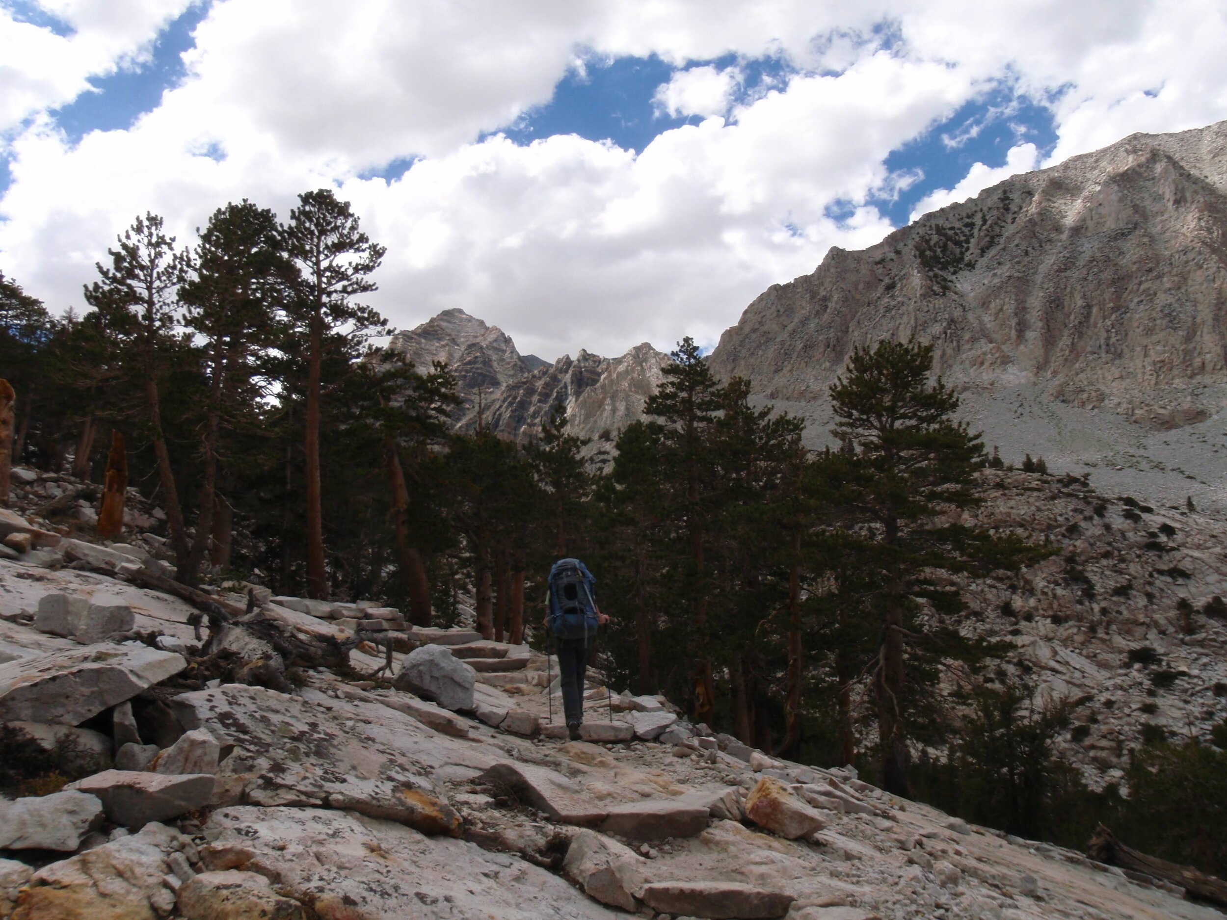
An easy day, though a Pine Creek approach is never truly easy. It’s a hot exposed trail on most summer days, and this was no exception. It would be great to get an early start, but we always drive over from the SF Bay Area so we usually set out right around noon. Sage and cactus dominate the lowest elevations, and we passed the mining operations that seem so out of place now in our favorite mountains. We mark our climb as we pass through different trees at each elevation. The multicolor crags of the deep canyon make a nice diversion from the steady climb with full packs. By the time we reached the granite, late afternoon clouds were building overhead. We appreciated their shade, and they made for great contrast to the surrounding peaks. It wasn’t long before they started to threaten a serious storm. We left the main trail at the junction for Italy Pass. While this is considered “unmaintained” and not marked on some maps, it is a well-defined trail in all reality. We passed a few anglers at Honeymoon Lake, the only people we’d seen all day, and decided to set up camp in the lower reaches of Granite Park before the sky opened up. As luck would have it, the clouds dissipated and we were treated to an evening of perfect Sierra light with no precipitation at all.
Day 1 Stats: 6.2 miles (trail) | 3840’ climb | 430’ descent
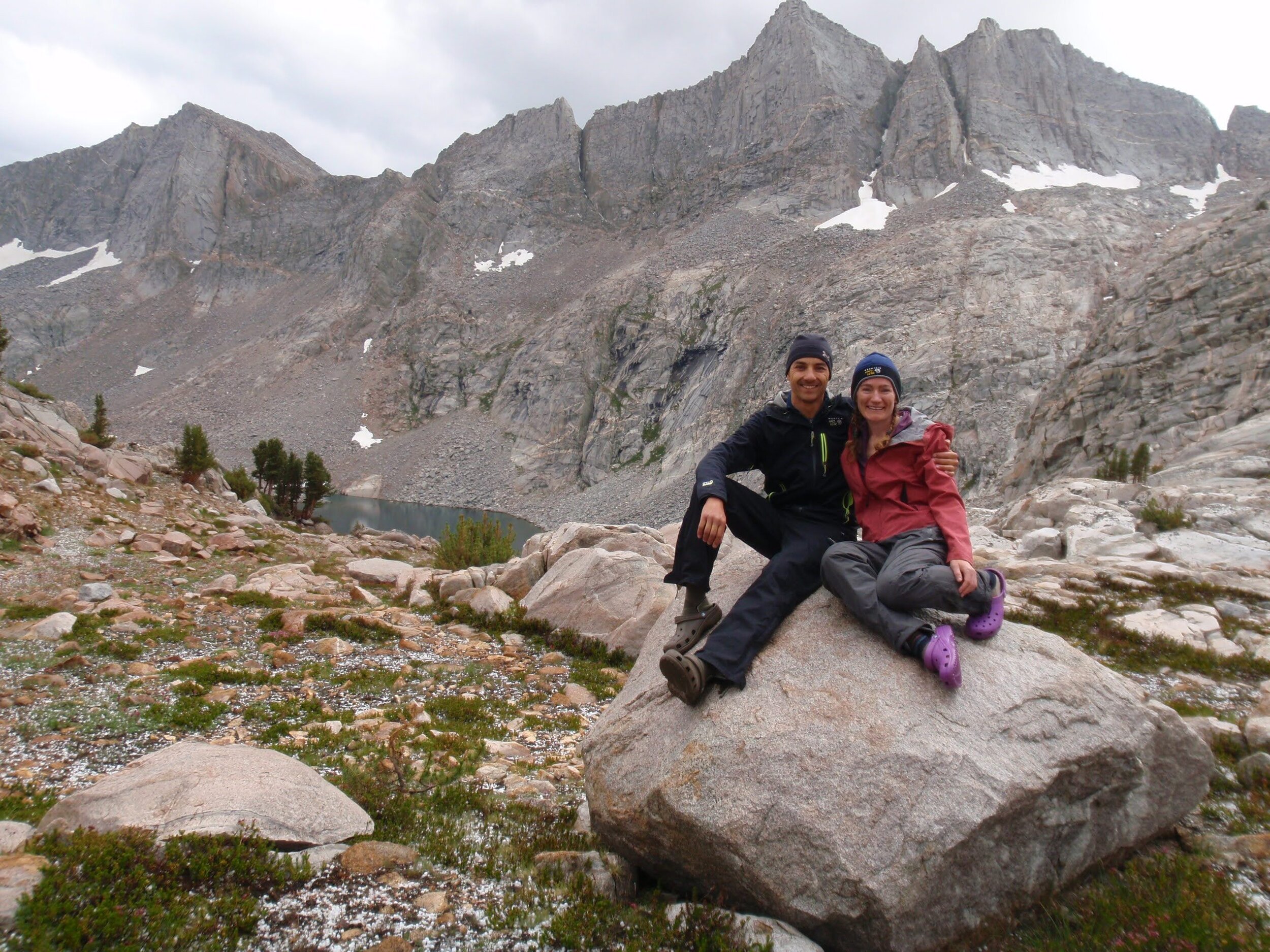
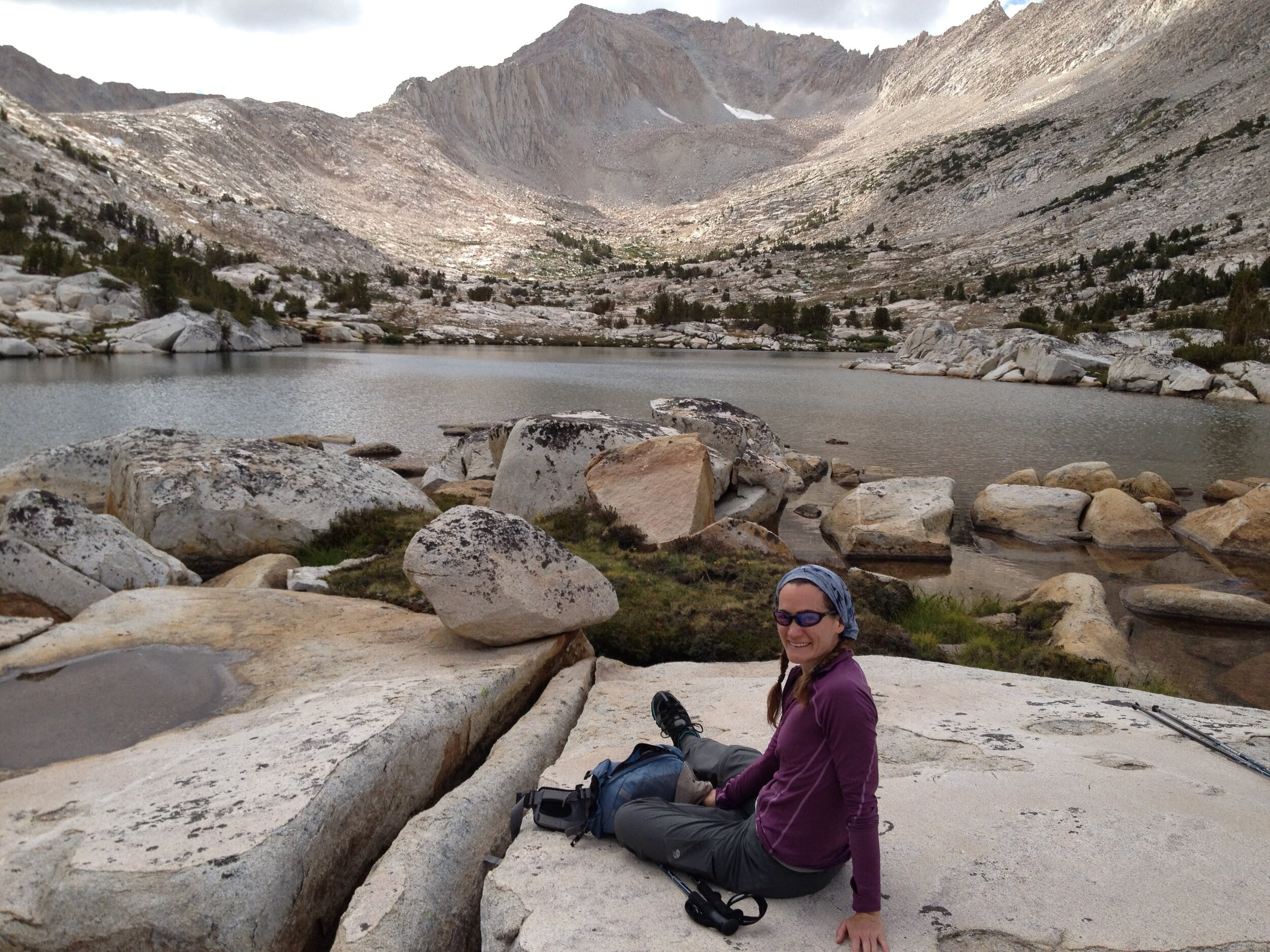
Day 2: Granite Park (~10,830’) to Black Bear Lake via Italy Pass & White Bear Pass
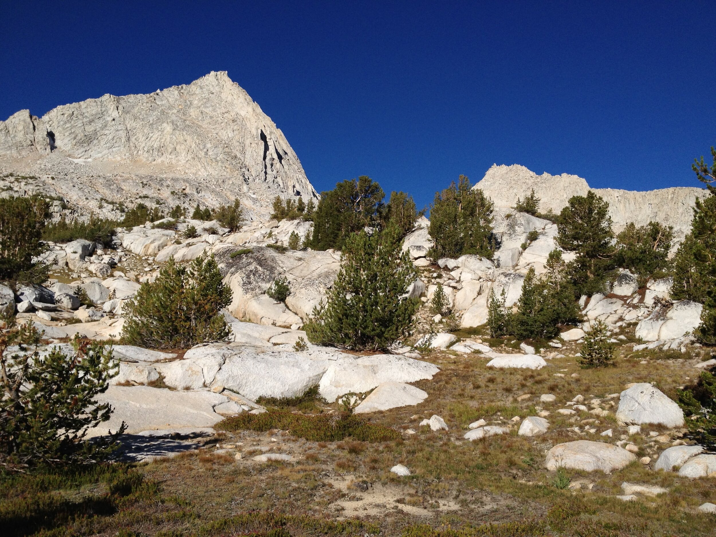
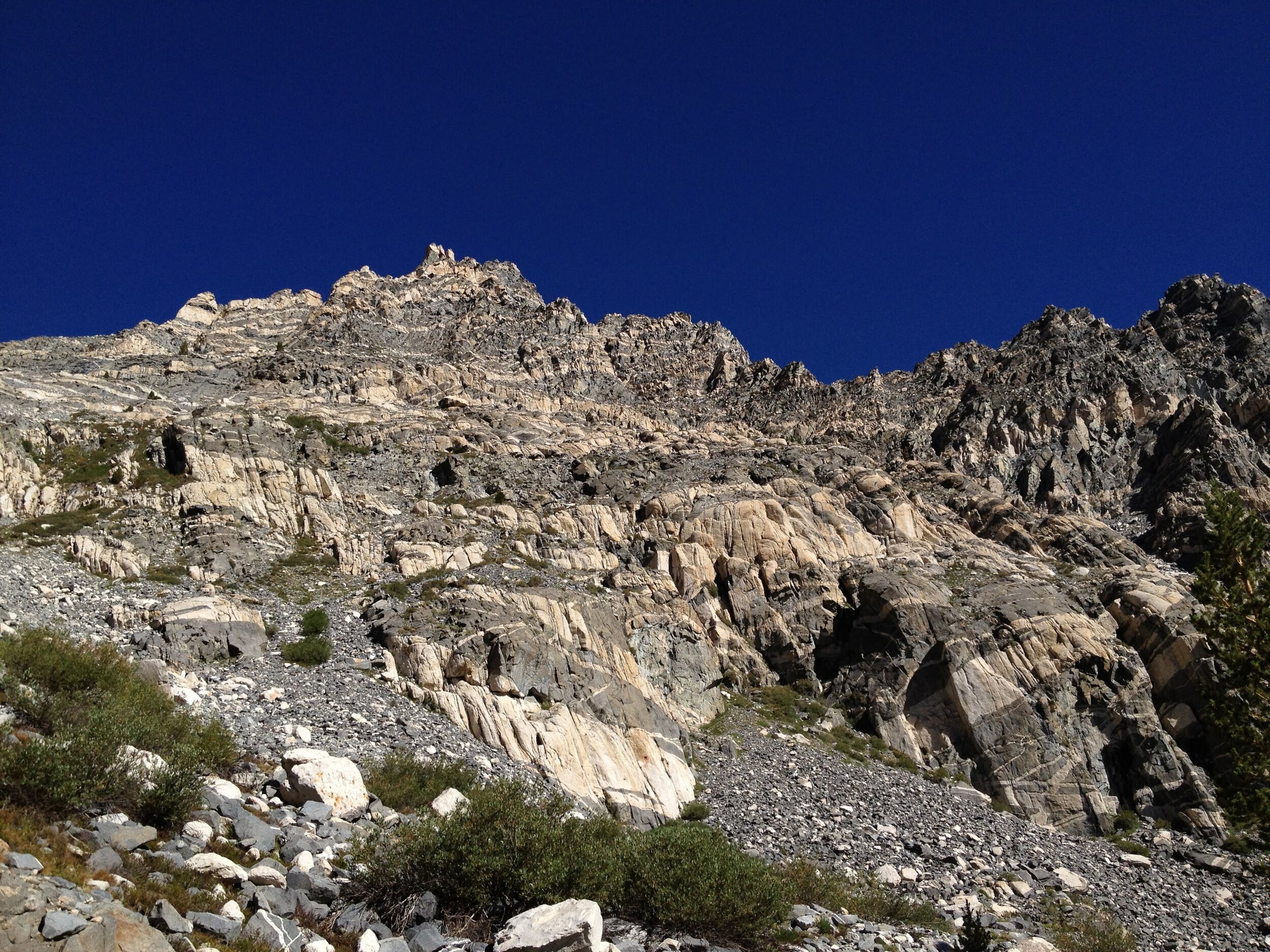
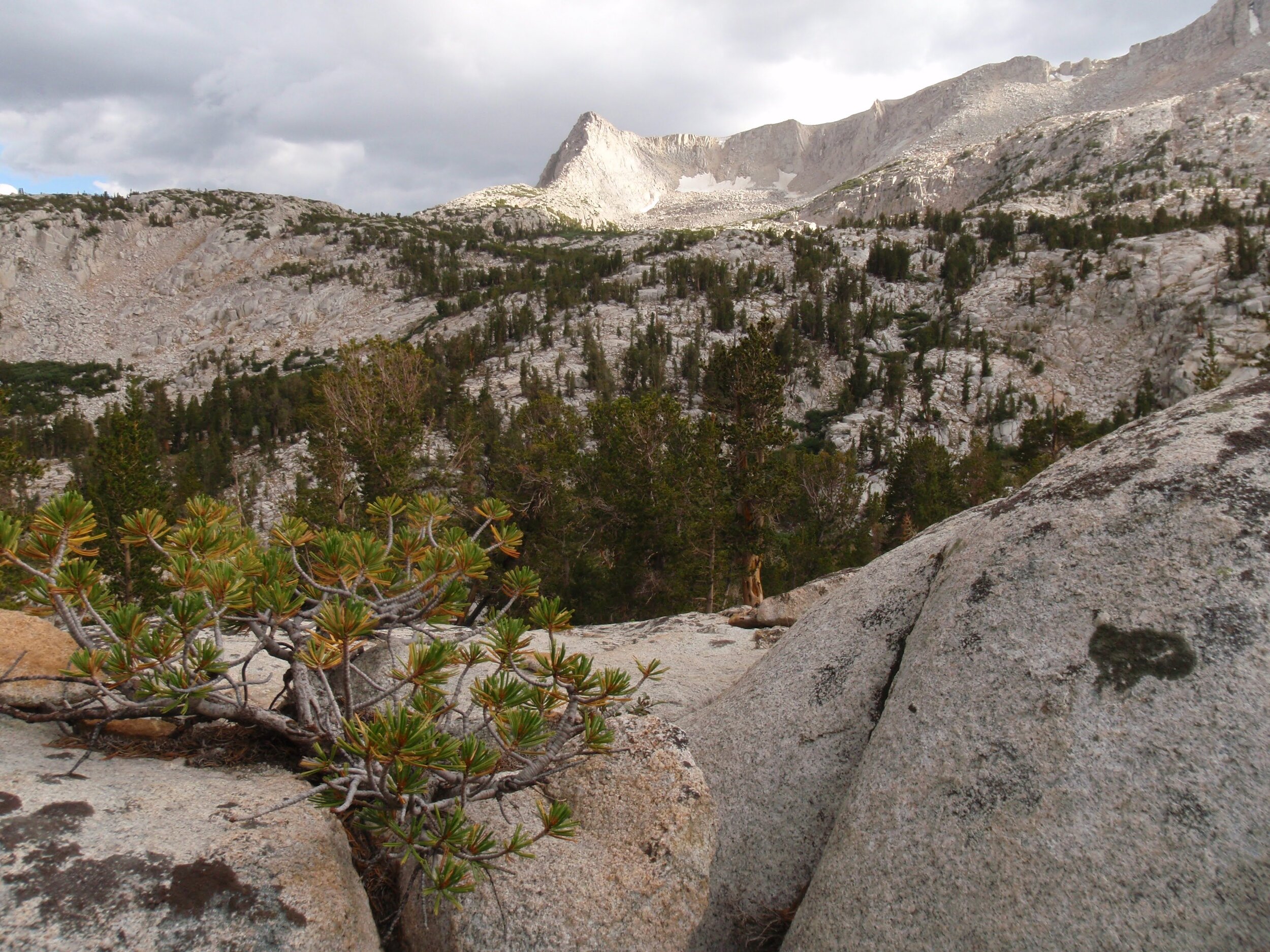
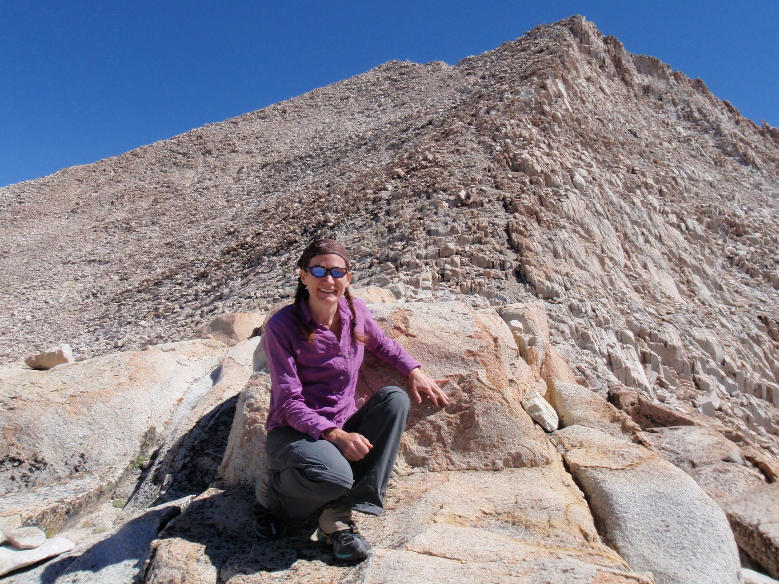
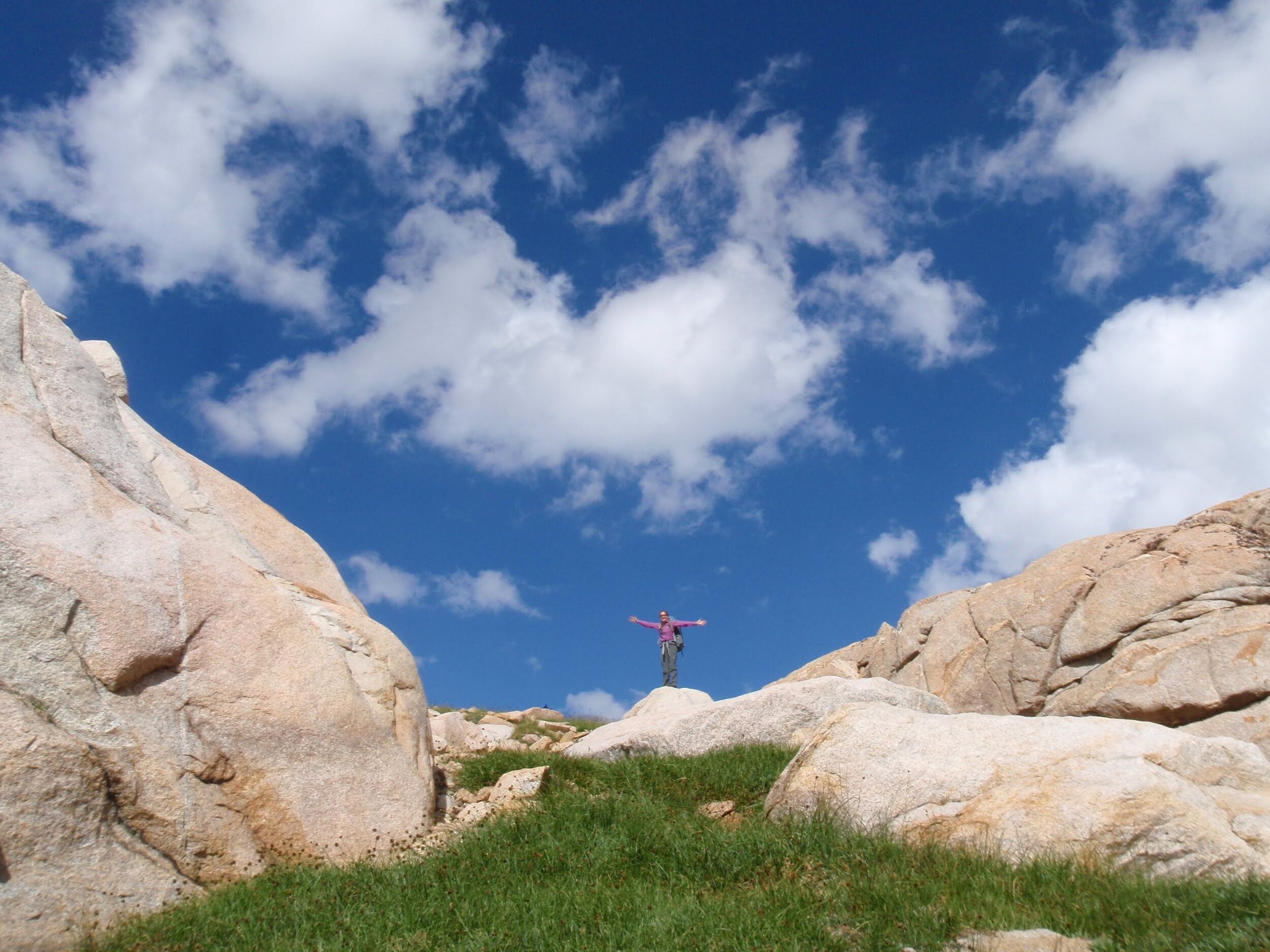
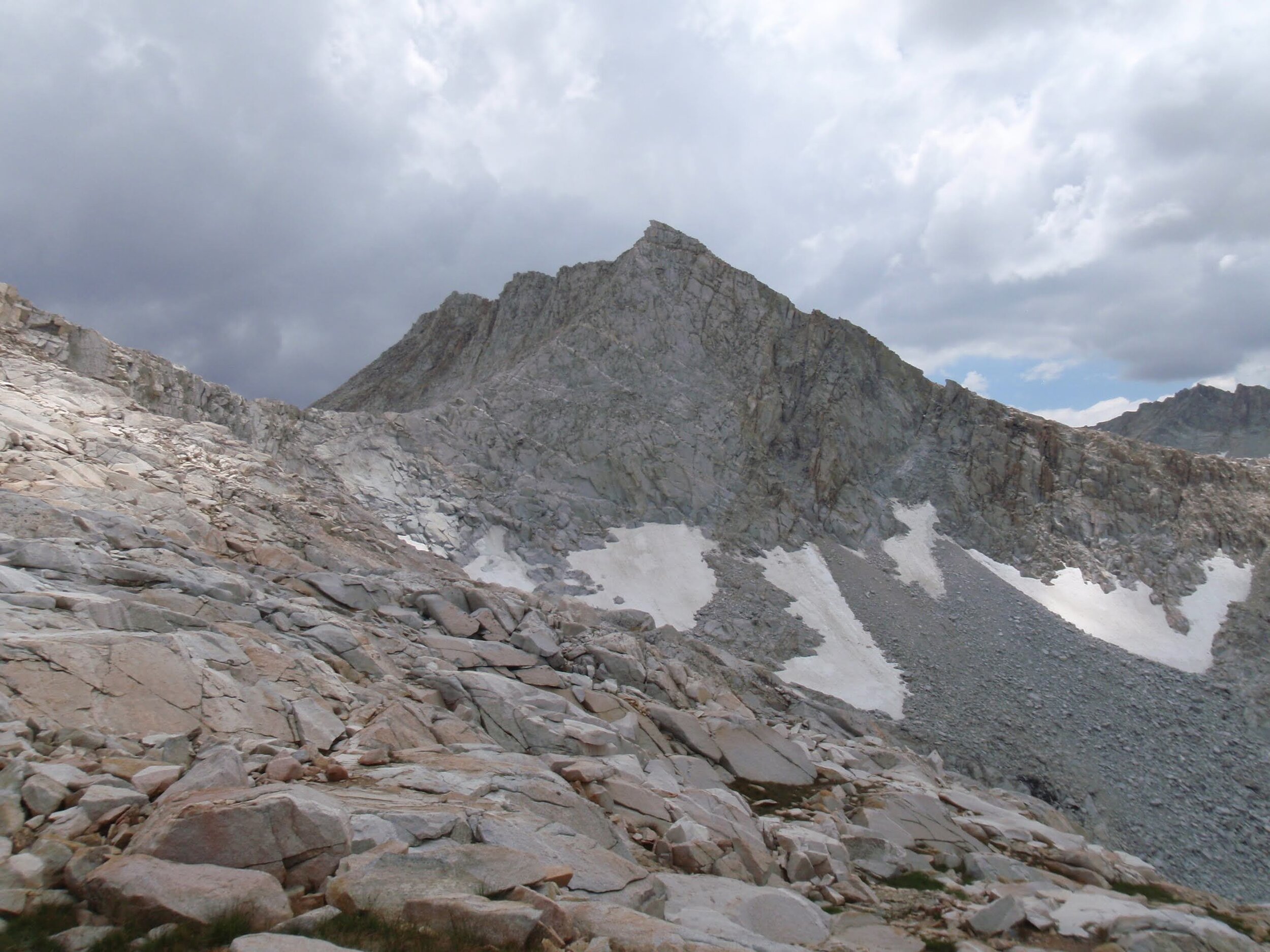
This was our first visit to Granite Park and we were both awed by its beauty. The name fits it perfectly, as it felt like a playground of granite, water, and low trees under the deep blue Sierra sky. We stuck to the “trail,” which is fairly well-defined in areas but just a series of cairns in others, and completely absent in places. Regardless, routefinding in this wide open basin above treeline was not difficult. We stayed to the left of the ridge that separates the Chalfant Lakes from the rest of the basin and worked our way up the valley. Italy Pass cuts a deep u-shape in the imposing ridge that creates this cirque. Although the wall looks impossibly steep from down-valley, it is a sufficiently popular route that we had no doubt it would be much easier than it seemed.
As we neared Italy Pass, we started to appreciate views back behind us, including Mt. Humphreys on the far edge of Humphreys Basin. At just under 14,000’ it isn’t one of the tallest Sierra peaks, but what it lacks for in height it makes up for in prominence, and it has a very distinctive shape so it is easy to pick out. We had Granite Park to ourselves and wondered if we would see anyone else once we left the trail on the other side of Italy Pass.
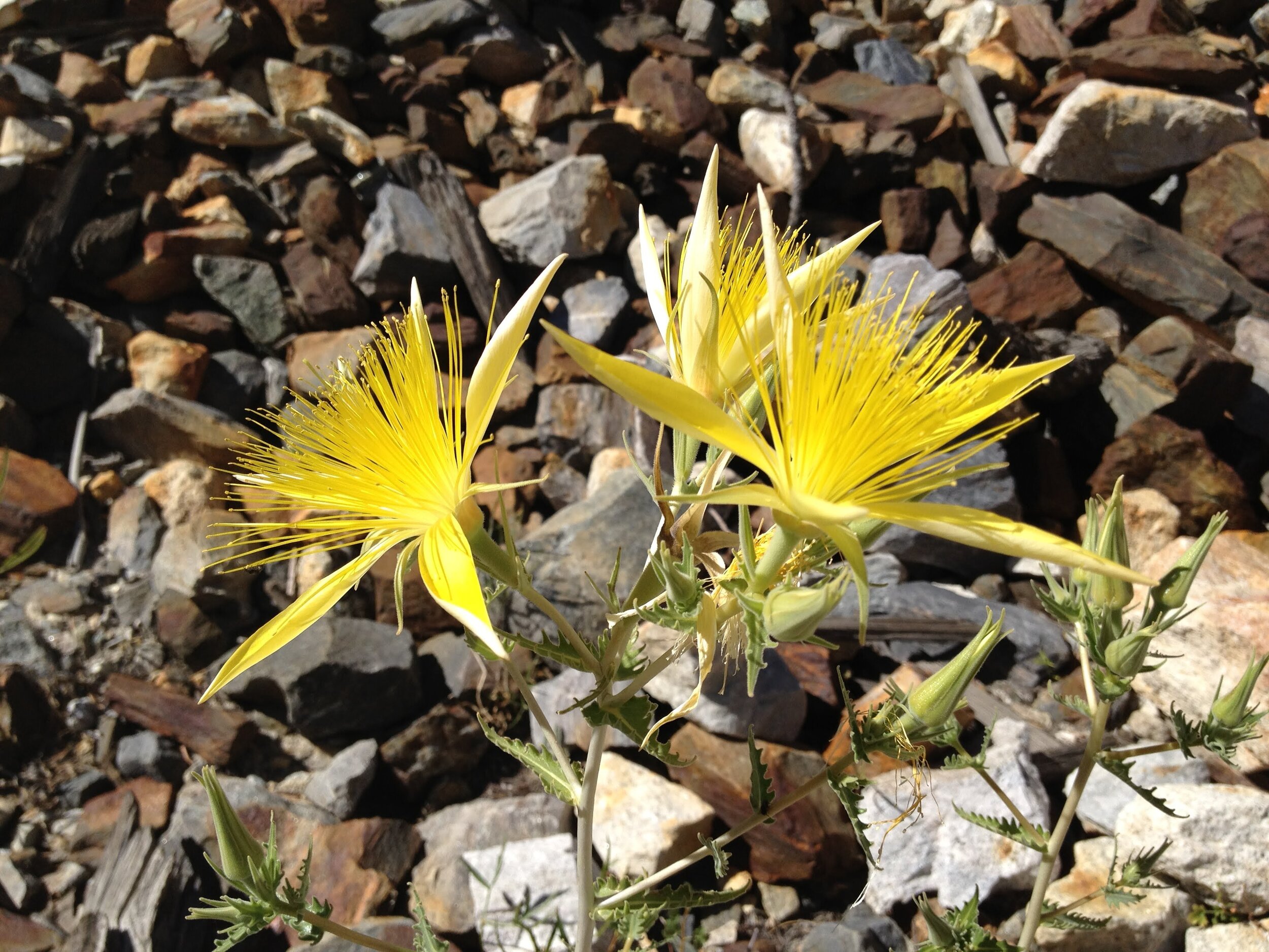
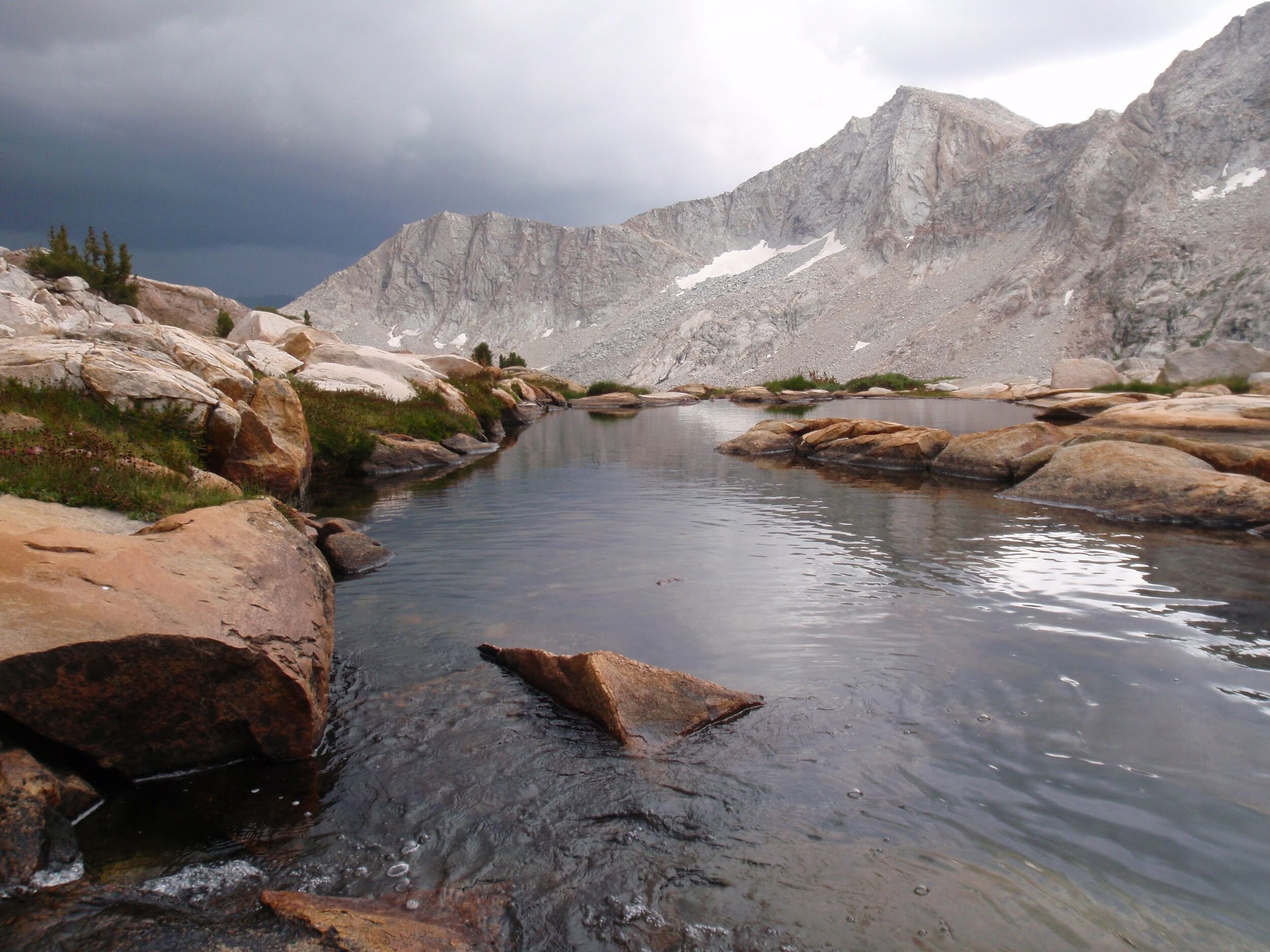
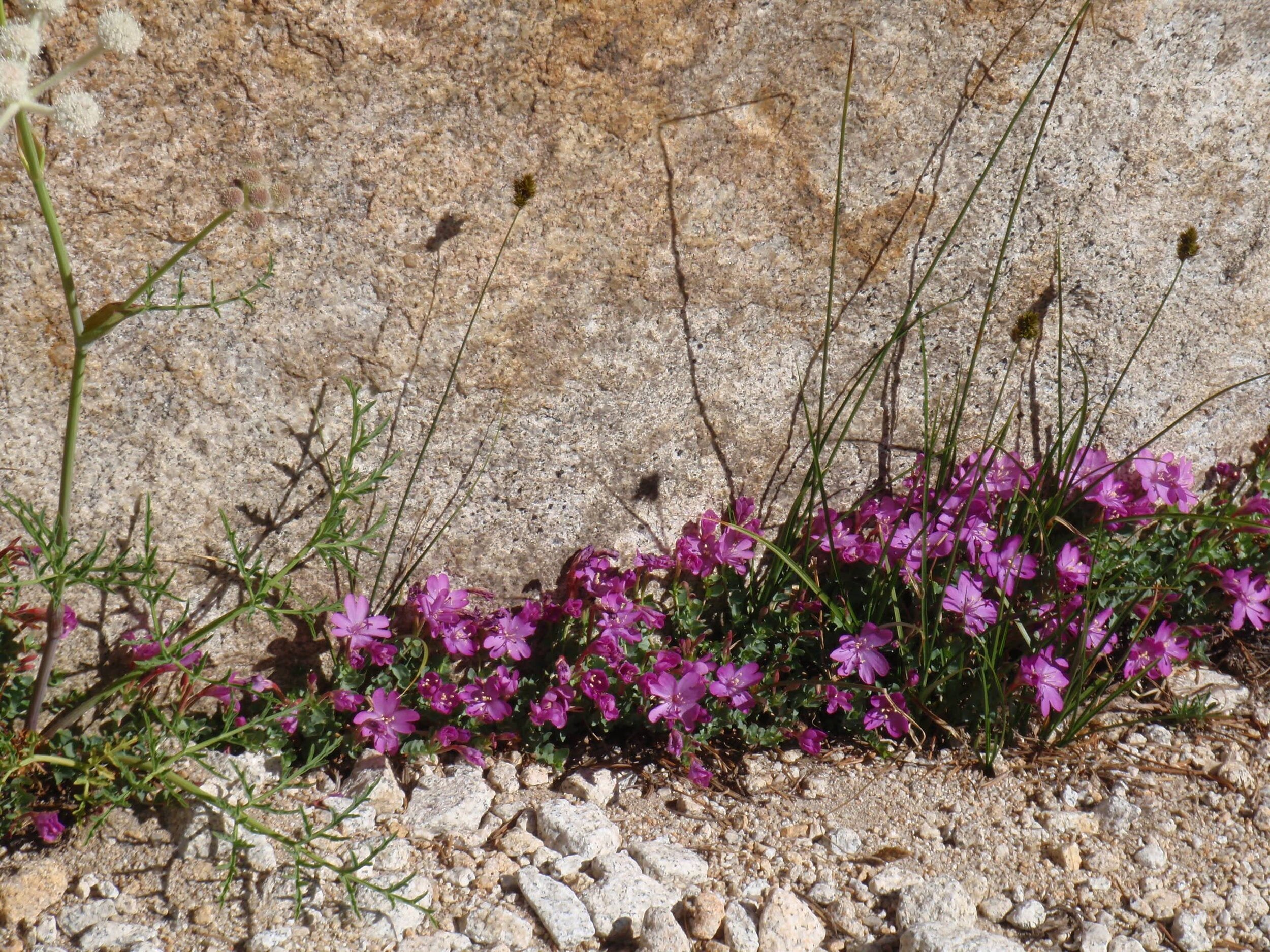
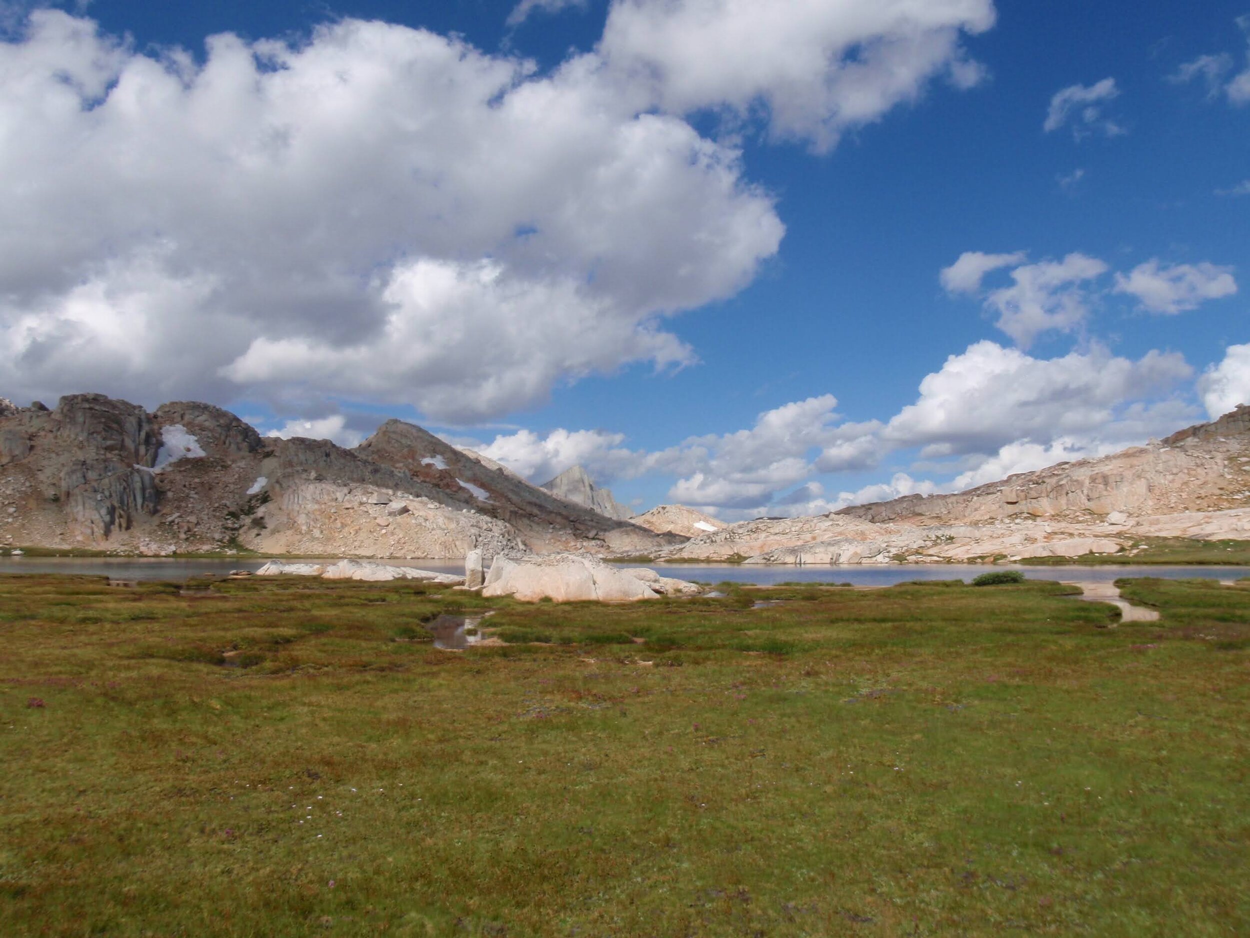
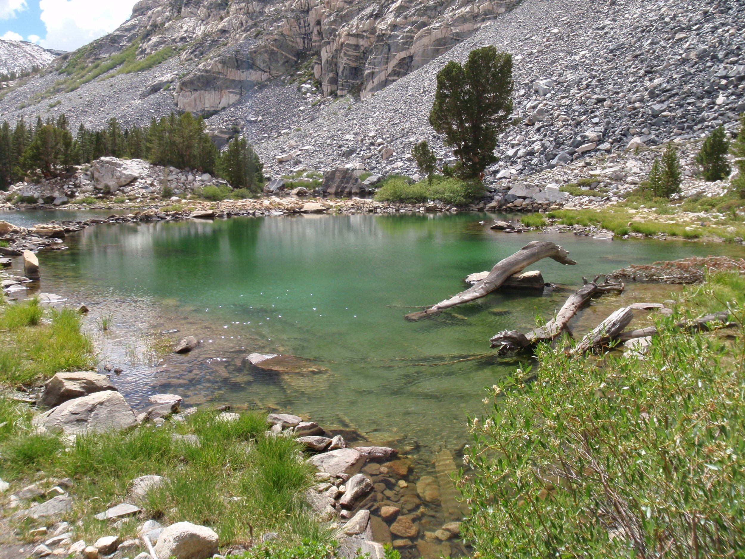
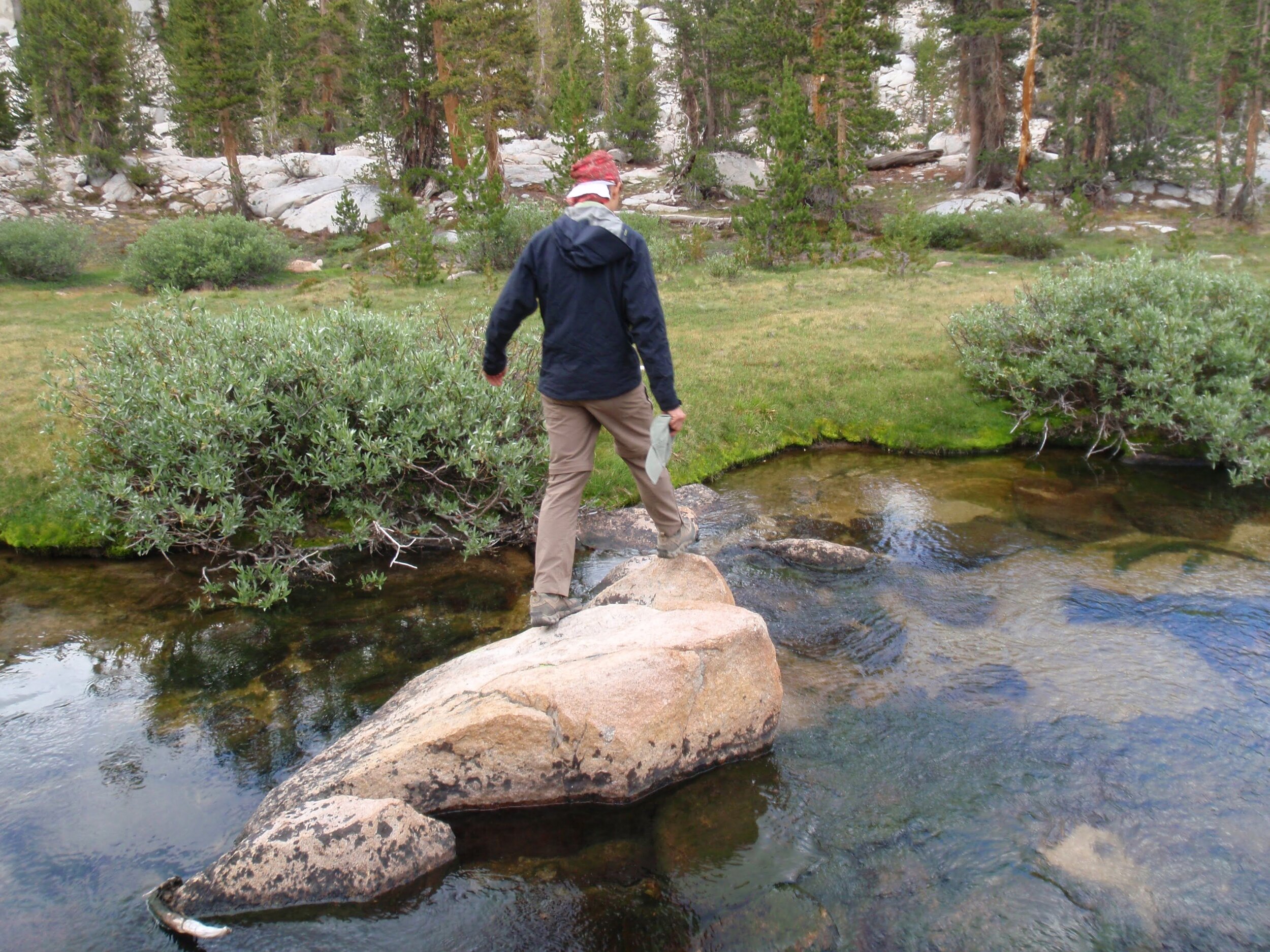
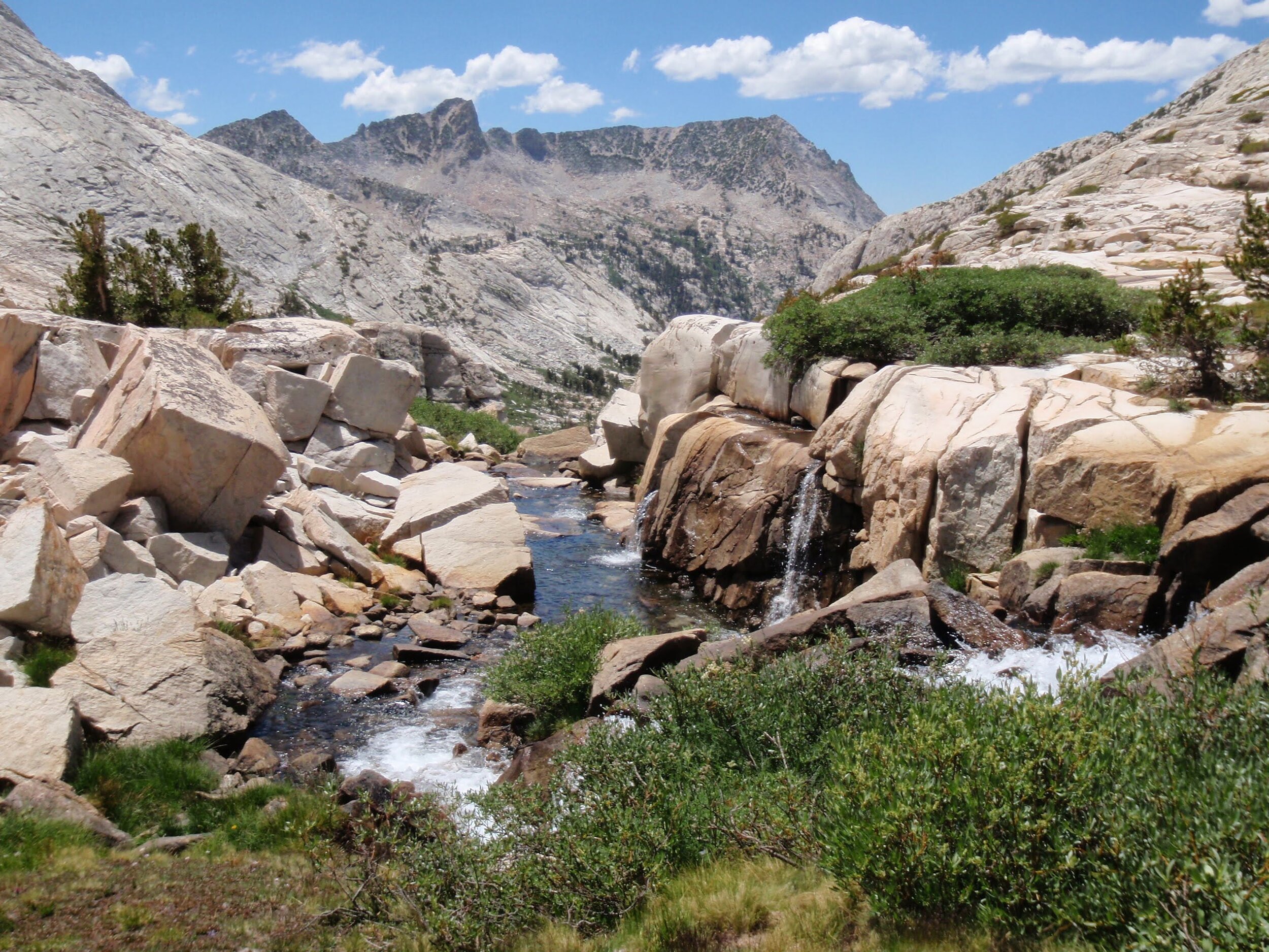
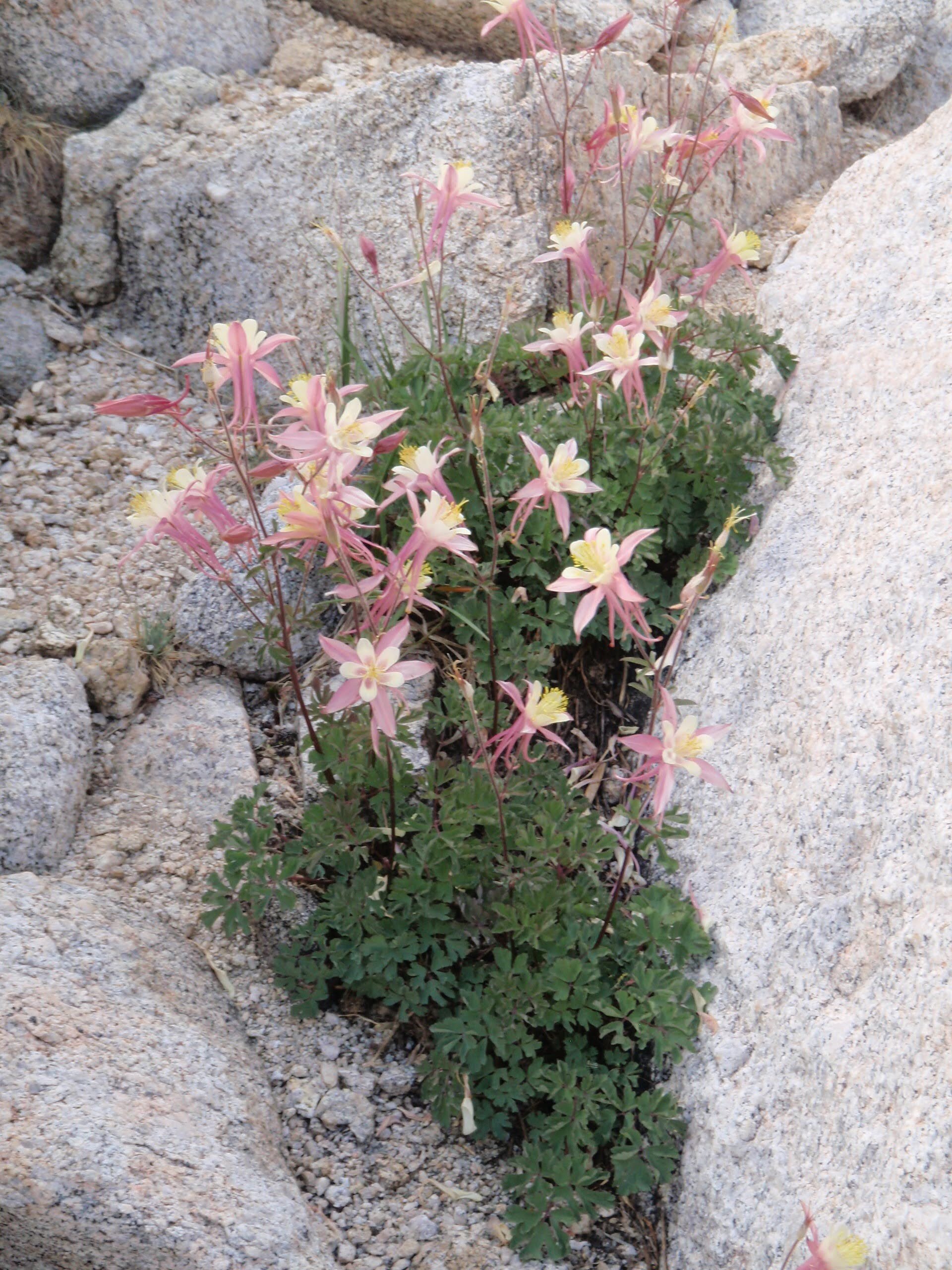
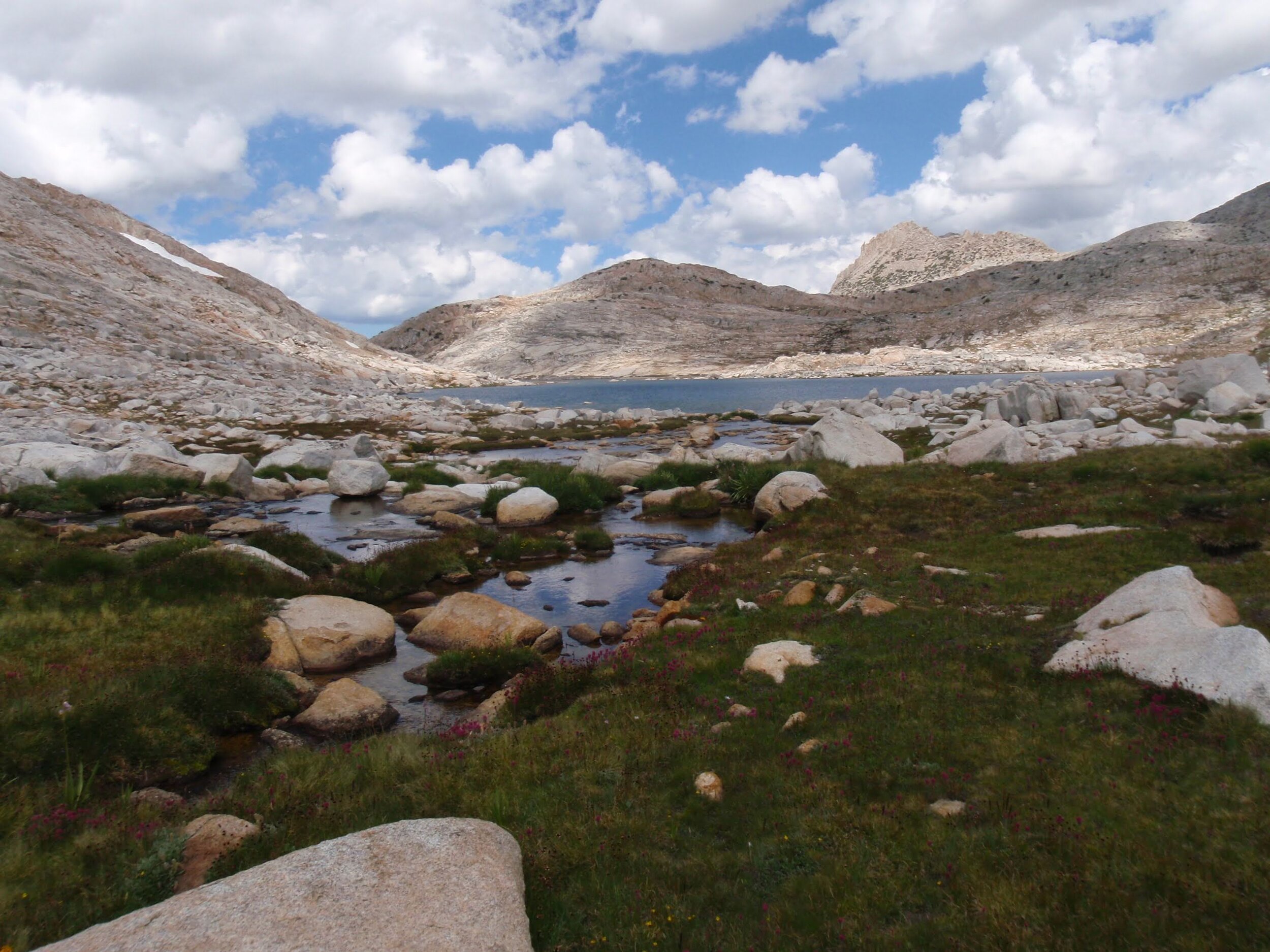
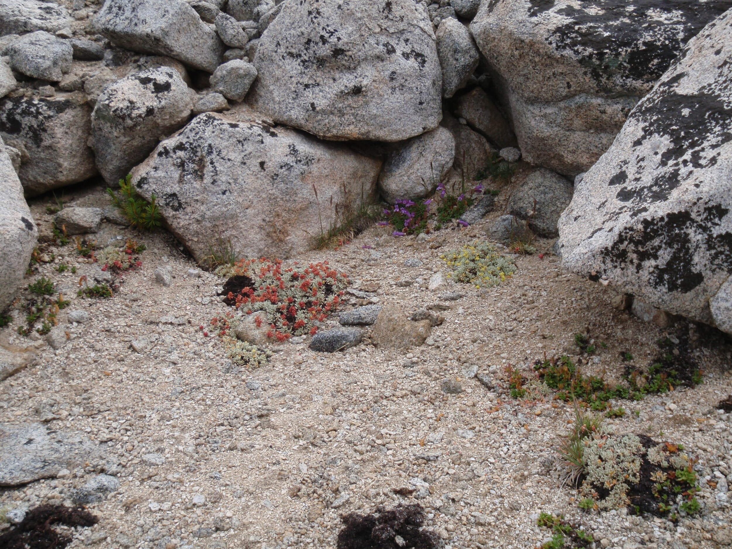
Many have described Lake Italy as dull, bland, a wasteland of talus, etc. Imagine our surprise when we got our first view of this huge green beauty of a backcountry lake surrounded by spectacular granite peaks. Sure, the shoreline had plenty of talus and it was above treeline, but we couldn’t find a reason to agree with those haters. We passed through a riot of blooming columbine and shooting stars, some of our favorite wildflowers, as we made the easy descent towards the lake. On arrival we couldn’t help but take advantage of the spectacular weather and have a quick dip, then lay out on the warm rocks to dry off before heading out for our next objective, Bear Lakes Basin.
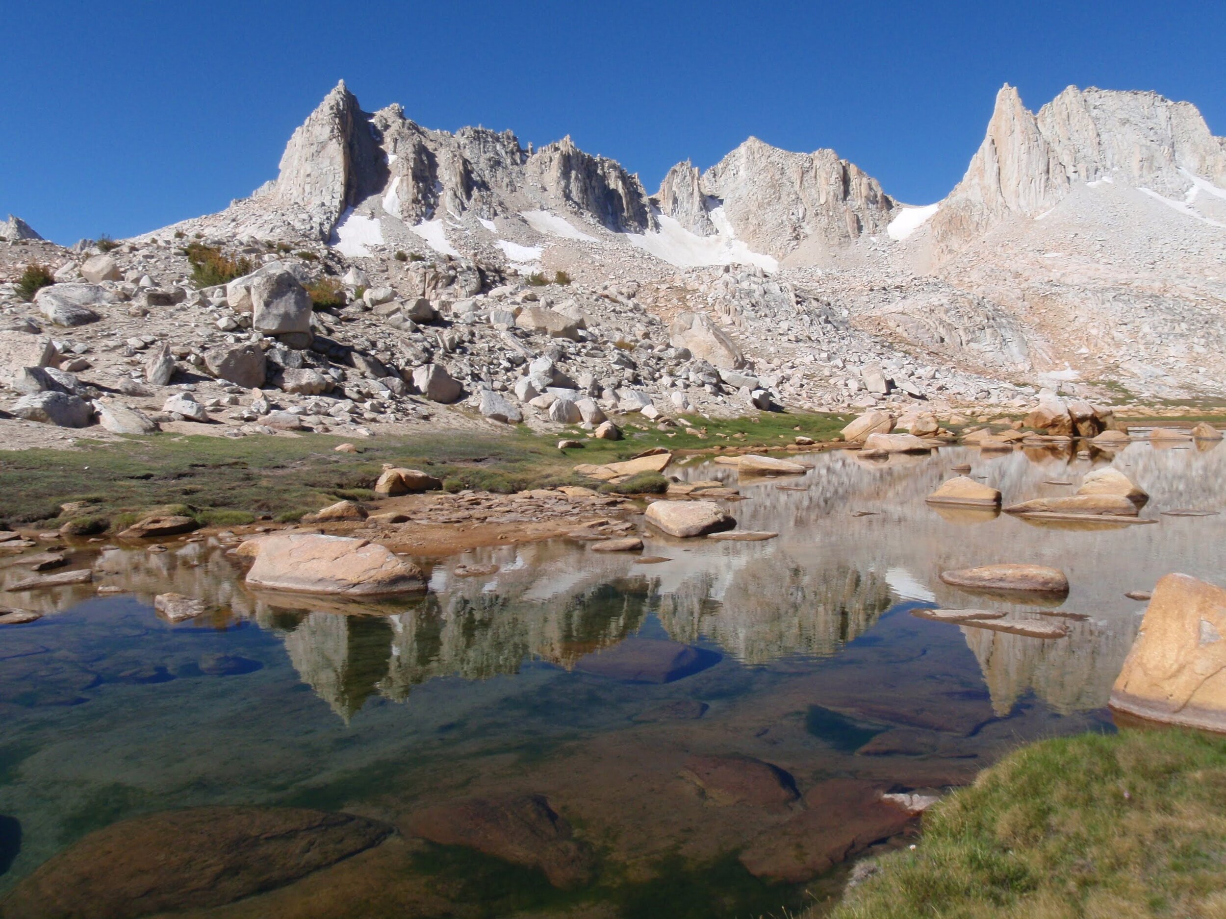
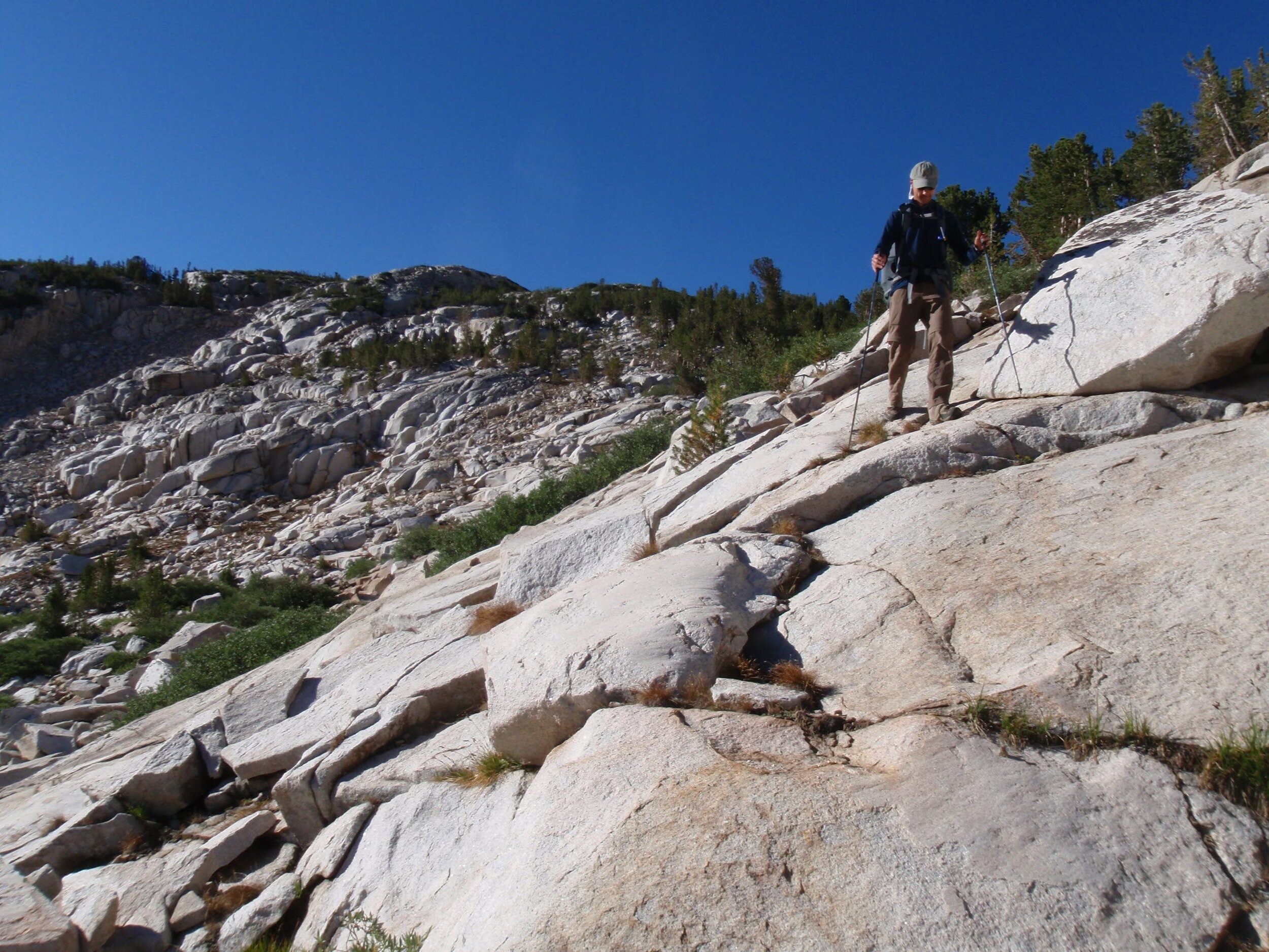
There are a few options for entry into Bear Lakes Basin. Many have recommended Dancing Bear Pass as the easiest & most direct approach for those coming over Italy Pass, but we decided to give White Bear Pass a try to see more of the lakes in the basin and to experience more of the length of Lake Italy. We left the “trail” along Hilgard Branch, not far below the lake, and easily picked our way to Brown Bear Lake. The pass looked just a tad menacing as we walked along its shore, but as with many cross-country passes in the Sierra we found that taking it just one step at a time we could easily keep the difficulty to a minimum. We stayed well to the (hiker’s) left through much of the climb, and this kept us out of some steep cliffs and loose scree on the opposite side.
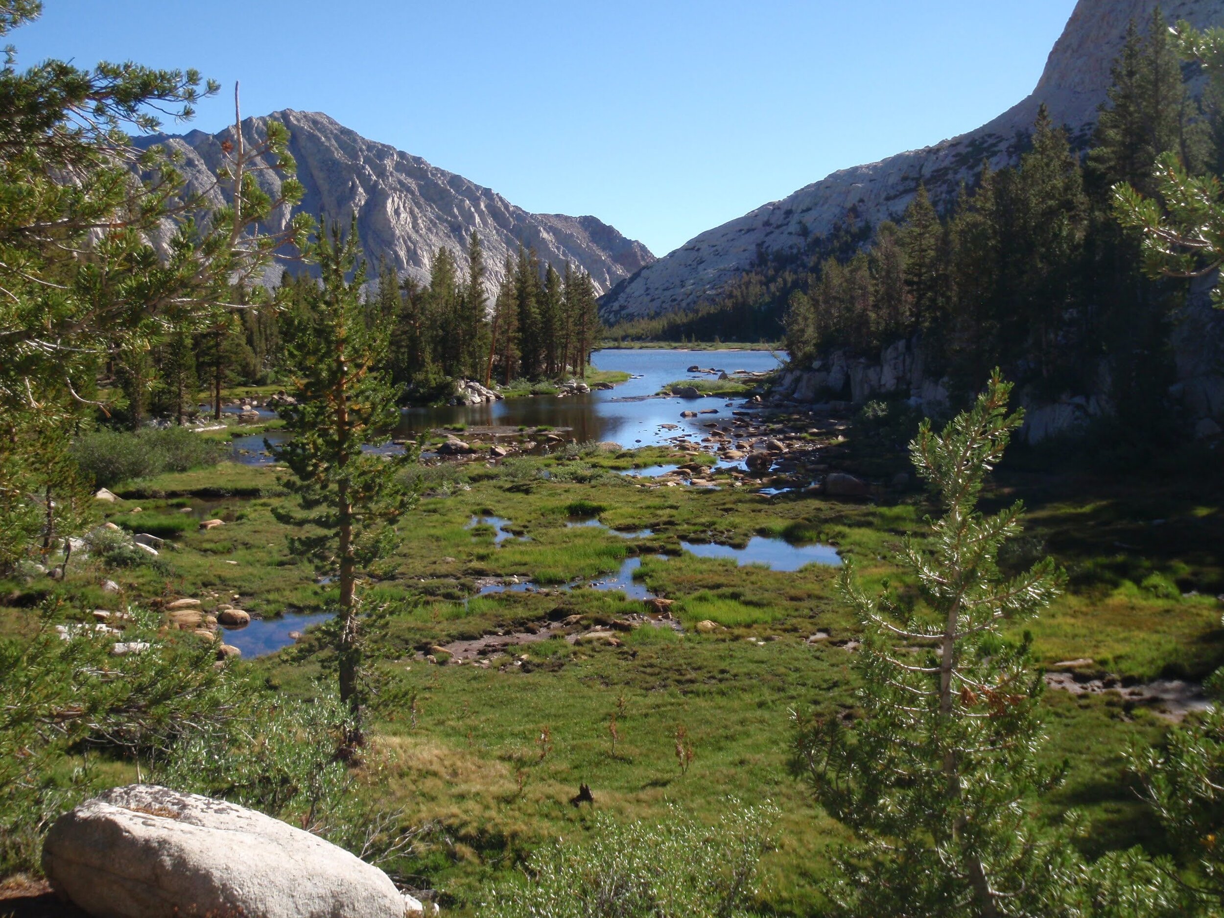
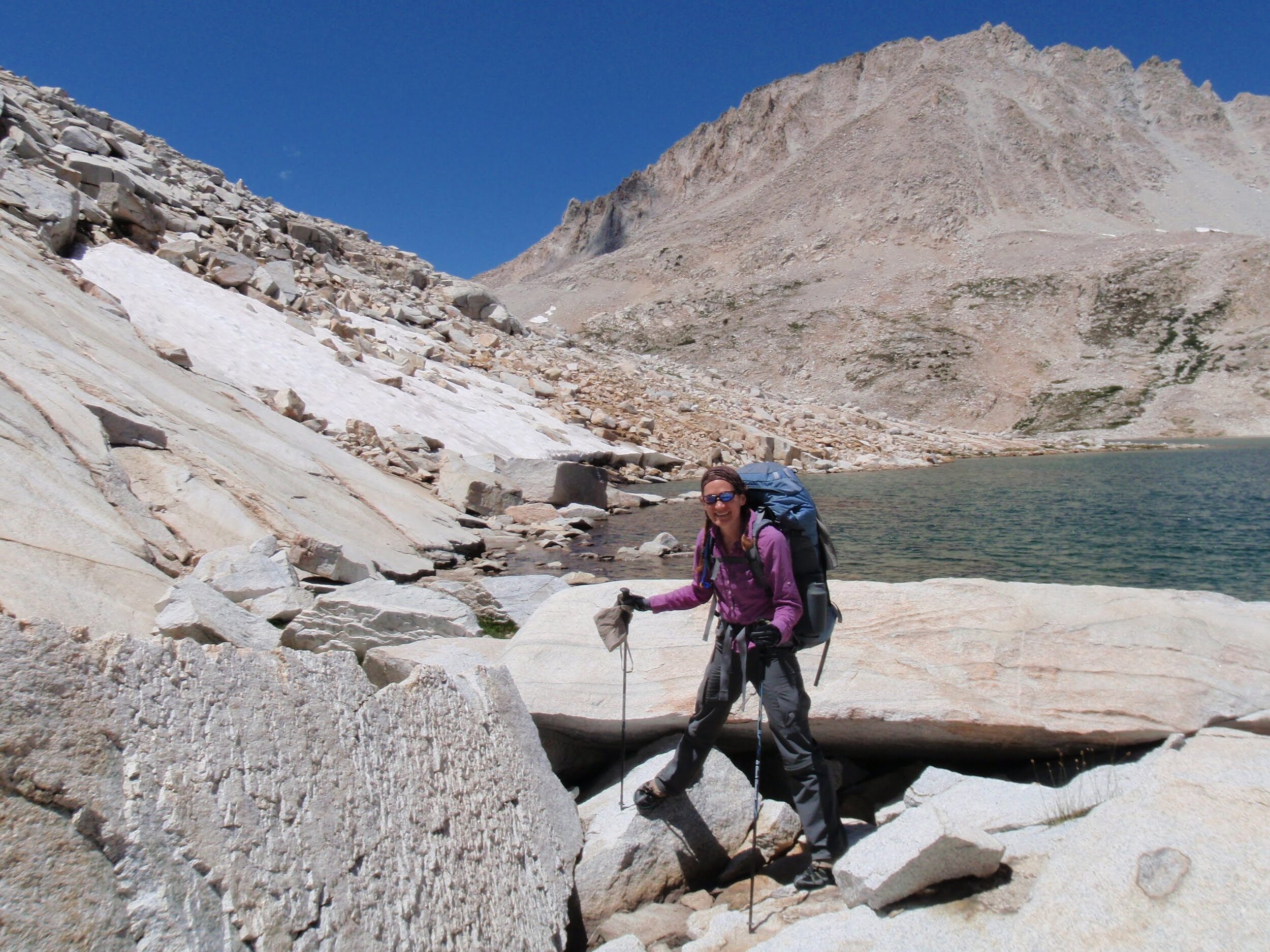
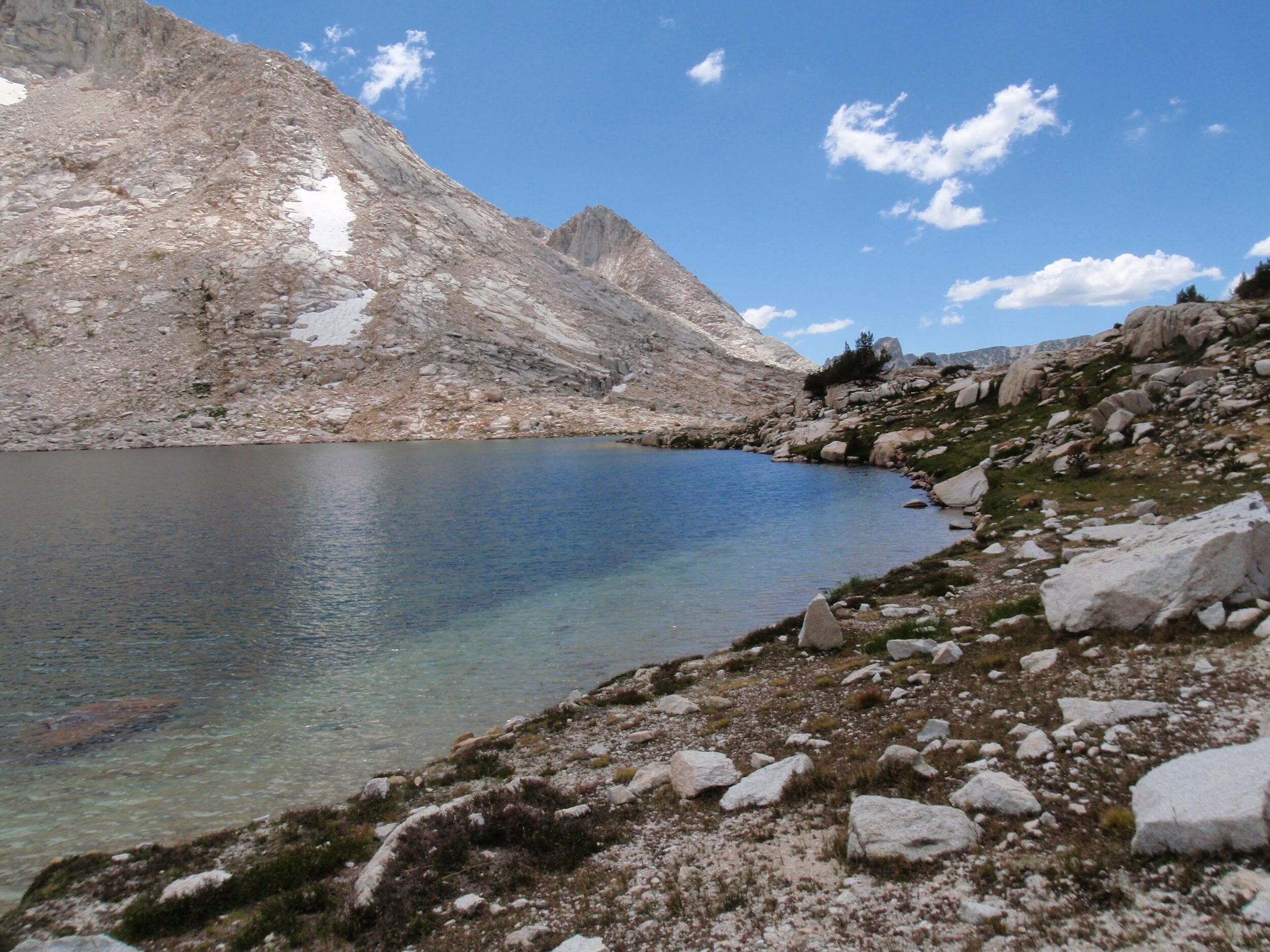
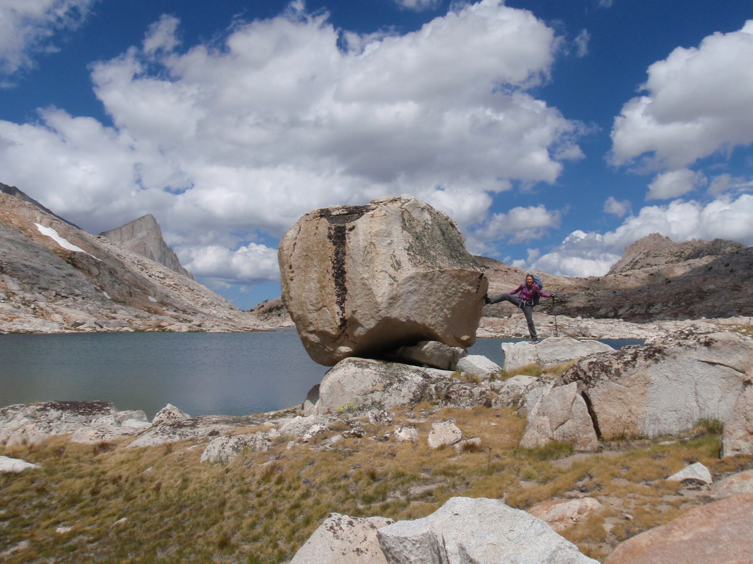
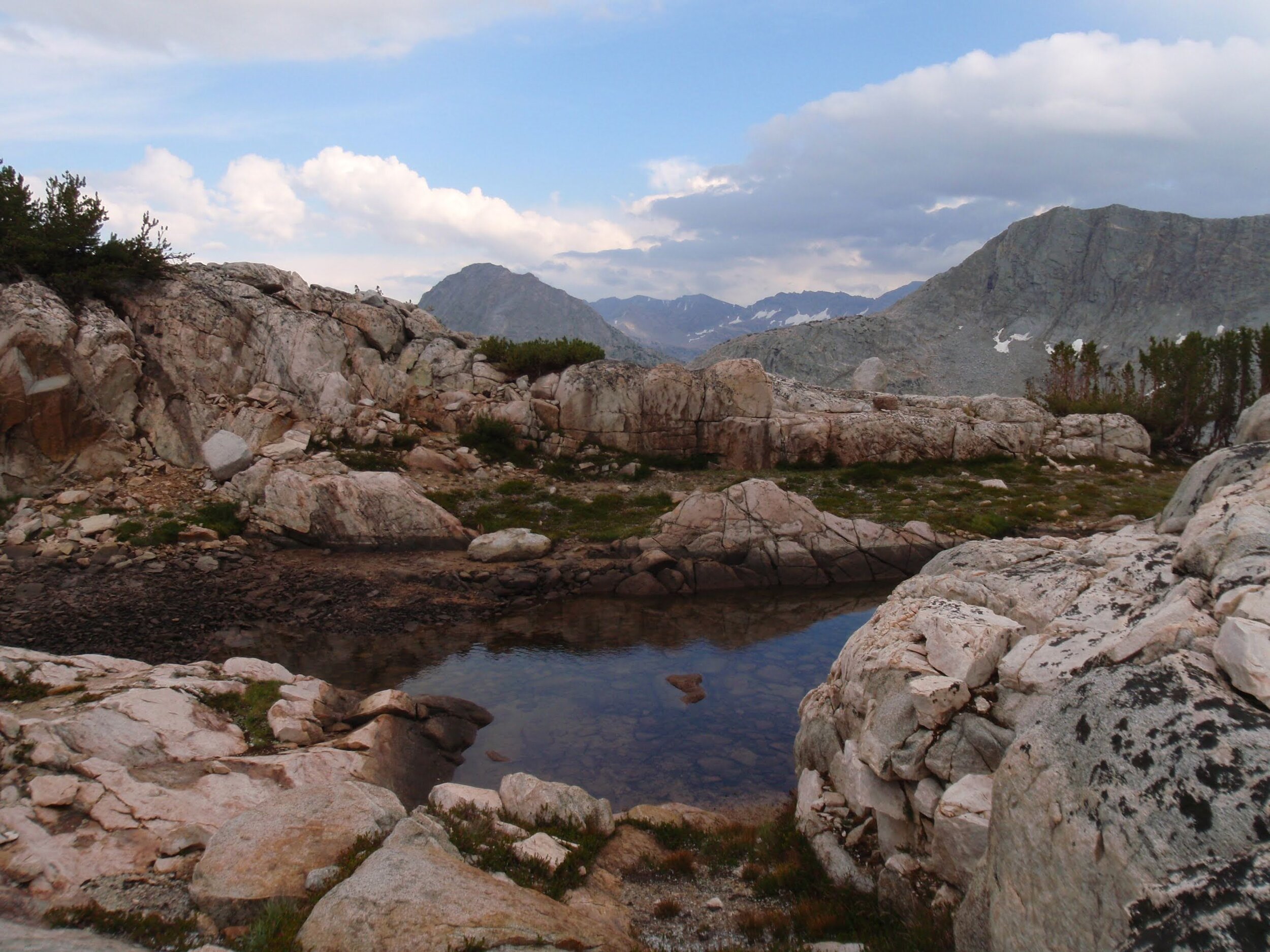
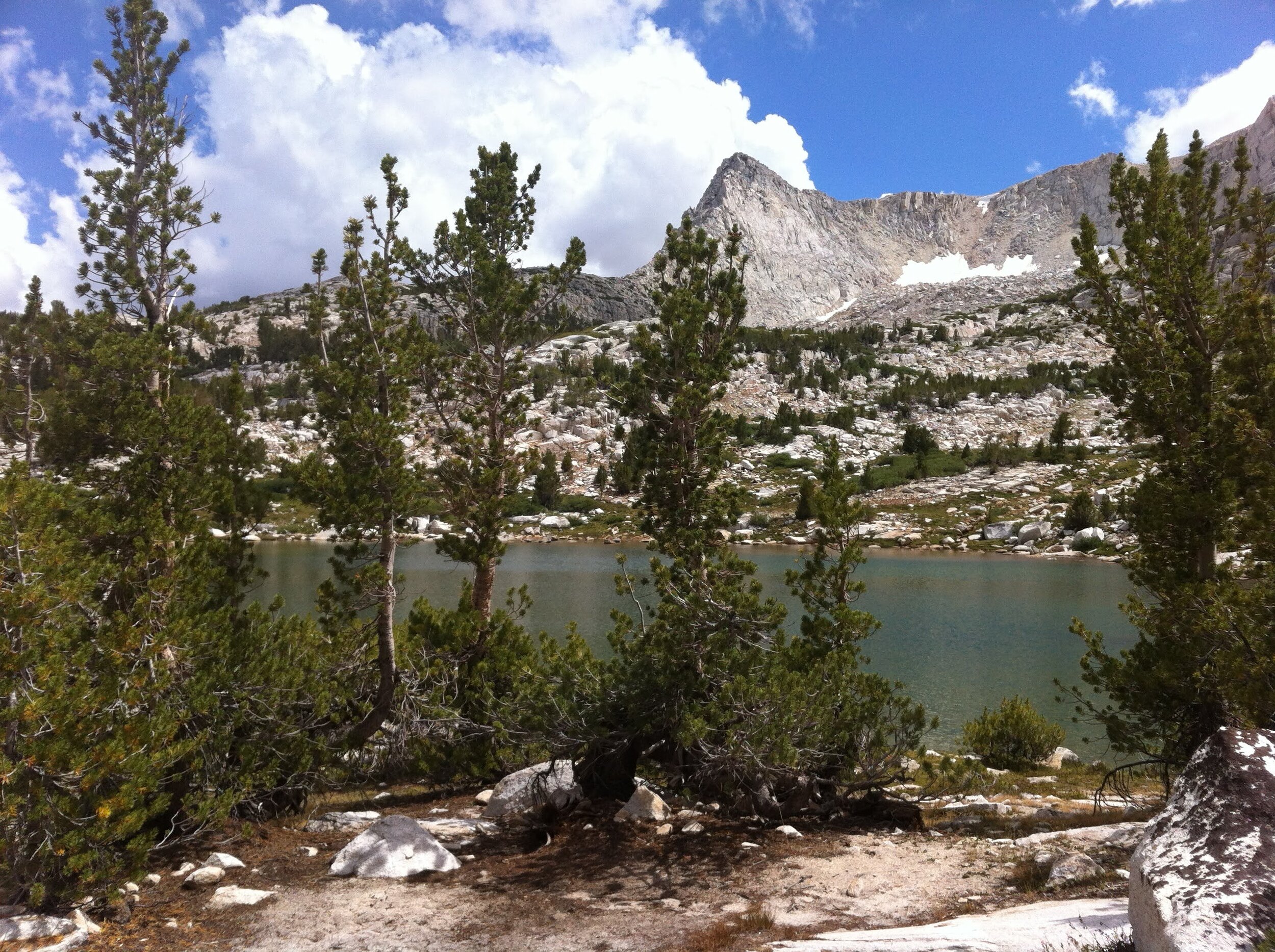
We passed a teeny tarn nestled in the pink granite just before the pass, then crested the top and discovered idyllic White Bear Lake sitting right below us. It made a perfect spot for a mid-afternoon break and ogling of iconic Seven Gables across its narrow end through a cut in the ridge. What a sweet reward for our climb!
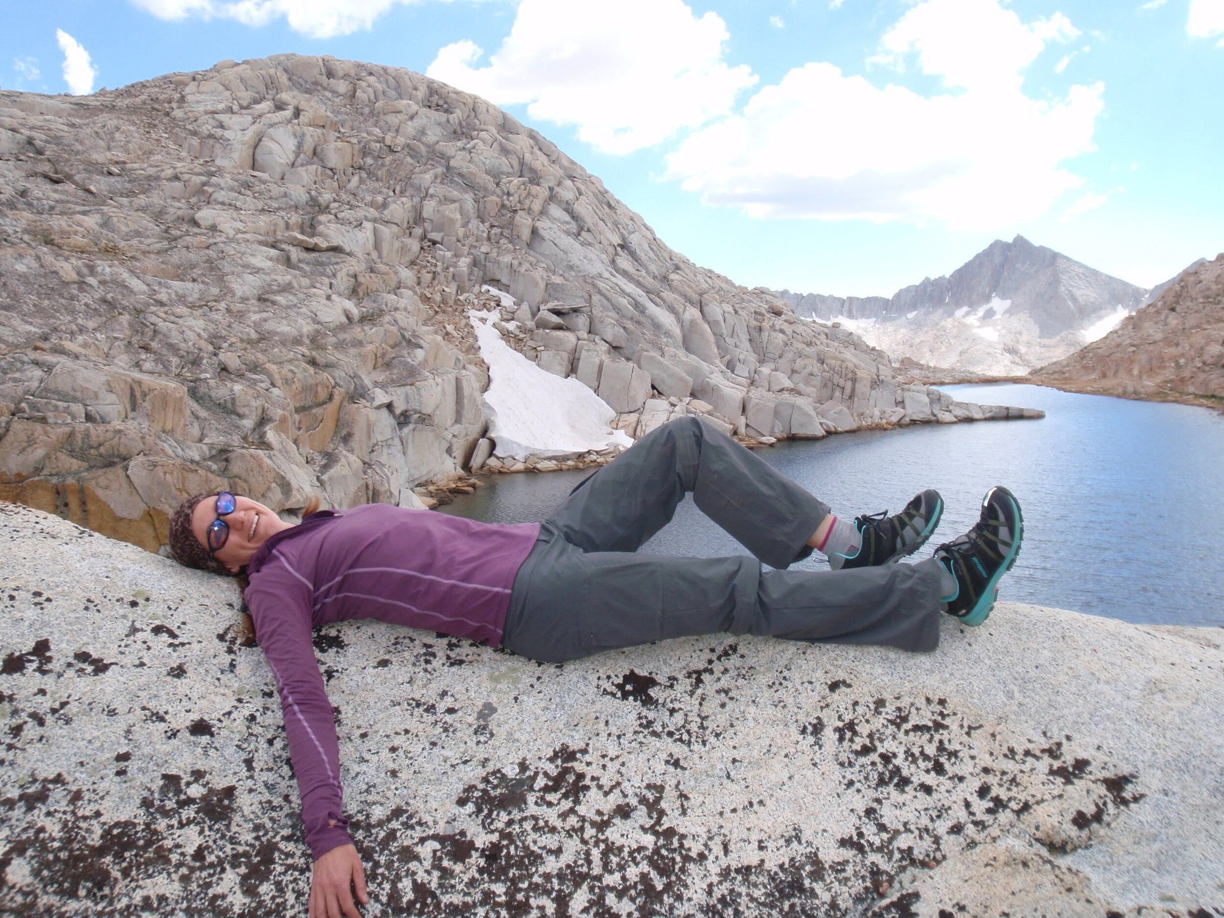
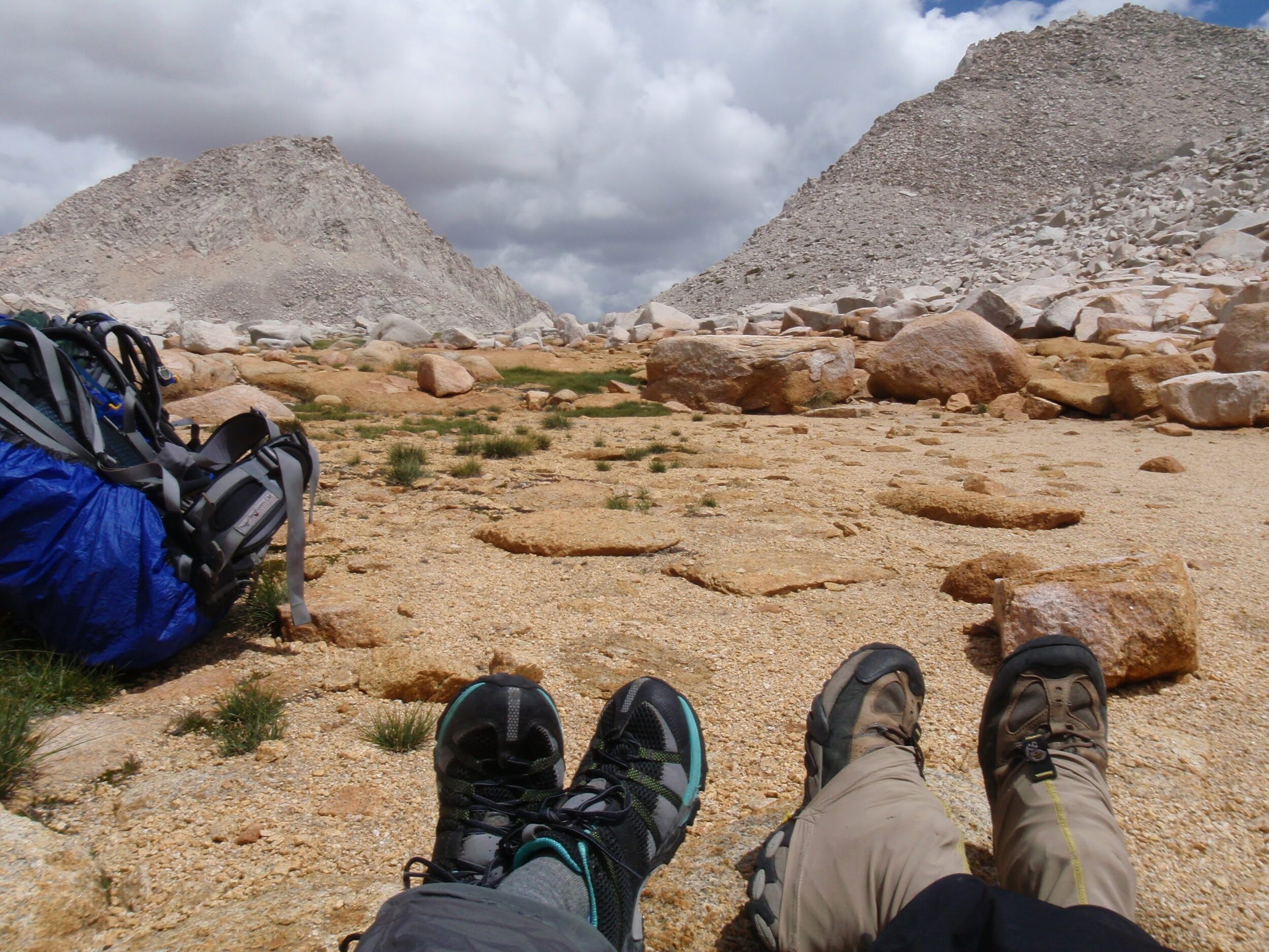
Below us was our destination for the night, Black Bear Lake. On the way down, we picked up views of Big Bear Lake far below, also framed perfectly by Seven Gables. We’d soon learn that this peak dominates most views in the Bear Lakes Basin, along with its “twin” Gemini. We made our way down to the large Black Bear Lake as the sky once again brewed what looked very much like afternoon stormclouds. We picked a spot on bare DG far enough from the lakeshore to minimize impact but near enough for water access, and decided to gamble that the clouds would dissipate before evening as we threw our sleeping bags out on just a tarp. We had a swim in our lake, and meandered around enjoying the views in what seemed to be our own private corner of the Sierra Nevada. Sure enough, by the time alpenglow rolled around on Feather Peak across the lake, the sky was completely cloudless.
Day 2 Stats: 7.5 miles (5.3mi trail + 2.2mi off-trail) | 3135’ climb | 2205’ descent
Day 3: Black Bear Lake (~11,750’) to Merriam Lake Overlook via Vee Lake & Ruskie Pass
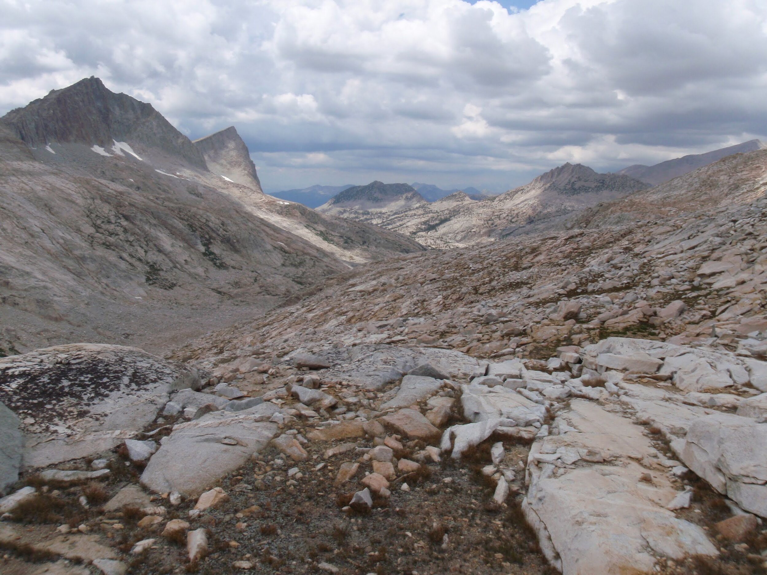
We woke to puffy clouds and the perfect cool of a late July morning at nearly 12,000’. Our plan for today was to work our way through Bear Lakes Basin then along the Seven Gables Lakes to the base of Ruskie Pass. If all went well, we would use this route to access the basin above Merriam Lake. We always keep multiple options in mind while backpacking, especially during off-trail travel, to avoid feeling pressured into making poor decisions. We noted the locations of nearby Feather Pass and Dancing Bear as they would be our main alternates if we decided we didn’t like the looks of Ruskie, or if weather or other considerations forced a change in plan.
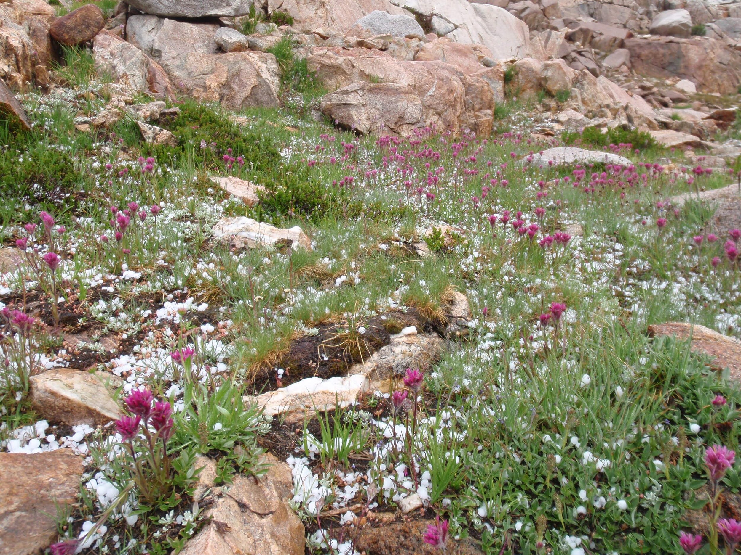
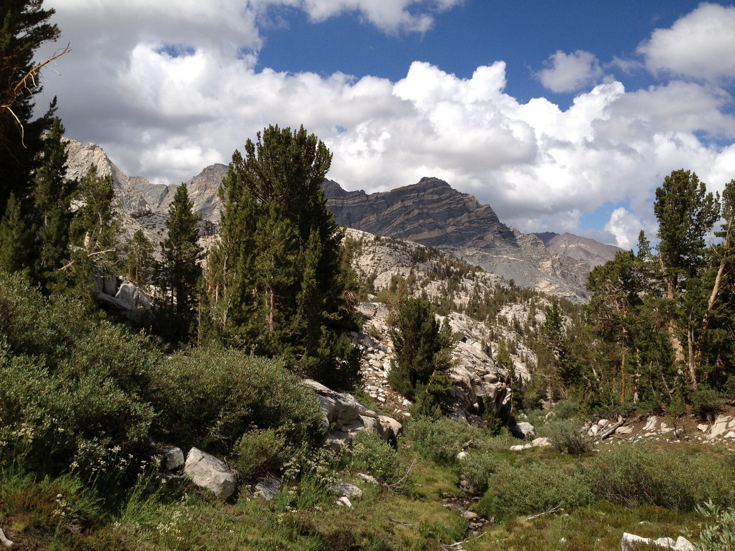
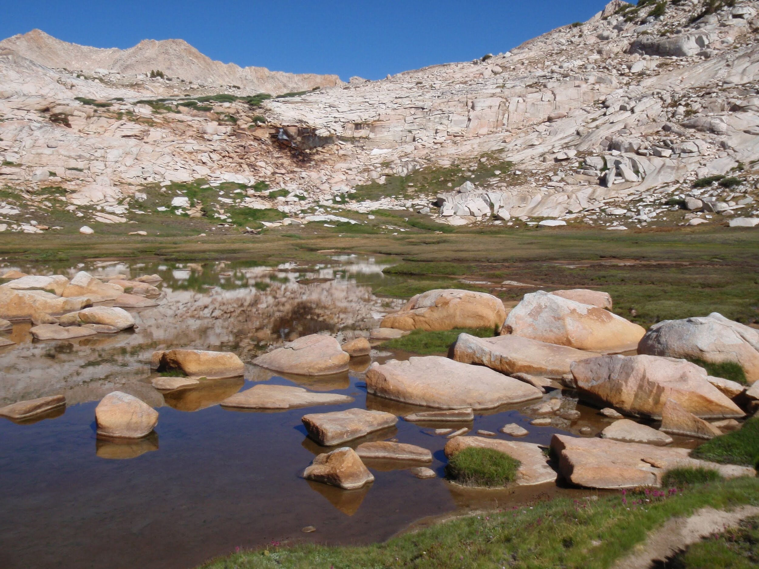
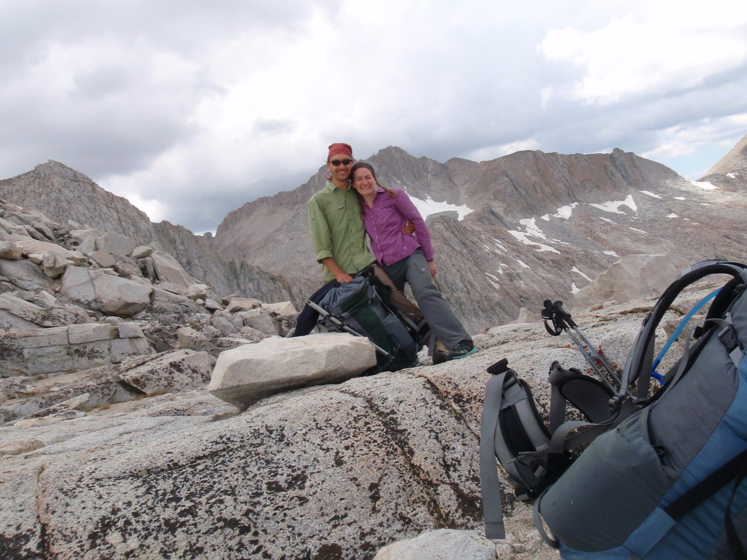
We still had Bear Lakes Basin to ourselves, as far as we could see/hear. While there is plenty of micro-terrain in this pretty little basin, cross-country travel remained quite straightforward. It required just enough thought to be interesting, without ever posing major difficulties. We did revise course a few times to avoid little clifflets but generally spent the morning passing easily through fresh green grass and blooming wildflowers among bulging granite boulders and jewel-blue lakes, all against the backdrop of the split-top peak of Seven Gables. We did come across a cairn or two, but otherwise found no trace that anyone had ever set foot in this spectacular place. We knew this not to be true, of course, but it still felt pretty magical.
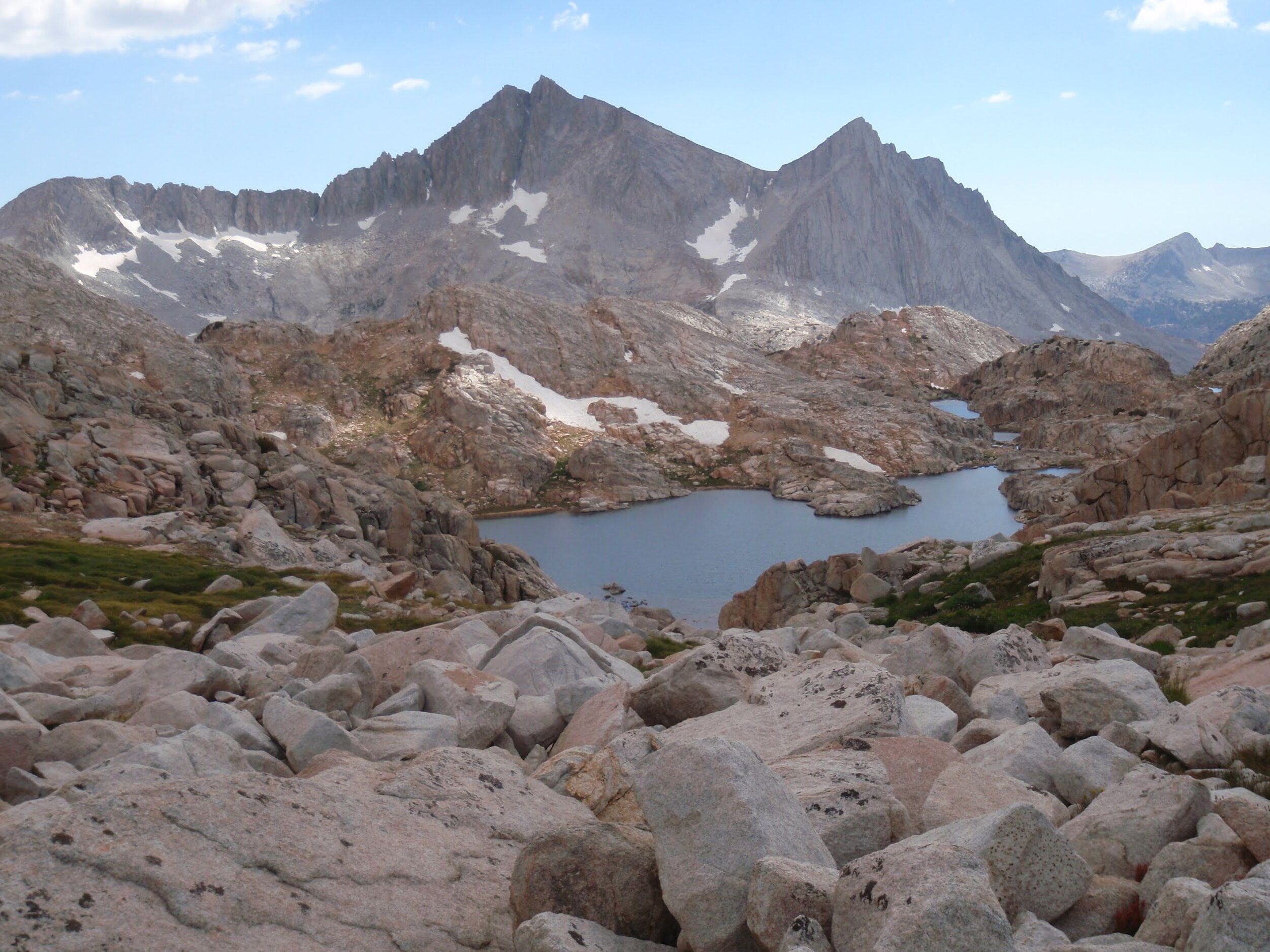
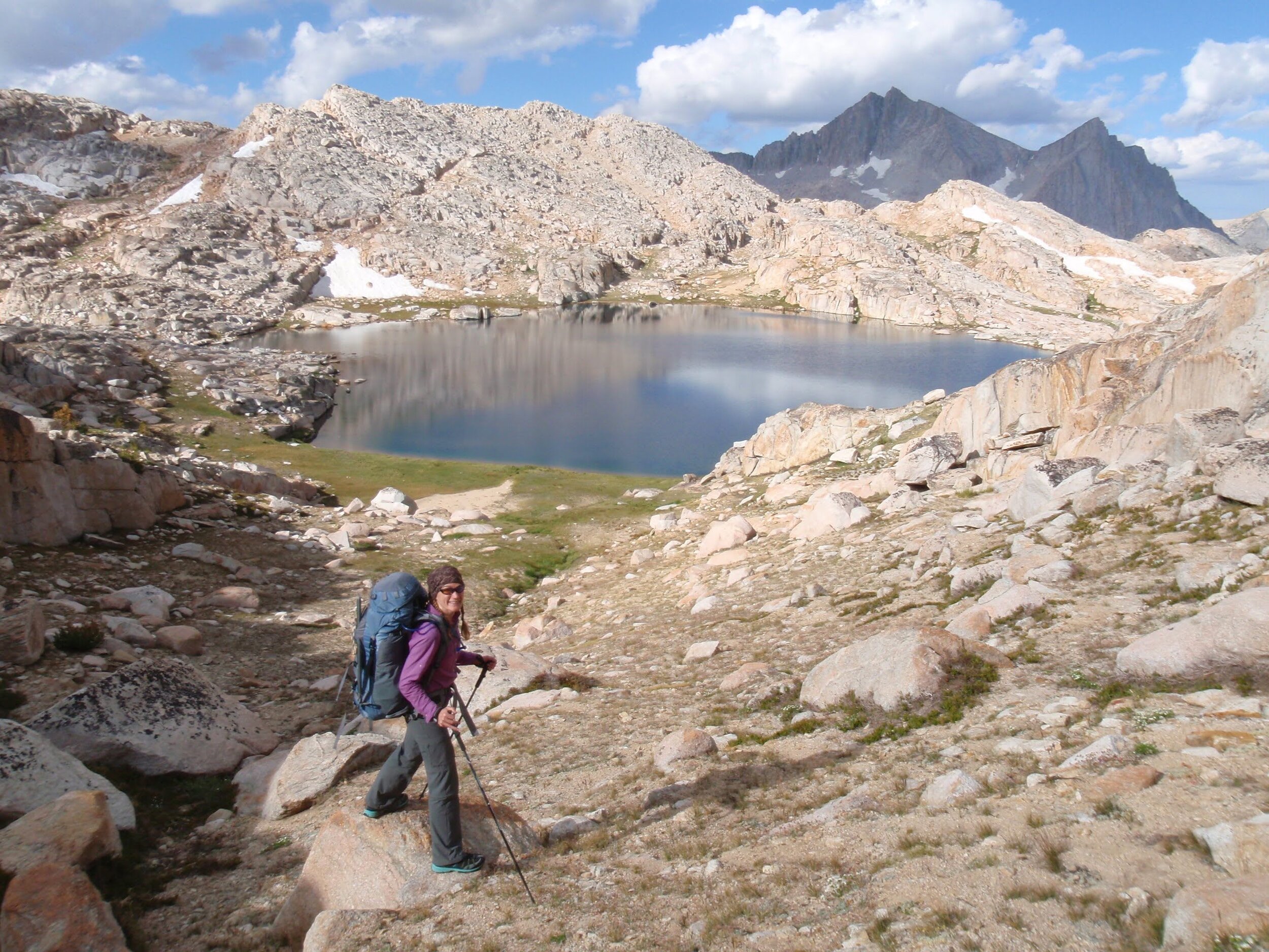
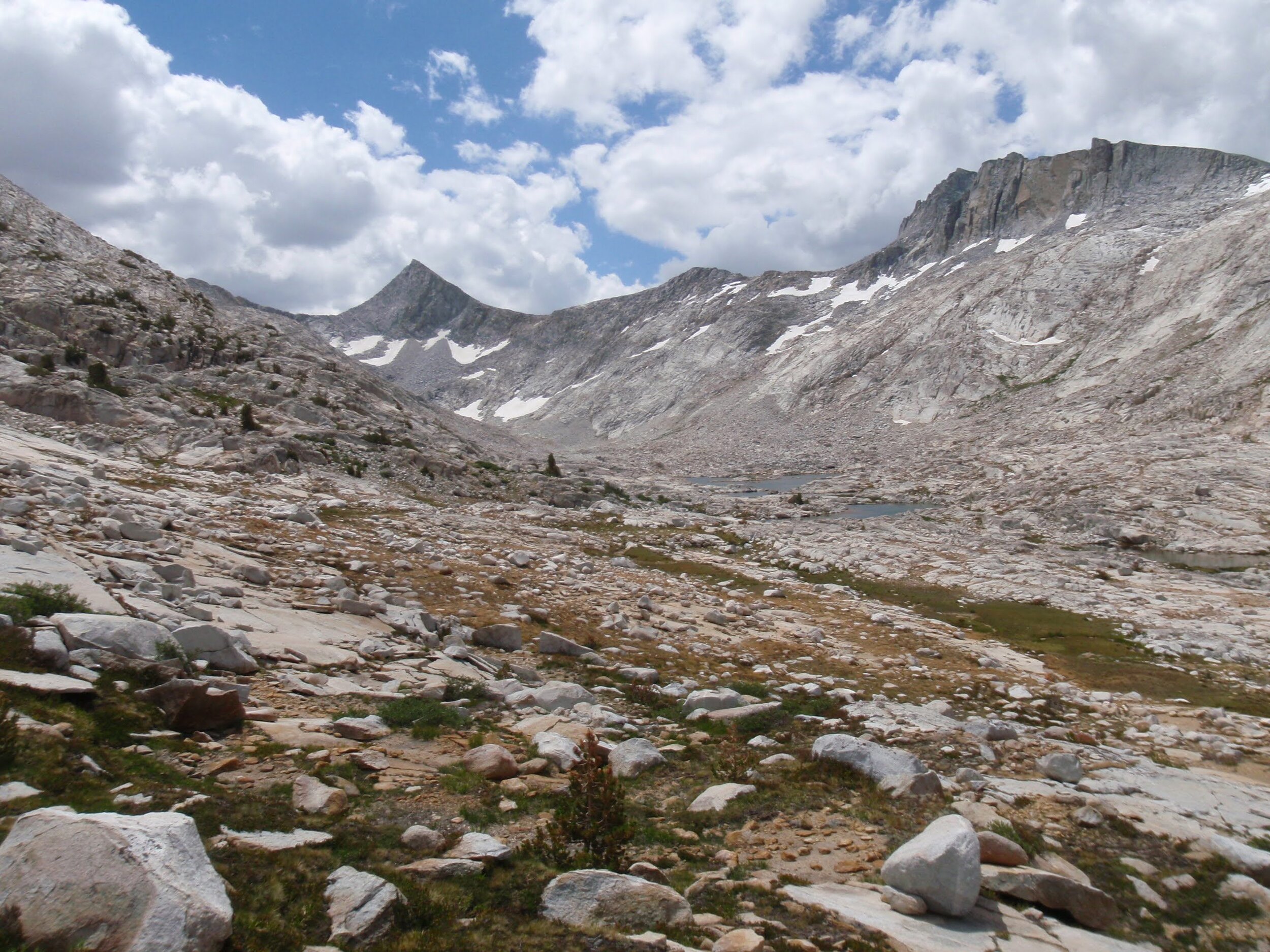
Our first stop was the trio of Ursa, BearPaw, and Big Bear Lakes. From there, we went over a low notch we called Cairn Pass for the stacks of rocks marking it as someone’s preferred route. We traversed over to Den Lake where we enjoyed a mid-morning snack and views of the lakes below us. Claw and Tooth Lakes were decent alpine lakes in their own right, especially against the rocky cirque that held LaSalle Pass (greater difficulty than Ruskie, so not on our list). Unfortunately for them, they are right next door to spectacular Vee Lake, so they probably never get any attention. This large heart-shaped lake comes to a point right at the edge of Bear Lakes Basin, with Seven Gable rising above its outlet just one basin over. It makes for a view so classic it’s hard to focus on anything else. It’s no surprise that all those who visit little Bear Lakes Basin tend to wax poetic about it. What’s not to like?
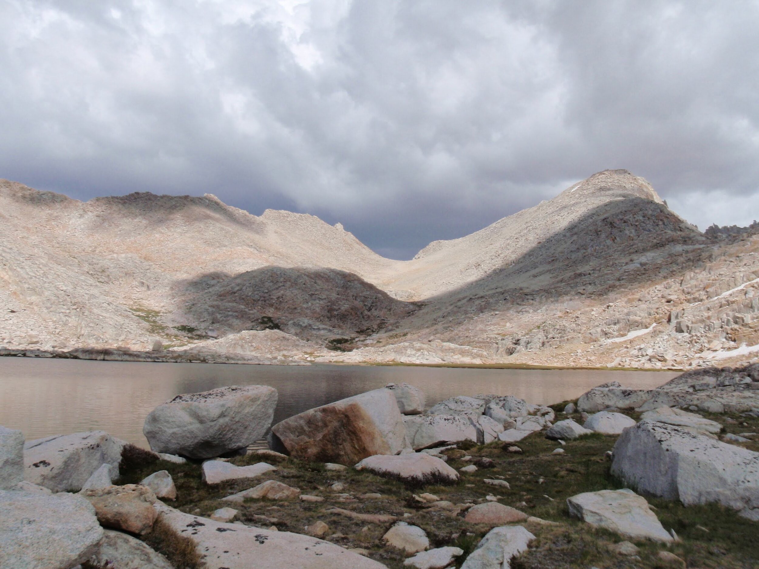
We dropped down alongside the outlet of Vee Lake then contoured south to meet up with the Seven Gables Lakes. Although these lakes sit at a lower elevation than any part of the Bear Lakes Basin, the basin is narrow and deep and faces north so it should be no surprise that we found ourselves in a barren rocky landscape characterized only by rock, water, and sky. Dry grass poked up between boulders on the shoreline of the larger lakes, but there were no wildflowers to speak of and certainly no trees. We rock-hopped our way to the head of the basin as clouds once again built overhead and turned the sky an ominous grey over Ruskie Pass, our next objective.
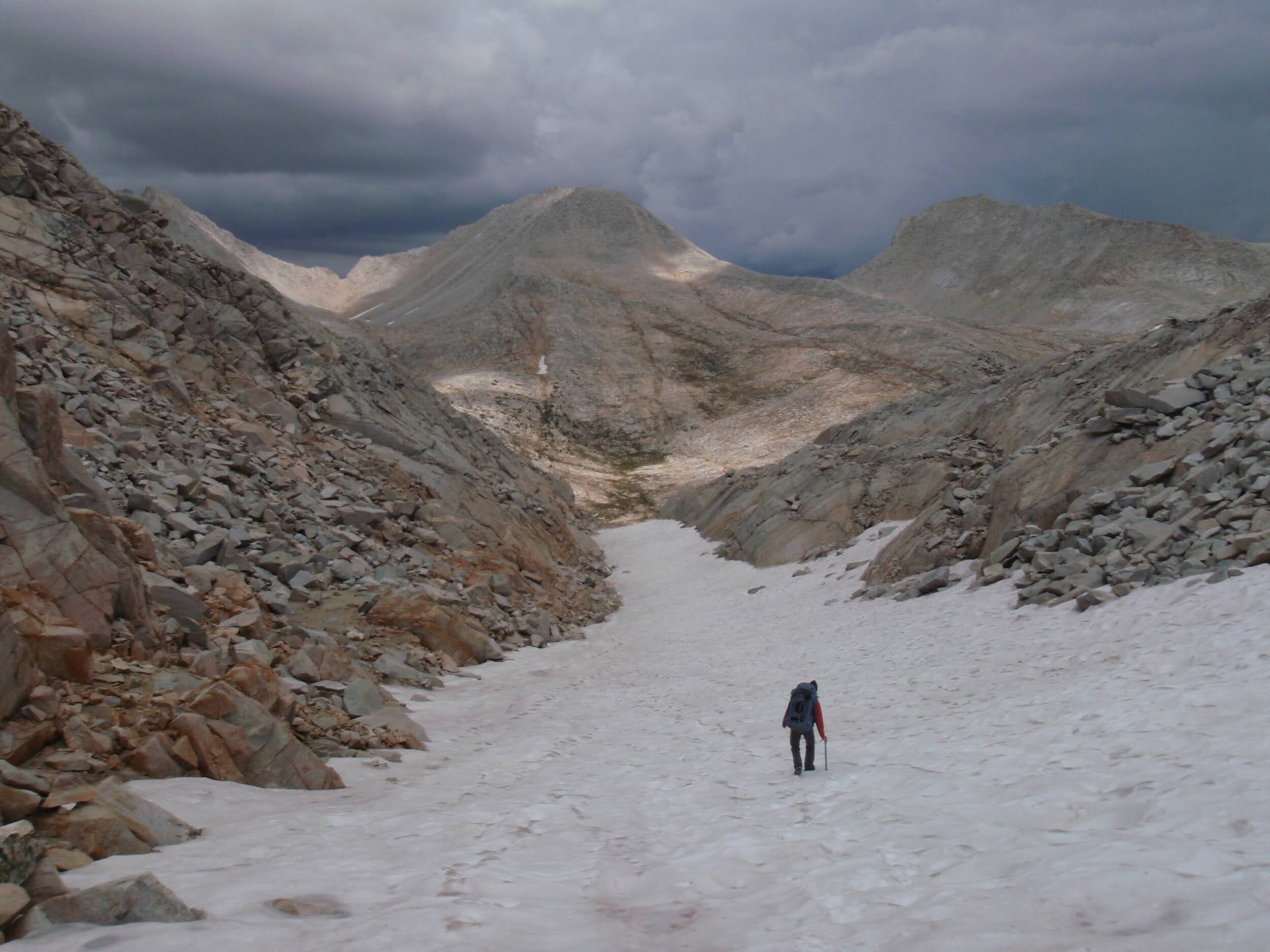
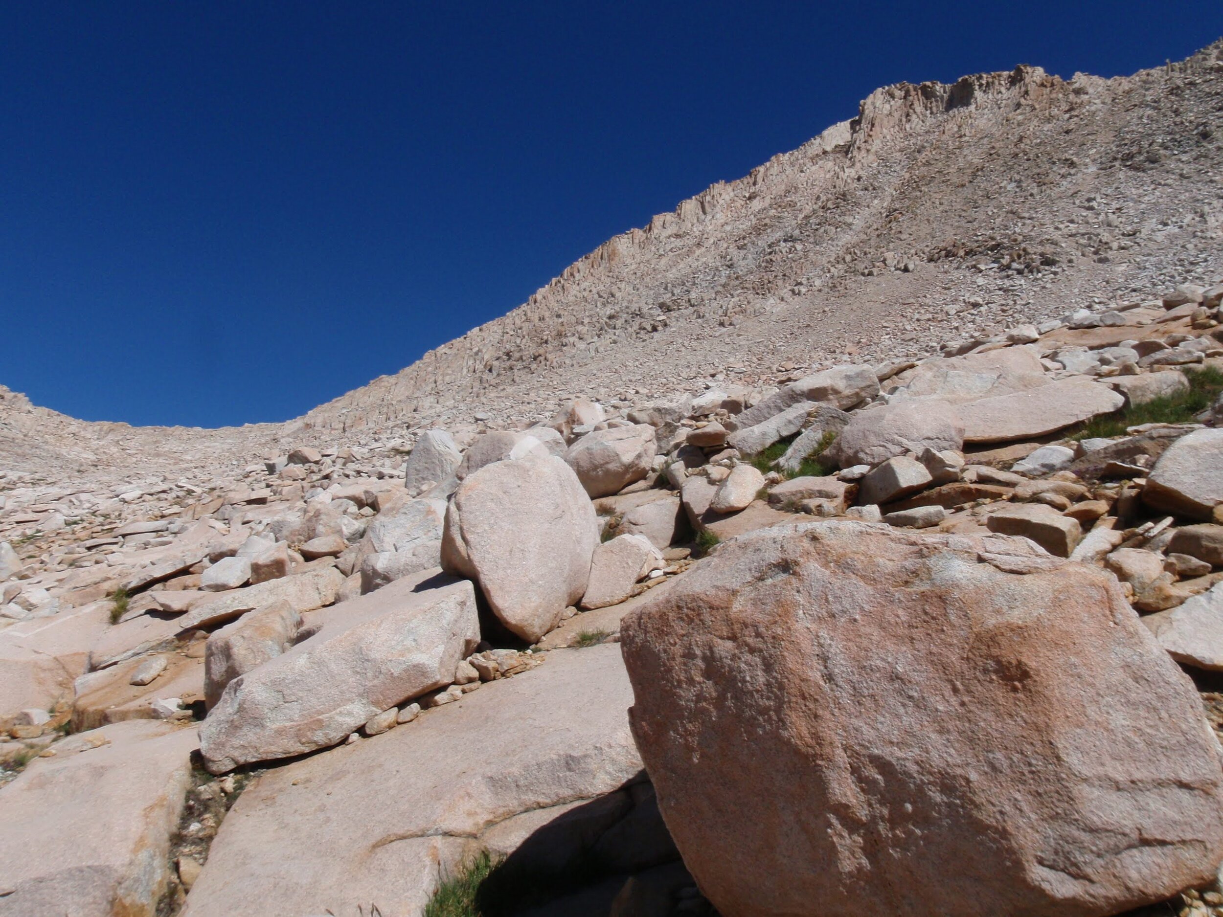
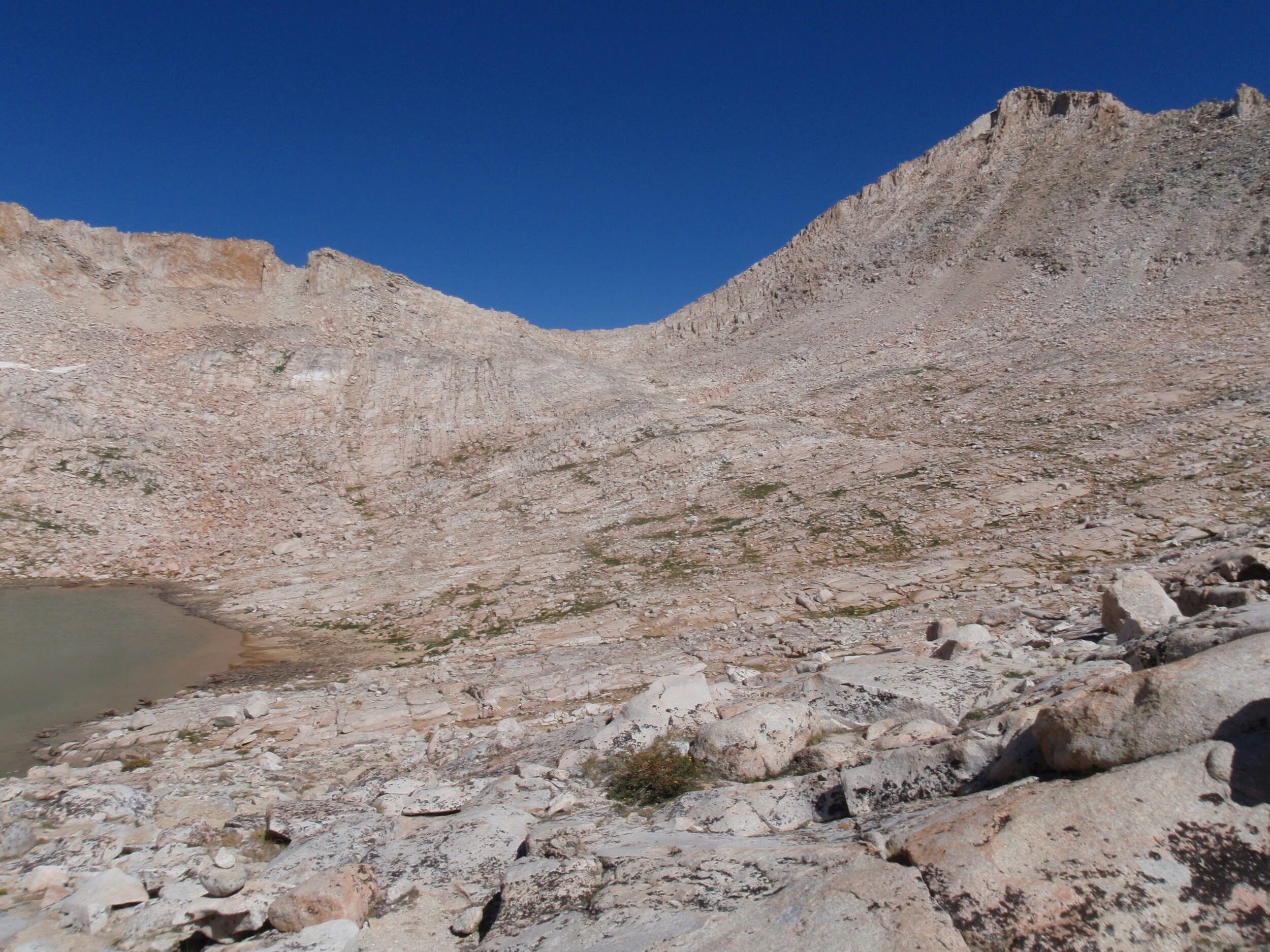
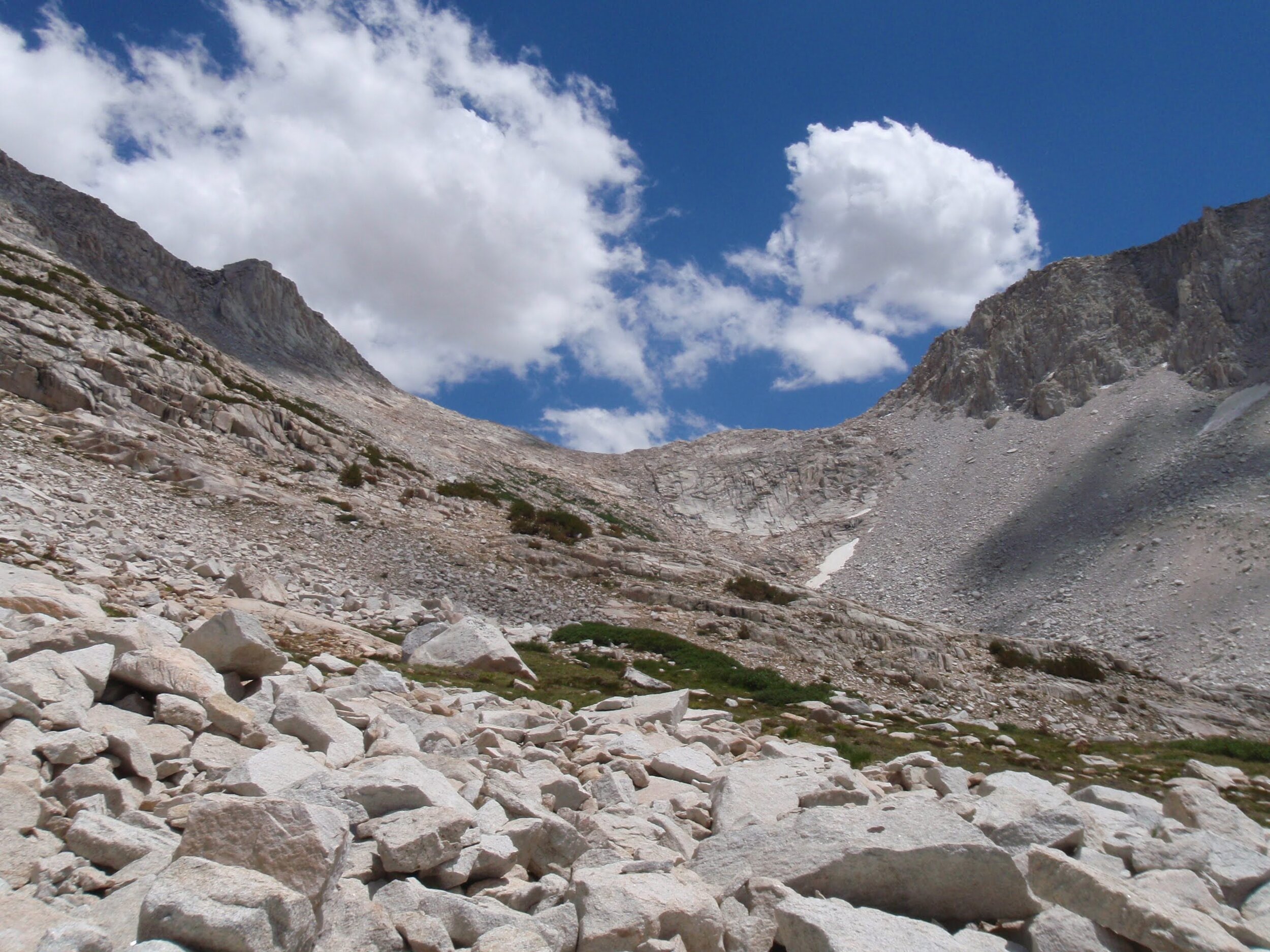
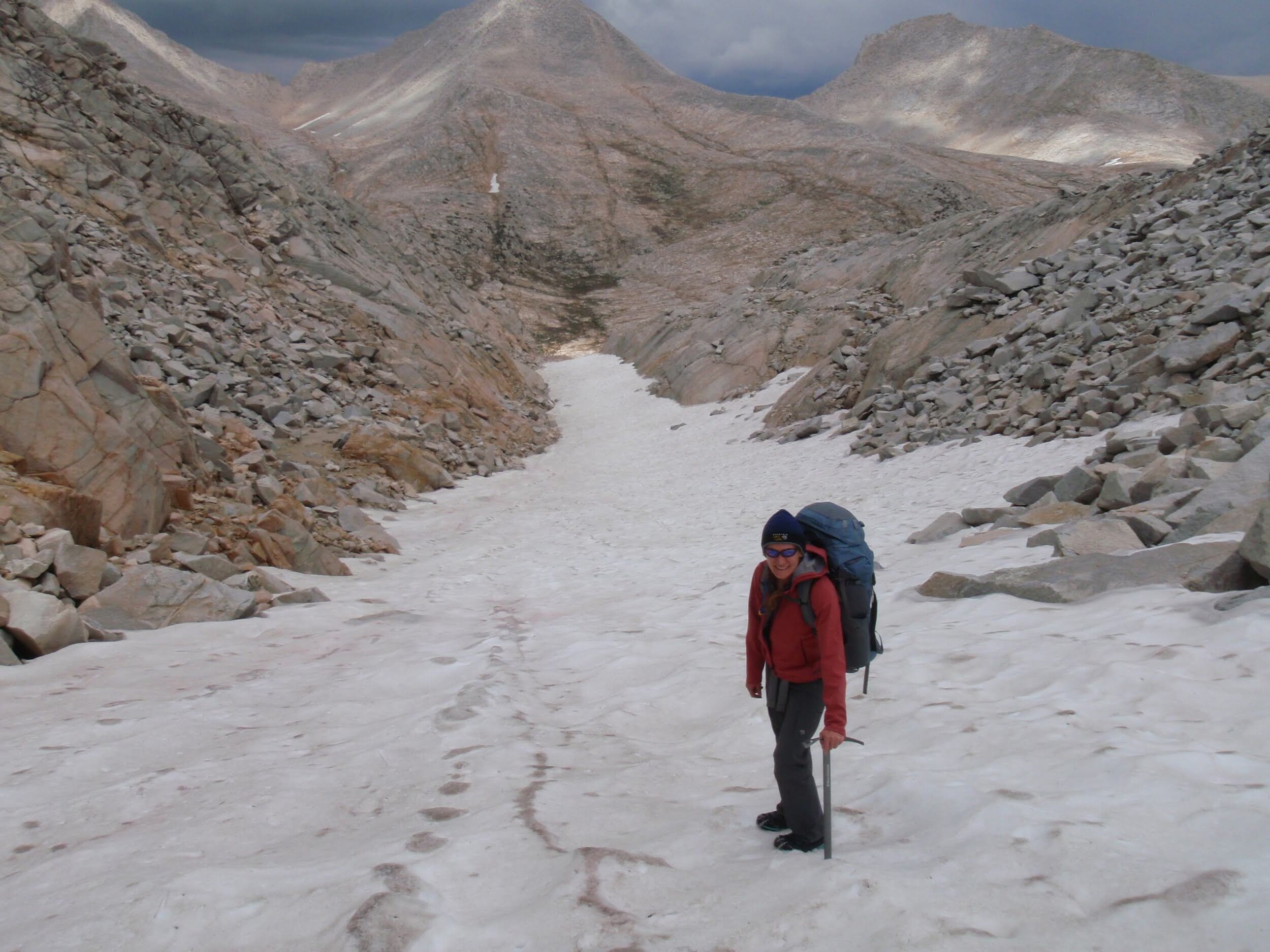
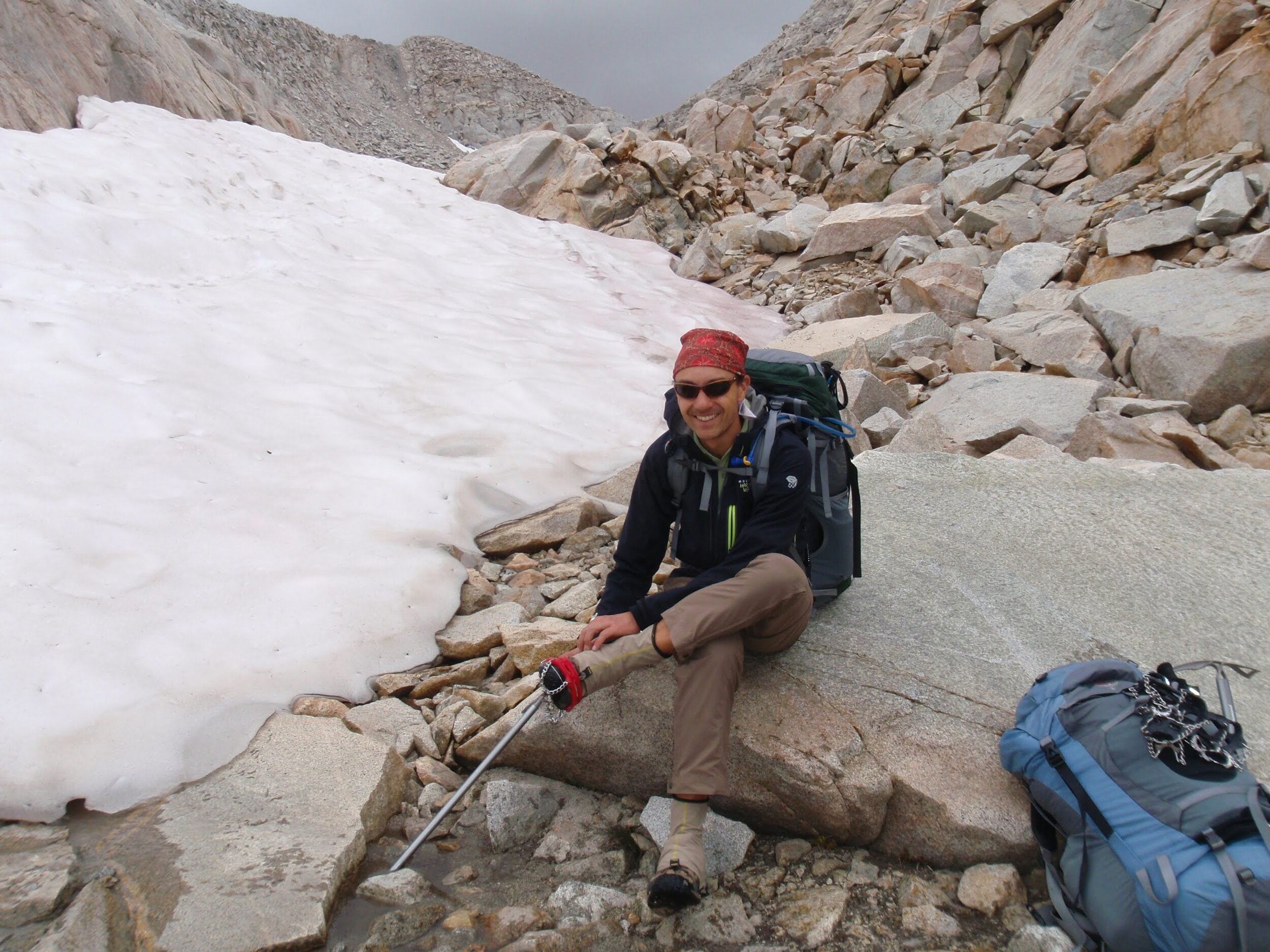
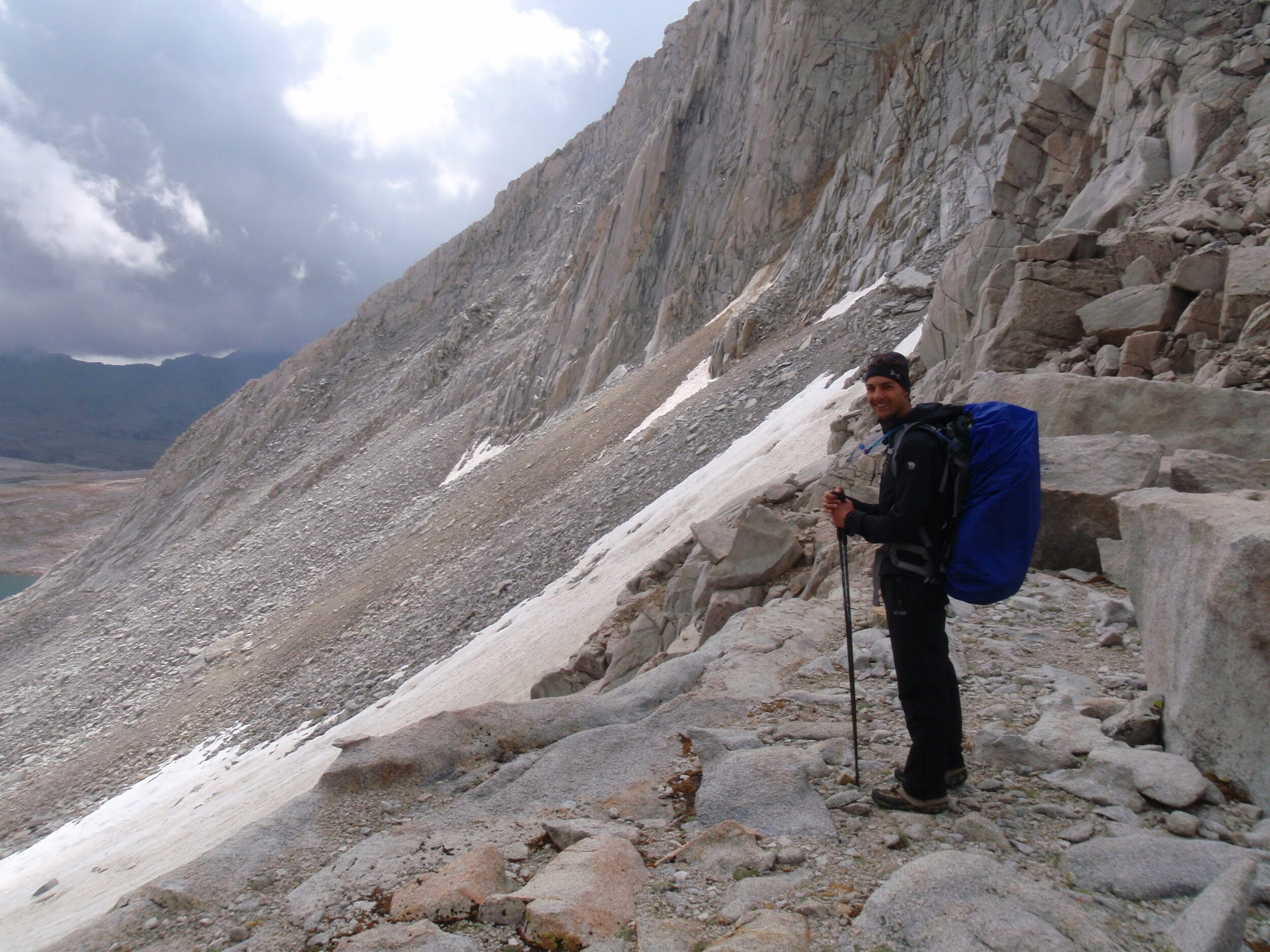
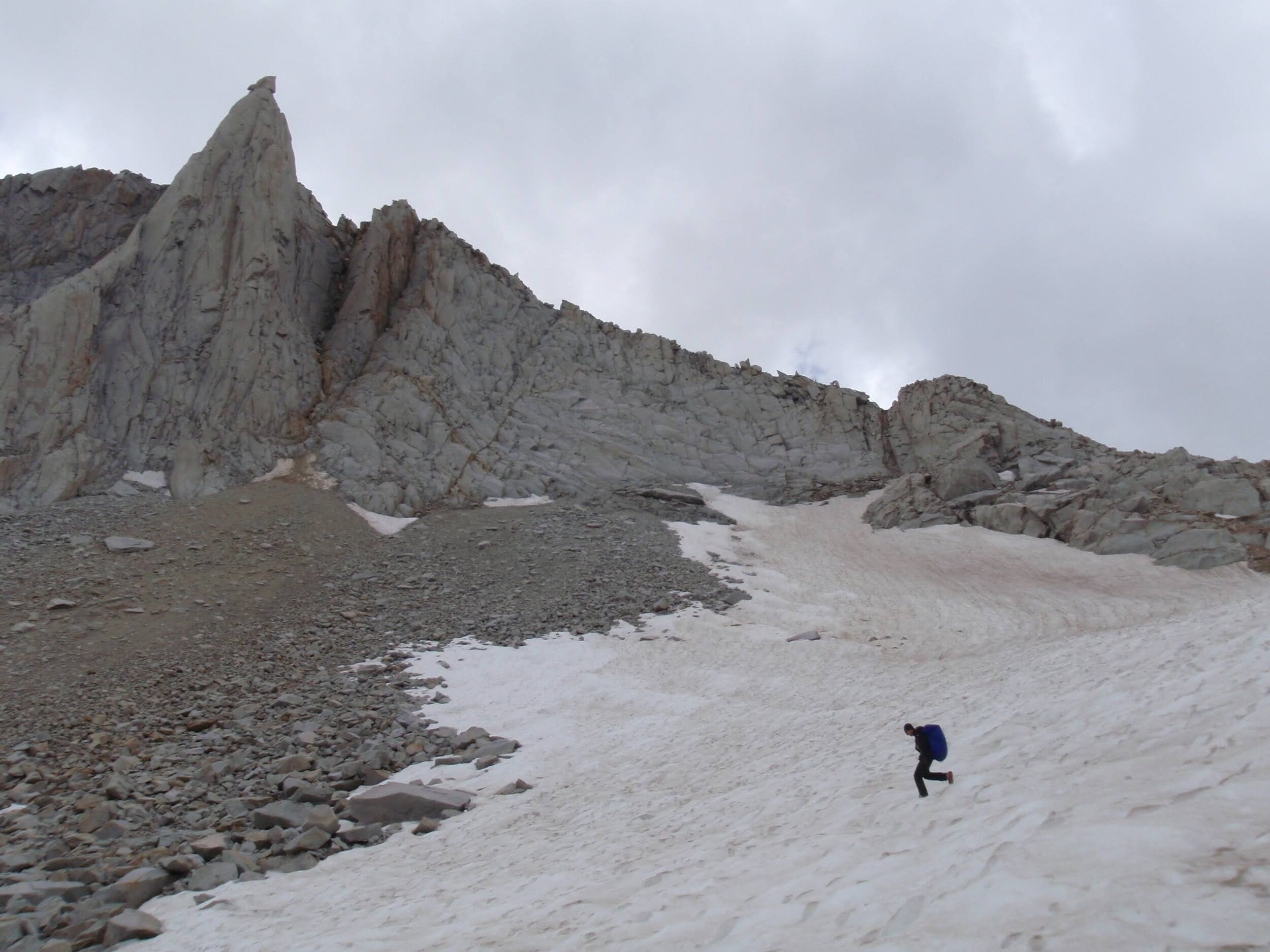
We worked our way towards the U-shaped saddle without much difficulty, again staying far to (hiker’s) left to keep to the less steep and more stable terrain. We knew that a near-permanent snowfield blankets the east side of the pass and we wondered what it would look like. By the time we reached the pass, it had gotten quite chilly and we were in no mood to turn around and backtrack all the way into Bear Lakes Basin. We were pleased, then, to see a long but relatively gently-angled snow-filled chute descending to the northeast. We added a layer, switched out hiking poles for ice axes, and added microspikes to our shoes for traction and started down with a goal of getting off the snow before the sky opened up on us.
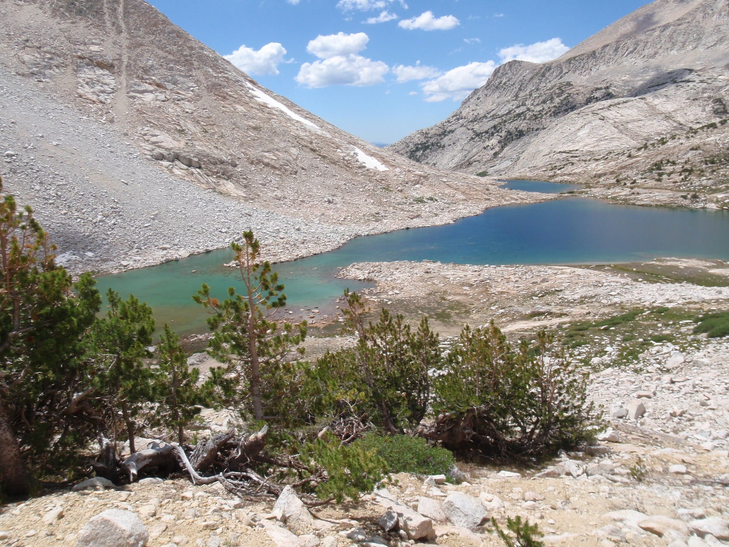
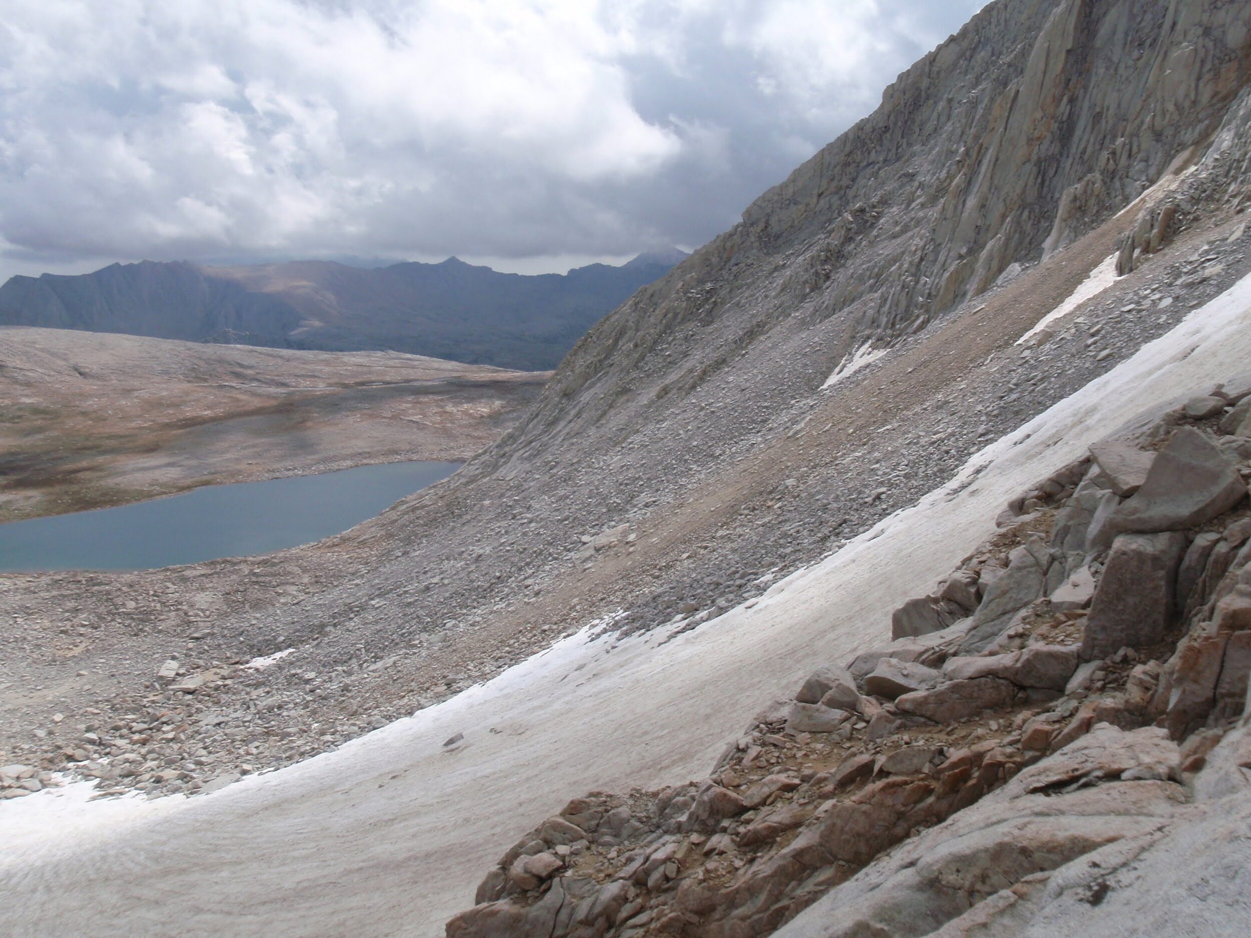
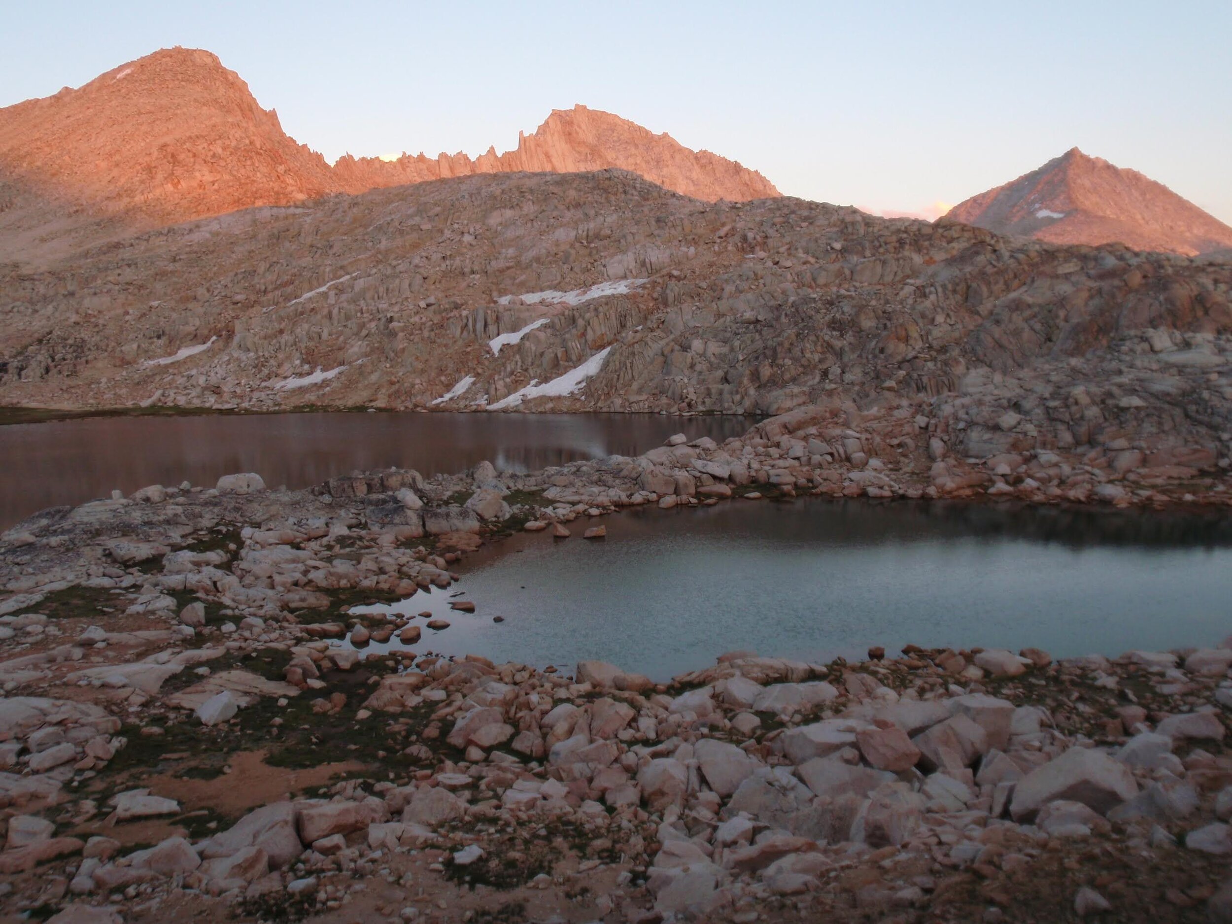
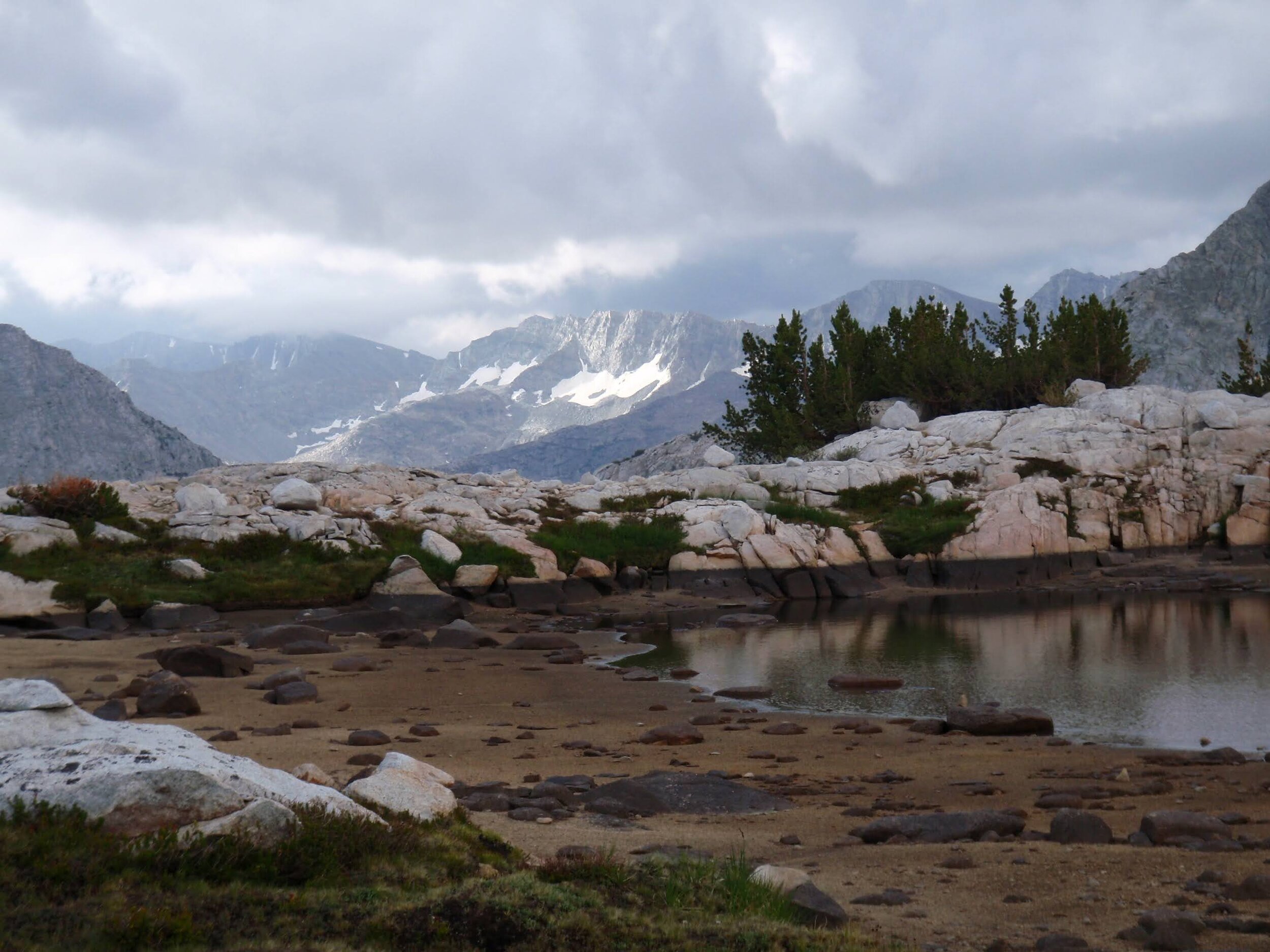
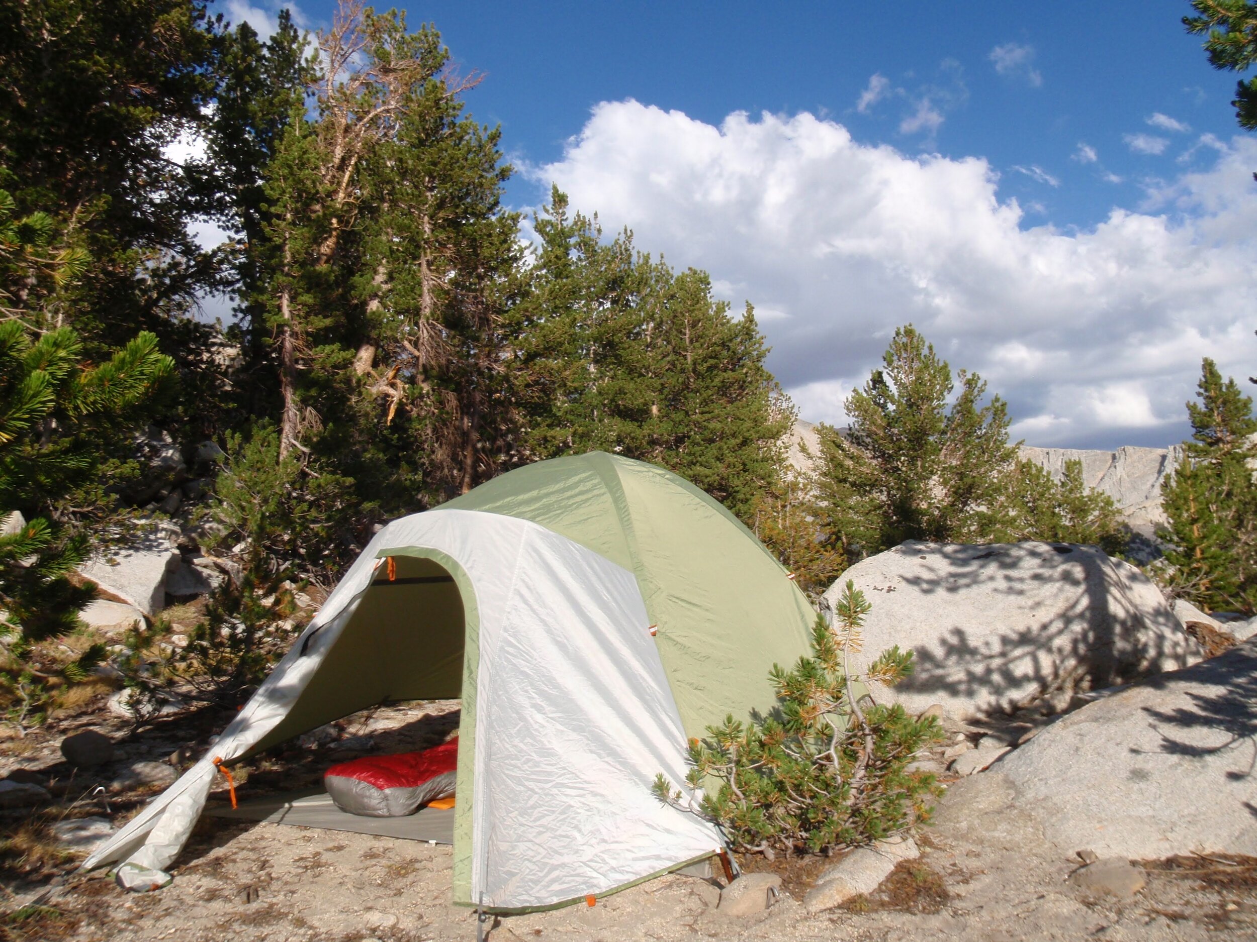
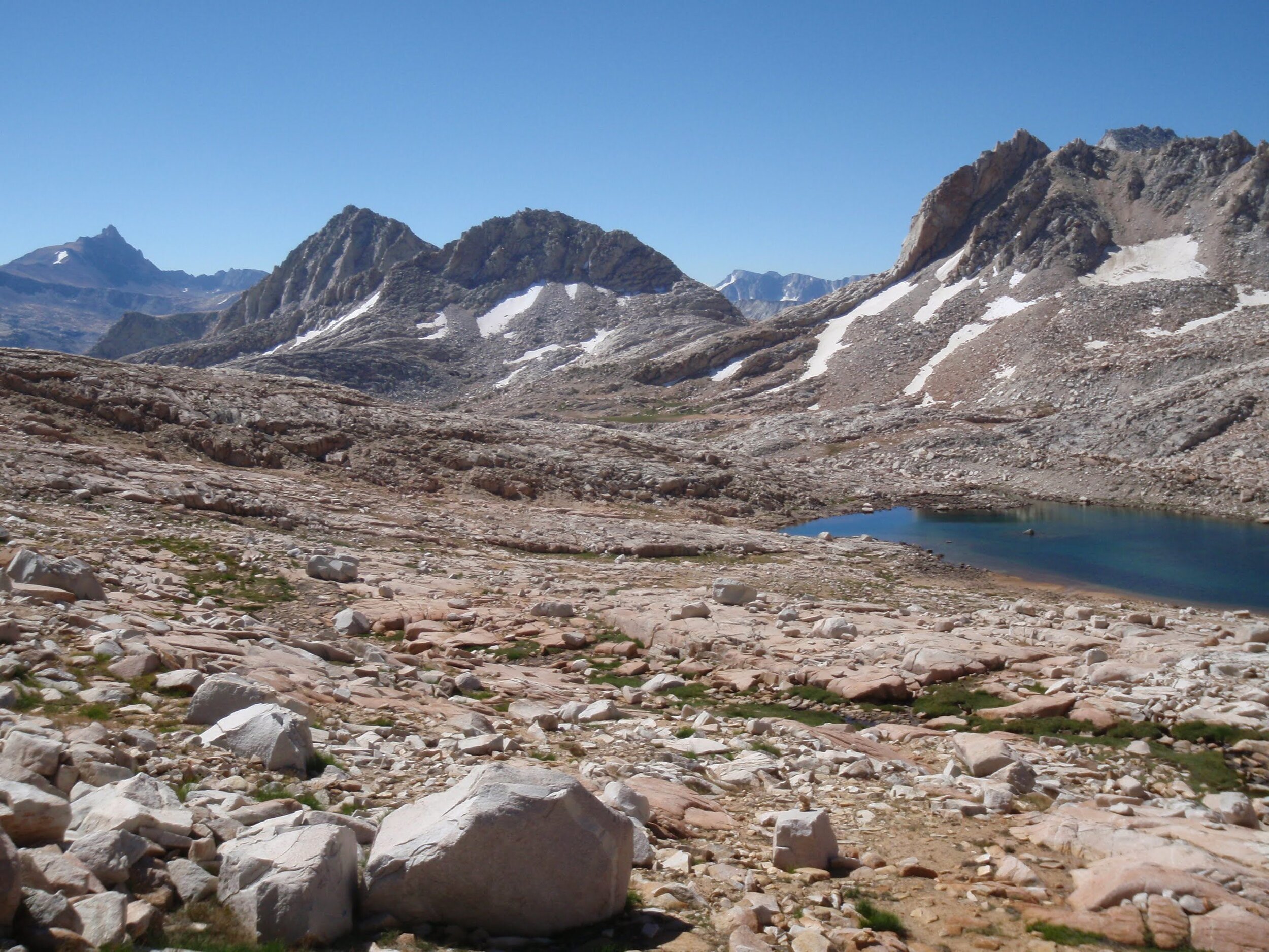
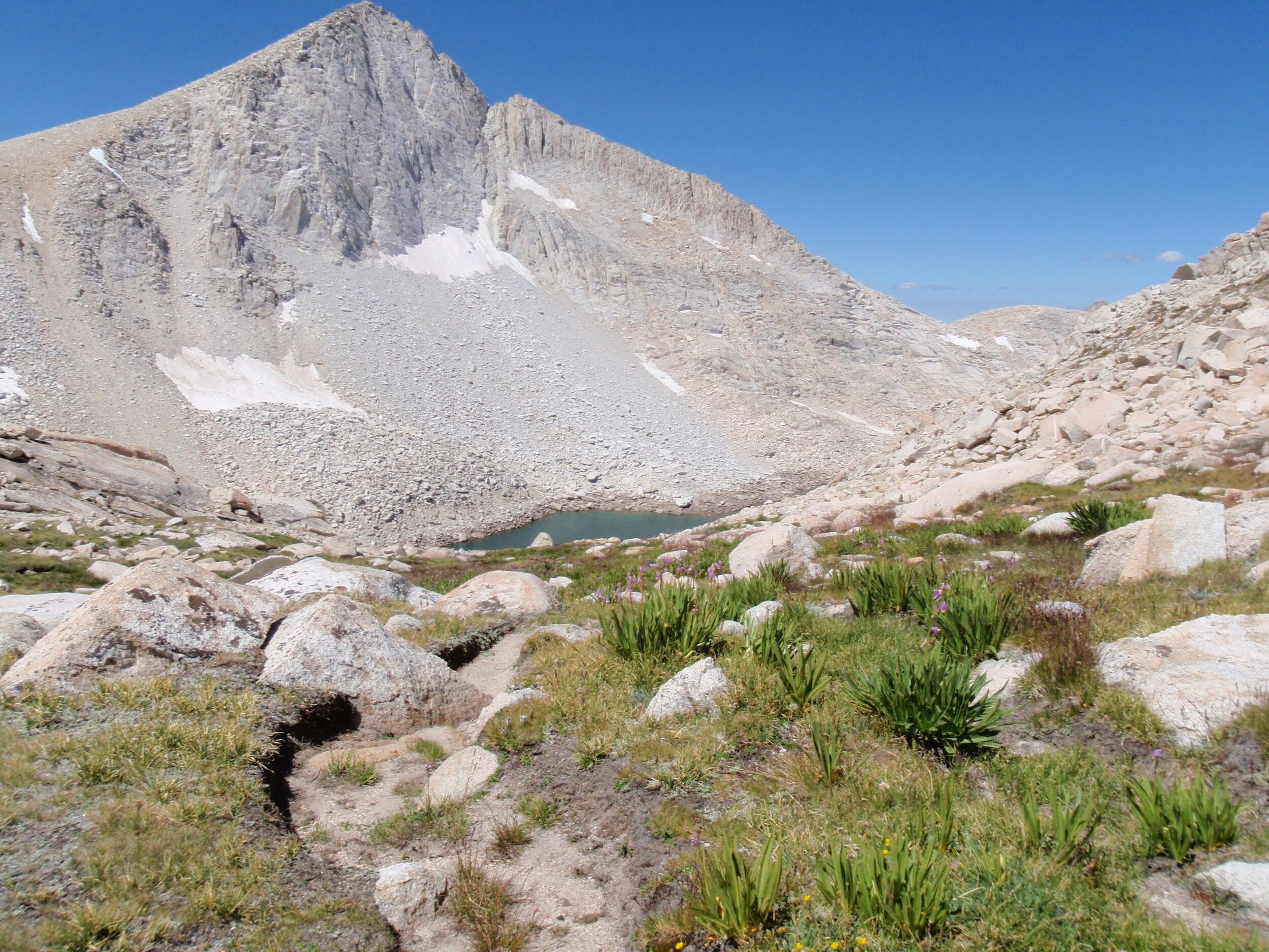
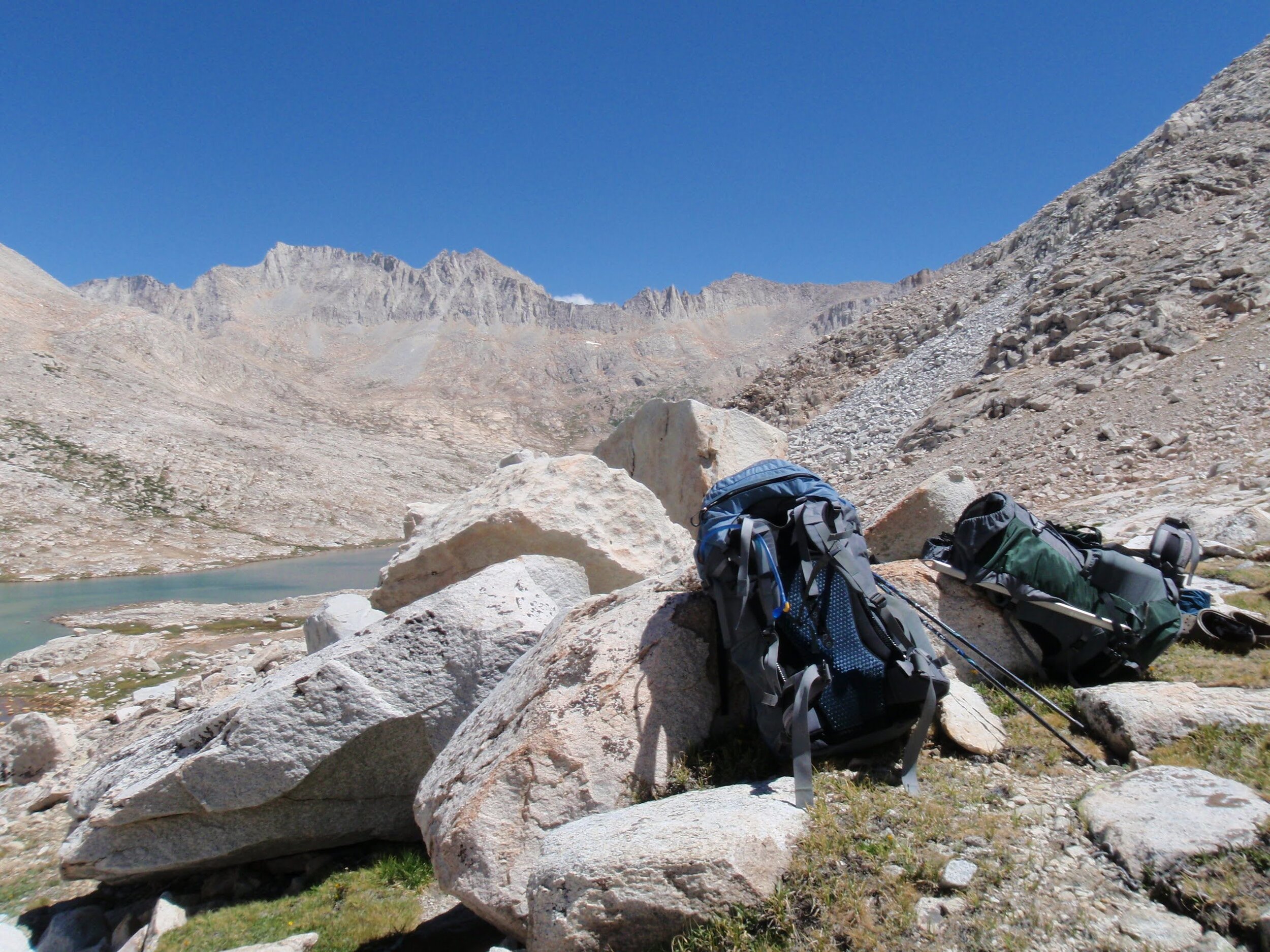
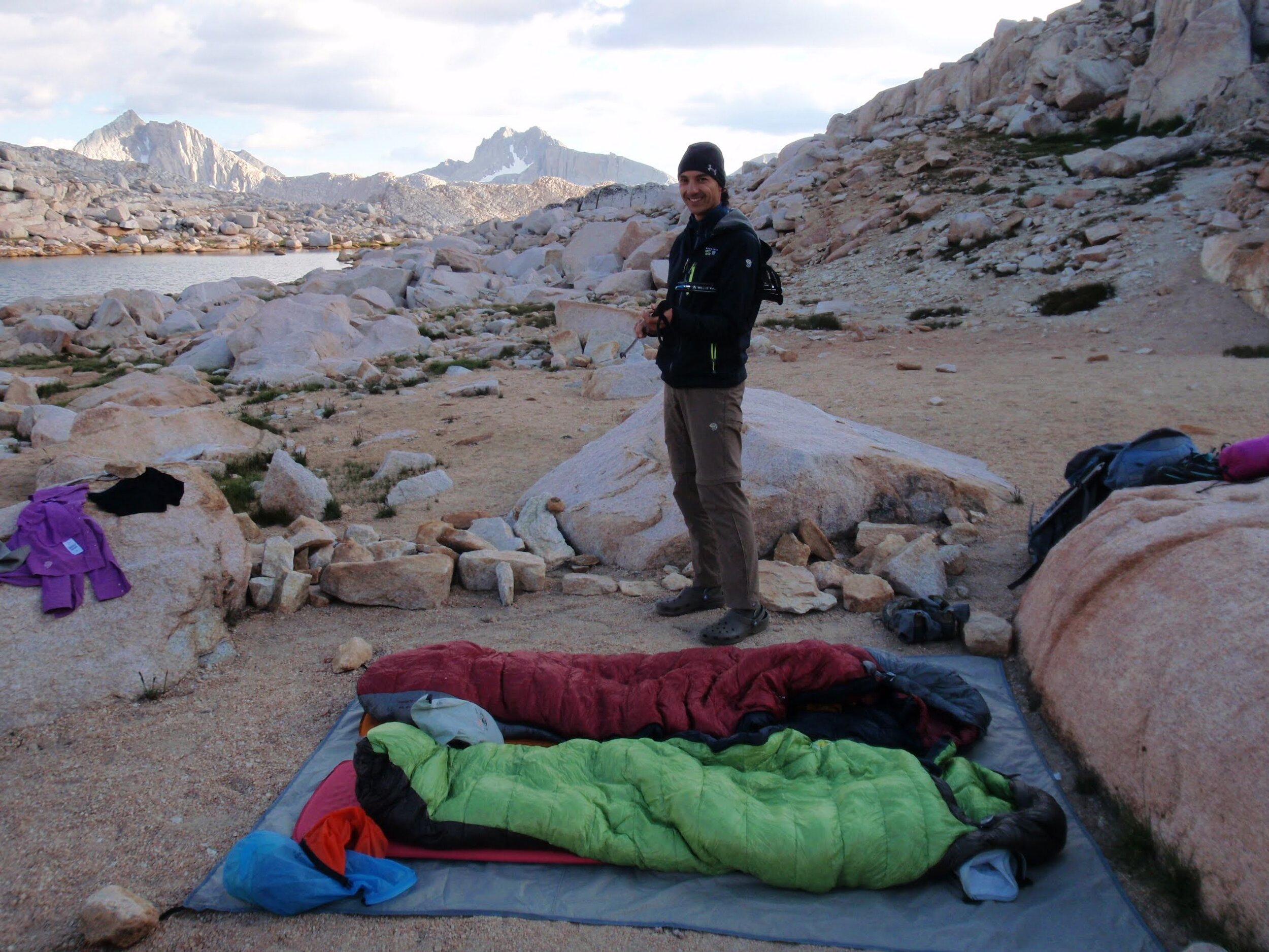
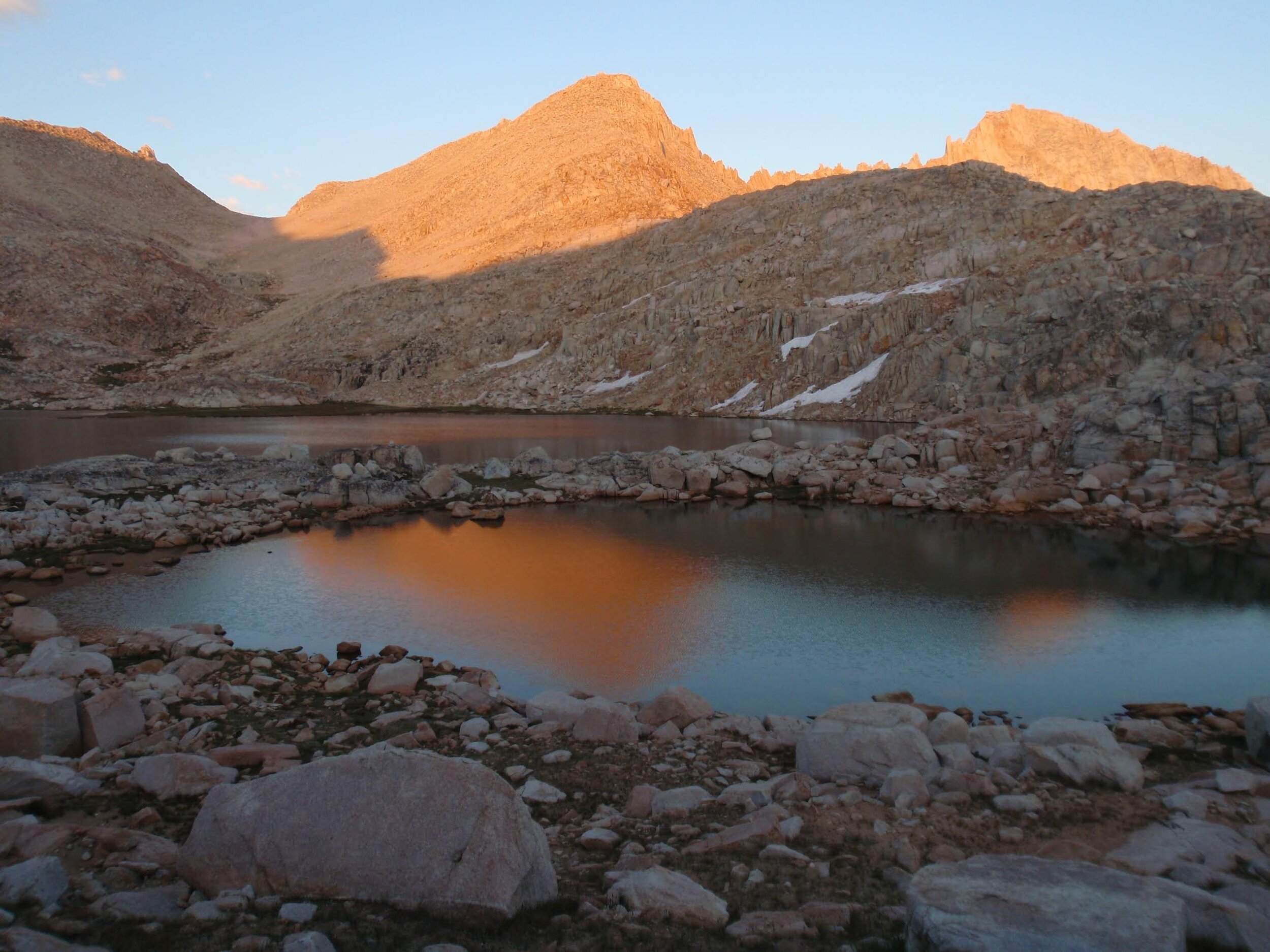
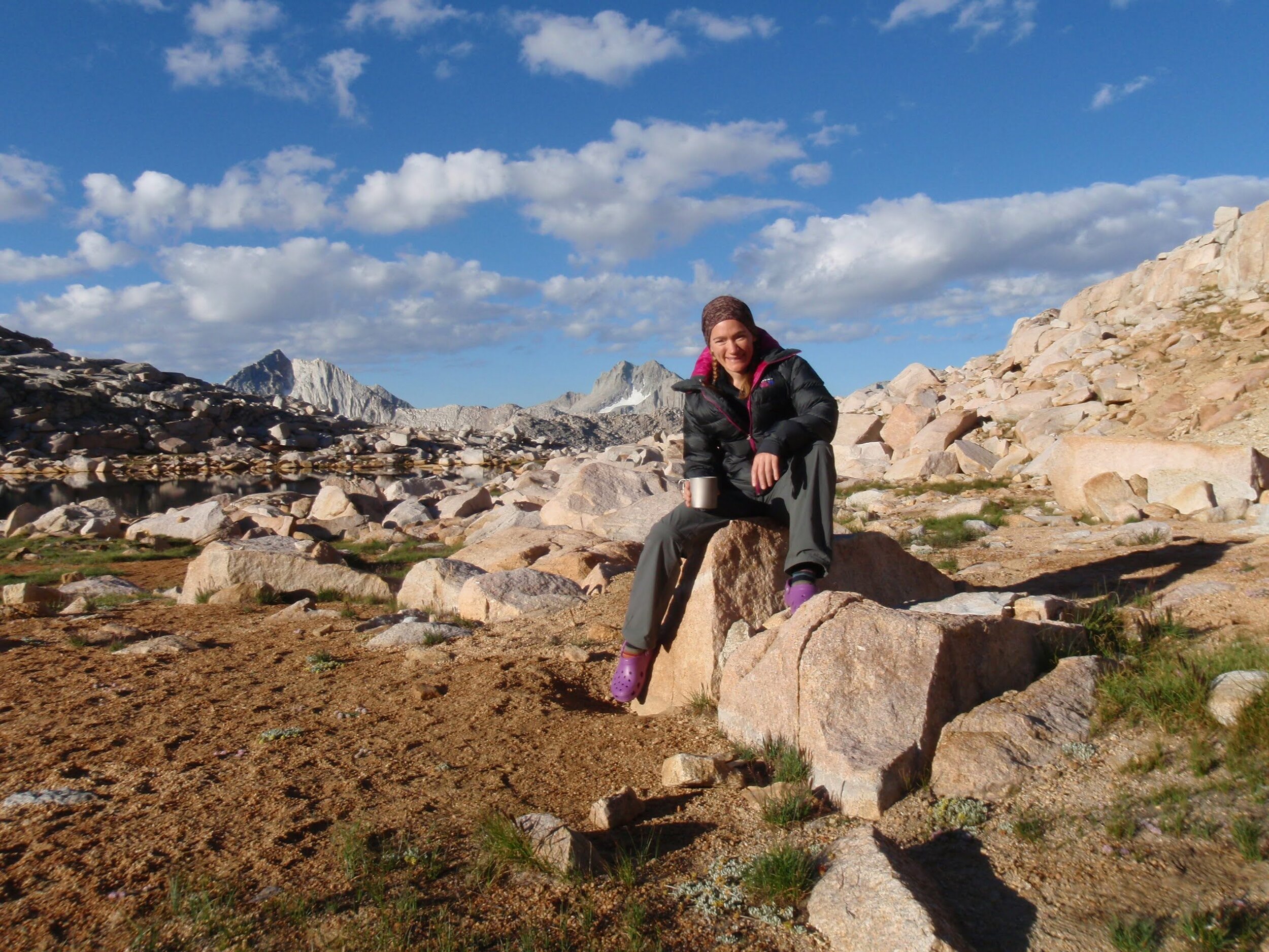
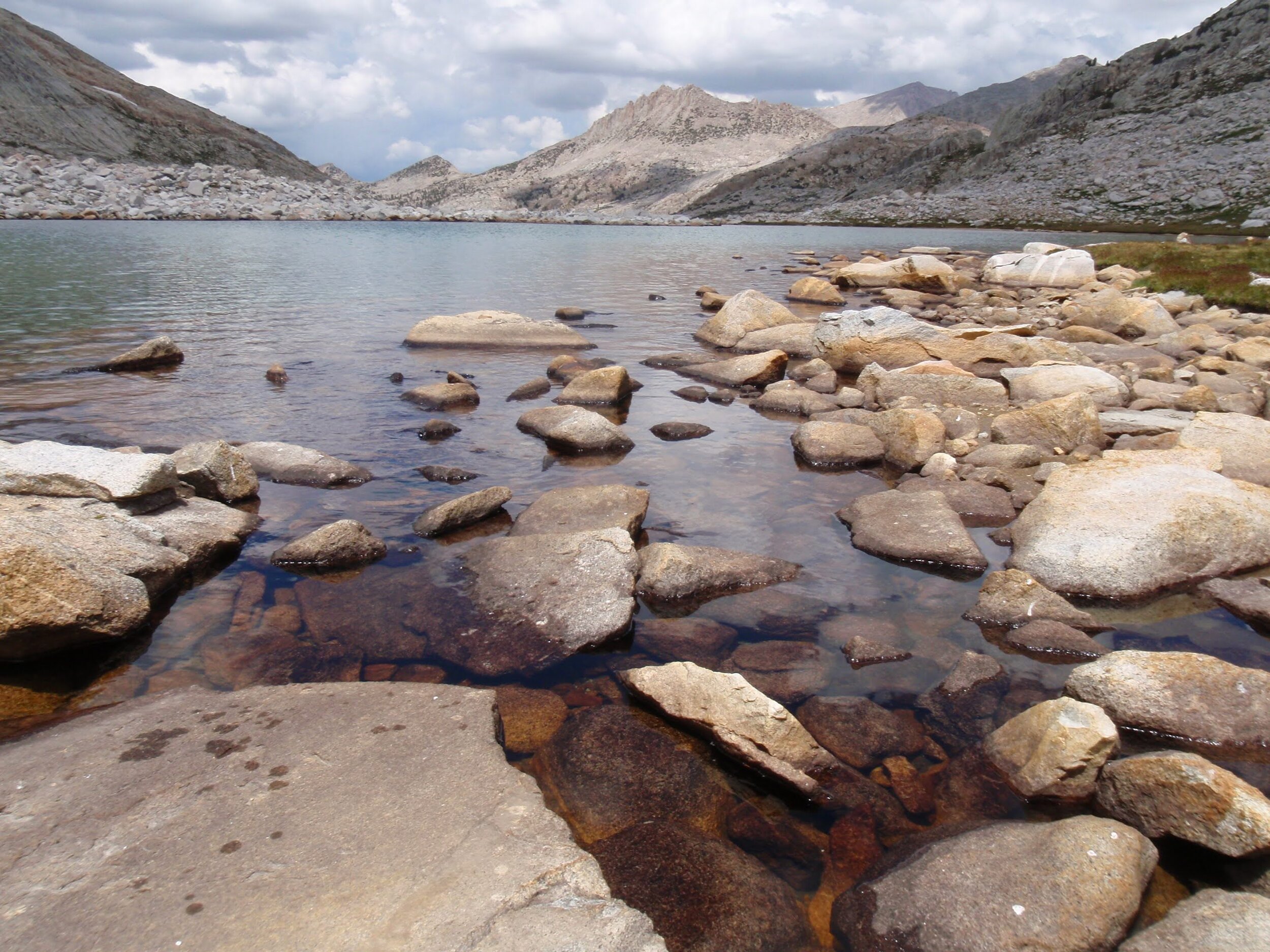
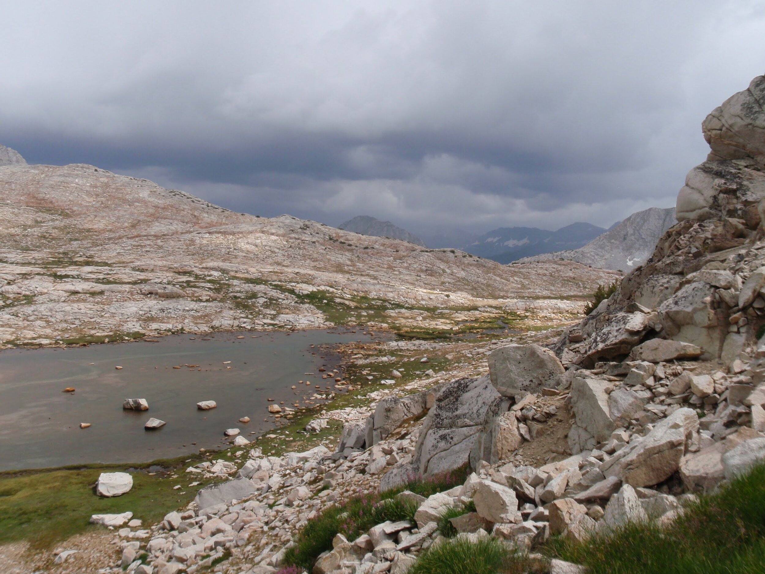
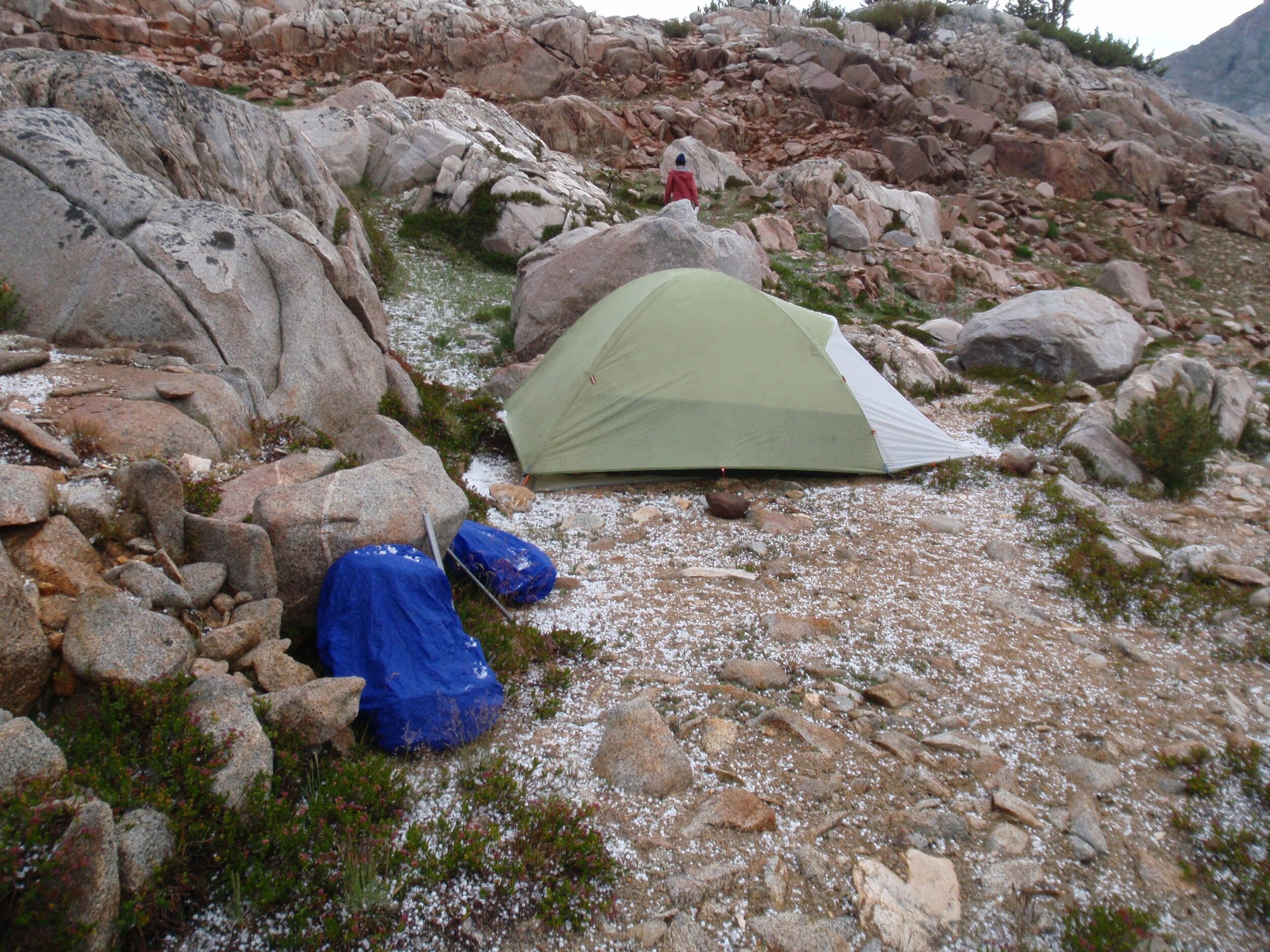
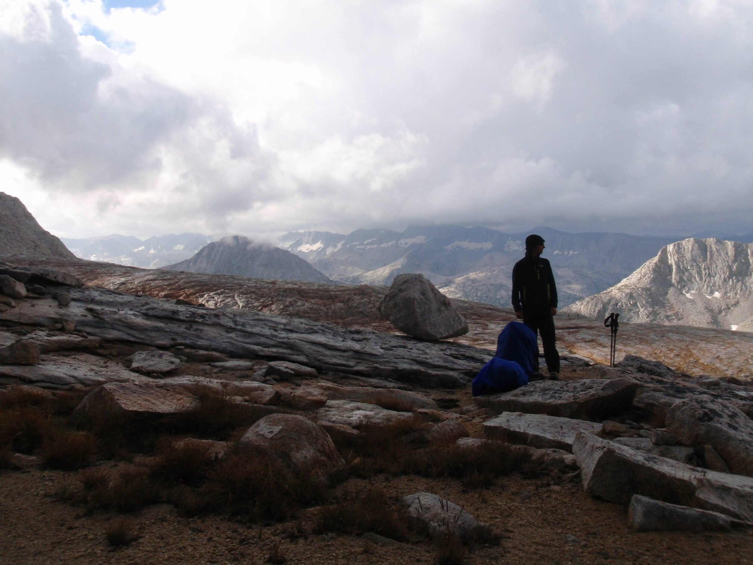
Before long we were back in talus above Lake 11,160’ and despite the ominous skies we had decent views of Glacier Divide stretching out to the southeast, and Pilot Knob on the near edge of Humphreys Basin. We considered dropping all the way down to big, deep, jewel-colored Merriam Lake but given the stormy skies and our goal of Royce Lakes tomorrow, we decided on a campsite near the edge of our current shelf with an overlook view of the lake below. No sooner had we pitched our “tent” (still using fastpitch option, as we actually left the tent at home for this short mid-summer trip) but the sky erupted in huge balls of hail. We scampered into our shelter and waited out the storm, hoping it would be a Sierra Nevada special, over almost before it had begun.
Sure enough, the hail was done in 20 minutes and after a short rainstorm the sky decided it was done with precipitation in our area. The clouds lightened, then dissipated altogether. We enjoyed views of Mt. Humphrey, Pilot Knob, and the Glacier Divide beyond Mt Morrow in one direction, and of Royce and Merriam in the other. Another night of classic Sierra Nevada evening light followed, as if to reward us for sticking it out through the small storm.
Day 3 Stats: 5.8 miles (off-trail) | 1820’ climb | 2380’ descent
Day 4: Merriam Lake Overlook (~11,200’) to Golden Lake via Royce-Merriam saddle & Royce Pass, with side trip to Chalfant Lakes

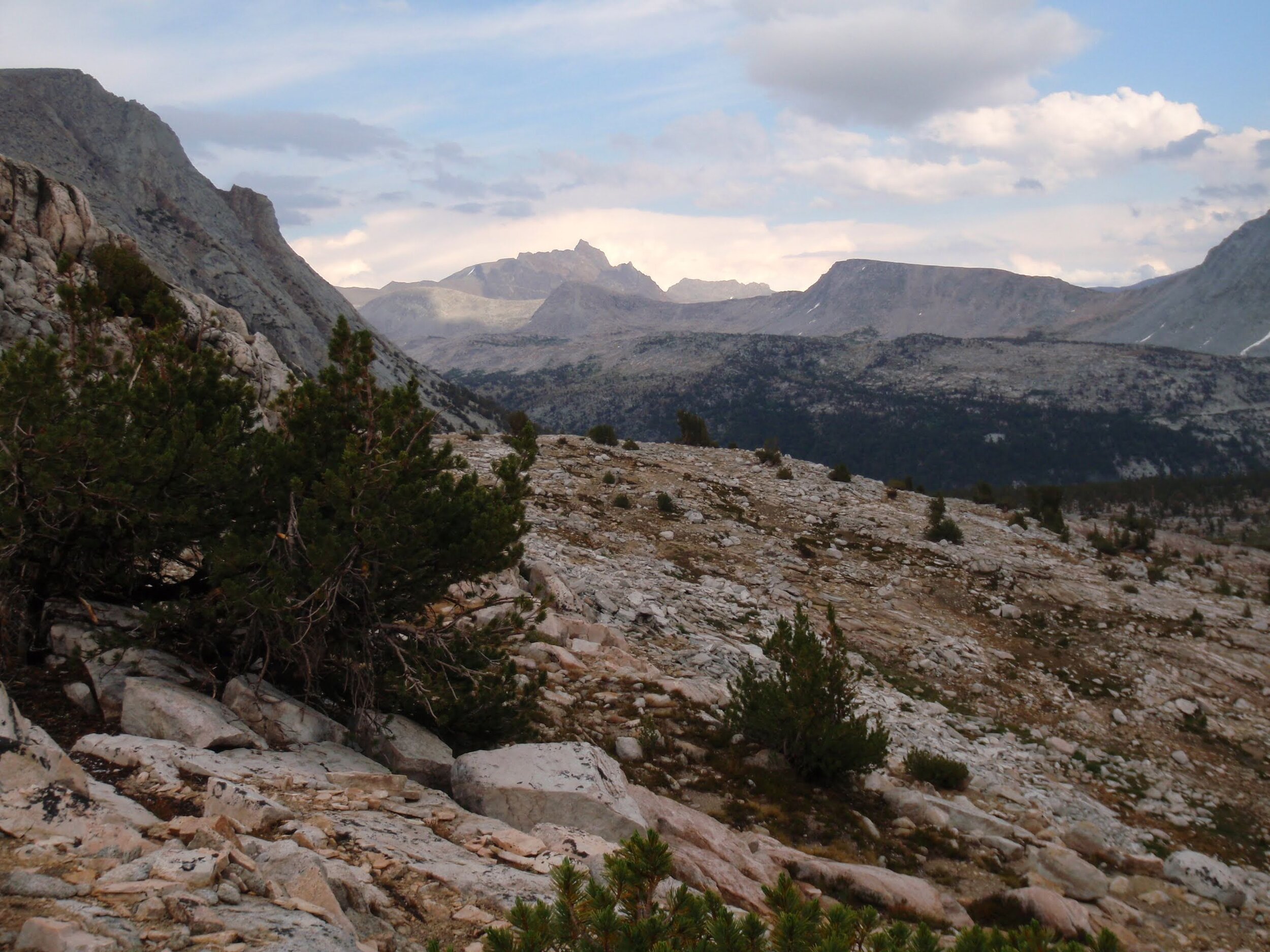
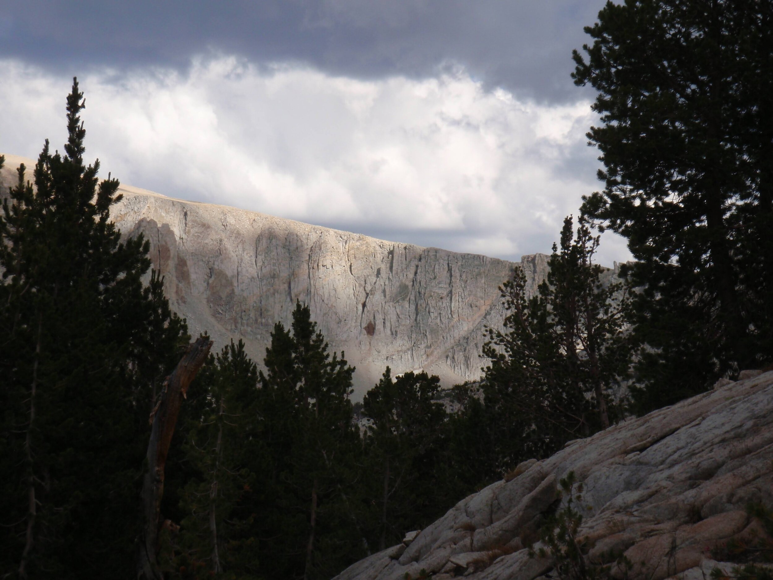
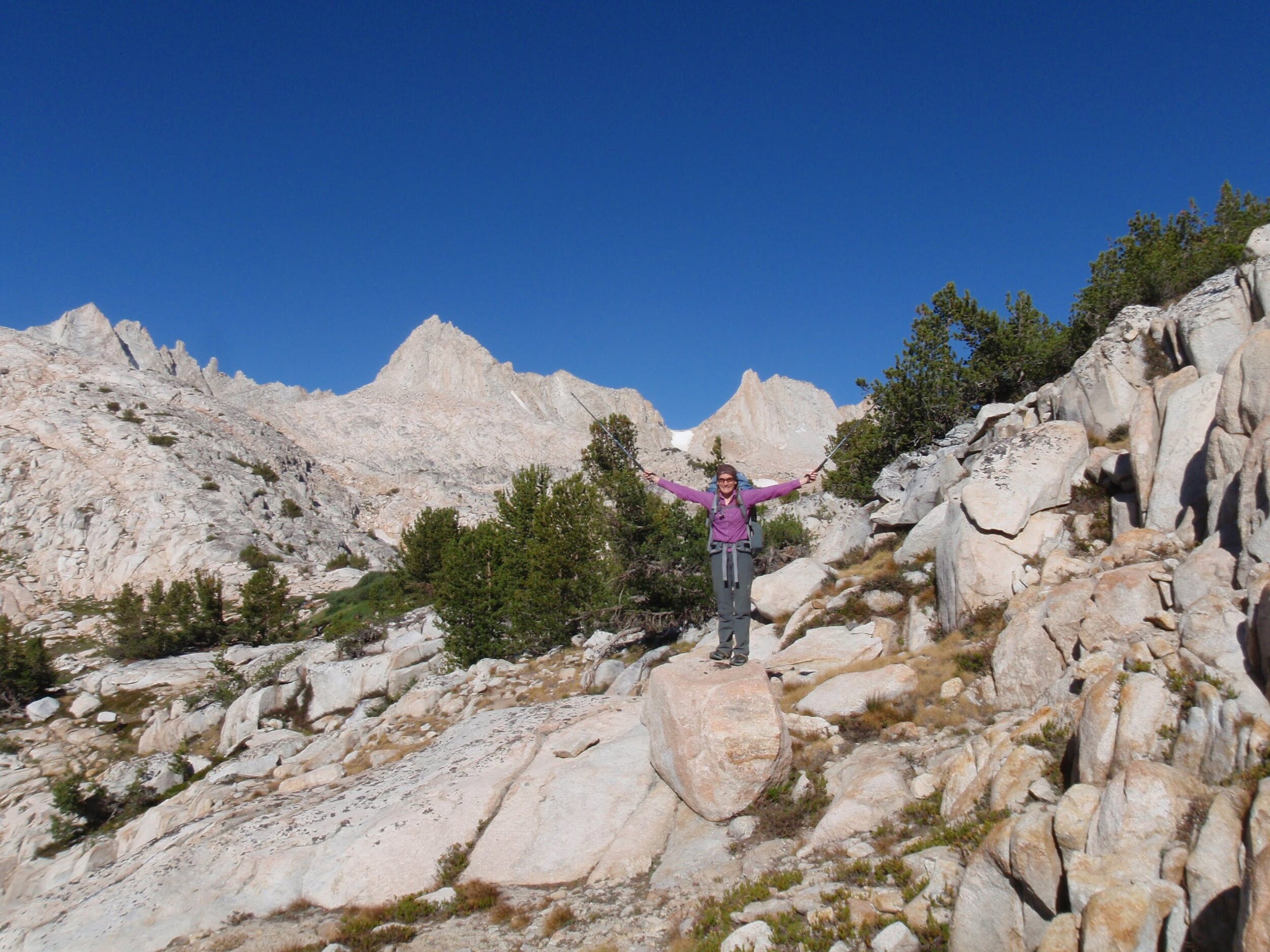
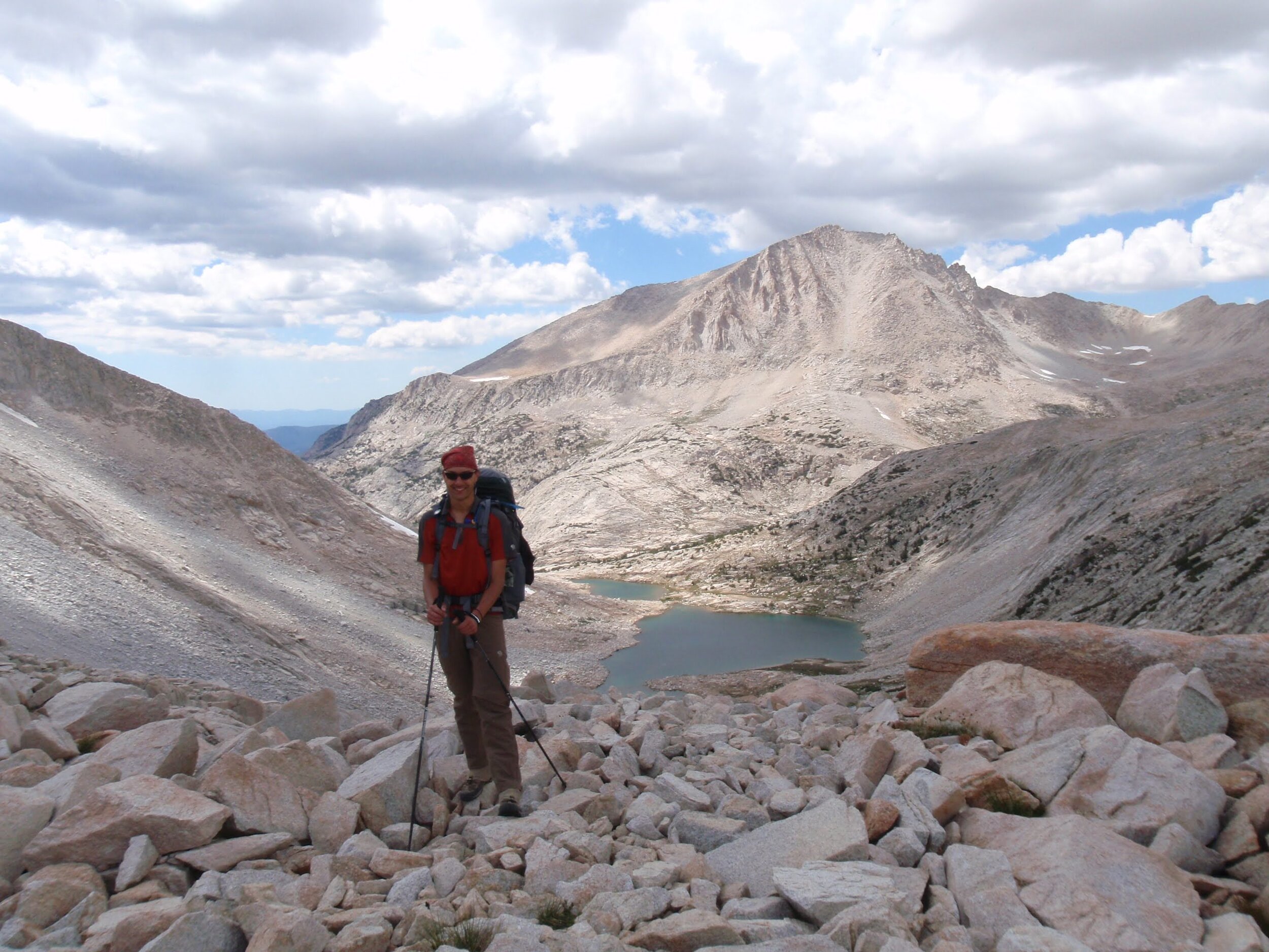
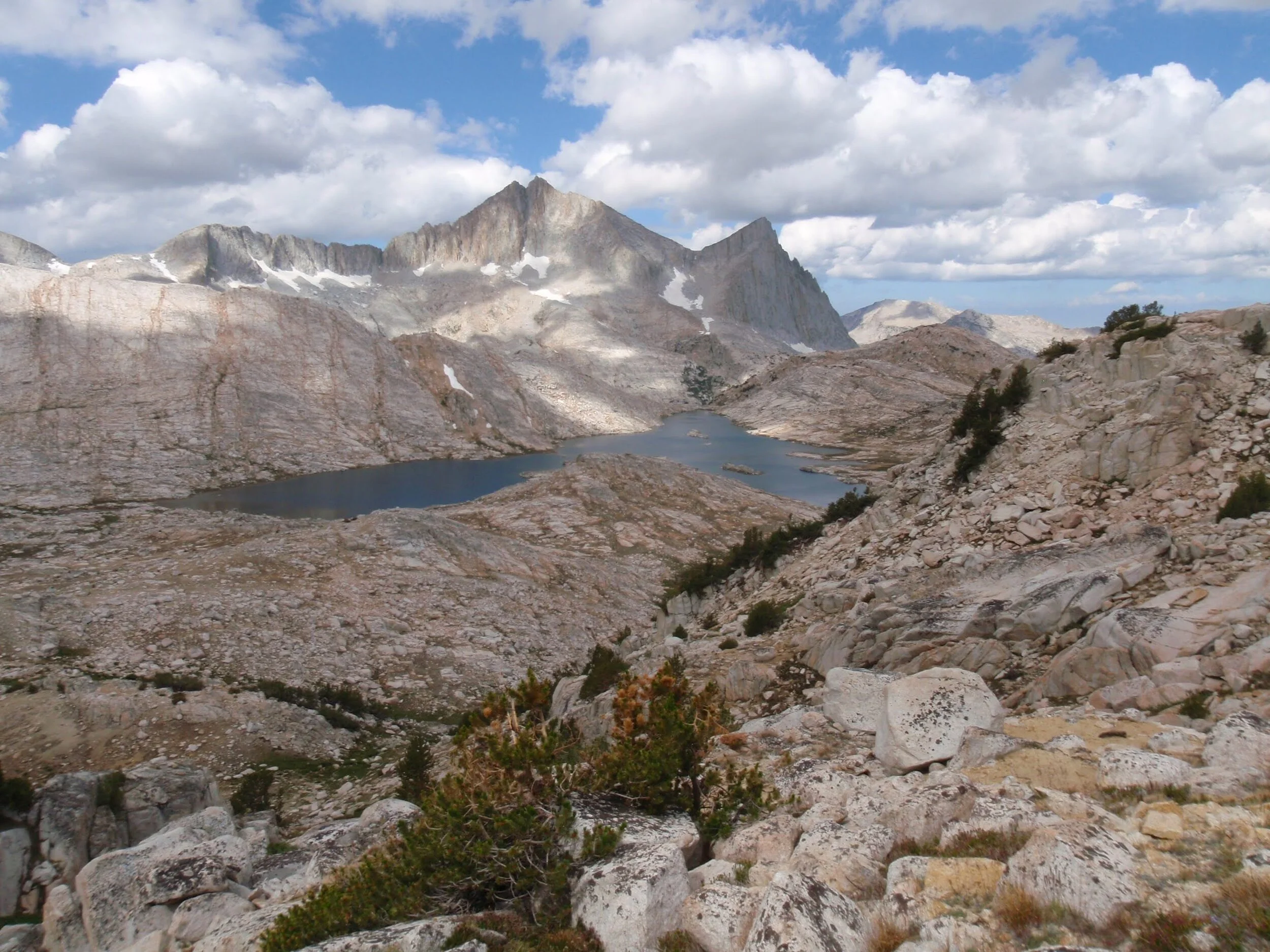
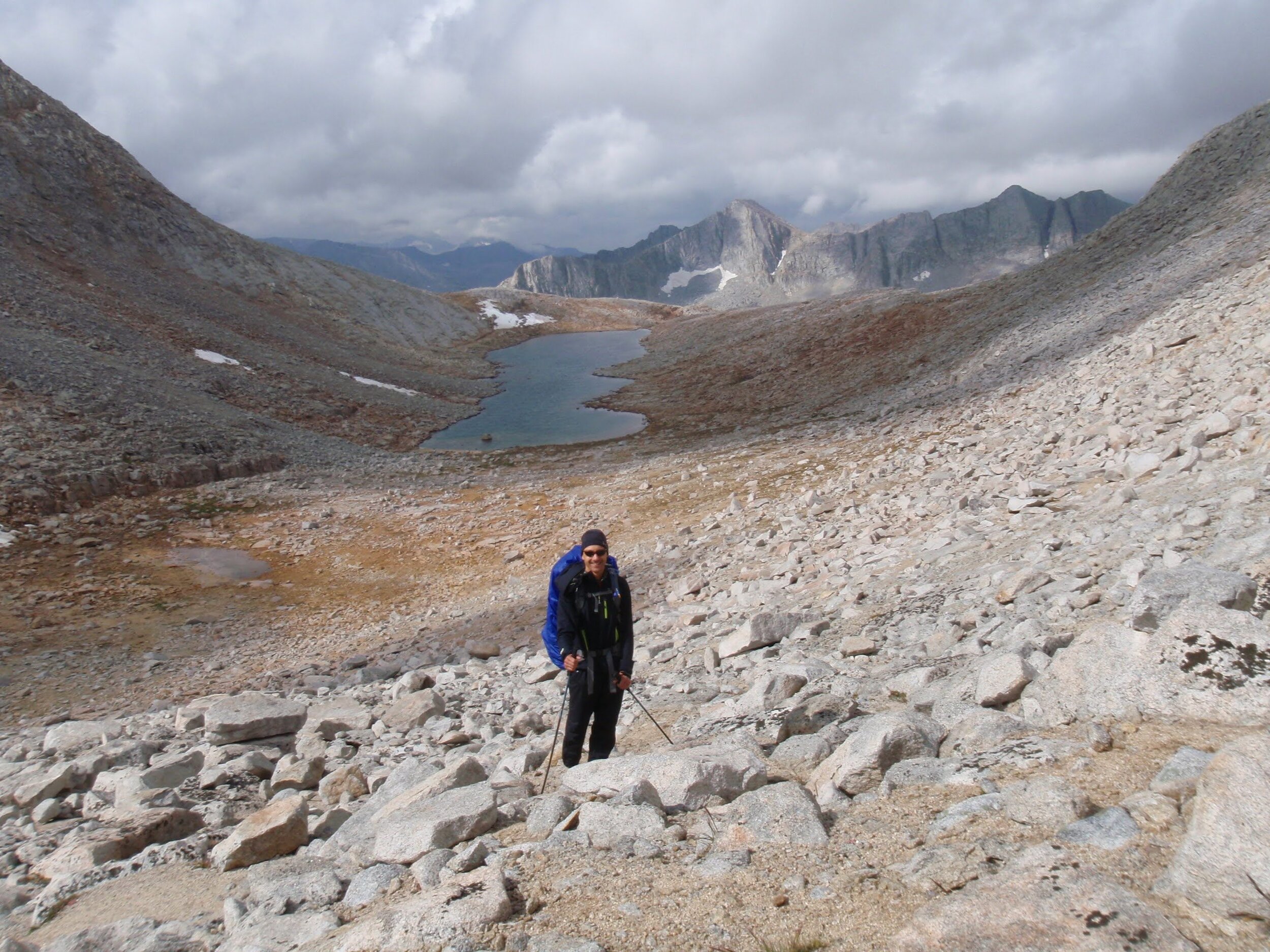
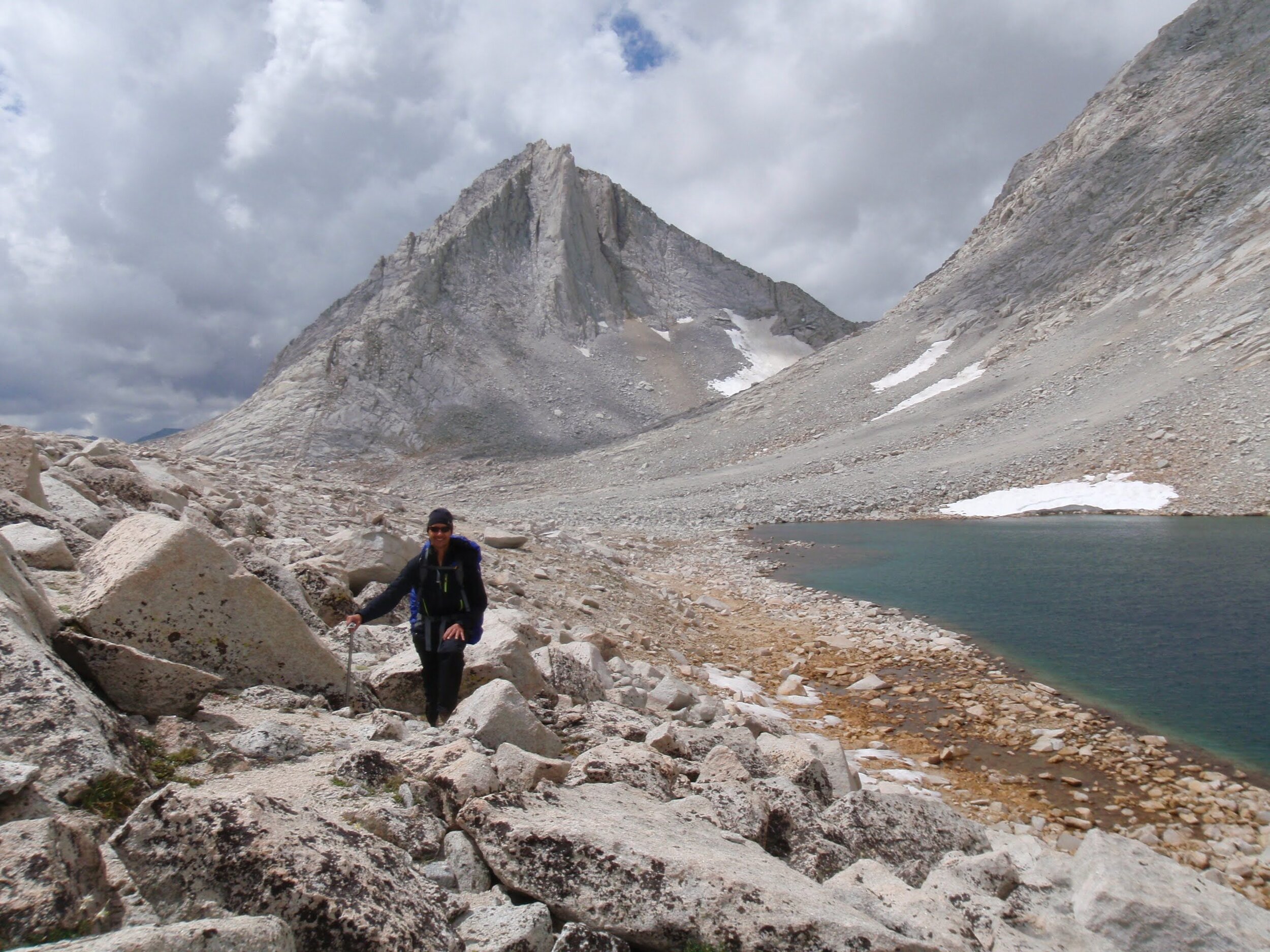
Dark morning skies brought a rainbow as we climbed above Lake Merriam towards Royce-Merriam saddle (view back towards Mt. Morrow)
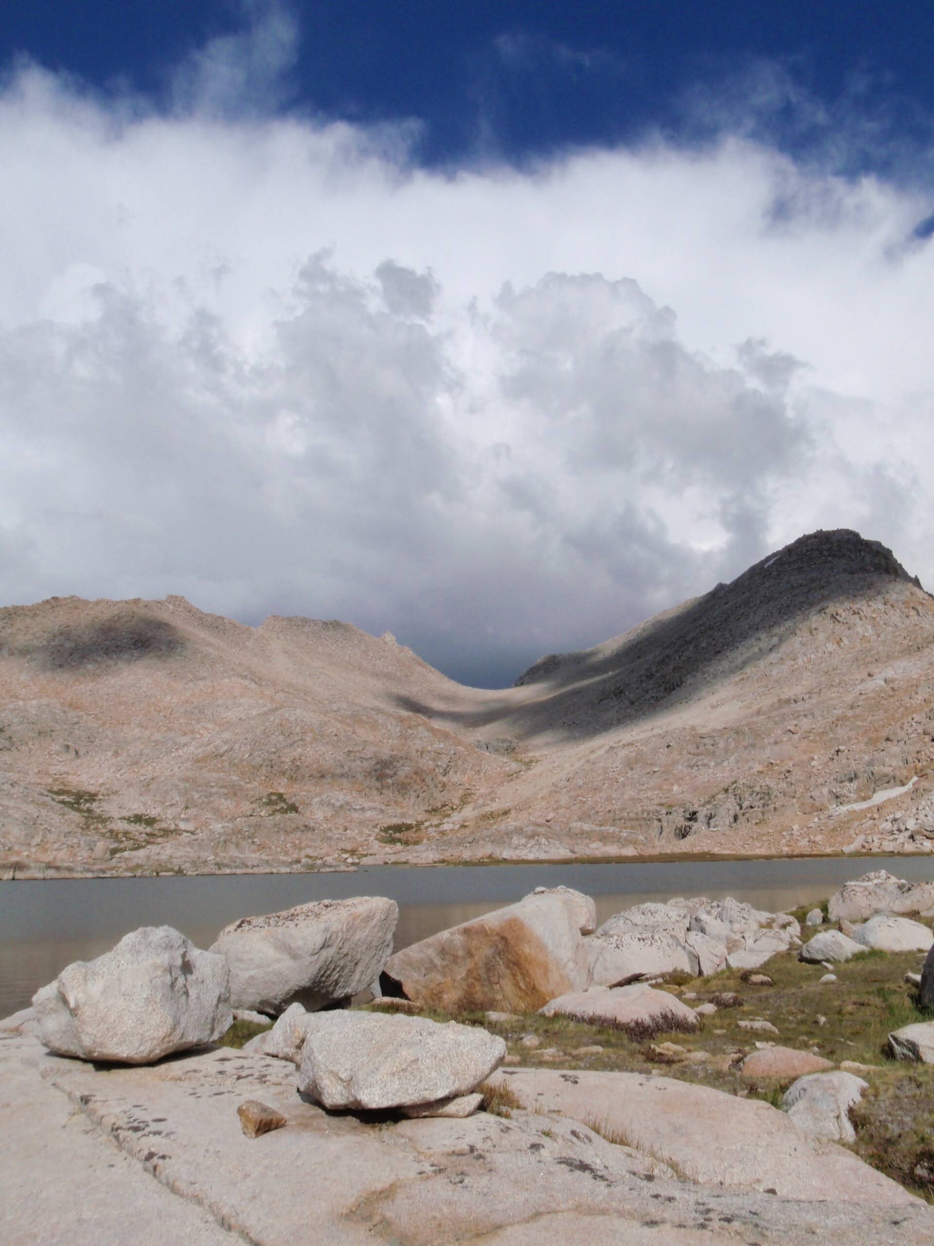
The clouds returned overnight, and we woke to dark skies and the threat of rain. A few light showers peppered us as we packed up camp, and we added layers against the chill though our route for the day started with a climb. We were headed to Royce-Merriam Saddle, another Class 2 pass likely to have a large snowfield on the far side. Our confidence was good after yesterday’s successful navigation of Ruskie Pass. In any case, it would be easy to turn back and take the trail from Lake Merriam down into French Canyon if conditions changed quickly or we didn’t like the looks of it. We enjoyed the subalpine wildflowers tucked into decomposed granite as we climbed in spitting rain. We passed the long lake that occupies much of the valley, and worked our way up the slope to the obvious shallow saddle between Royce & Merriam Peaks.
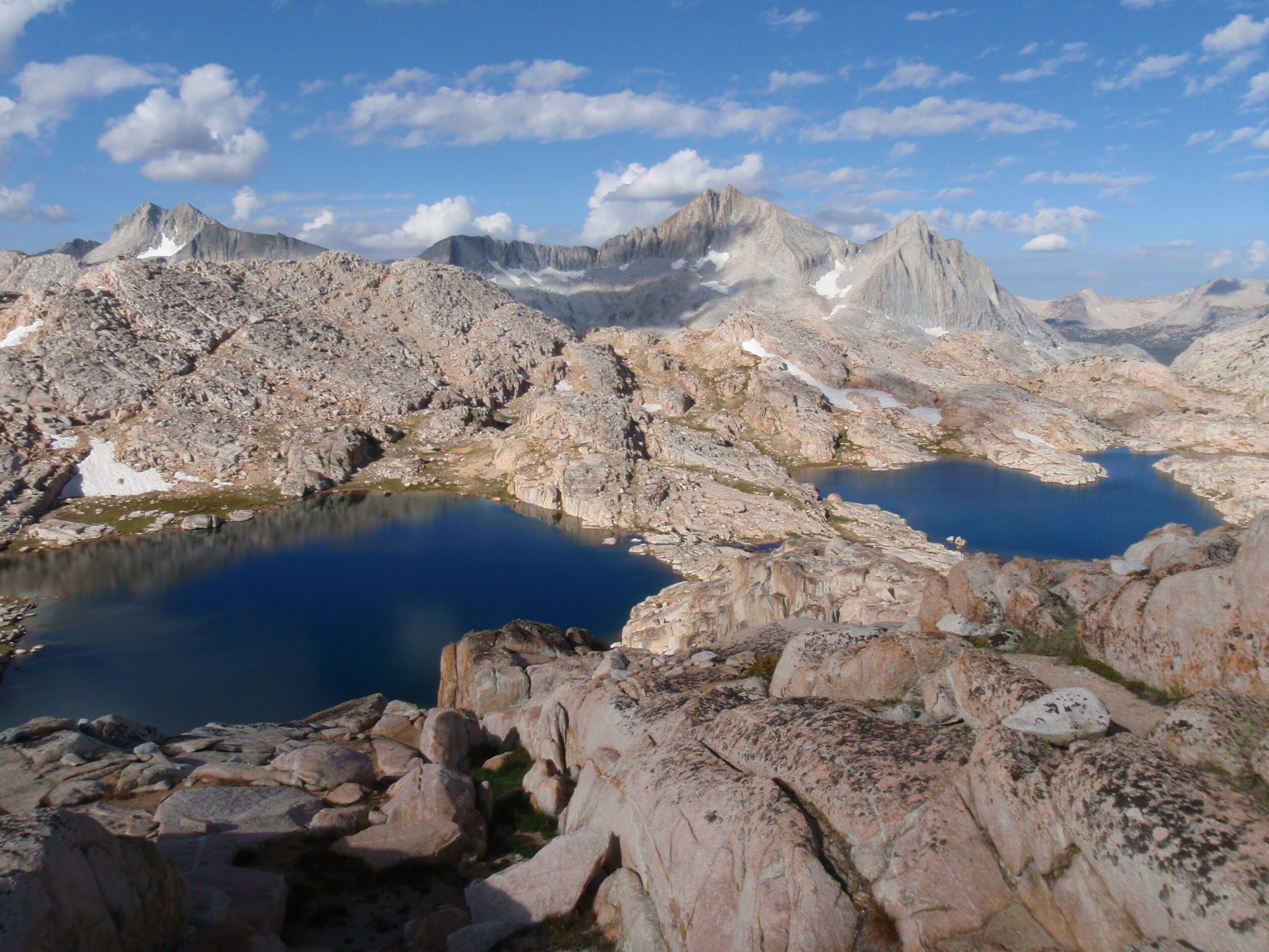
We stood atop Royce-Merriam saddle before 10am, though time doesn’t mean much in the wilderness and with such stormy skies it could have been nearly any time of day. Merriam Peak rises steeply from the saddle and we enjoyed this up-close look at the interesting rock formations on its face. The snowfield was steeper and wider than that of Ruskie Pass, but still seemed quite doable especially with our microspikes and ice axes. We started down, glad to be past the technical crux of our day before the weather changed for the much worse. The Royce Lakes are a series of bright aquamarine pools that contrast beautifully with the crags of Merriam Peak, Royce Peak, and Feather Peak. We would have stopped to enjoy them if the sky had looked different, but as it was we continued on to Royce Pass, the very low saddle that leads from the middle Royce Lake back into Granite Park. We chuckled as we reached it; its elevation is perhaps less than 100’ above the level of the lake, making it by far the easiest cross-country pass we have ever used in the high Sierra.
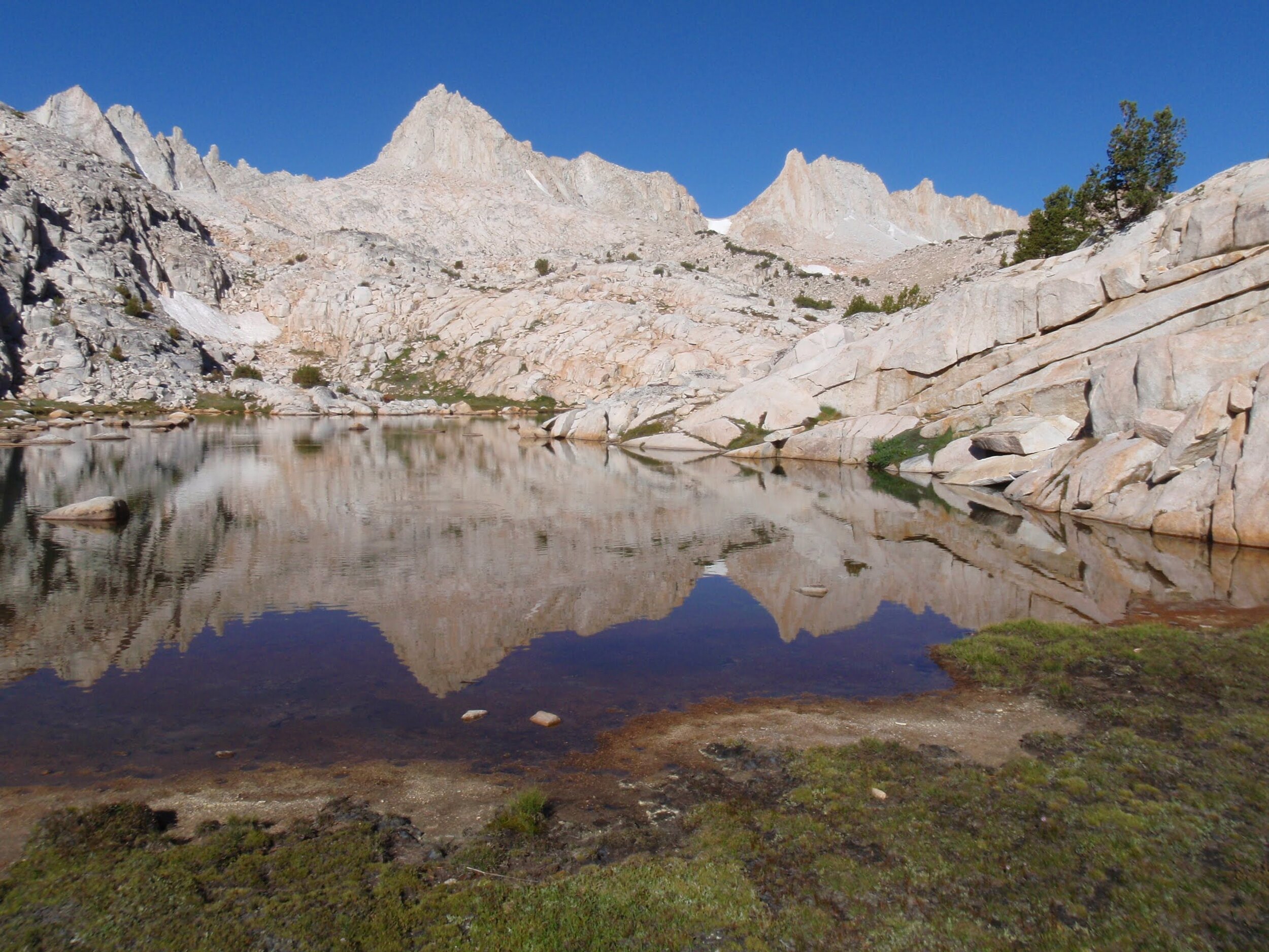
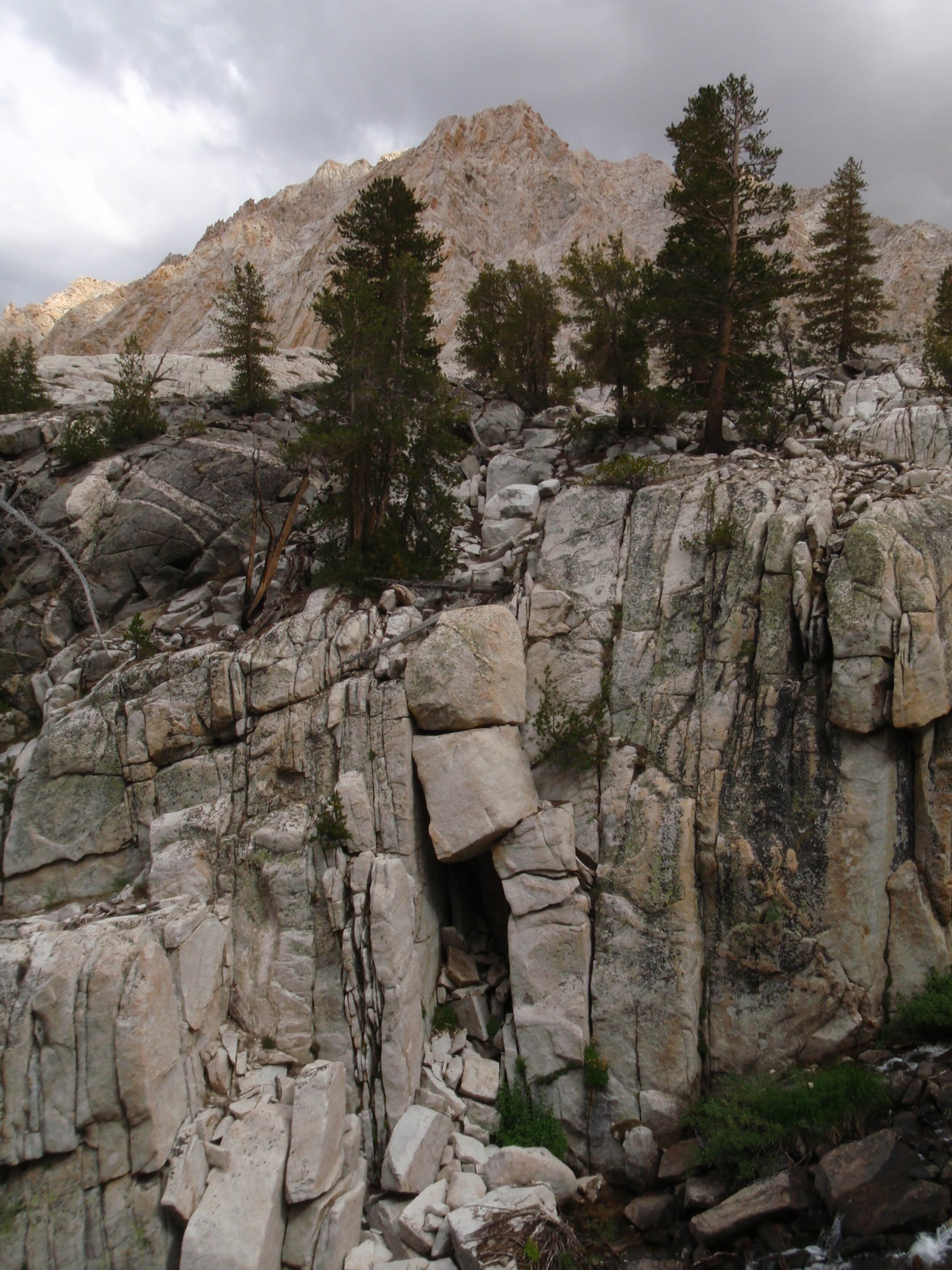
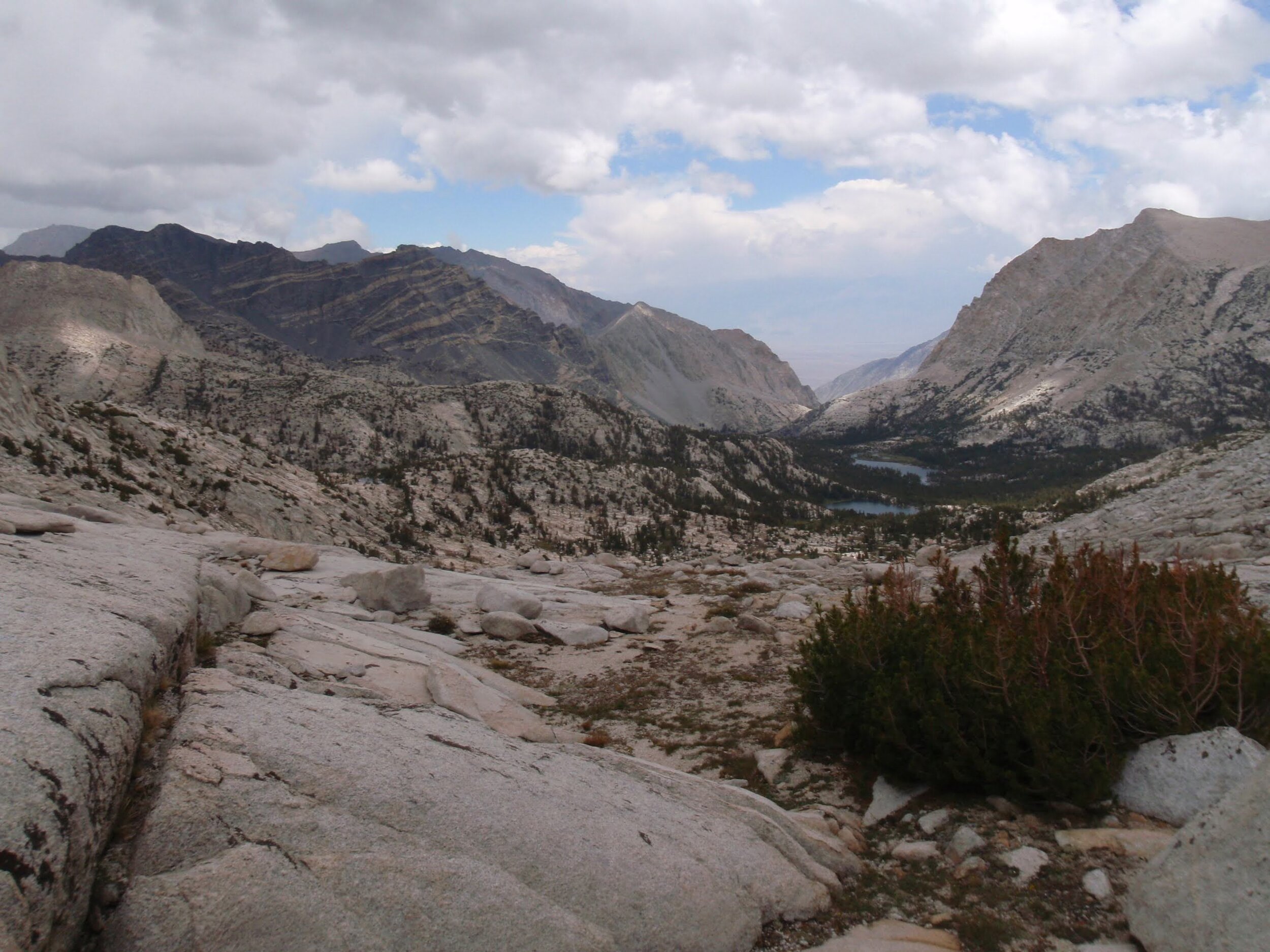
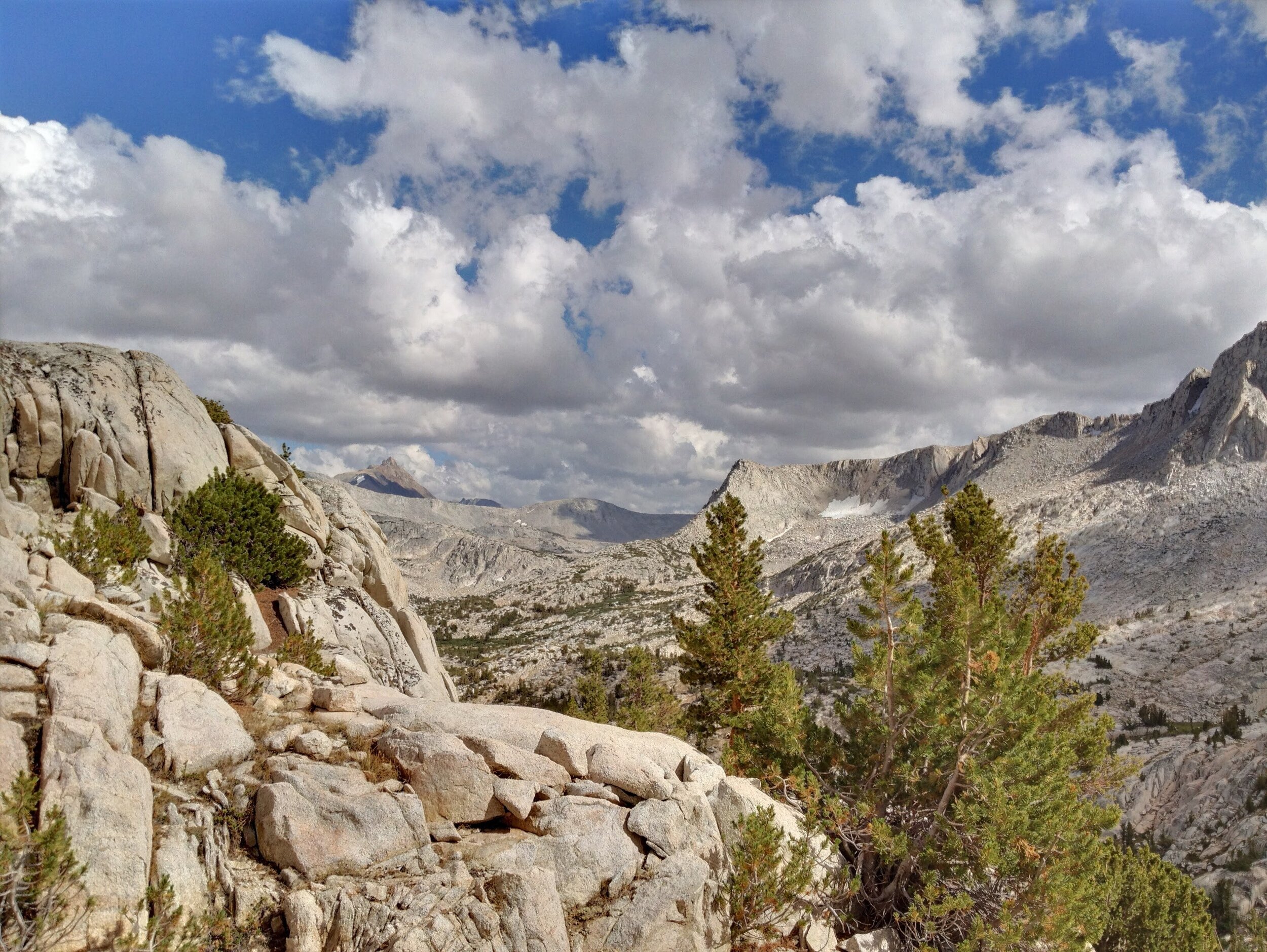
From Royce Pass it was a gradual and easy descent across slabs and easy terrain back into Granite Park. We had a great vantage point down the Pine Creek drainage with peekaboo views all the way to the Owens Valley. We recognized the Pine Lakes, and several of the multi-colored crags that line the Pine Creek trail. Reaching Golden Lake in the early afternoon, we decided to set up camp there and spend the rest of the day exploring the northern half of Granite Park. We made our way over the ridge north of the Italy Pass “trail”, naming our crossing point Chalfant Col (hey, if Royce Pass can be named…..). The unsettled sky continued, though we didn’t get any more precipitation. We found ourselves alone in Chalfant Lakes basin and would have gone for a swim if the day was warmer and/or the sky less threatening. Instead, we took the opportunity to check out the upper reaches of this stunning basin under the watchful eye of Mt. Julius Caeasar, thinking about all of the places we’d been in just the past few days since we crossed the shoulder of this imposing peak via Italy Pass. We eventually made our way back to Golden Lake just in time for the clouds to clear, and enjoyed our last evening in the mountains surrounded by Whitebark pines on the shore of a sweet little alpine lake.
Day 4 Stats: 7.5 miles (off-trail) | 2315’ climb | 2640’ descent
Day 5: Golden Lake (~10,875’) to Pine Creek Pass TH
Our last day the sun rose in a brilliant blue sky, not a cloud in sight. We lingered over breakfast, never eager to leave the mountains after such a fantastic trip. It’s an easy cross-country meander back to the trail, and then we retraced our steps down the Pine Creek trail to the trailhead and our car. In the cool of the morning, with near-empty packs, the downhill miles went by in no time. We’re sad to leave this beautiful area but will definitely be back.