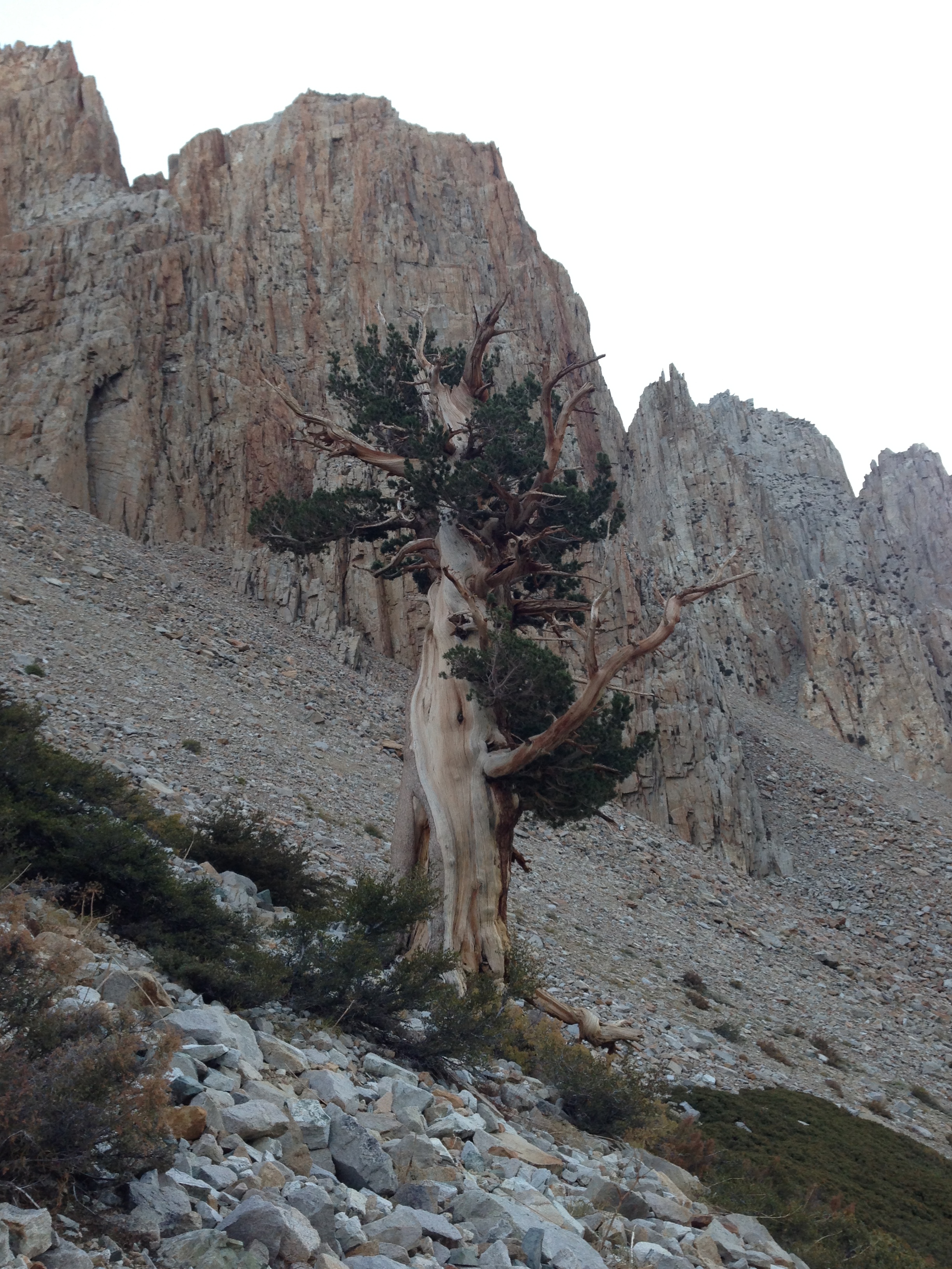
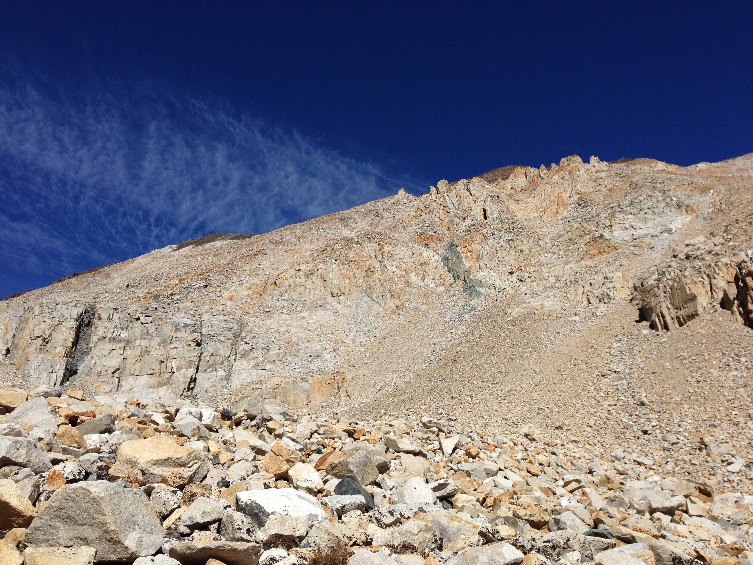
“King Col is a very steep mess of terrain with hard packed dirt scattered along crumbly granite faces. There are small rocks that make the slope even more unstable to stand on. Every step down is an exercise in how close you’re willing to come to being smashed into sausage as you tumble down the slope. ”
LOCATION
John Muir Wilderness & Kings Canyon National Park, CA, USA
MILEAGE
~62 miles on-trail, ~12 miles off-trail
TOTAL CLIMB (& Descent): ~23,370'
DAYS: 9 SEASON: Late September
Year: 2013
STARTING & ENDING TRAILHEAD
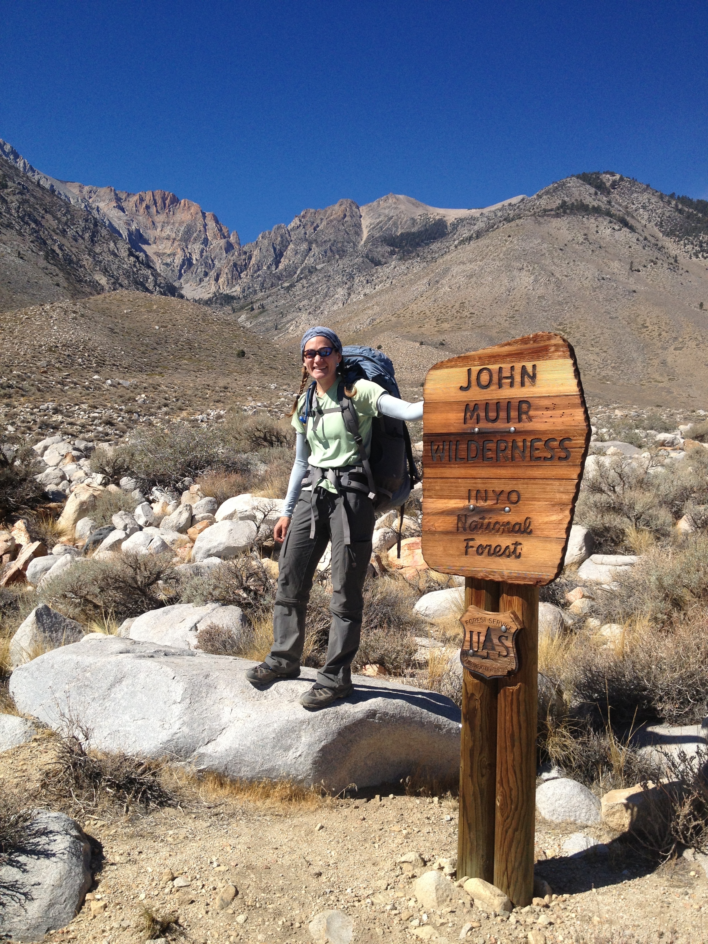
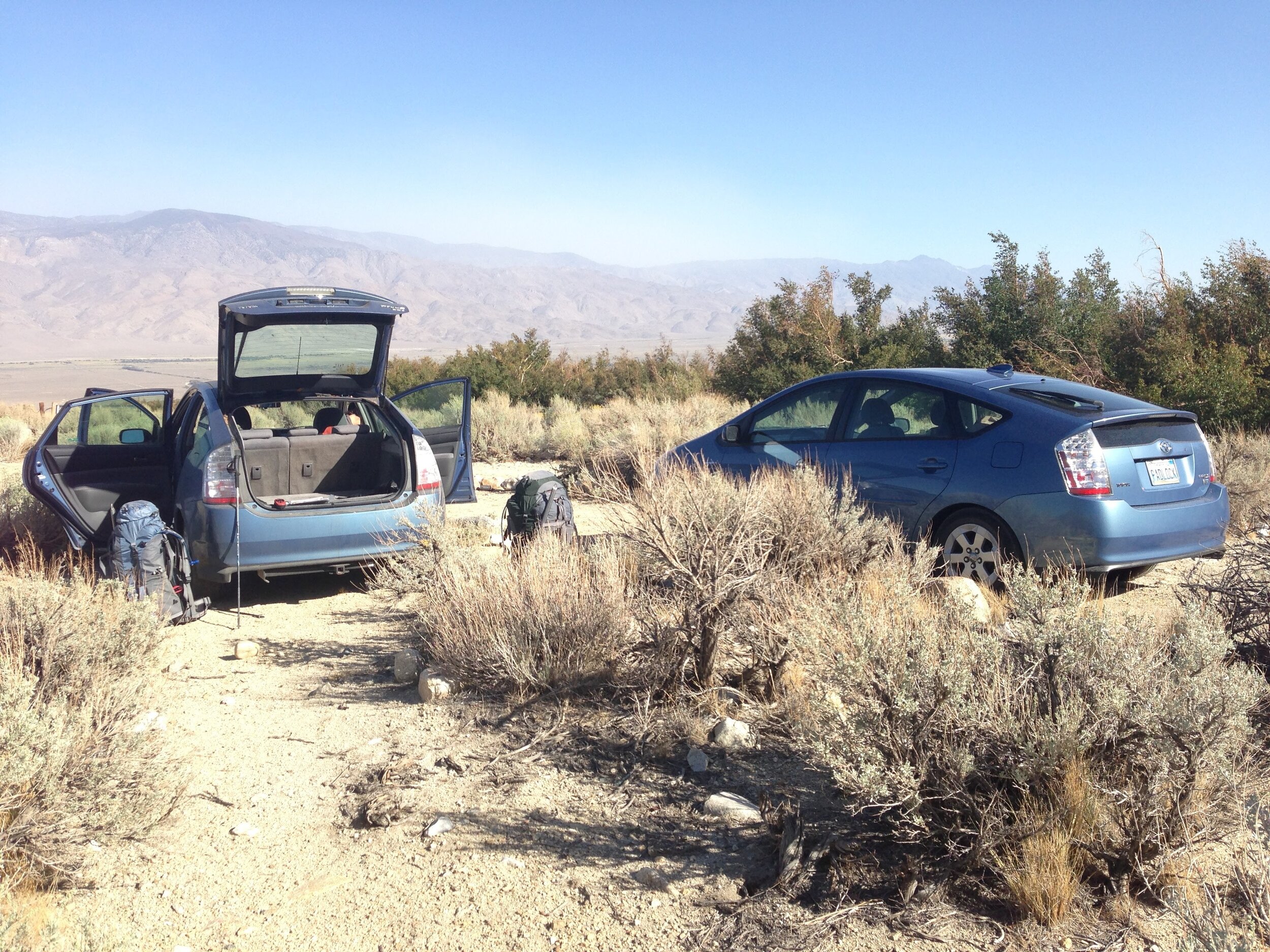
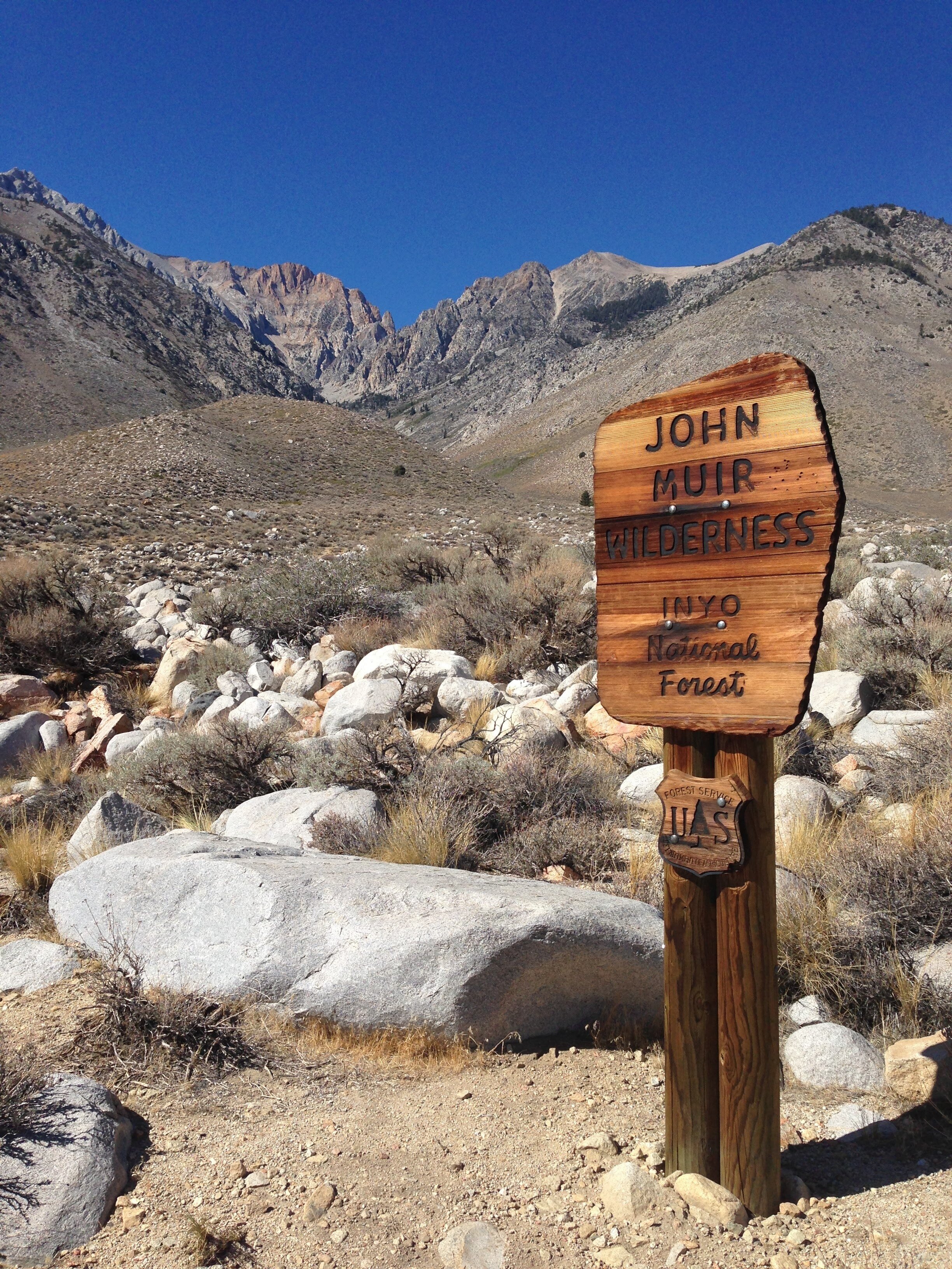
Taboose Pass

Map: Tom Harrison Kings Canyon High Country Trail Map
GuideBooks: The High Sierra: Peaks, Passes, Trails by RJ Secor & Kings Canyon National Park by Mike White from Wilderness PressAn interesting comparison trip: Gardiner Basin in 1996 by Charles Hayden Day 1 - Taboose Pass Trailhead Corral - 5.8 mi On-trail | Total Climb 4710' | Total Descent 1609'
Long drive, short hike. We had a long drive from home, and starting Taboose Pass in the afternoon with heavy packs makes for a slow ascent. It’s not as exposed/hot as some of the east side approaches, but it’s no walk in the park either. We found a decent spot near Taboose Creek about halfway to the pass and were happy to call it a night.
Day 2 - Lower Taboose Creek Crossing - 14.7 mi On-trail | Total Climb 6378' | Total Descent 4054'
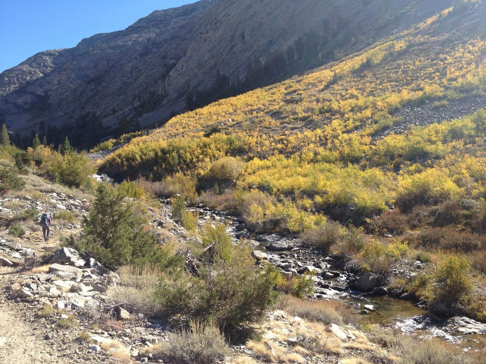
Bluebird skies and cool morning temps made for a reasonably pleasant walk to the top of Taboose Pass. It was a bit windy, so we didn’t linger. We didn’t pass a single other hiker, not surprising as there has only been one car at the trailhead besides us. We enjoyed fall colors as we passed the lateral to Bench Lake and headed on to Lake Marjorie for lunch. It was tempting to take a dip, but there was a chill in the air and we still had a few miles to go. Our goal was the Twin Lakes below Mt. Cedric Wright, and I figured we could have a swim there if we arrived early enough. Pinchot Pass is one of the easiest on the whole JMT, but our packs are still heavy with a week+ of food, and the day stayed cool enough that we both kept long-sleeved layers on for the whole climb. We love the multi-colored rock and red hues that color the Sierra south of Pinchot, and lingered at the pass a bit to gawk. As we started down the switchbacks there was a definite shift in the weather and clouds started to build in earnest to the south - so much for that late afternoon swim! Anyhow, we made it to the Twin Lakes without incident and found a nice protected site in low trees, between the two lakes. It was a perfect spot for skywatching and there was plenty of sky to watch as the dark grey swirled low against the peaks to our south.

Day 3 - Twin Lakes - 13.6 mi ON-trail | Total Climb 3784' | Total Descent 3792'
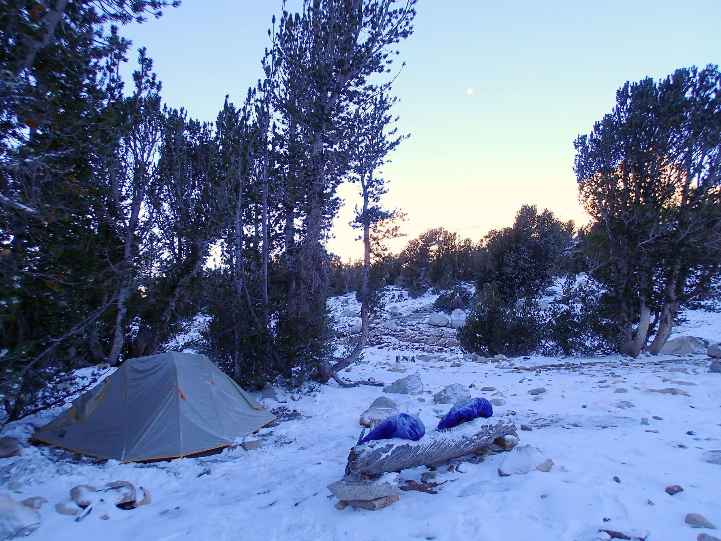
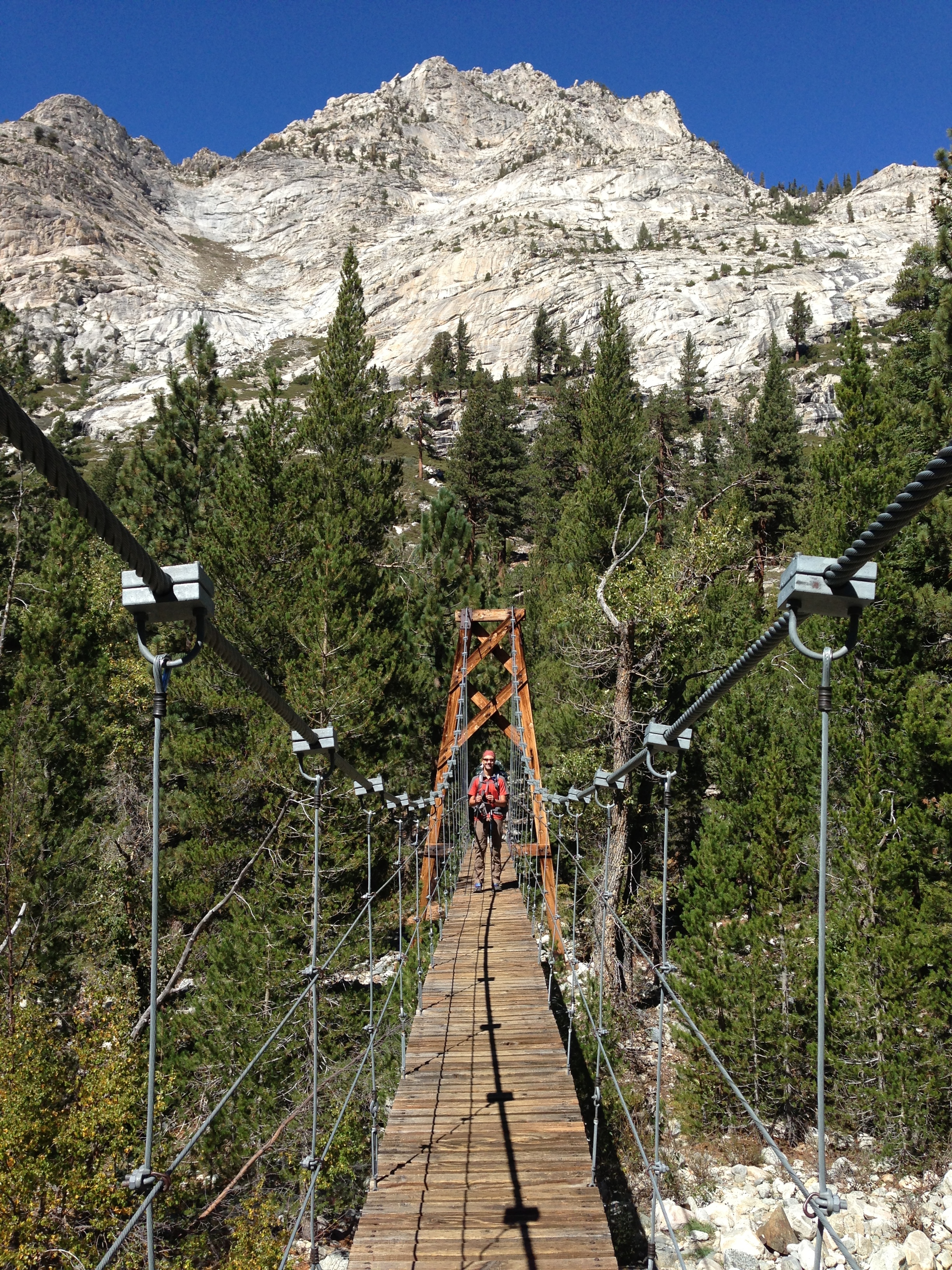
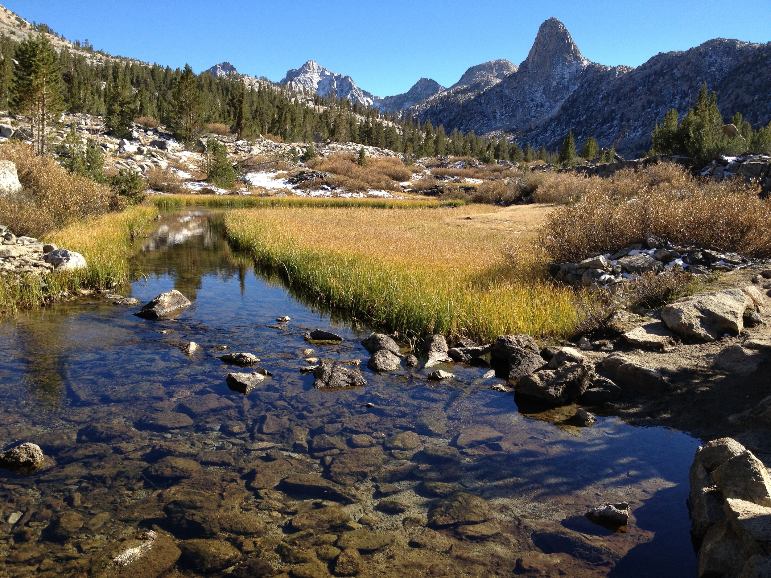
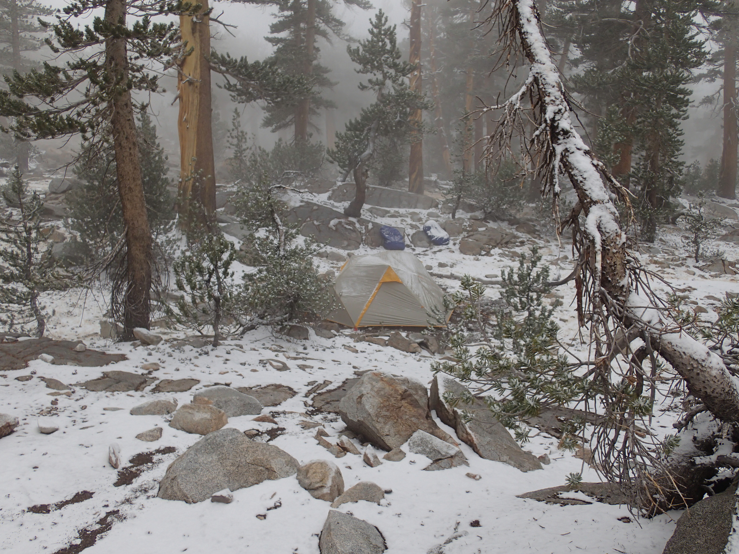
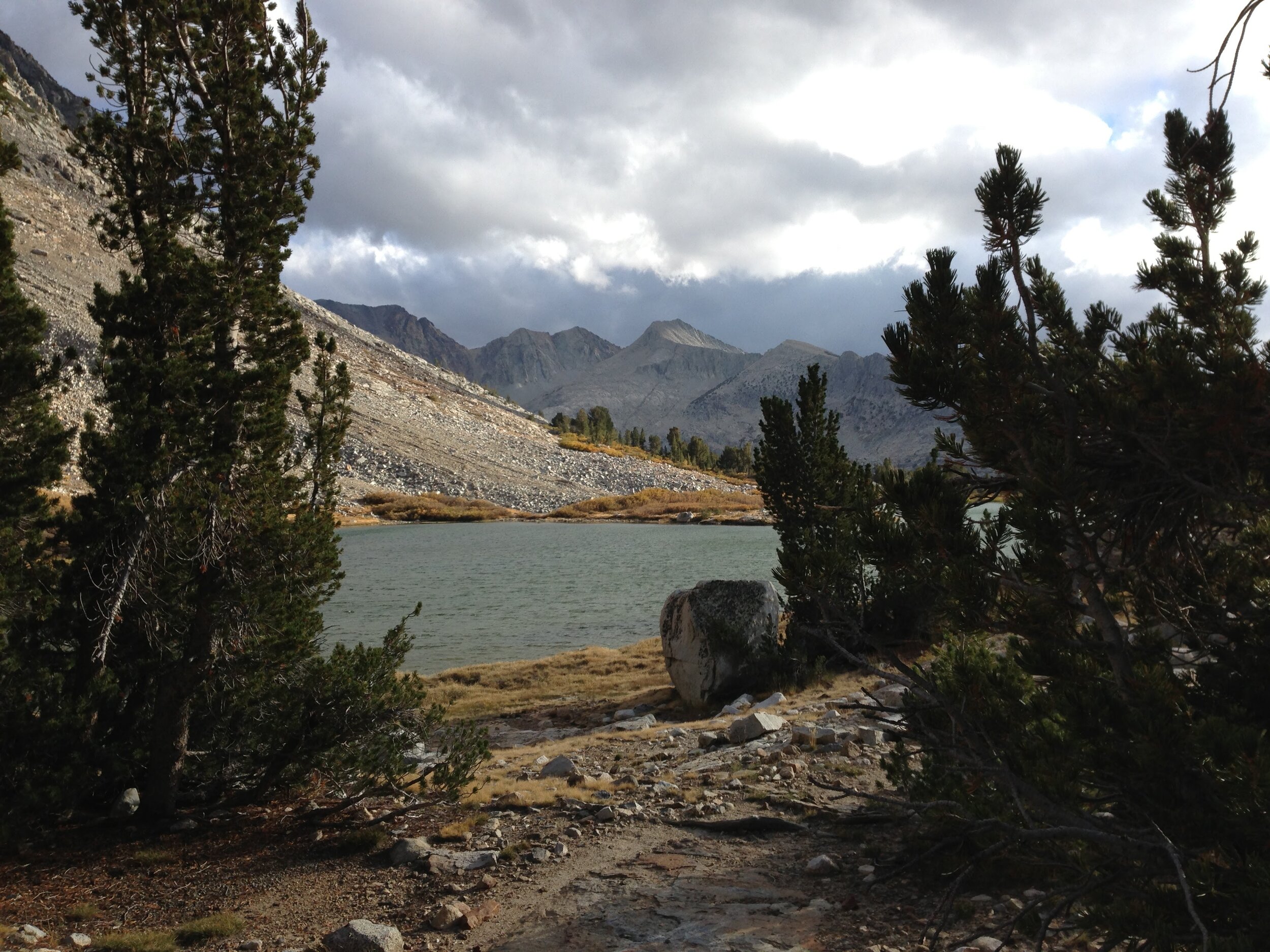
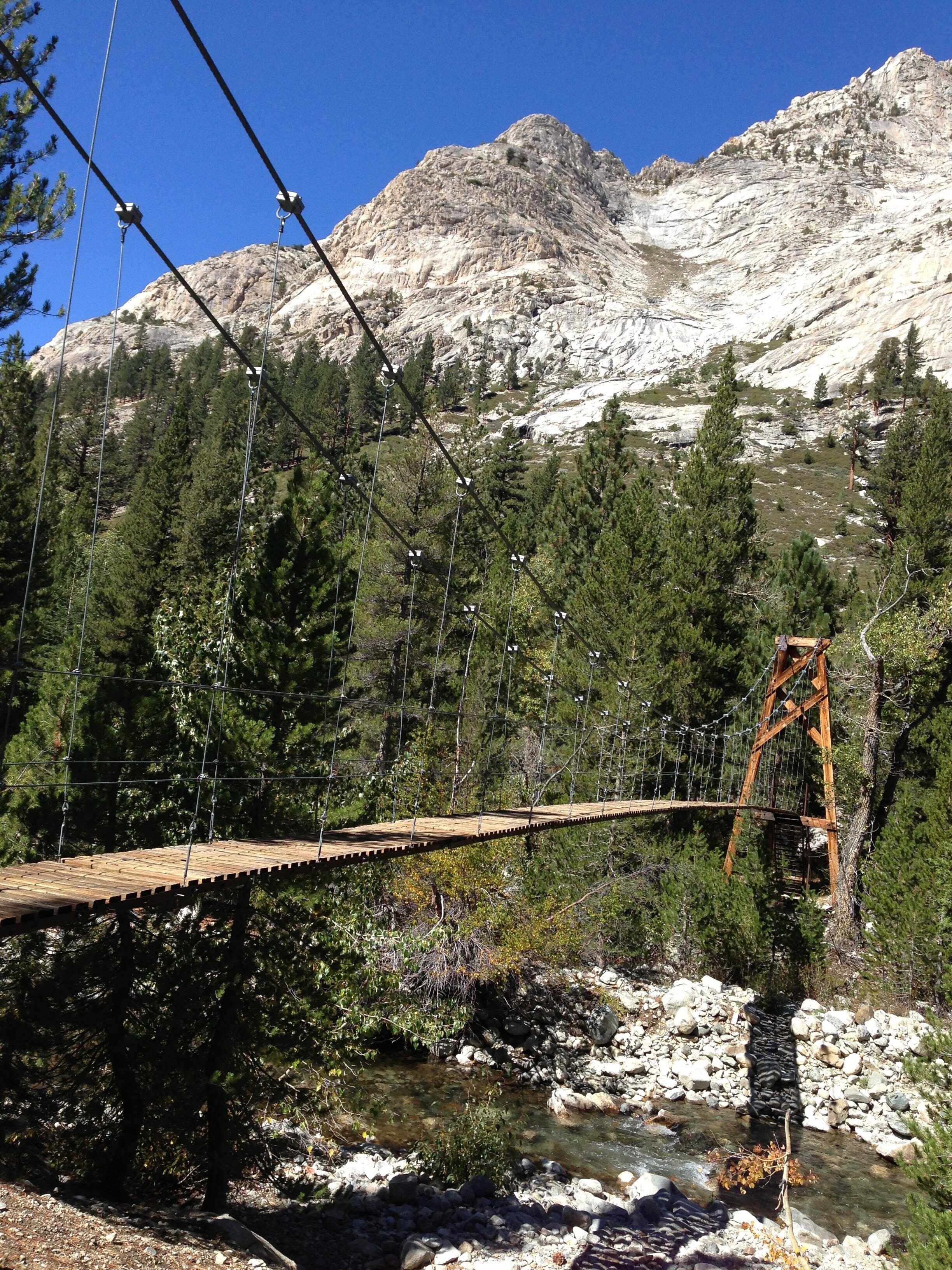
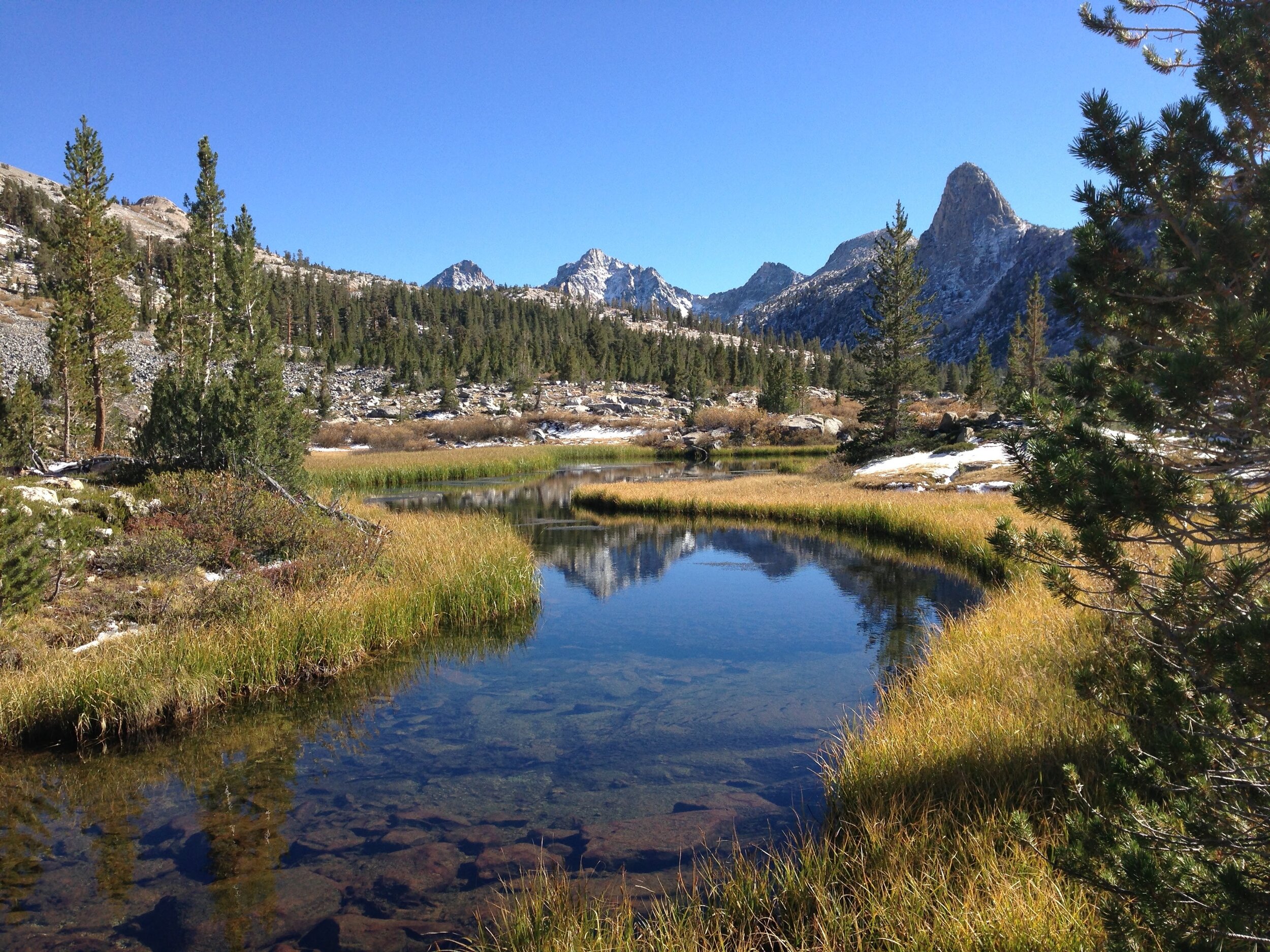
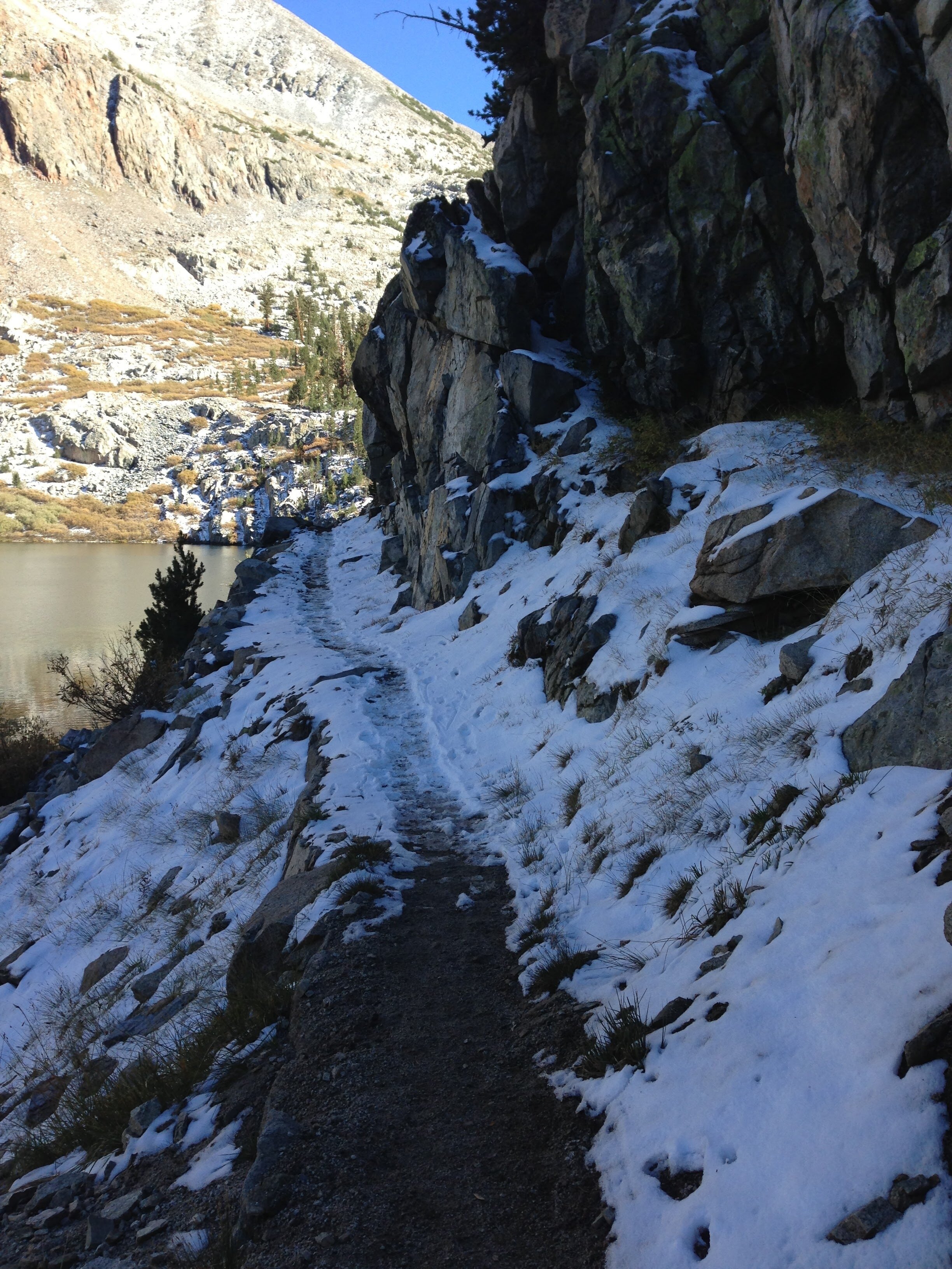
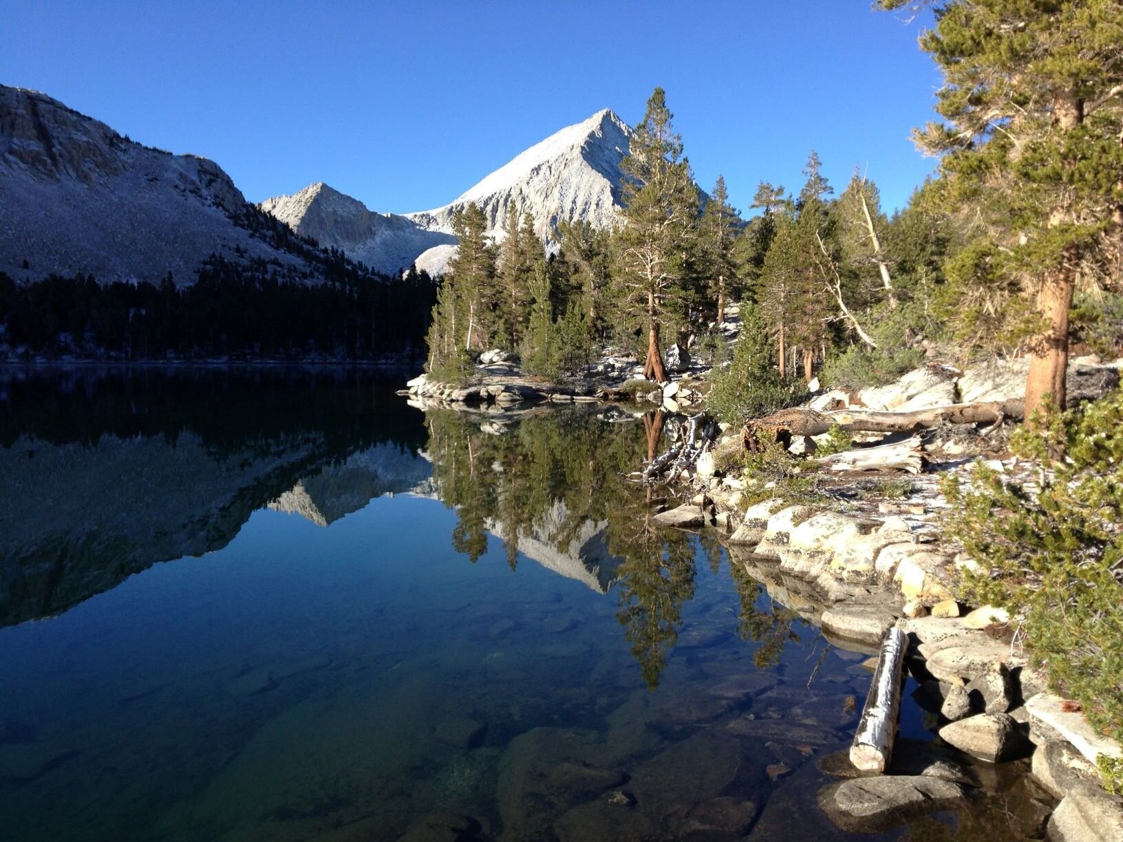
We got up a few times in the night to brush snow off of our UL 3-season tent, and woke to several inches of fresh powder in our spot between the Twin Lakes. Fortunately the sun rose to a clear sky so it started to melt right away. It’s a pleasant walk south on the JMT/PCT past Mt. Cedric Wright and along the Woods Creek drainage. There were big patches of brilliant yellow aspens up on the eastern slopes, and we had a long gaze up the Window Peak drainage as we passed. Window Peak Lake via Explorer Pass has been on our list for a while, and we have considered making a visit on this trip, time/conditions permitting (spoiler: we didn’t go). Instead, we continued to the “Golden Gate of the Sierra,” a bouncy suspension bridge that crosses Woods Creek providing access to the Rae Lakes Basin. As we started to gain elevation along the South Fork of Woods Creek, we came into the range of southern foxtail pines (pinus balfouriana), a high-elevation tree endemic to California and one of our favorites. This 5-needle pine is closely related to the ancient bristlecones of the Great Basin. Although it was named for the resemblance between its branches and a bushy fox tail, we love its dramatic scraggly posture and often call it the “bad hair tree.” We enjoyed the classic view of Fin Dome & the peaks of the Rae Lakes basin from across the yellowed meadow of the South Fork, and found the crossing an easy rock hop with late season water levels. There were still pockets of snow in the deep shadows from last night’s storm, and we found the catwalk along Dollar Lake just a bit icy. We reached Rae Lakes late in the day, surprised to find that we had the entire area to ourselves. It may be chilly and you might have to contend with snowfall, but the opportunity to see popular areas like this is a great selling point for late September trips. Of course, the sun dips behind the ridgelines early and once it does it gets cold quickly, so we set up our tent and set about making water and dinner. Excited to head into Gardiner Basin tomorrow, a spot neither of us has ever visited.
Day 4 - Rae Lakes - 2.9 Mi Unmaintained trail + 3.7 mi Off-trail | Total Climb 2497' | Total Descent 2021'
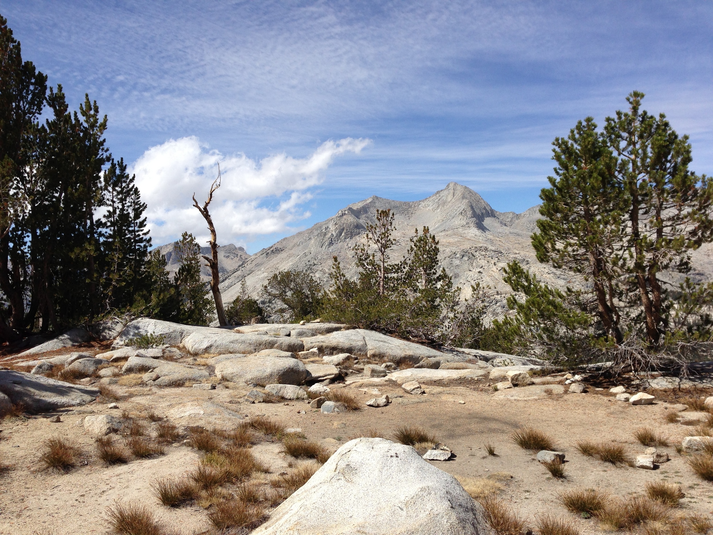
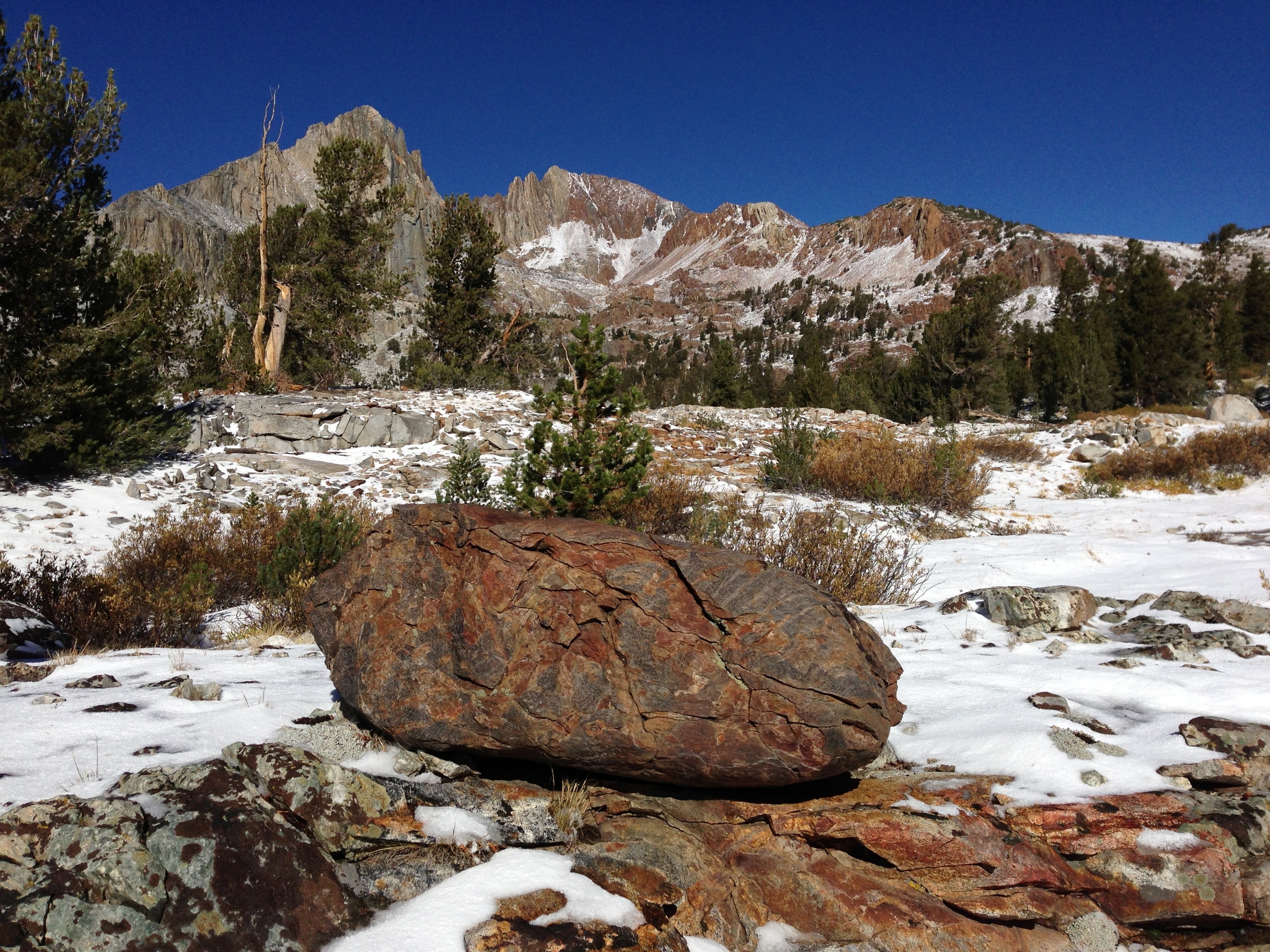
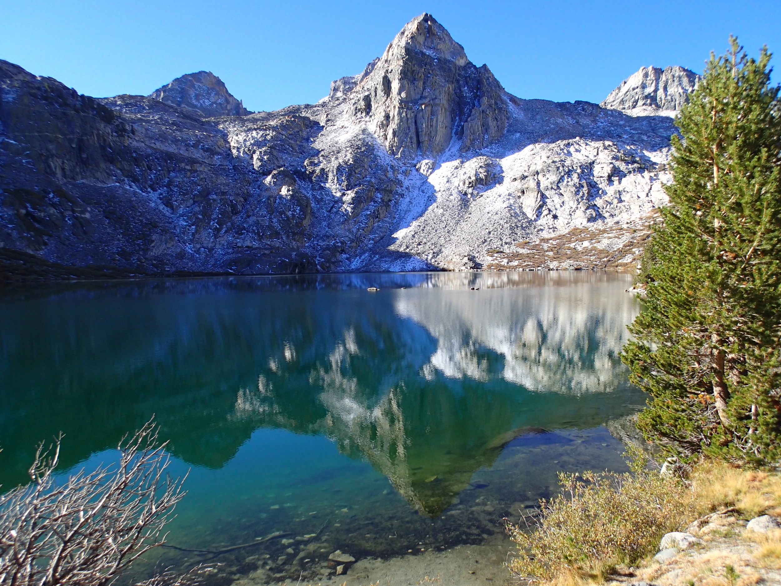
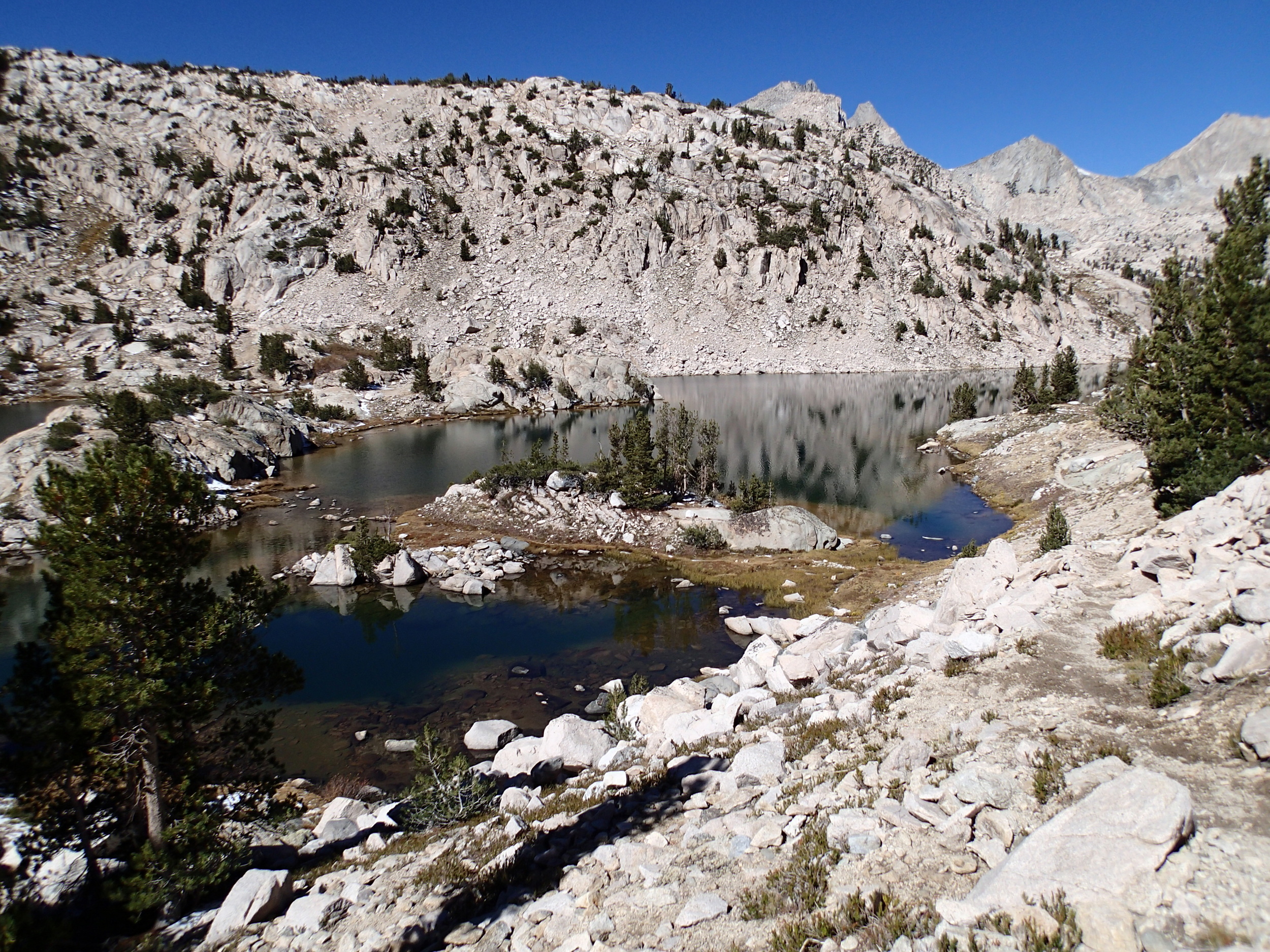
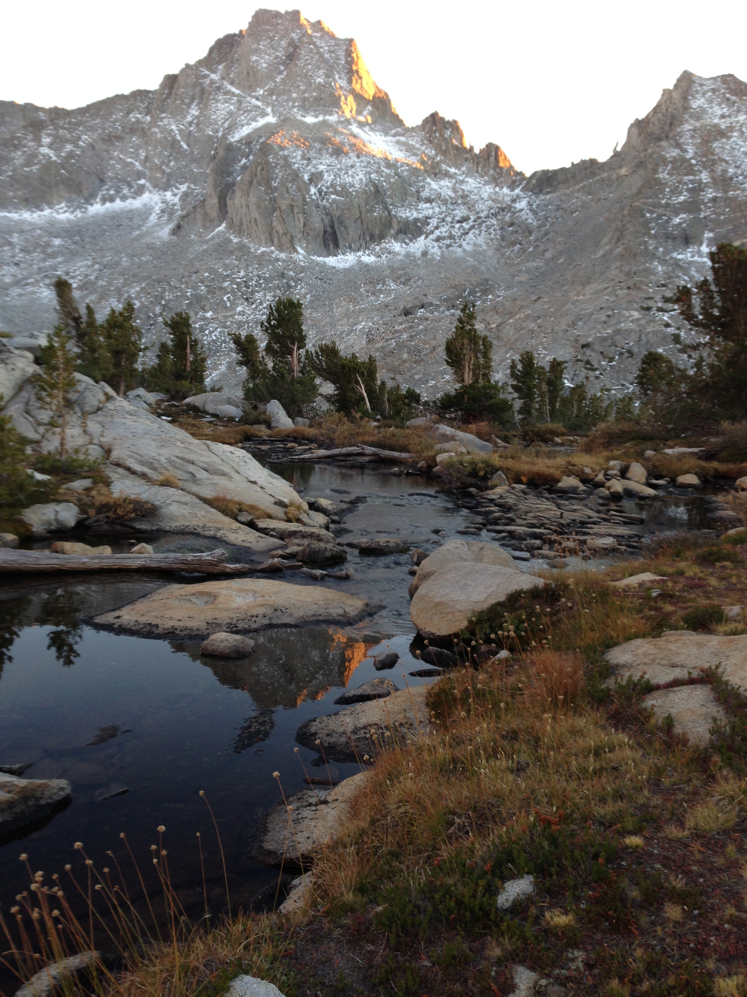
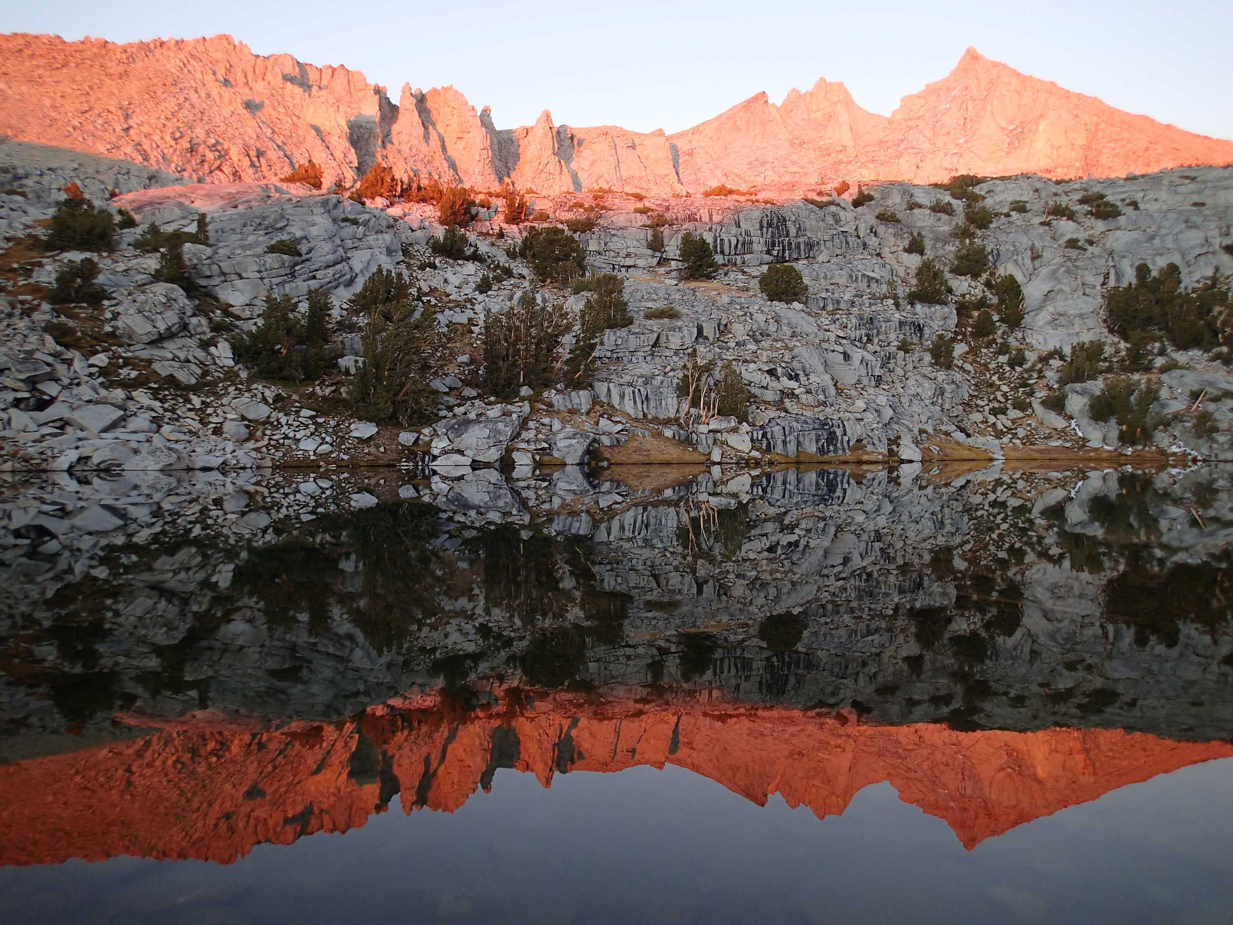
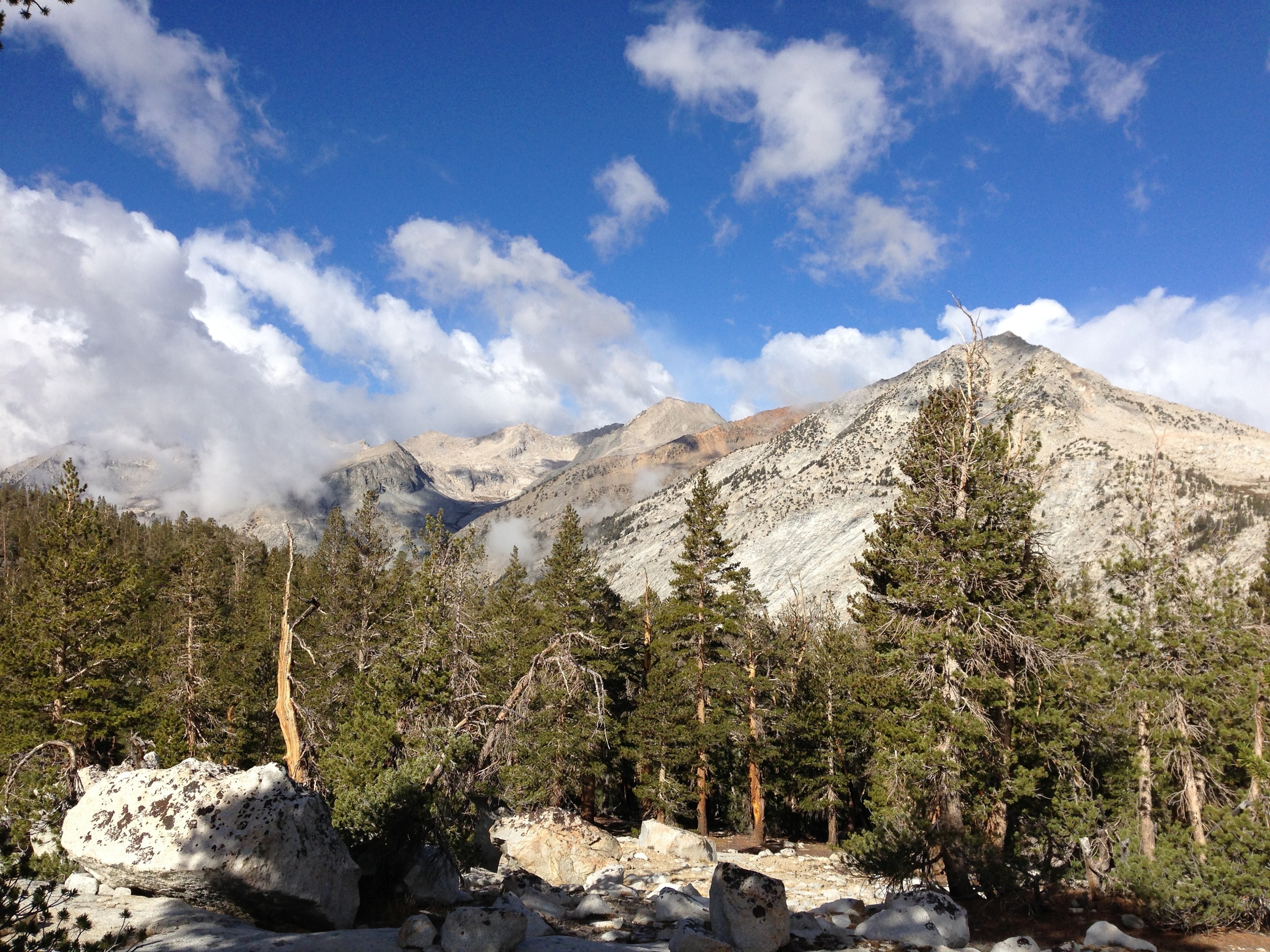
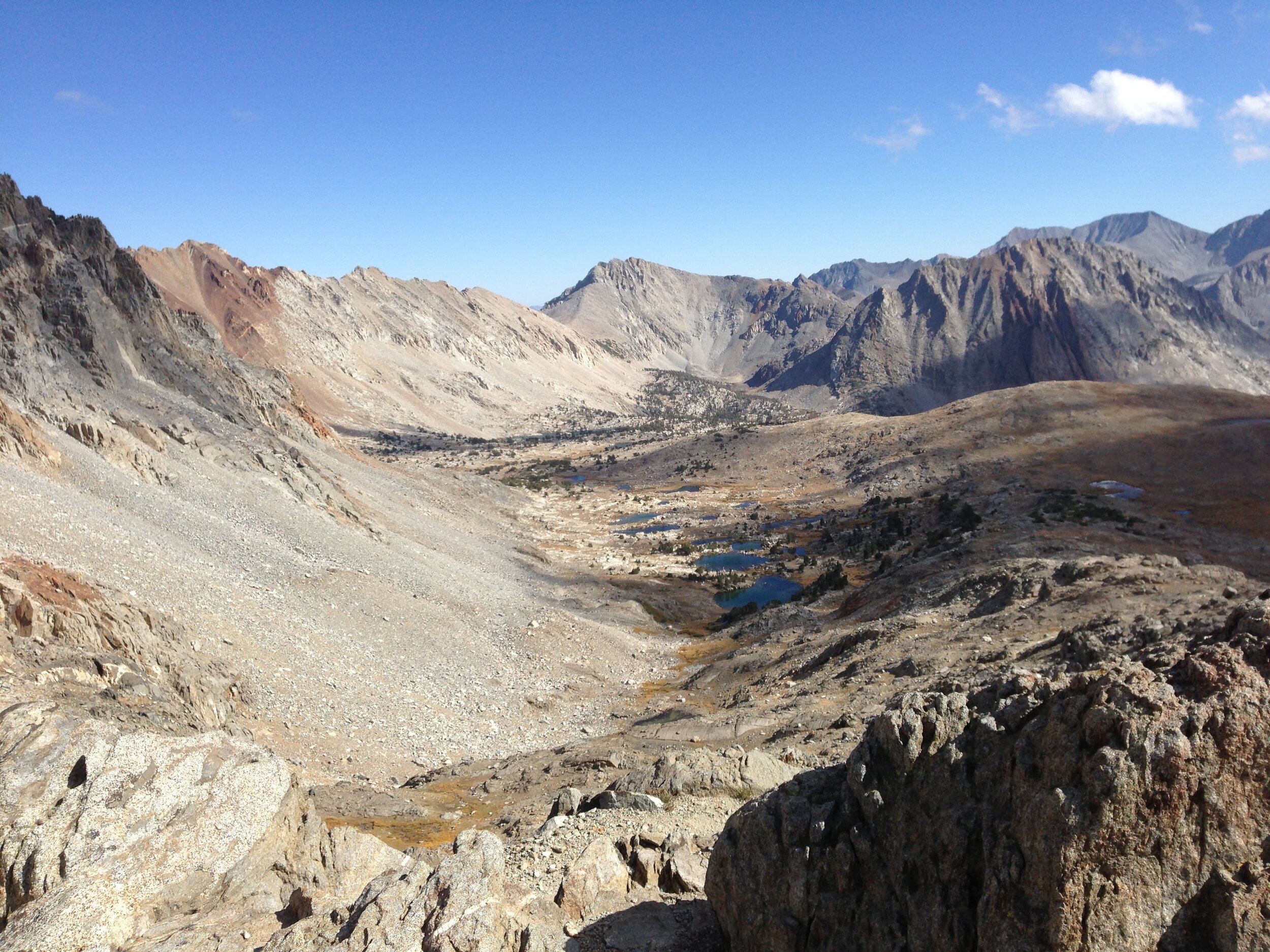
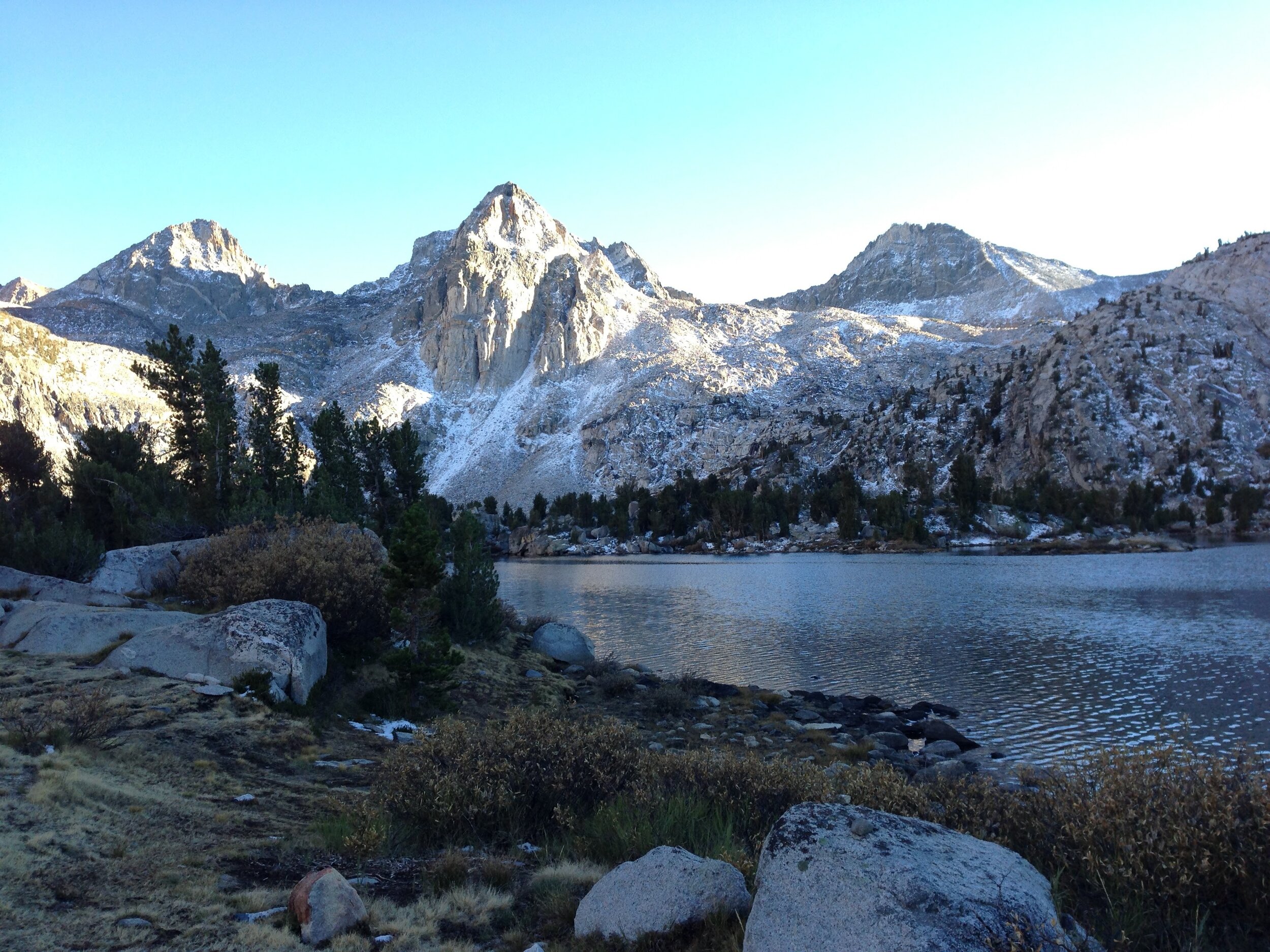
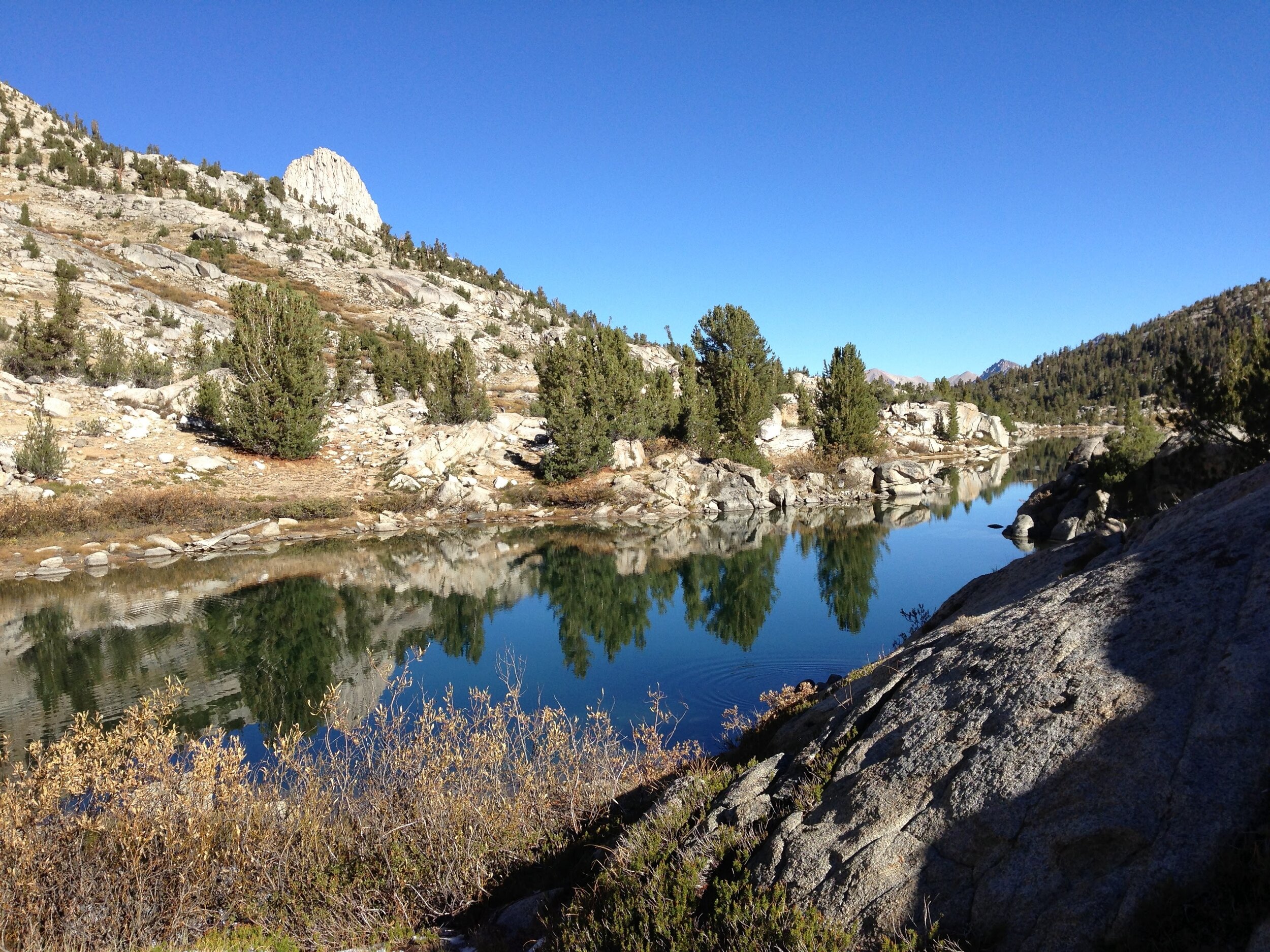
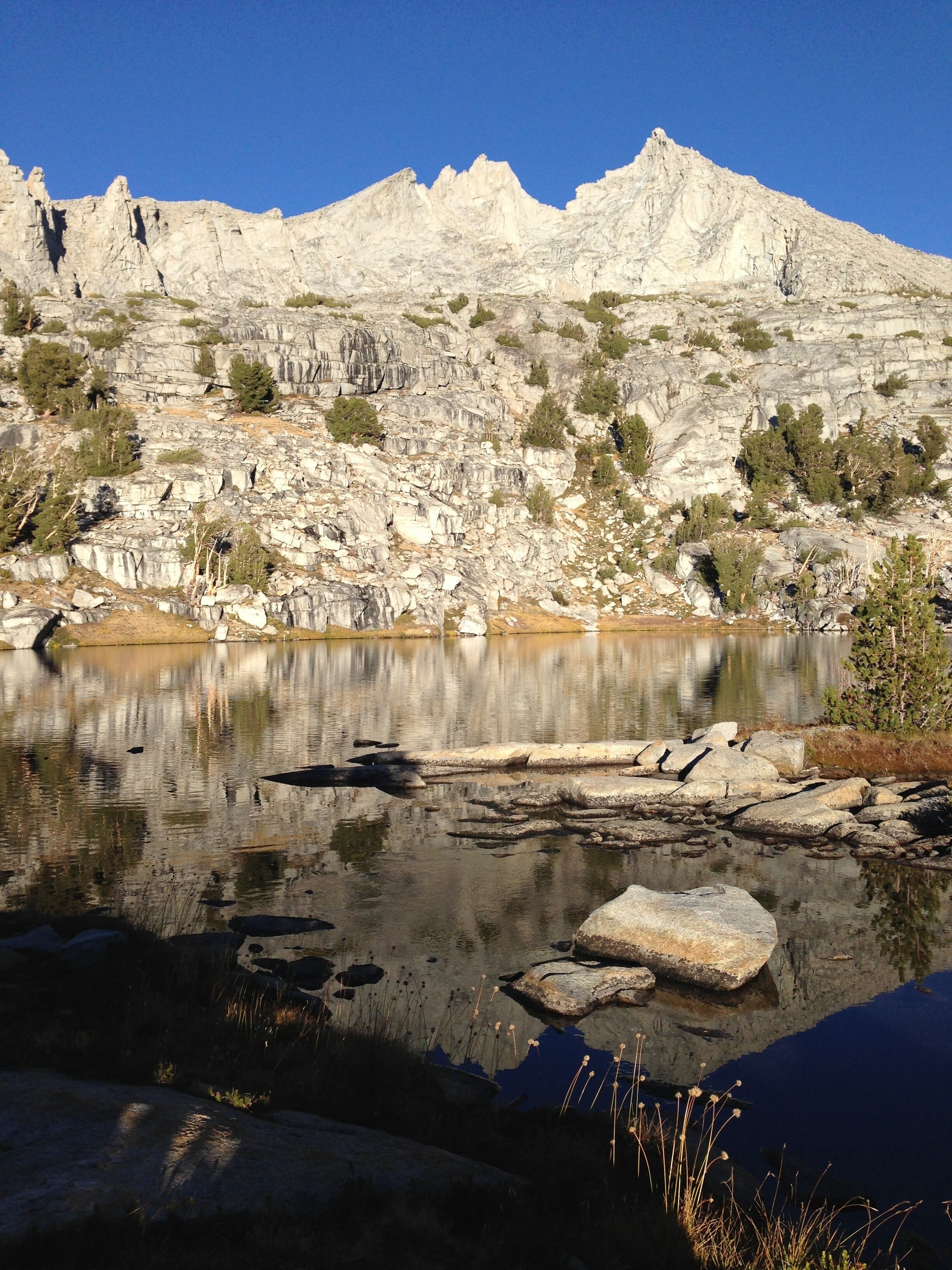
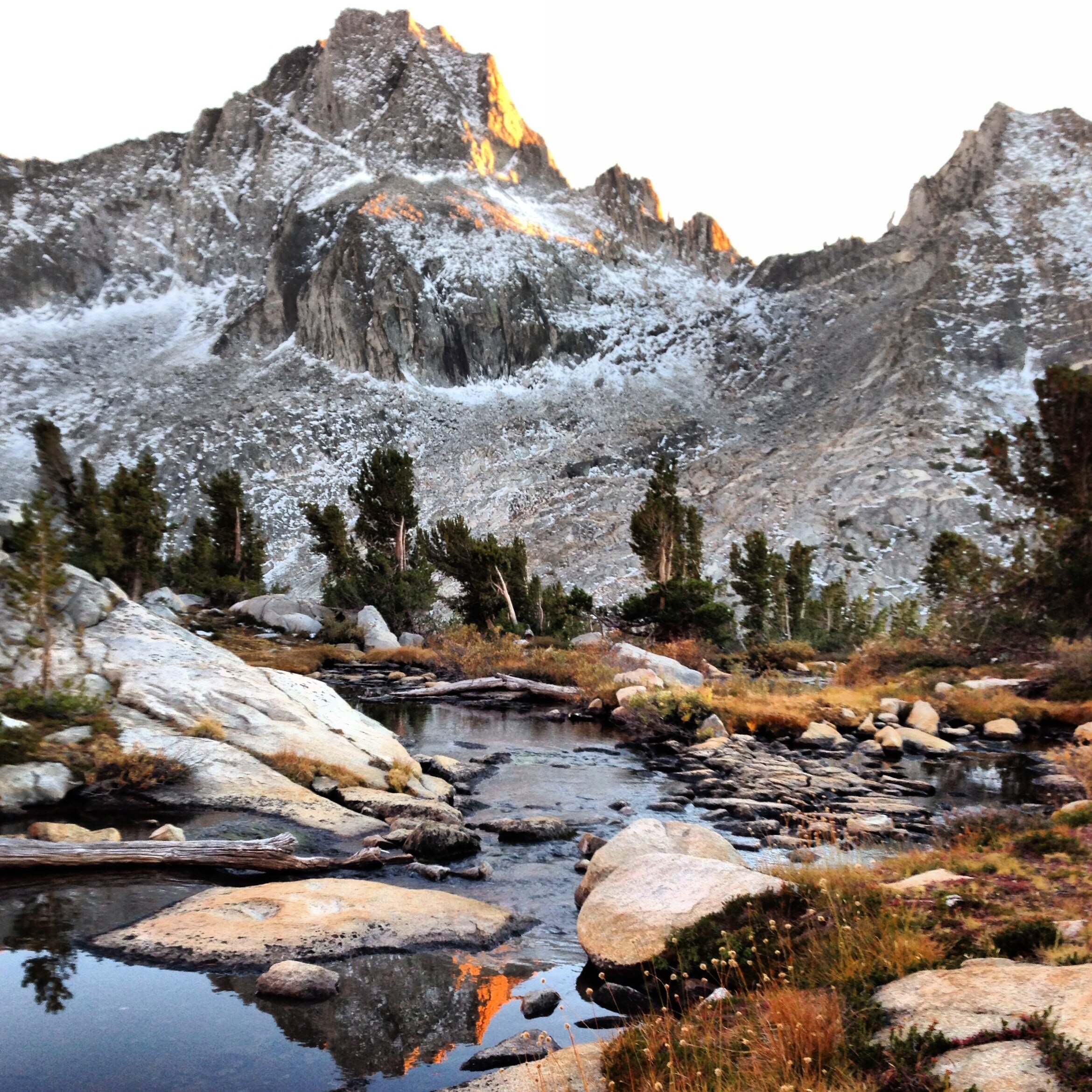
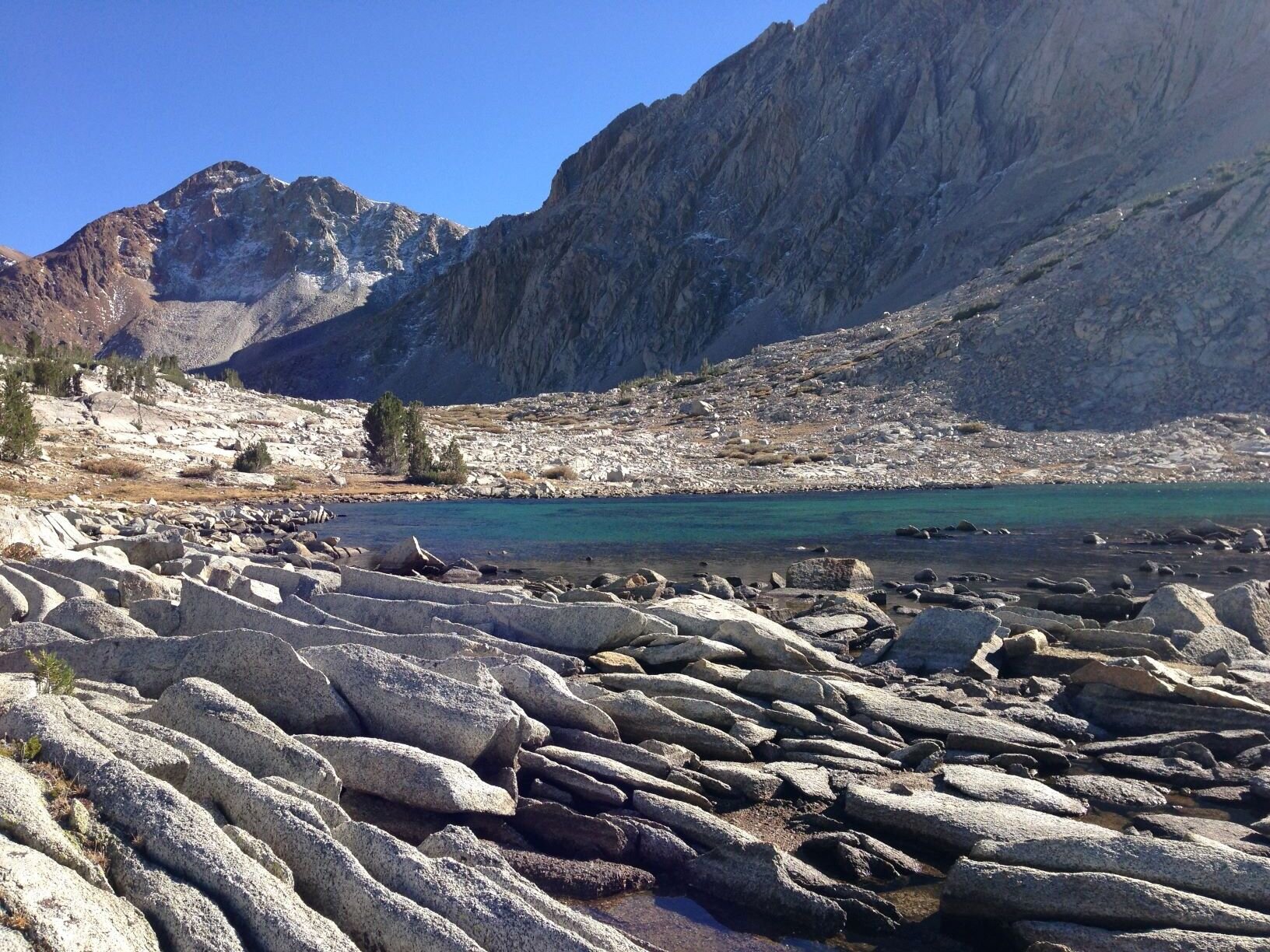
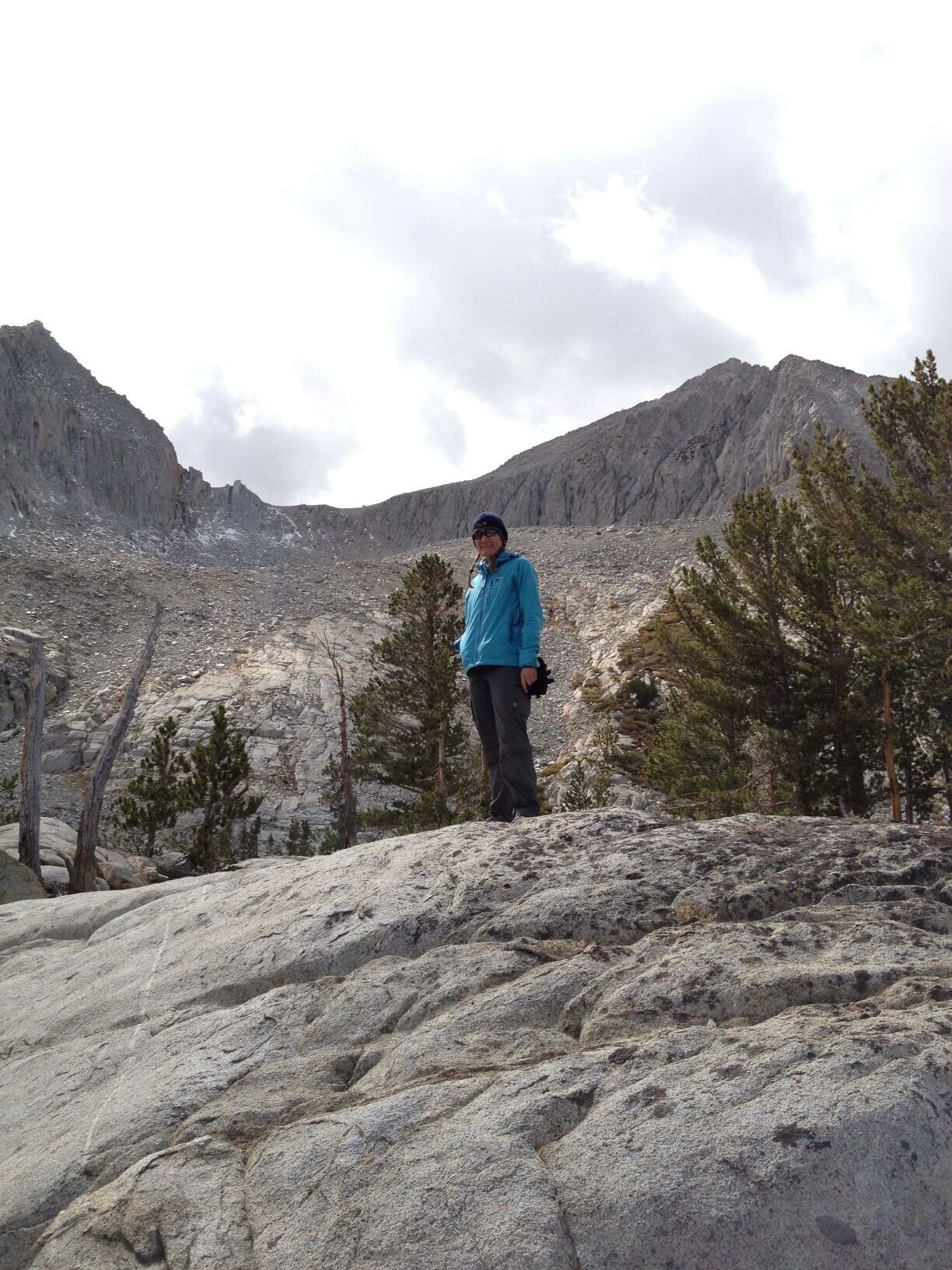
We weren’t sure what to expect from the “use trail” / “unmaintained trail” that leads into the 60 Lakes Basin from Rae Lakes. What we found was a well-worn path difficult to distinguish from plenty of maintained trails in the High Sierra, so it was easy travel into this beautiful basin. Without routefinding to contend with, we were free to enjoy the changing views of distinctive Fin Dome and the many lakes dotted between granite and trees. We didn’t run into other hikers this late in the season. It would have been a sweet place to camp, though I suspect it gets plenty of use earlier in the year given the easy access from the popular “Rae Lakes Loop.” We pushed on to cross 60 Lakes Col, a class 2 pass that had some tedius talus but was otherwise pretty straightforward for us. After a brief nap on the rocky shore of the first large lake, we continued down to the next level of lakes in the basin. We were surprised to run into a small group of Sierra Club hikers, and learned that they had set up basecamp to summit Mt. Cotter the next day. None of them had ever done King Col, and we didn’t have plans for Cotter, so we continued after just a brief hello. We found a sweet spot with views of both Mt. Gardiner & Mt. Cotter with plenty of privacy; we wouldn’t have known there were others in the basin if we hadn’t crossed paths. It was a chilly evening and Gardiner got a fresh dusting of snow overnight.
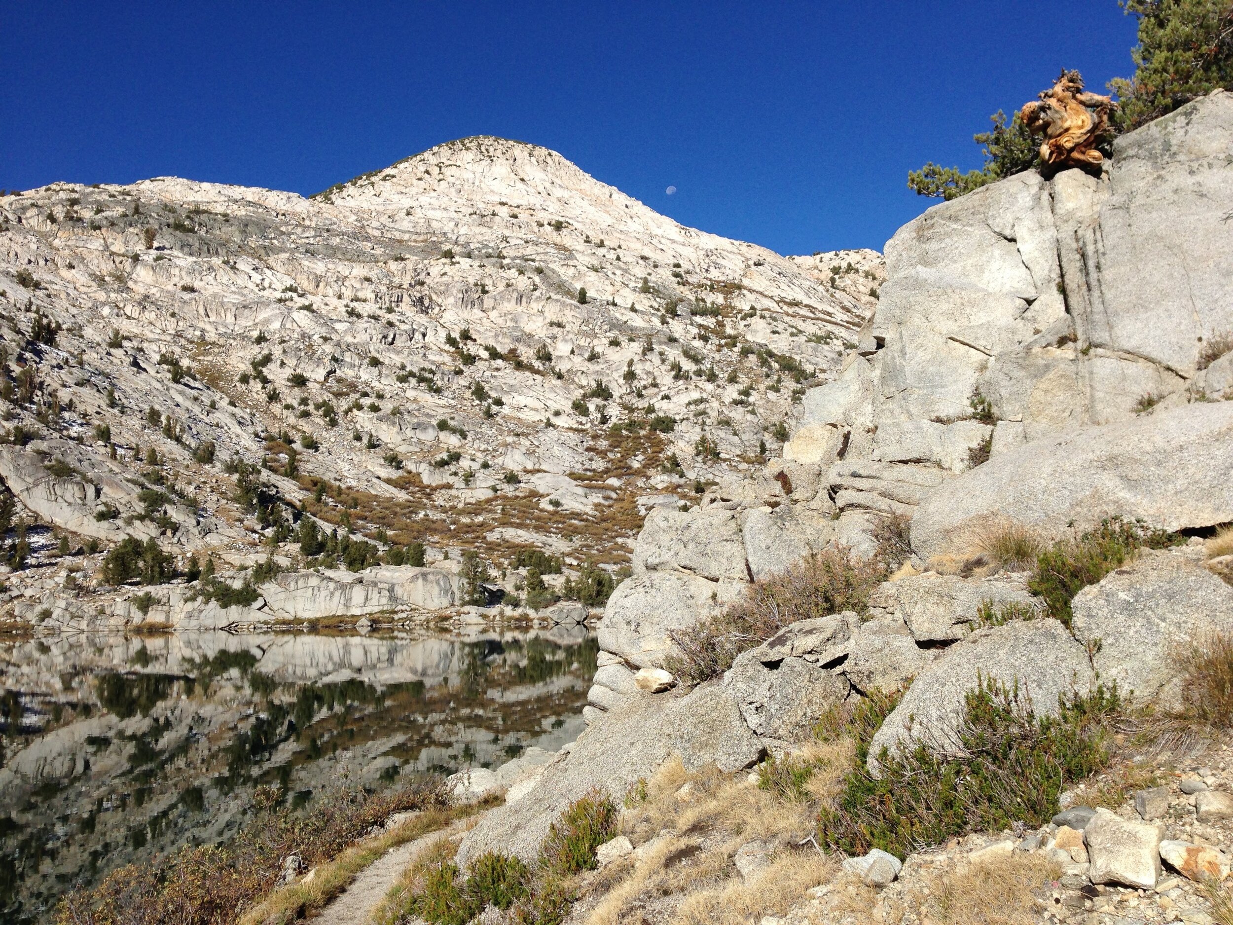
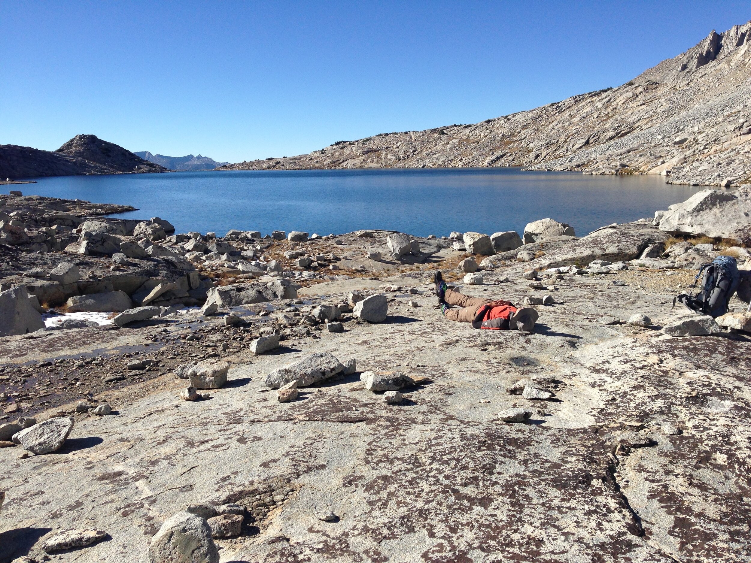
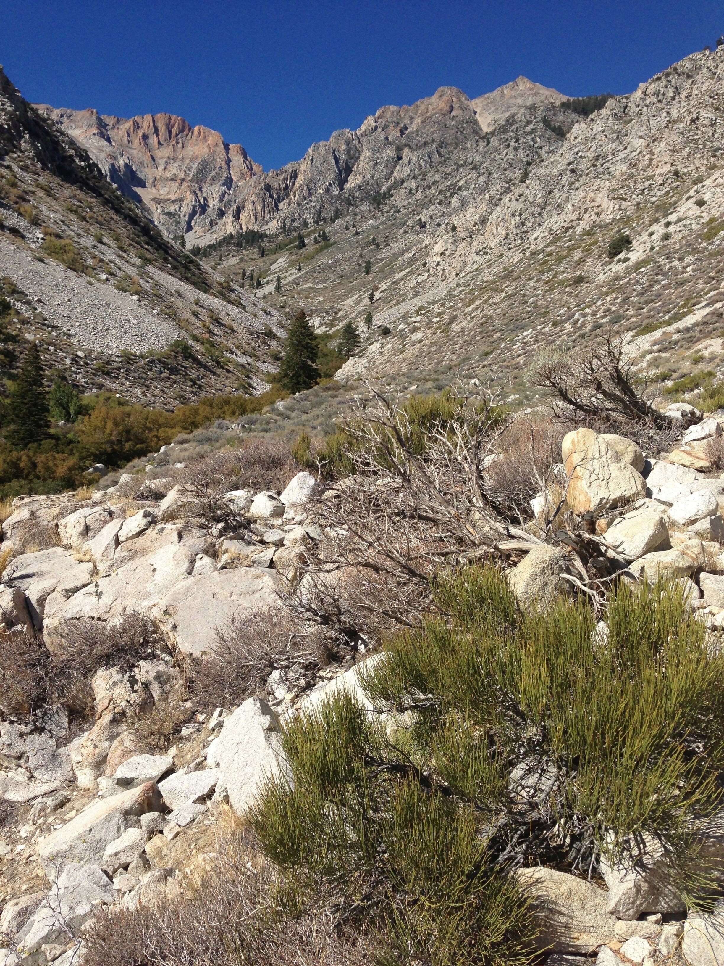
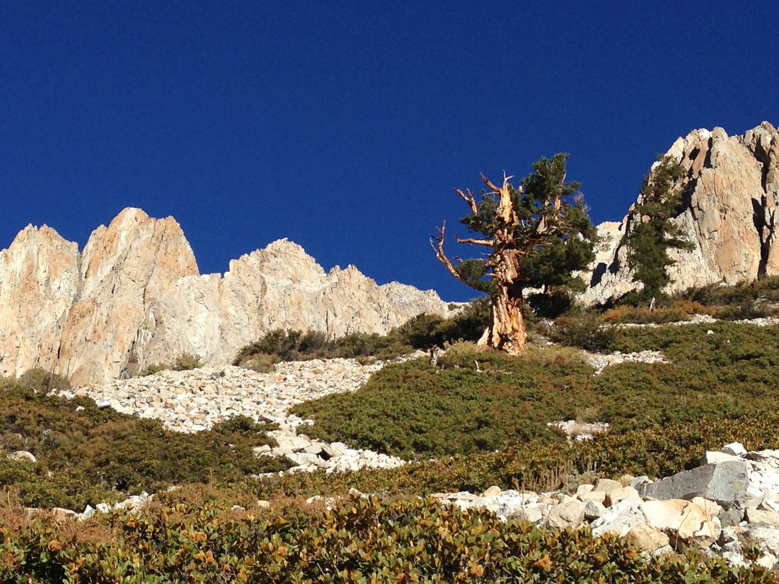
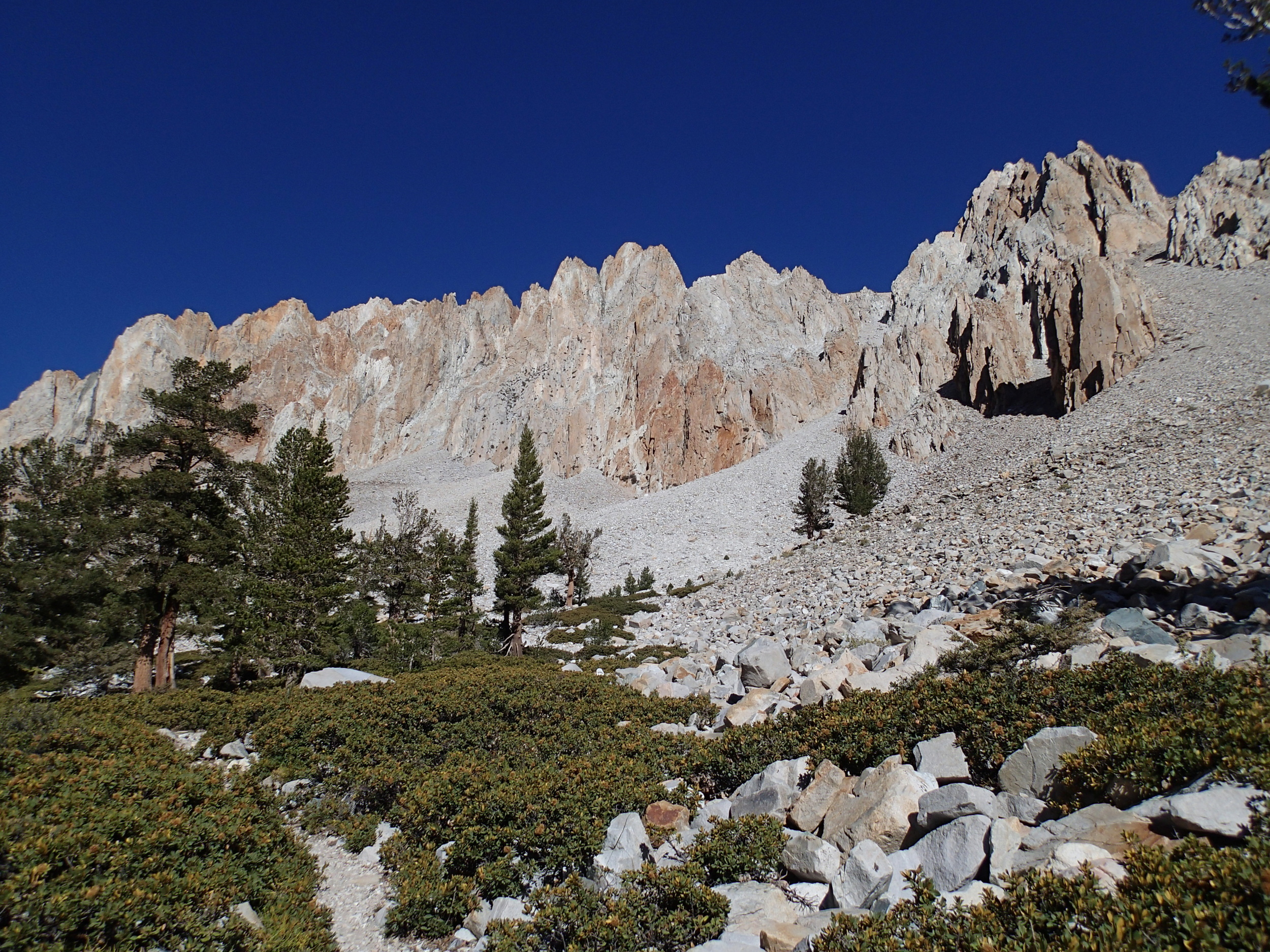
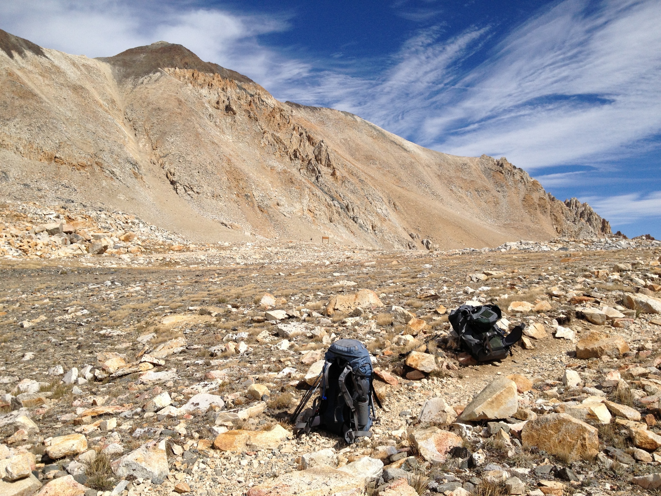
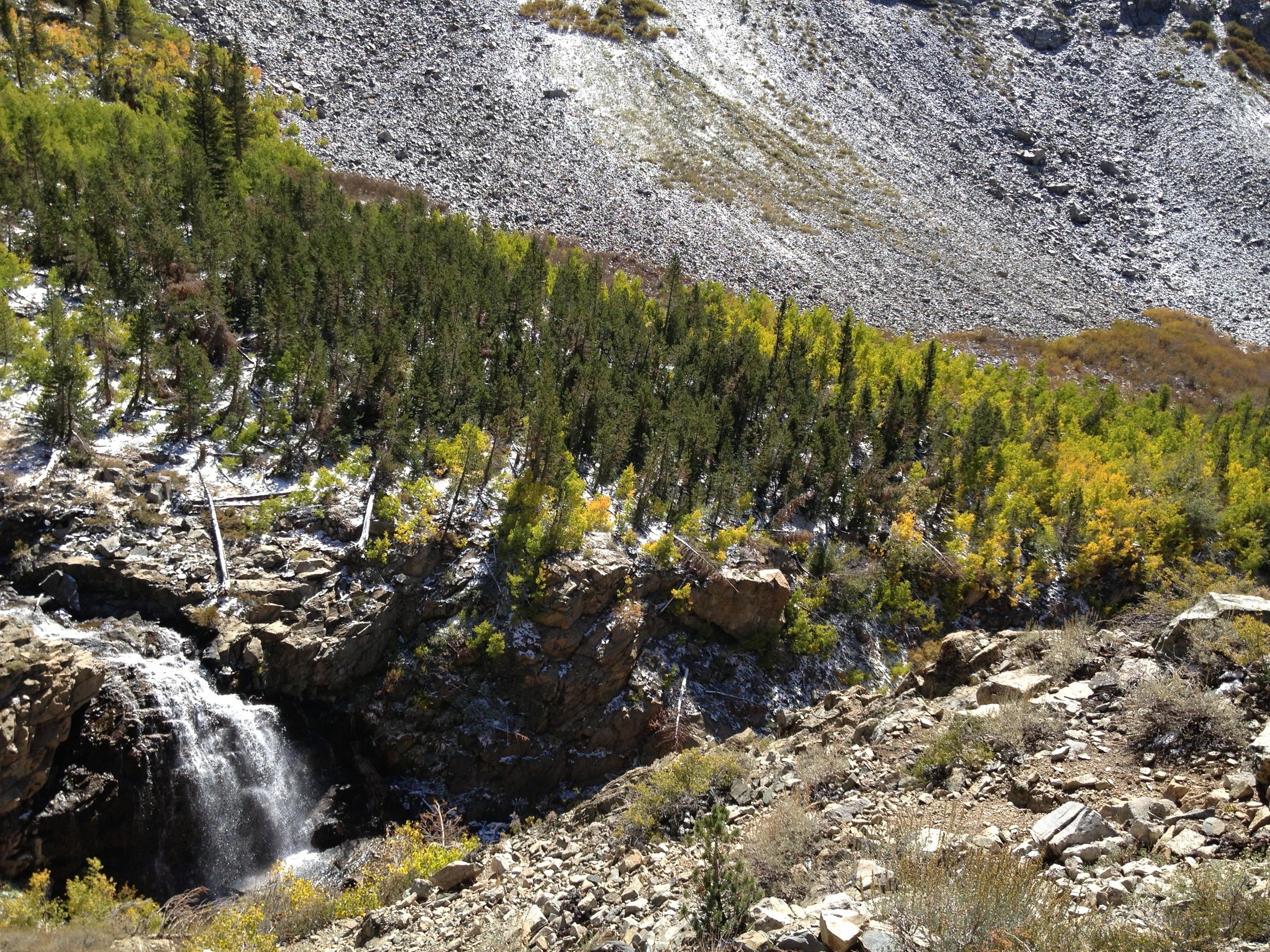
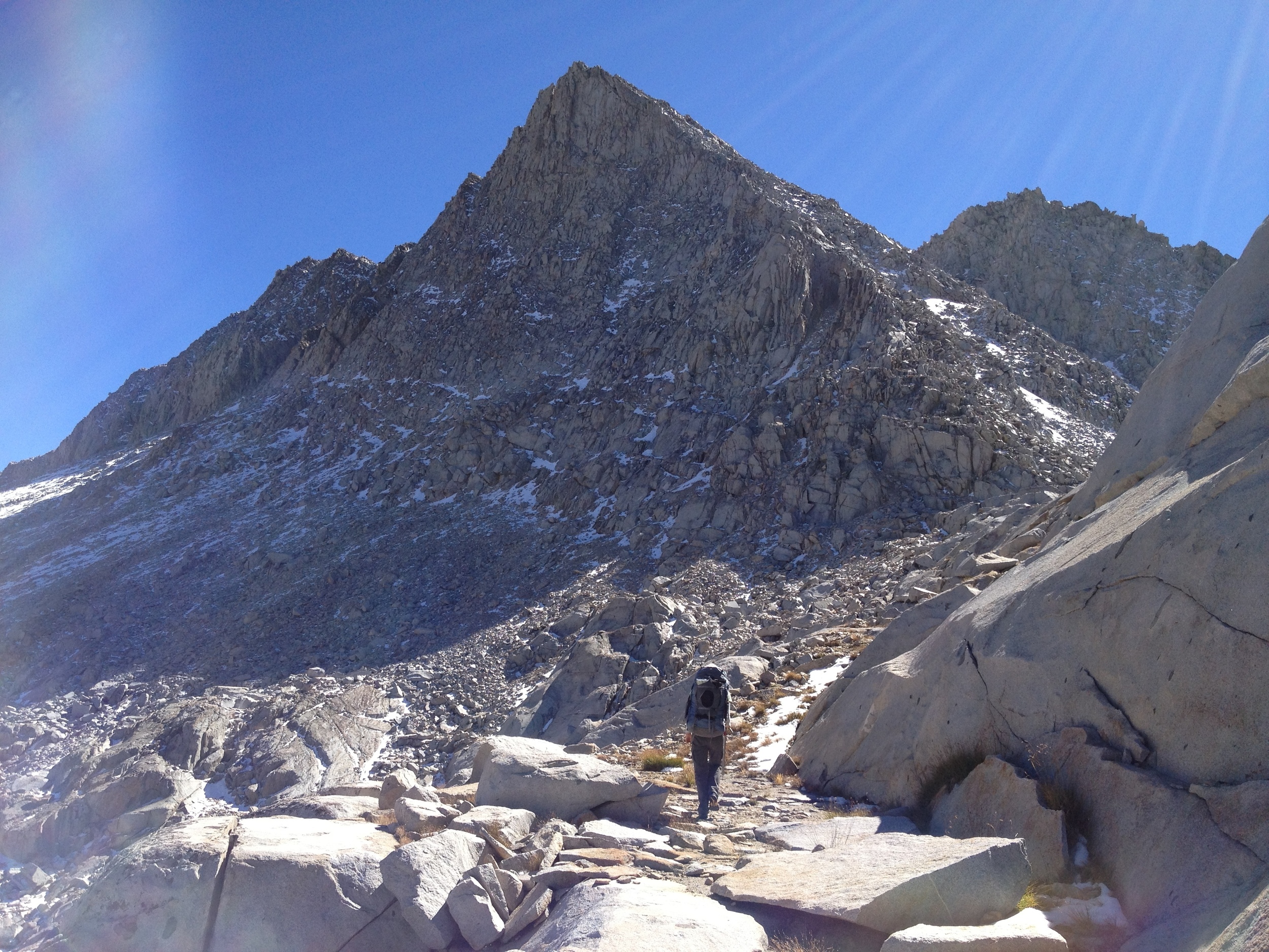
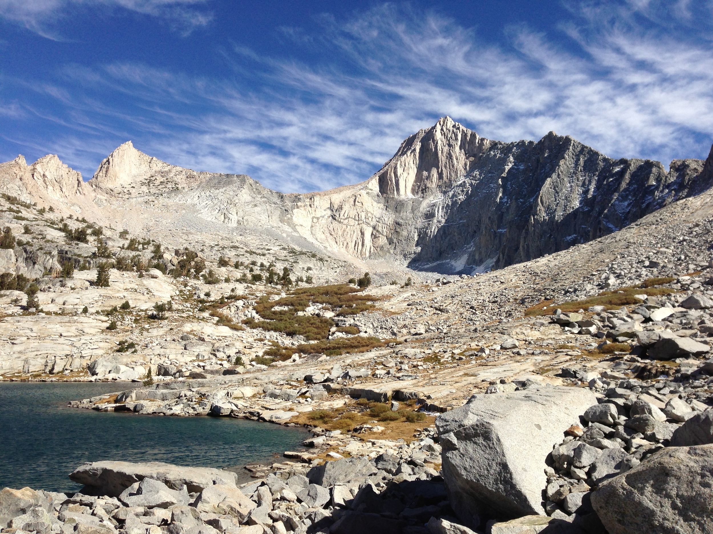
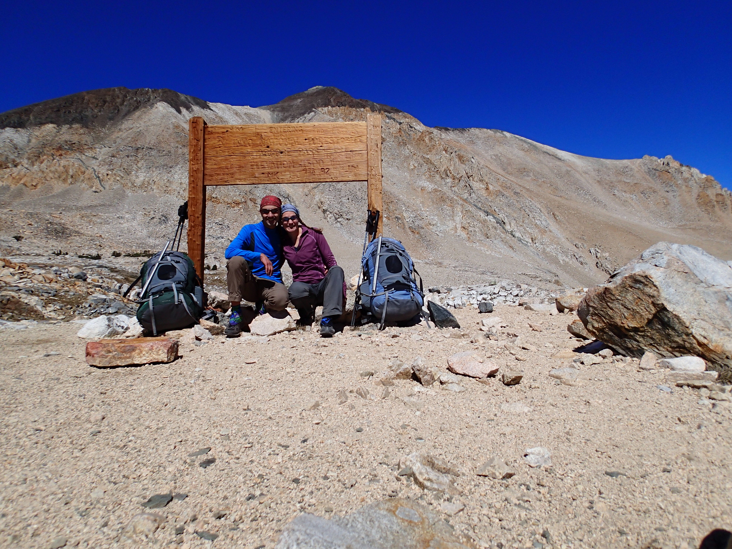
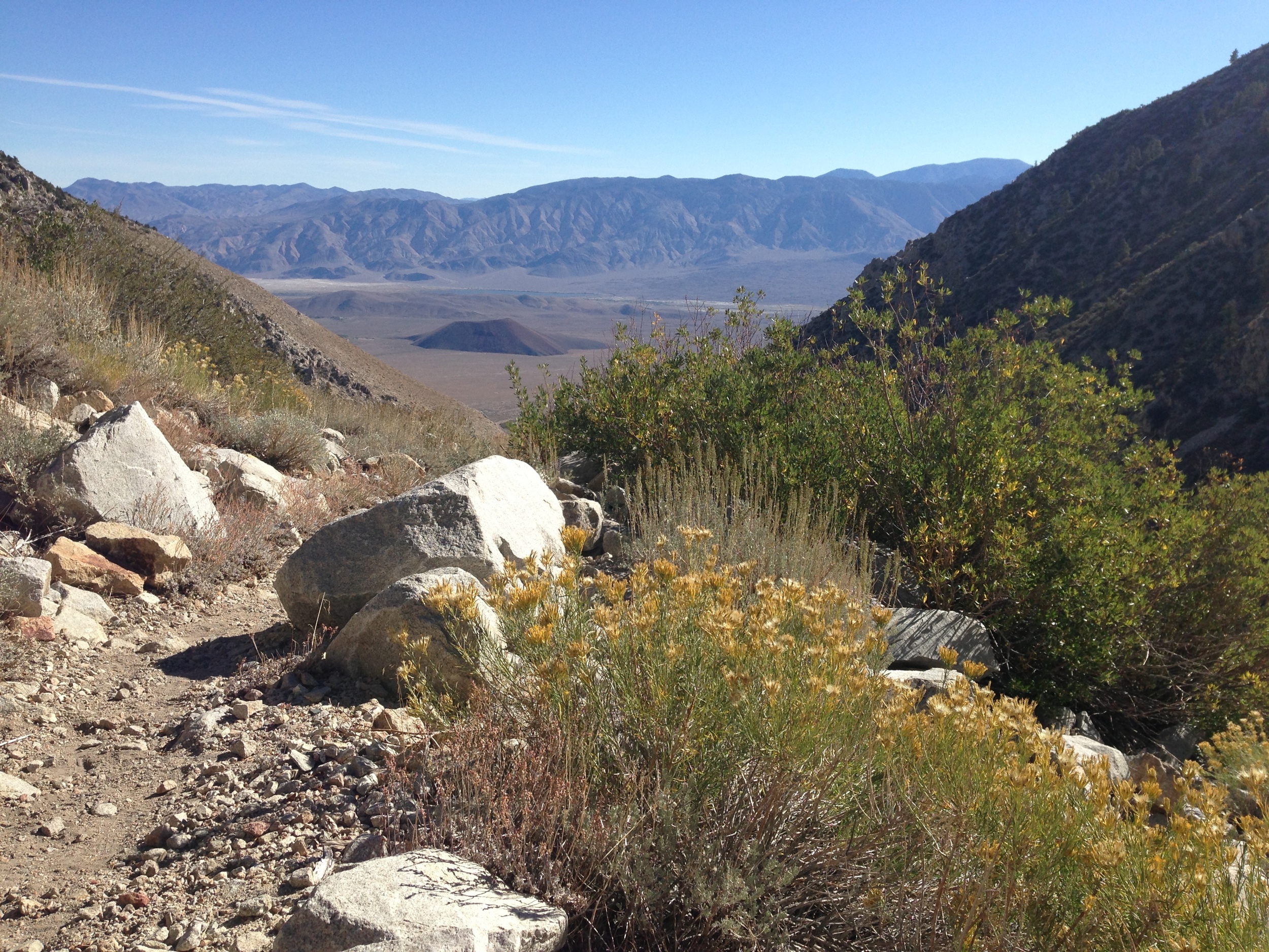
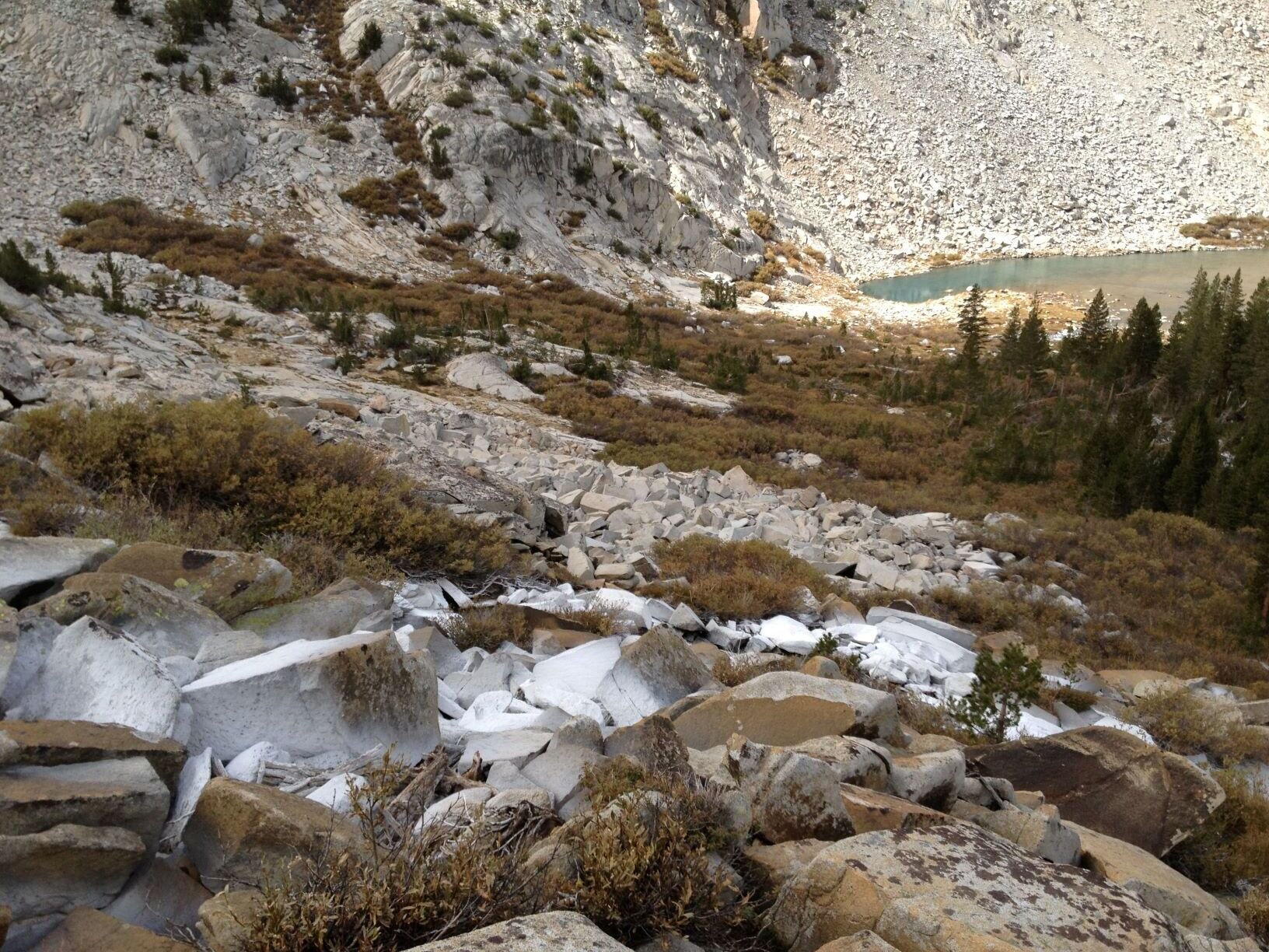
Day 5 - Upper Gardiner Basin over King Col - 5.9 mi off-trail + 1 mi on-trail | Total Climb 2249' | Total Descent 4787'
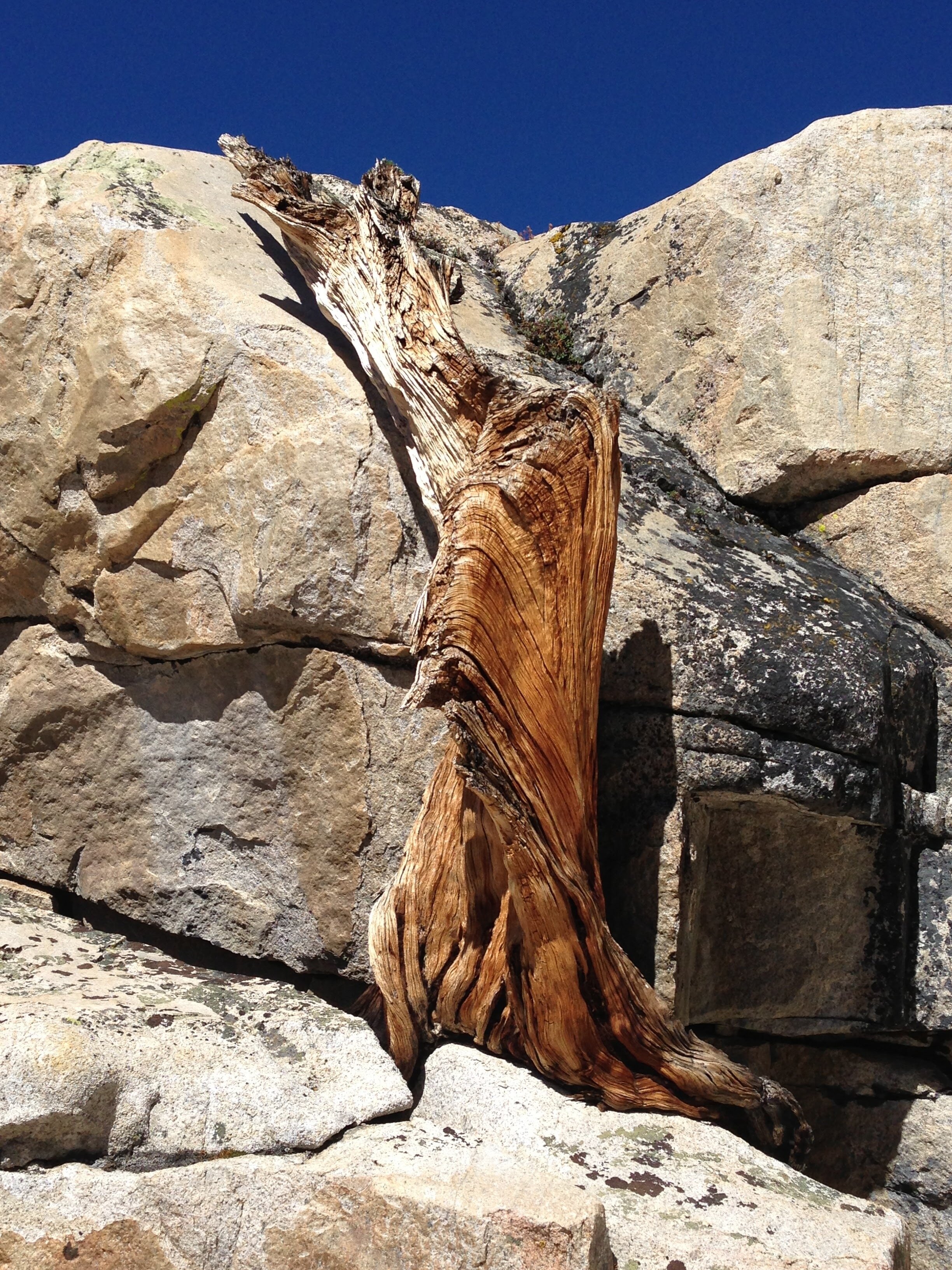
Pro Tip: We do NOT recommend using King Col for the faint of heart despite its "Class 2" rating by Secor due the extremely steep, narrow, and loose upper chute on the north side. We won't make this mistake twice! We'll share several pictures here since we were unable to find any when considering the route for our trip. Since then, we found Roger Lilly's pics which give a better view of the top, steep section (the snow wasn't all the way across on our trip) where we were too busy surviving to snap any shots. There's now also a detailed King Col post on High Sierra Topix, and we wholeheartedly agree with the sentiment expressed there ("every step down is an exercise in how close you're willing to come to being smashed into sausage as you tumble down the slope"). In summary, King Col is generally to be avoided.
2015 Update: Andrew Skurka includes King Col on his “Kings Canyon High Basin Route” so if you are set on using this cross-country pass, you may want to invest in his map files / route descriptions. You may also find more pics/beta by searching for “KCHBR” trip reports.


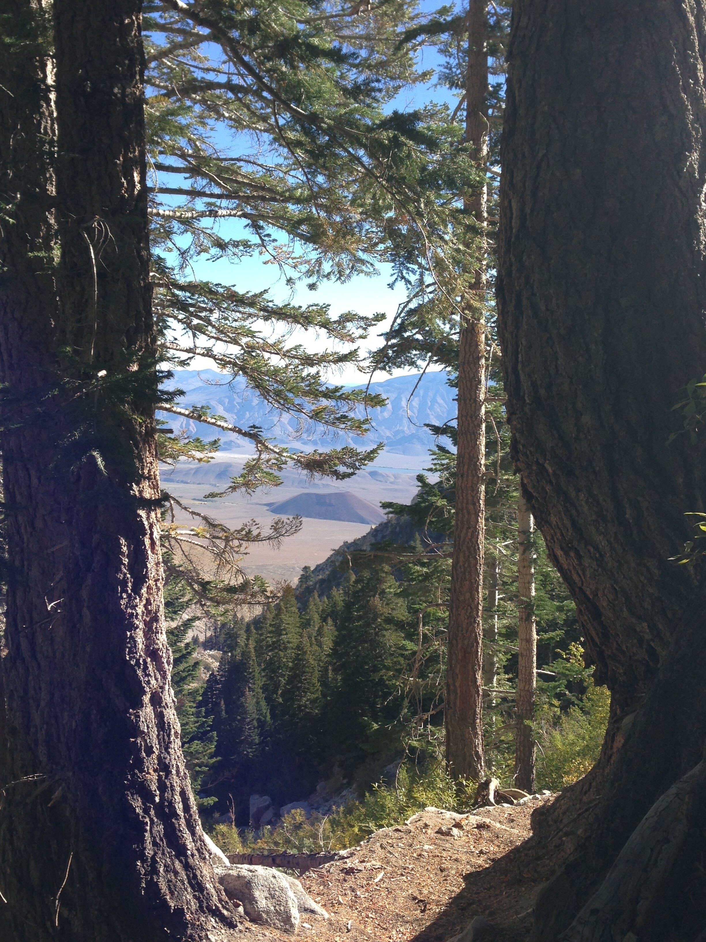
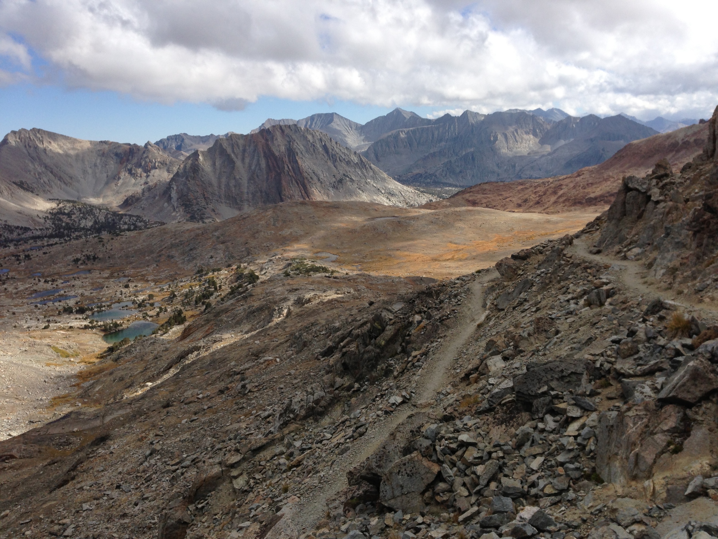
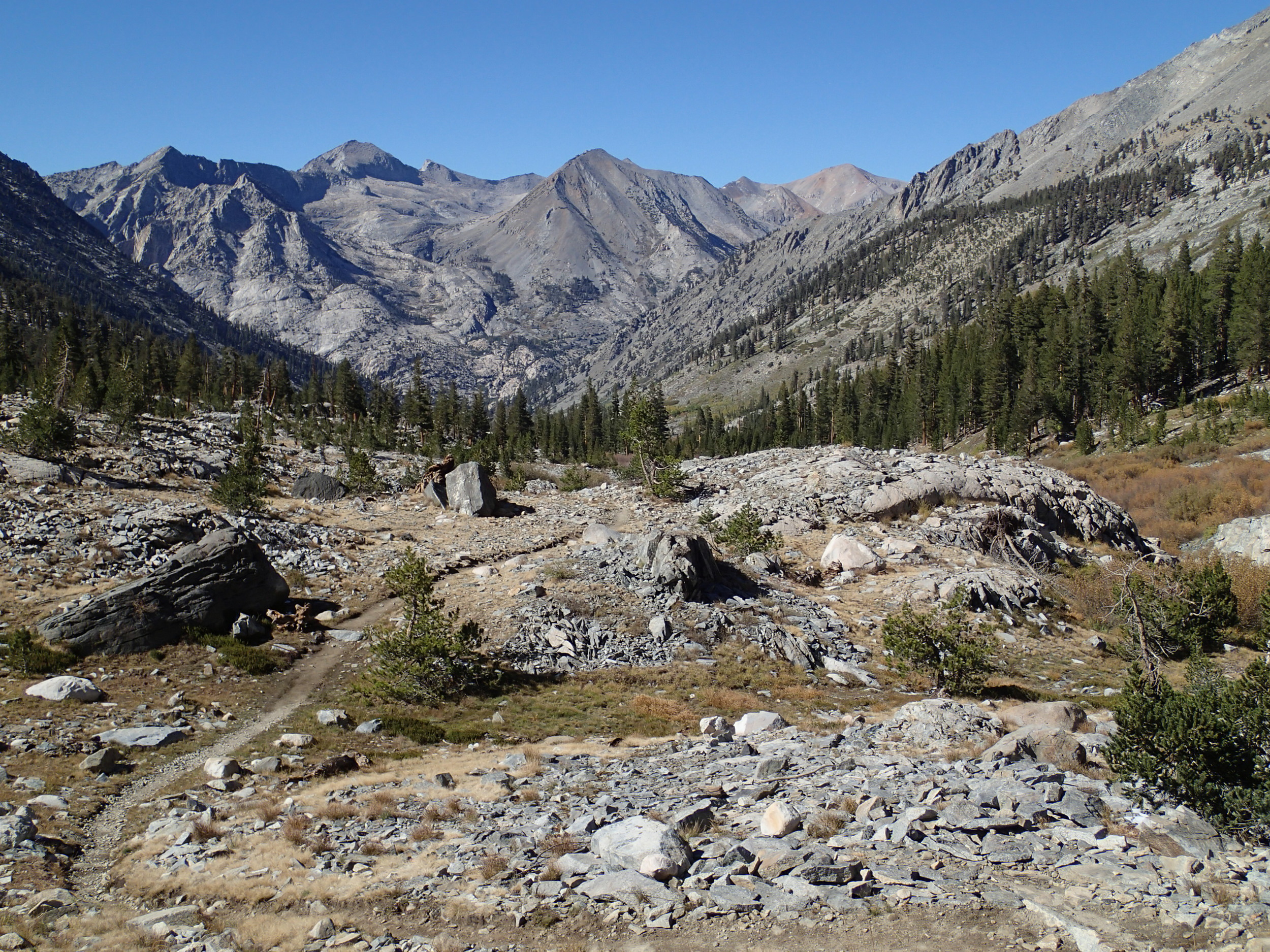
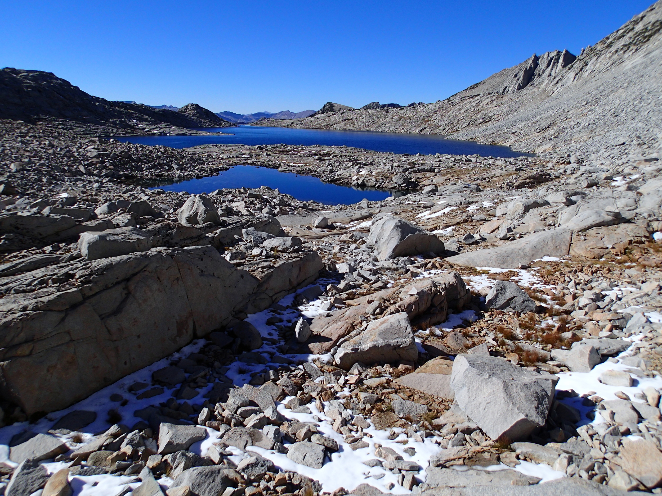
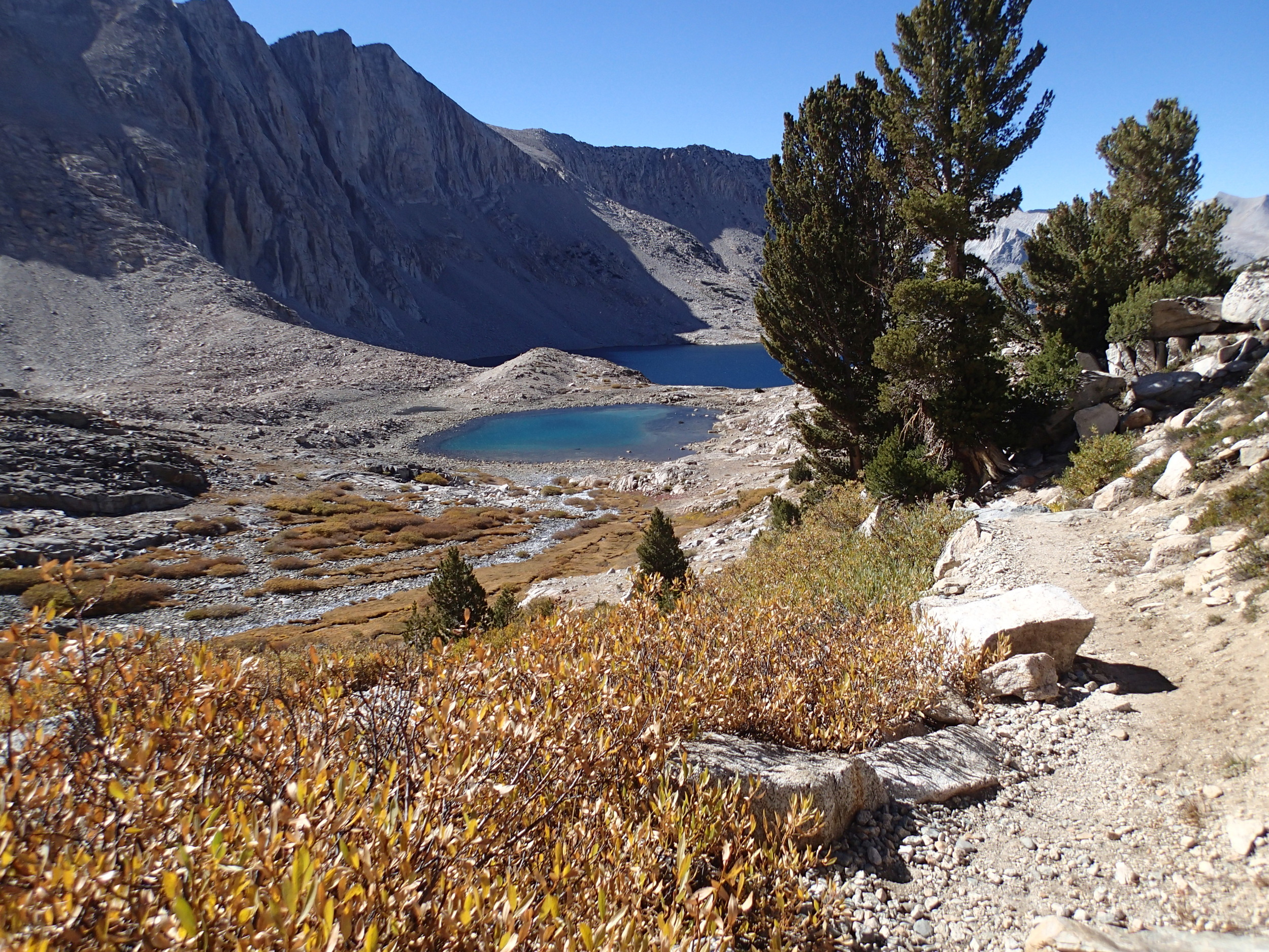
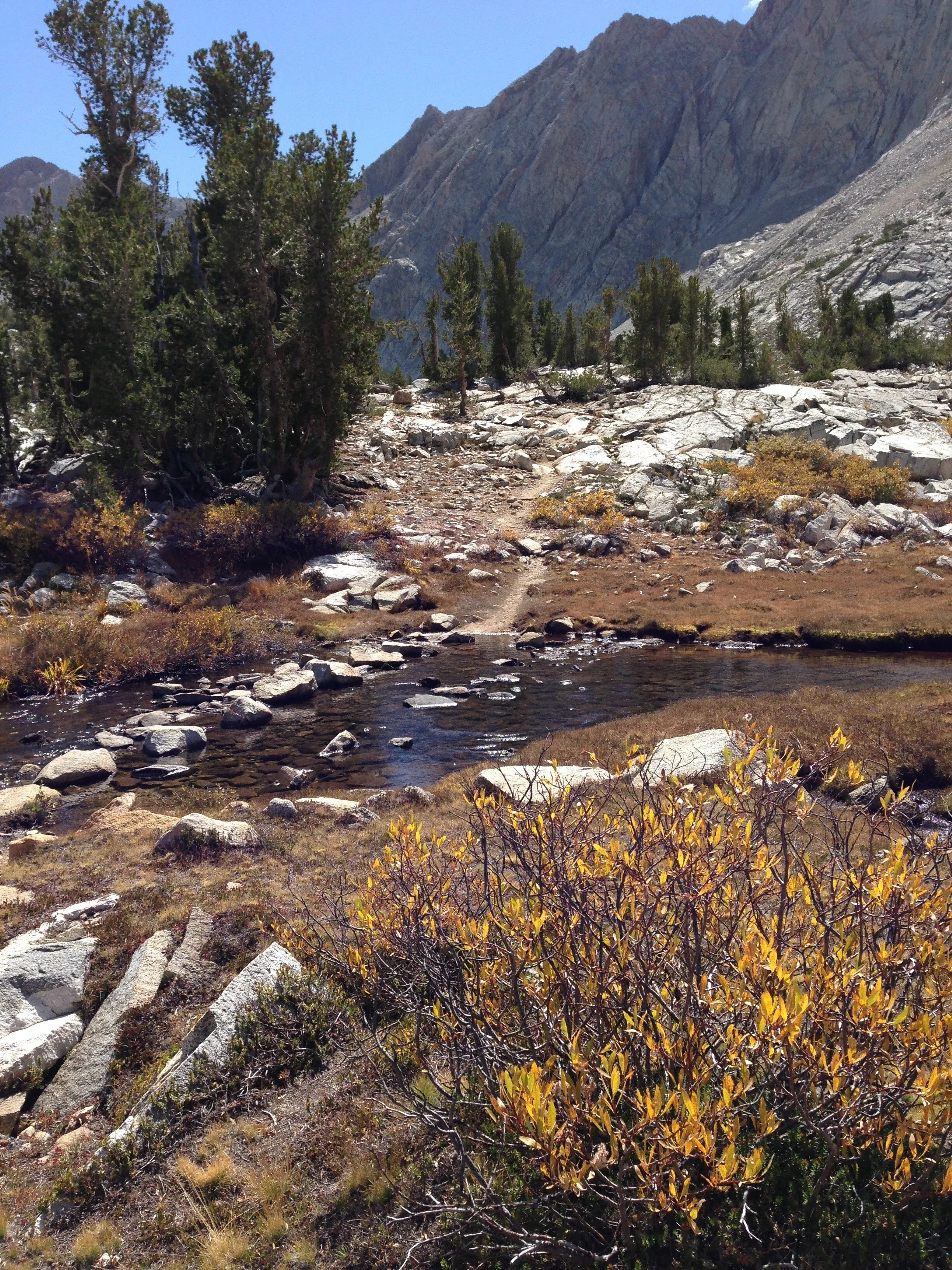
It is true that the basin below King Col is one of the prettiest we’d ever encountered in the Sierra. Maybe it’s just that nice, or maybe we were so relieved not to be dead…. but the sky put on an extra-sweet show for us, and the color of the water in these lakes seemed particularly intense. It was easy walking for a while, but inevitably we had to drop down to Woods Creek. It’s possible that there’s a better way, but we found it to be an enormous slog once we dropped below tree-line, with tedious bushwhacking through endless willows and shrubbery over uneven and slick granite. I thought we’d never reach Woods Creek and was a bit worried about the crossing once we did - it would have been a long way to pick our way on the south side of the creek all the way to the suspension bridge. Fortunately, the late season water flows once again worked in our favor and when we did reach the creek we didn’t have much difficulty finding a spot to safely cross. The trail was a bit further from the opposite shore than we anticipated, but it wasn’t hard to find. Exhausted from the adrenaline of the King Col descent, and scratched up from all of the bushwhacking on the way to the creek, we were in ready agreement that we would set up camp at the Woods Creek JMT/PCT crossing. Normally we would never camp at such a popular junction, but neither of us had the energy to pass up such an easy site. We arrived to find only one other group of hikers there, and considered ourselves lucky.
Day 6 - Woods Creek Jct - 12.5 mi on-trail | Total Climb 4314' | Total Descent 2296'
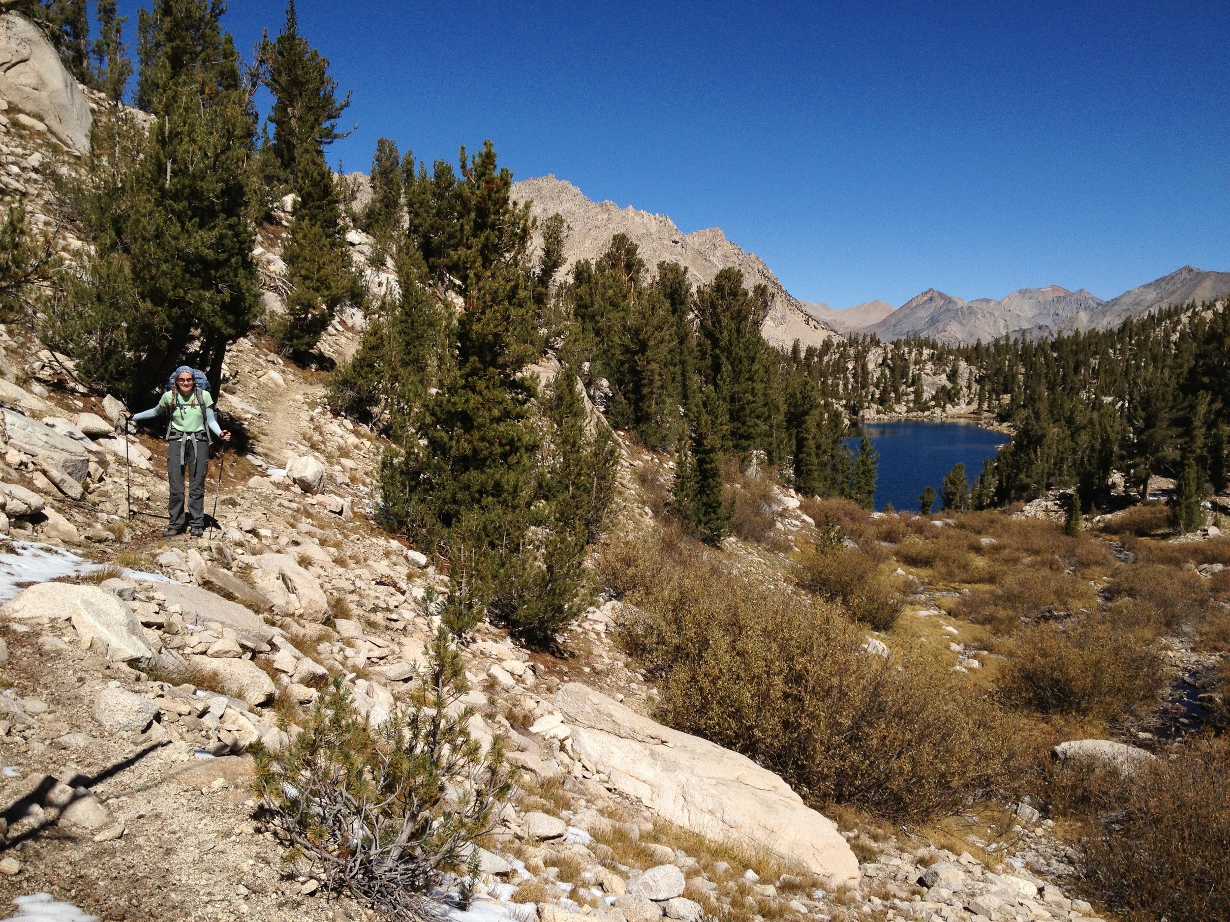
We awoke to another crisp, clear fall day in the High Sierra. It was an easy walk back down Woods Creek and another chance to admire the yellow swath of aspens on the hillside. The skies as we passed Mt. Cedric Wright were a dramatic contrast from our first visit a few days back. We made good time over Pinchot Pass and spent a long, leisurely lunch on the angled rocks of Marjorie Lake (still to chilly for a swim, but we dipped our feet). This time instead of passing the lateral to Bench Lake we took a left turn and headed out to our favorite campsite along this scenic Lake.
Day 7 - Bench Lake / Arrow basin day-hike - 2.7 mi off-trail | Total climb 588' | Total descent 588'
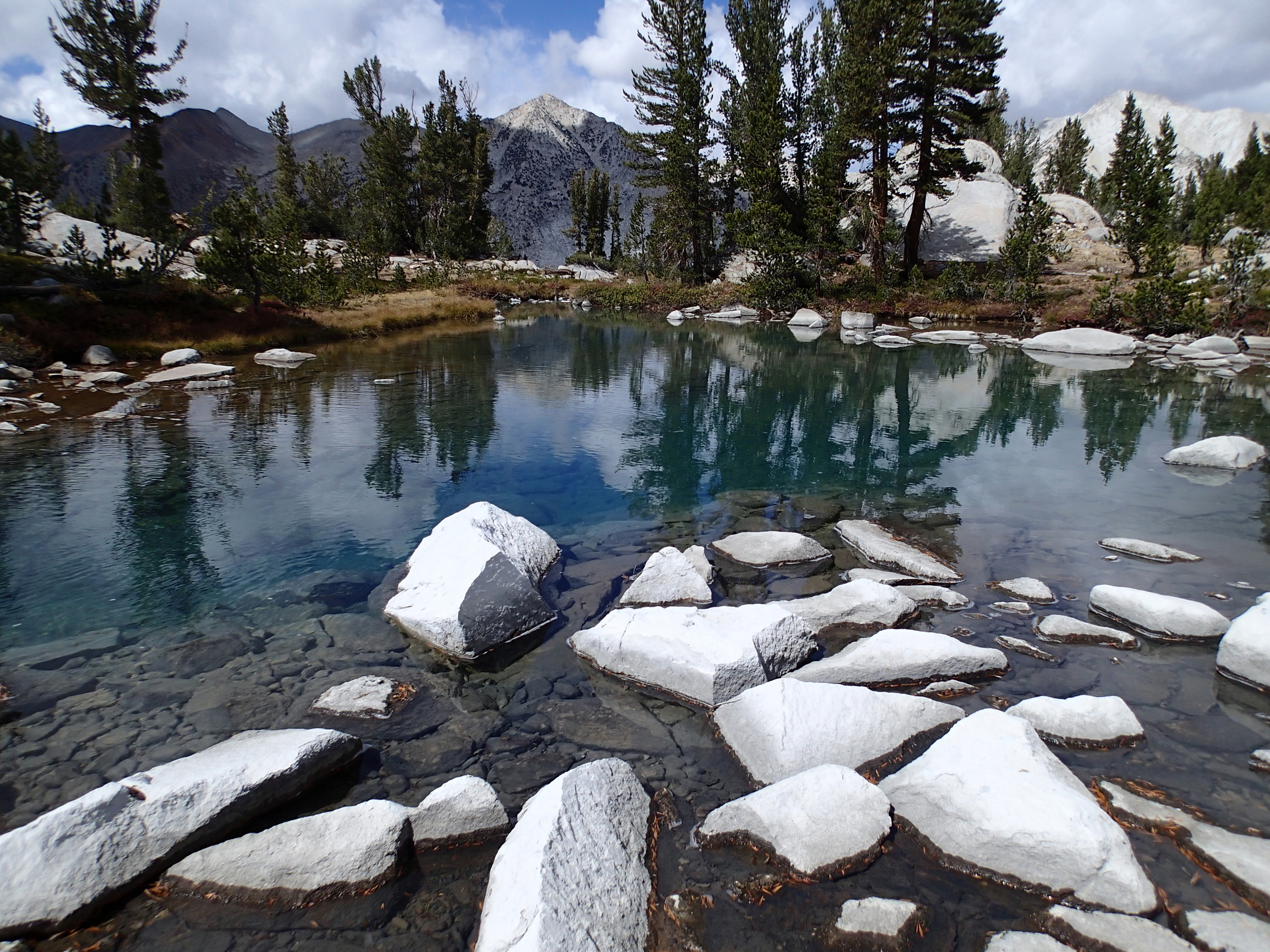
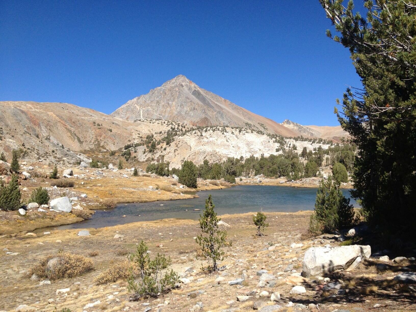
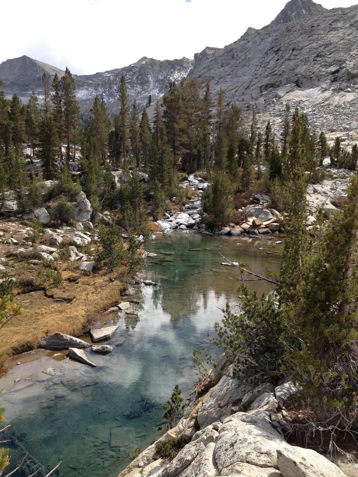
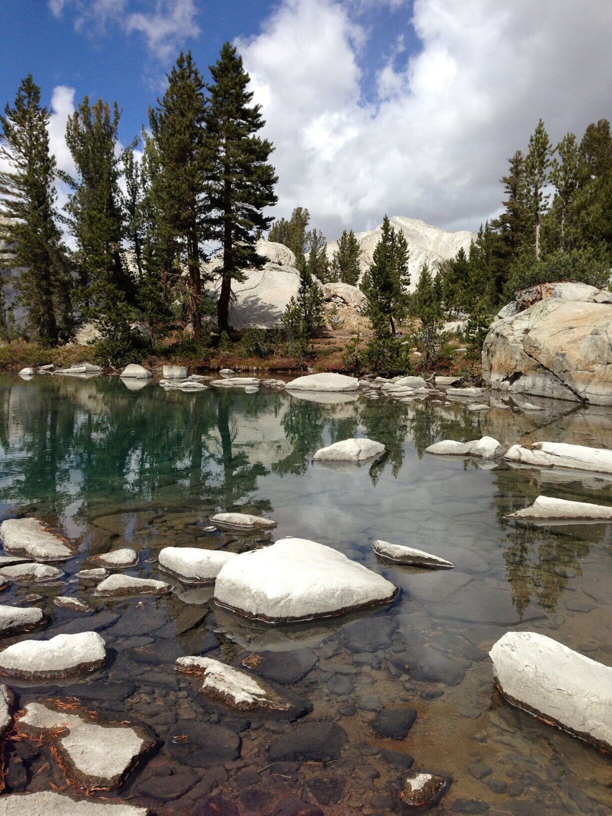
Layover days are rare for us, but after the terror of King Col and several snowy nights, we were both ready for a little mountain R & R. We didn’t have time or inclination to tackle Explorer Pass on this trip, but took advantage of our base camp at Bench Lake to explore the basin below Arrow Peak that would be our approach to the pass when we eventually get around to it. We were delighted to find streams and pools full of water turned milky green by glacial silt, a rarity in the Sierra Nevada. We enjoyed views across the deep canyon of the South Fork Kings River to the peaks that make up the southern boundary of Lake Basin, another favorite spot in this part of the wilderness. We imagined descending all the way to the base of that canyon, then climbing up the old Cartridge Pass route into Lake Basin. Don’t know if it’s passable from this basin to the river, but that’s a project for another time in any case. We ran into a boy scout and his dad headed for Arrow Peak / Arrow Pass, but otherwise we once again had the whole area to ourselves. We dawdled around the basin enjoying more dramatic skies, then headed back to camp in the late afternoon when it looked like we might get another storm. Looking forward to a trip over Explorer Pass to finally see Window Peak Lake one of these days. (update: We did it, the next year)
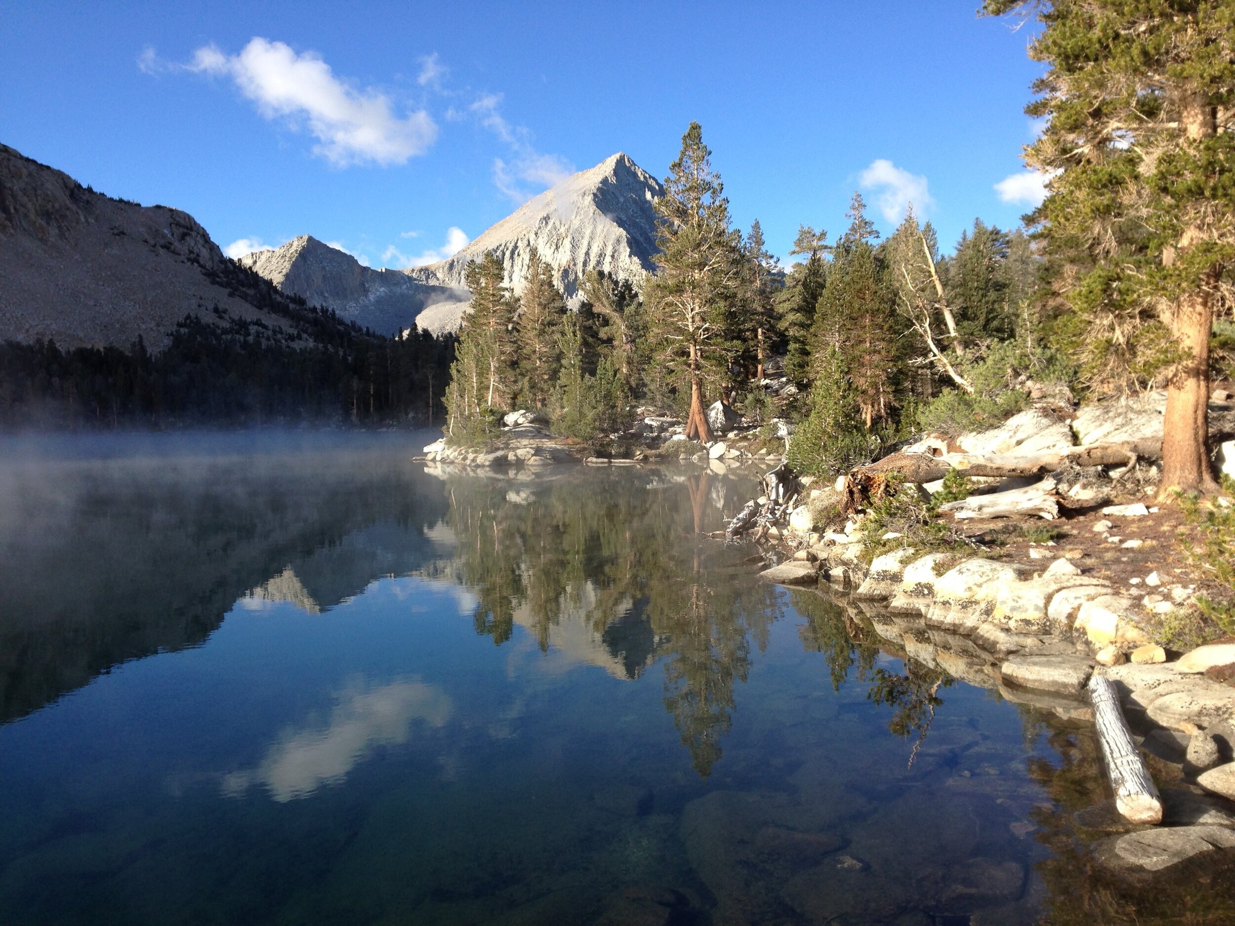
Day 8 - Bench Lake - 6.7 mi on-trail | Total climb 1276' | Total Descent 2203'
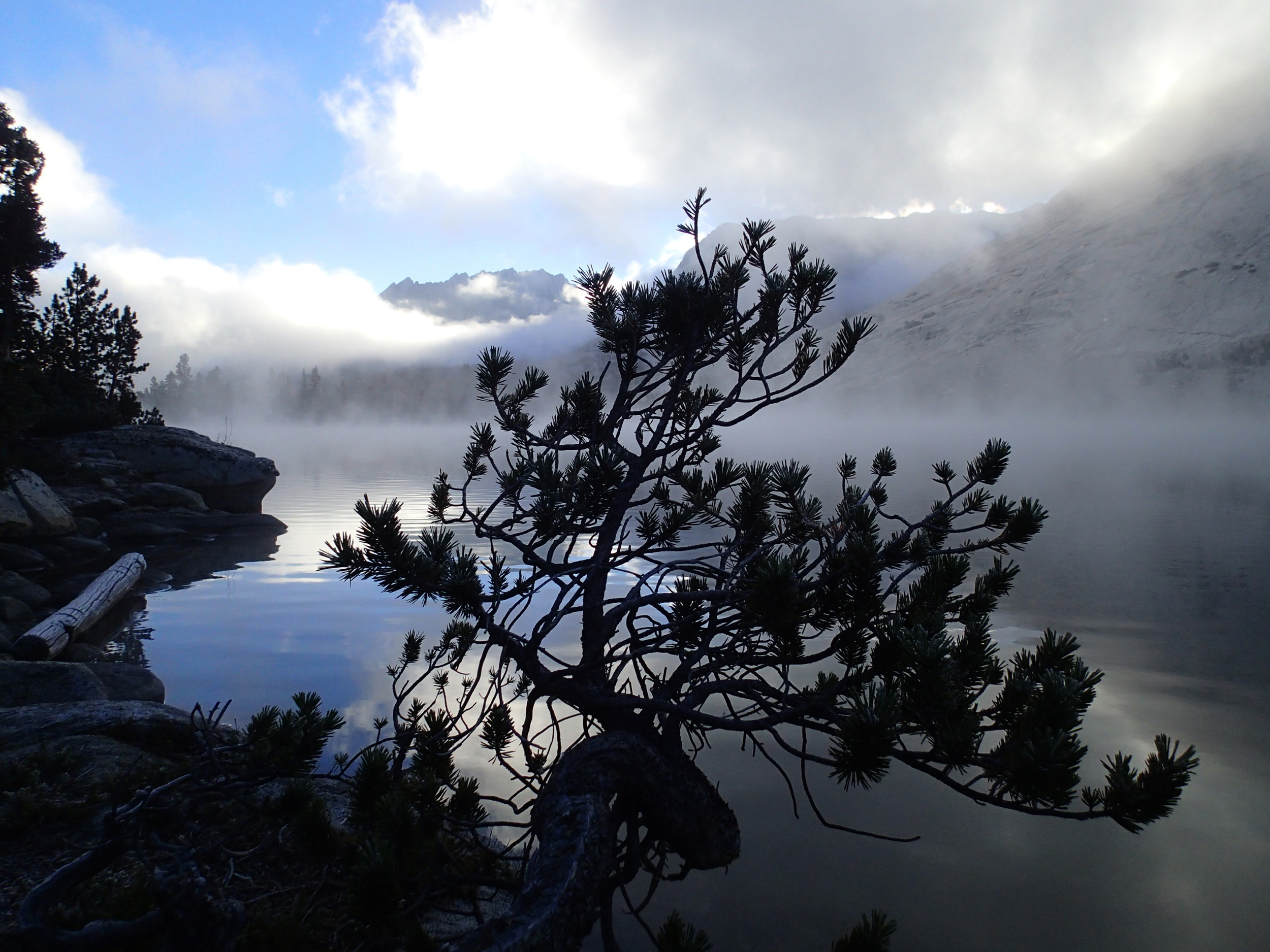
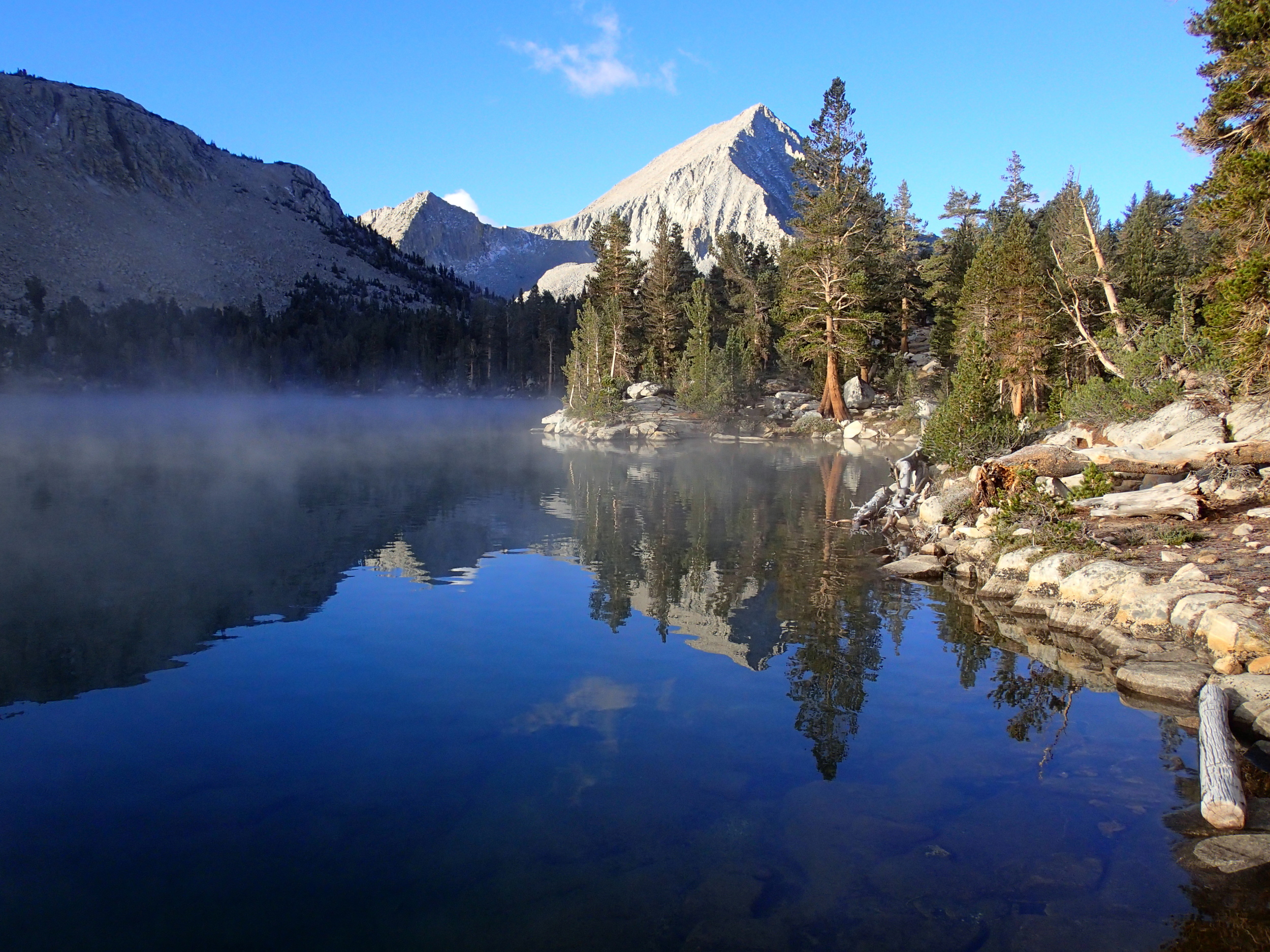
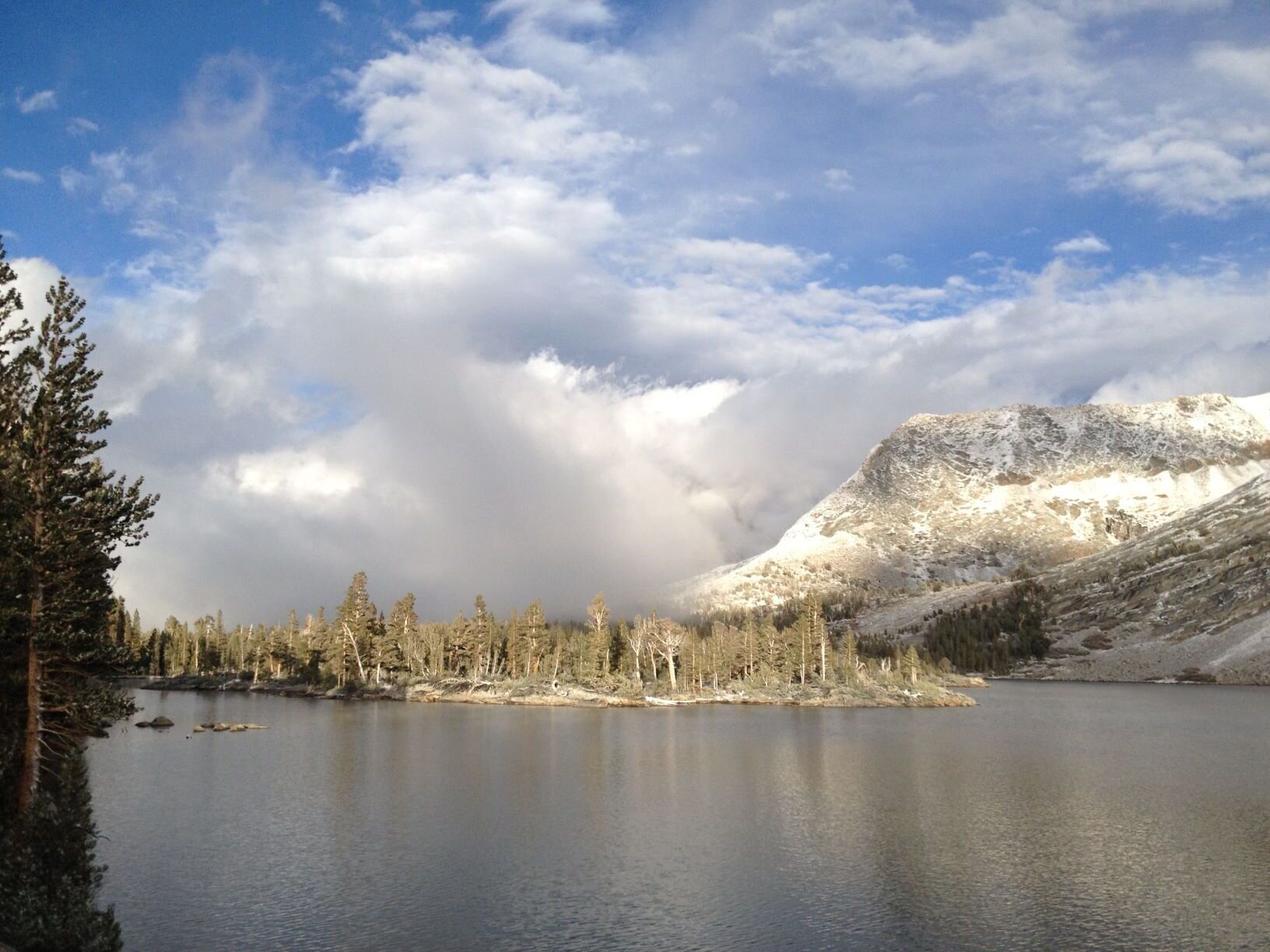
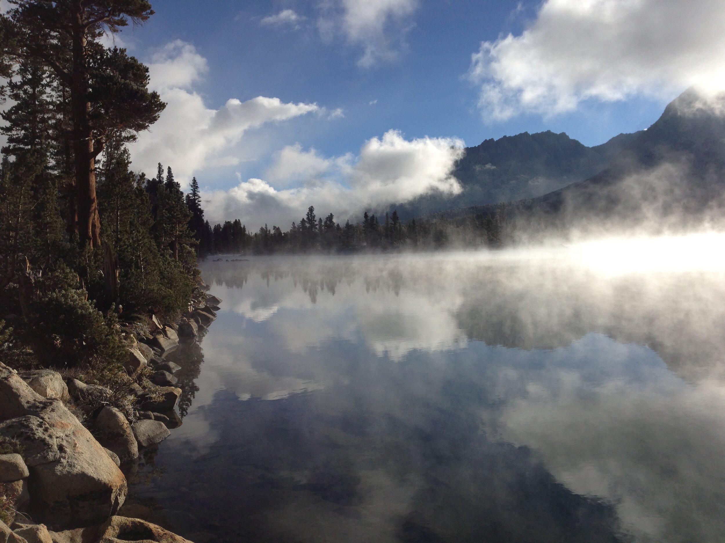
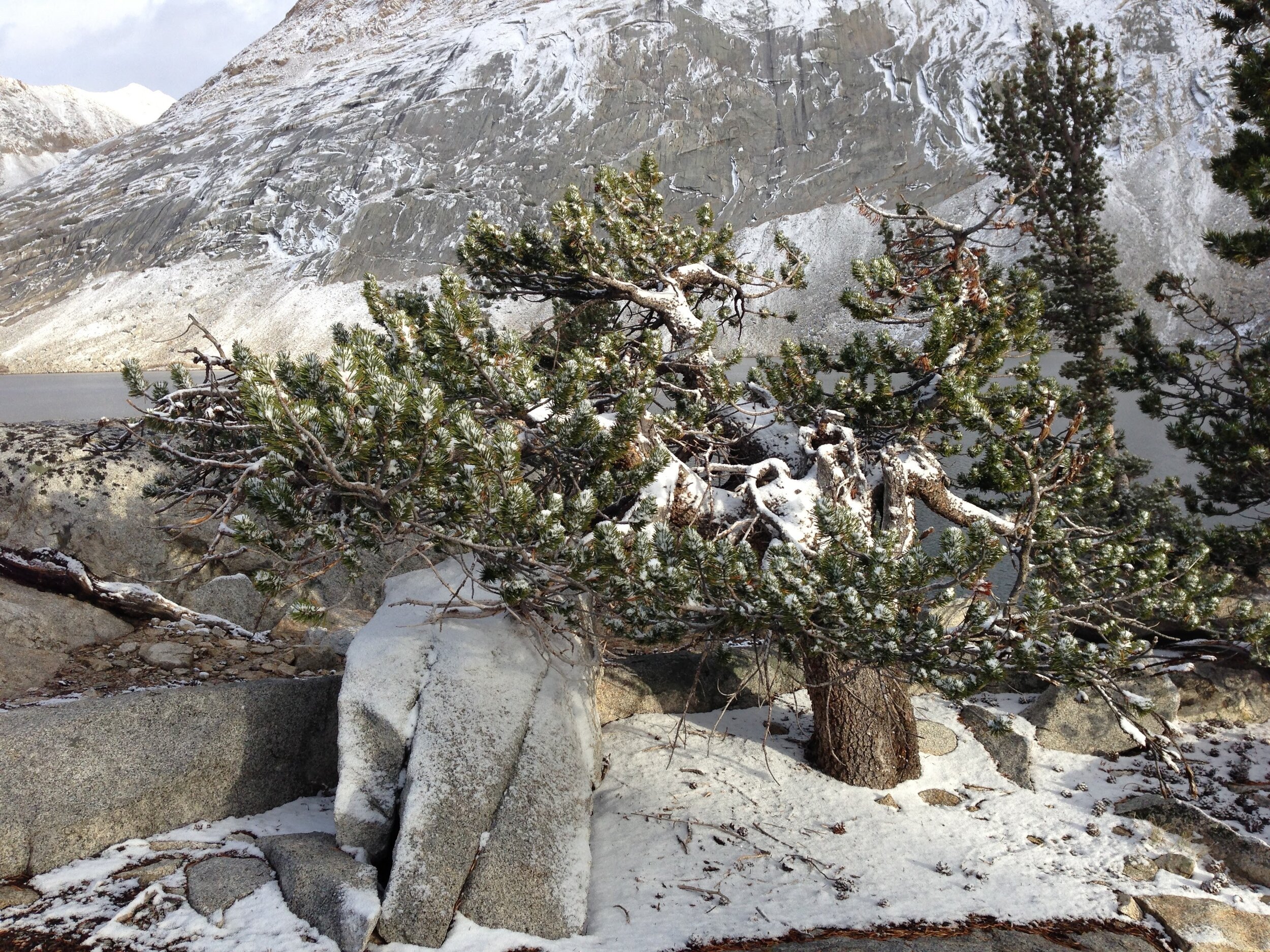
Bench Lake is one of our favorite places to camp. Spectacular views of Arrow Peak, plenty of yamadori lodgepole pines, and the privacy that comes with being on a “dead-end” trail with a steep/exposed approach from the east side. We woke up on our second morning there to a dusting of fresh snow, and as a special treat also had an hour of dramatic steamfog rising from the lake before the sun warmed the earth and melted the snow.
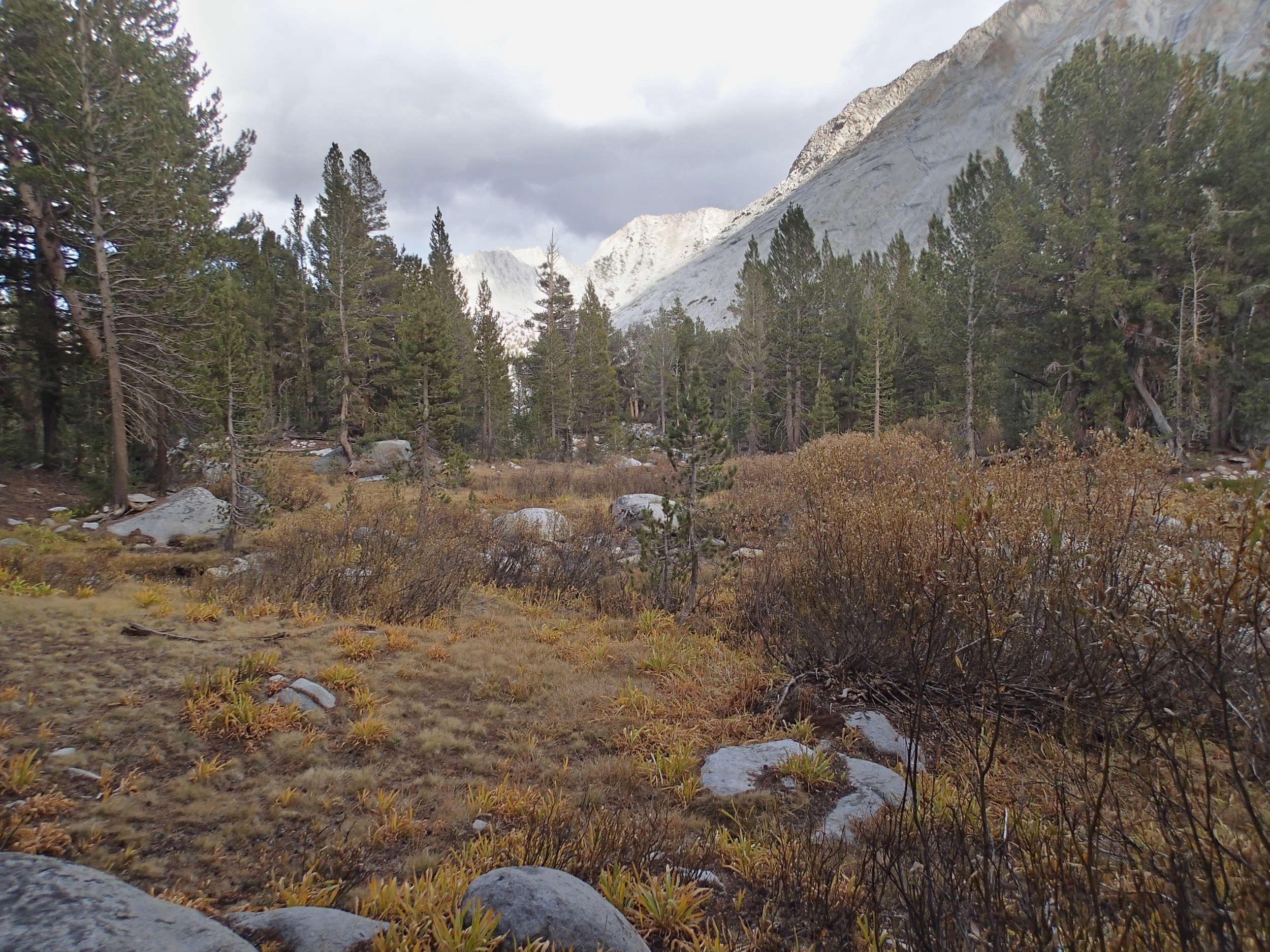
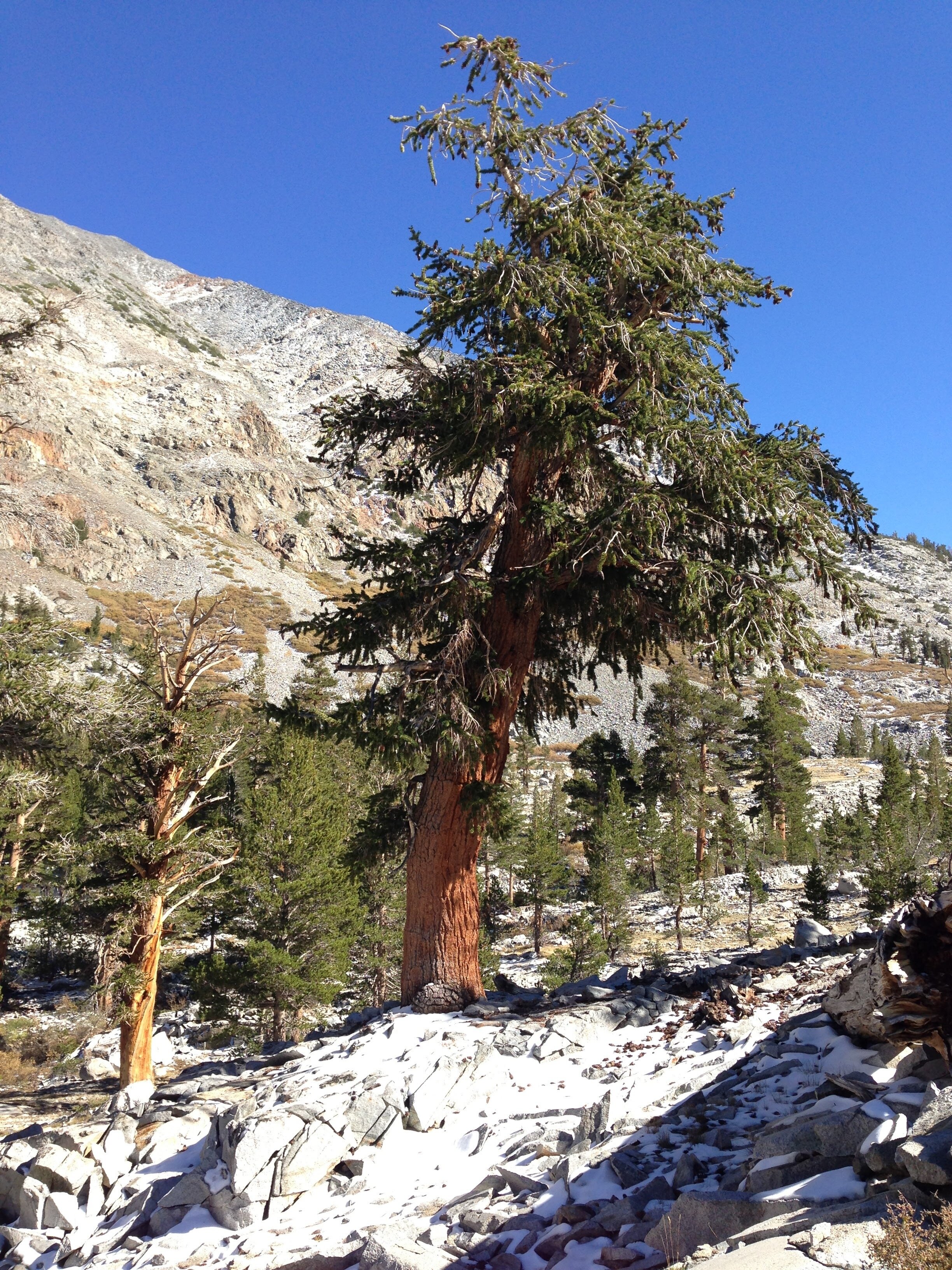
Day 9 - Upper Taboose Creek Pine Grove - 5.7 mi on-trail | Total Climb 566' | Total Descent 5020'
We usually try to leave a short (and/or easy) walk for the last day, as we inevitably have a long drive back and are both scheduled to work “tomorrow” - why waste vacation days sitting at home?! Some might consider the Taboose Pass trail a slog, but we love it for the grove of rare Limber Pines that grow at the middle elevations, right around our campsite.